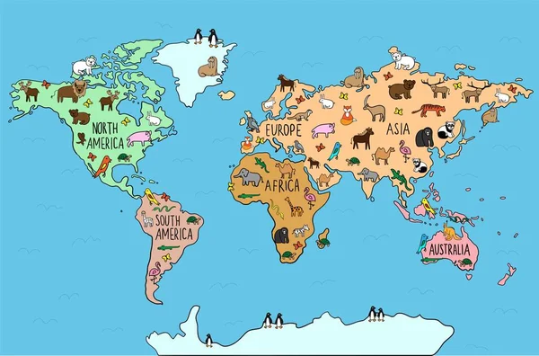
Illustrated map of the world with cartoon animals for kids. — Stock Vector

Illustrated map of the world with cartoon animals for kids. — Vector

Illustrated map of the world with cartoon animals for kids. continents, animals, plants for preschoolers, schoolchildren, home schooling.

 — Vector by Betty1994

Same Series:

Colored Hand drawn doodle map with endemic animals. European typical wildlife. World fauna. habitats
Colored Hand Drawn Doodle Map Endemic Animals European Typical Wildlife — Stock Vector
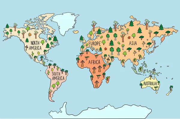
Colored Hand drawn doodle map with trees. Maple tree, pine, birch, palm, sacura. World flora. habitats Vector illustration
Colored Hand Drawn Doodle Map Trees Maple Tree Pine Birch — Stock Vector
Hand drawn doodle map with colored continents. Abstract watercolor world map. Vector illustration
Hand drawn doodle map with colored continents. Abstract watercolor world map. Vector illustration — Stock Vector
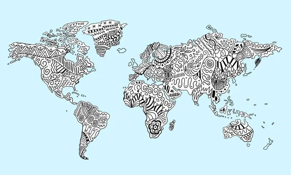
Hand drawn doodle map with ornament, pattern or free hand lines. Abstract world map. Vector illustration
Hand drawn doodle map with ornament, pattern or free hand lines. Abstract world map. Vector illustration — Stock Vector
Hand drawn map of North America continent. Usual trees and animals. Symbols. Birch, pine, cactoo, eagle, bear. Vector illustration
Hand drawn map of North America continent. Usual trees and animals. Symbols. Birch, pine, cactoo, eagle, bear. — Stock Vector
Hand drawn doodle map with trees. Maple tree, pine, birch, palm, sacura. World flora. habitats. Vector illustration
Hand drawn doodle map with trees. Maple tree, pine, birch, palm, sacura. World flora. habitats — Stock Vector
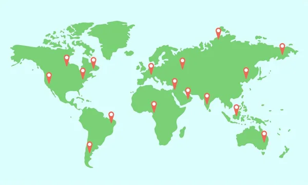
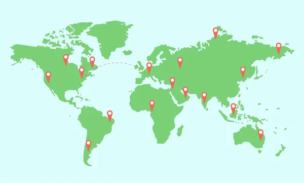
Colored illustrated map of the world with continents and navigator pin red mock up. location icon, Destination points.
Black and white illustrated map of the world with continents for preschoolers, schoolchildren, home schooling. — Stock Vector
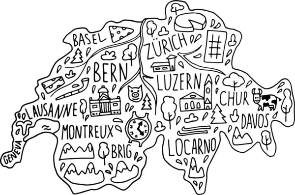
Hand drawn doodle Switzerland map. Swiss city names lettering and cartoon landmarks, tourist attractions cliparts. travel, trip comic infographic poster. Bern, Zurich, lake, temple.
Hand drawn doodle Switzerland map. Swiss city names lettering and cartoon landmarks, tourist attractions cliparts. — Stock Vector
Bright illustrated map of the world with continents for preschoolers, schoolchildren, home schooling. Some vawes on the ocean
Bright illustrated map of the world with continents for preschoolers, schoolchildren, home schooling. — Stock Vector
Colored illustrated map of the world with continents and navigator pin red mock up. location icon, Destination points.
Black and white illustrated map of the world with continents for preschoolers, schoolchildren, home schooling. — Stock Vector
Hand drawn doodle map with ornament, pattern or free hand lines. Abstract world map. Vector illustration
Hand drawn doodle map with ornament, pattern or free hand lines. Abstract world map. Vector illustration — Stock Vector
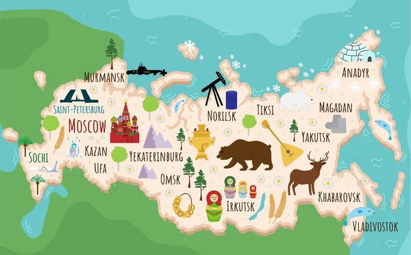
Hand drawn doodle Russia map. Russian city names lettering and cartoon landmarks, tourist attractions cliparts. travel, trip comic infographic poster, banner concept design
Hand Drawn Doodle Russia Map Russian City Names Lettering Cartoon — Stock Vector
Approximate abstract World map in green colors. Childish drawing. Vector illustration.
Approximate Abstract World Map Green Colors Childish Drawing Vector Illustration — Stock Vector
Colored illustrated map of the world with continents and navigator pin red mock up. Connecting global travel technology location icon, Destination points. Aviation routes concept
Black and white illustrated map of the world with continents for preschoolers, schoolchildren, home schooling. — Stock Vector
Map of Russia. Flat cartoon of russian country with its famous landmarks. Cathedral, musk, bear and bridges. buildings, food and plants. Funny tourist infographics. National symbols. attractions. Vector illustration.
Map Russia Flat Cartoon Russian Country Its Famous Landmarks Cathedral — Stock Vector
Colored Hand drawn doodle World map with continents. North and South America, Europe, Asia, Australia, Africa. Black and white vector illustration
Hand drawn colored doodle World map with continents. North and South America, Europe, Asia, Australia, Africa. — Stock Vector

Usage Information

You can use this royalty-free vector image "Illustrated map of the world with cartoon animals for kids." for personal and commercial purposes according to the Standard or Extended License. The Standard License covers most use cases, including advertising, UI designs, and product packaging, and allows up to 500,000 print copies. The Extended License permits all use cases under the Standard License with unlimited print rights and allows you to use the downloaded vector files for merchandise, product resale, or free distribution.

This stock vector image is scalable to any size. You can buy and download it in high resolution up to 5540x3340. Upload Date: May 13, 2021