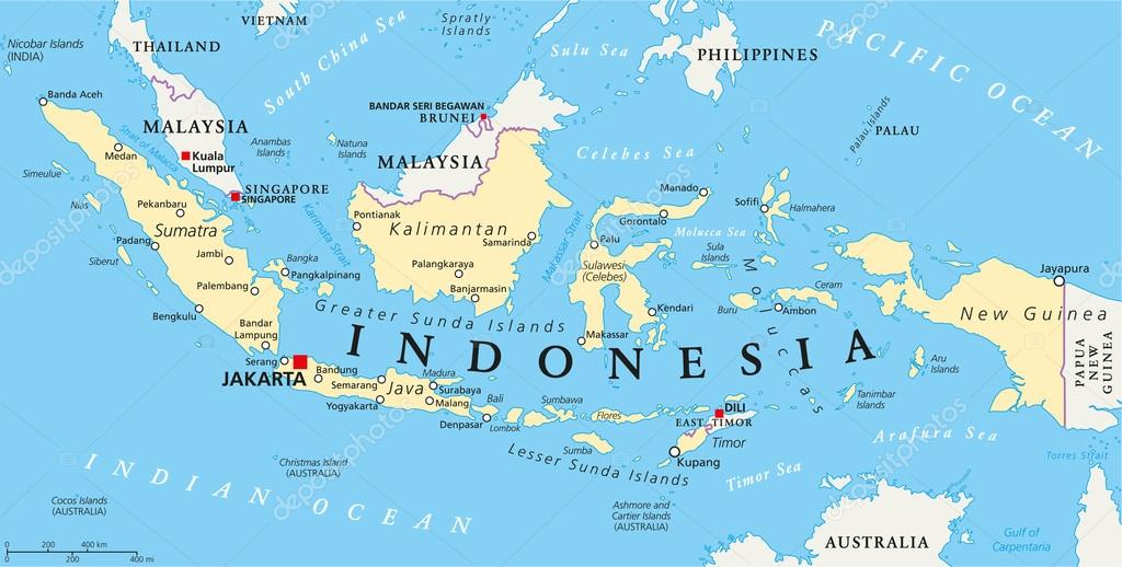
Indonesia Political Map — Stock Vector

Indonesia Political Map — Vector

Indonesia political map with capital Jakarta, national borders and important cities. English labeling and scaling. Illustration.

 — Vector by Furian

Same Series:

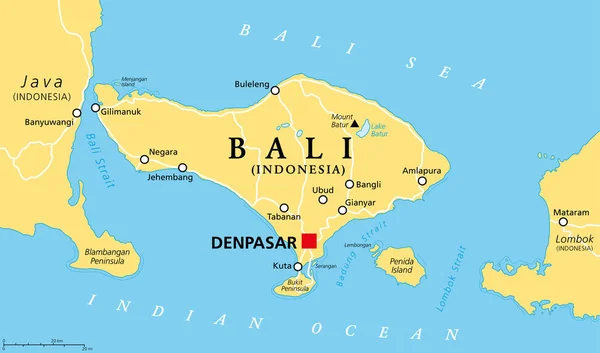
Bali political map, with capital Denpasar. A province and island of Indonesia, westernmost of Lesser Sunda Islands, east of Java, west of Lombok. The only Hindu-majority province in Indonesia. Vector.
Bali Political Map Capital Denpasar Province Island Indonesia Westernmost Lesser — Stock Vector
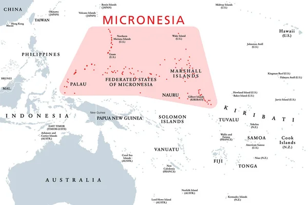
Micronesia, subregion of Oceania, political map. Composed of thousands of small islands in western Pacific Ocean next to Polynesia and Melanesia. English. Illustration on white background. Vector.
Micronesia Subregion Oceania Political Map Composed Thousands Small Islands Western — Stock Vector
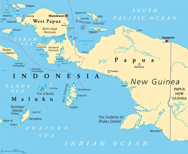
Western New Guinea, political map. Also known as Papua. Western portion of the Melanesian island of New Guinea, administered by Indonesia, with the provinces Papua and West Papua. English labeling.
Western New Guinea Political Map Also Known Papua Western Portion — Stock Vector
Western New Guinea, gray political map. Also Papua, is a Western portion of the Melanesian island of New Guinea, administered by Indonesia, with the provinces Papua and West Papua. English labeling.
Western New Guinea Gray Political Map Also Papua Western Portion — Stock Vector
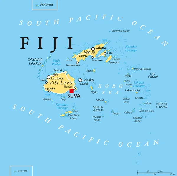
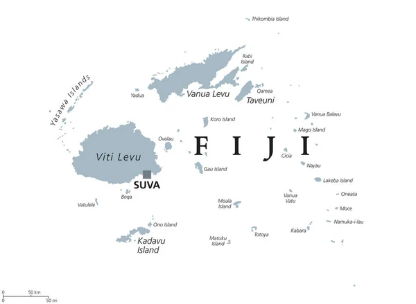
Fiji political map with capital Suva, islands, important cities and reefs. English labeling and scaling. Illustration.
Fiji Political Map — Stock Vector
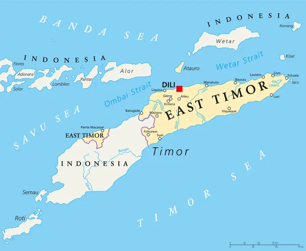
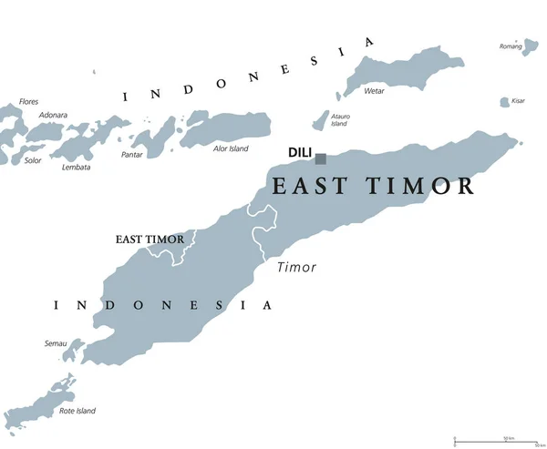
East Timor political map with capital Dili, national borders, important cities and rivers. Also known as Timor Leste, a sovereign state in Southeast Asia bordered to Indonesia. English labeling.
East Timor Political Map — Stock Vector
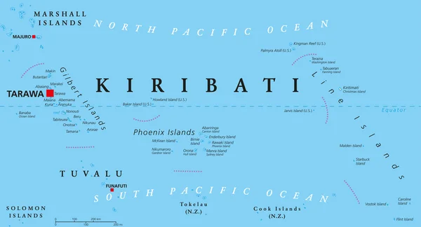
Kiribati political map with capital Tarawa. Republic and island nation in central Pacific Ocean. Archipelago with three main groups, Gilbert, Phoenix and Line Islands. English labeling. Illustration.
Kiribati Political Map — Stock Vector
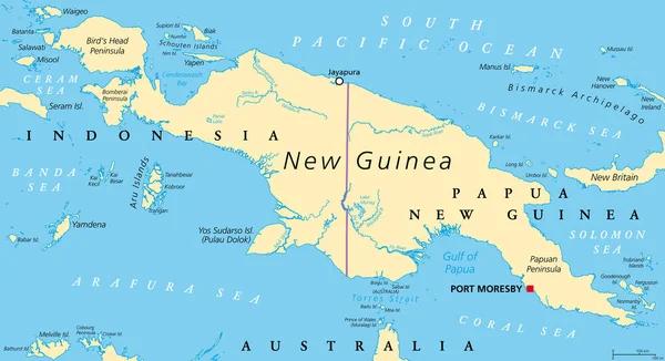
New Guinea, political map. 2nd-largest island of the world located in Oceania in South Pacific Ocean. The eastern half is the major landmass of Papua New Guinea. The western half is part of Indonesia.
New Guinea Political Map 2Nd Largest Island World Located Oceania — Stock Vector
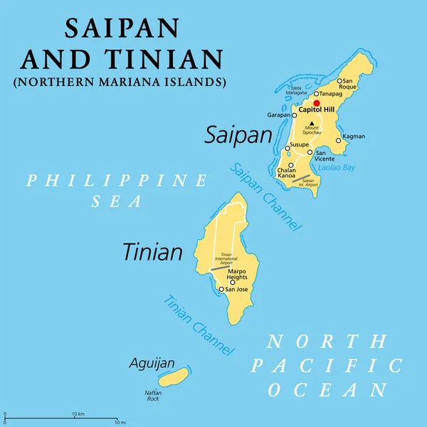
Saipan and Tinian, Northern Mariana Islands, political map. Islands of the Mariana Archipelago. Unincorporated territory and commonwealth of the United States, with administrative center Capitol Hill.
Saipan Tinian Northern Mariana Islands Political Map Islands Mariana Archipelago — Stock Vector
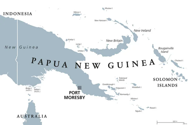
Papua New Guinea political map with capital Port Moresby. English labeling. Independent state on eastern half of island of New Guinea with islands in Melanesia. Gray illustration over white. Vector.
Papua New Guinea political map — Stock Vector
Fiji political map with capital Suva. Republic, archipelago and island country in Melanesia in the South Pacific Ocean. Gray illustration on white background with English labeling. Vector.
Fiji political map — Stock Vector
East Timor or also Timor Leste political map with capital Dili. English labeling. Democratic republic and sovereign state in Maritime Southeast Asia. Gray illustration on white background. Vector.
East Timor or also Timor Leste political map — Stock Vector
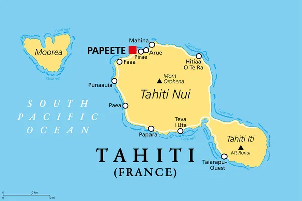
Tahiti, French Polynesia, political map. Largest island of the Windward group of the Society Islands, with capital Papeete. Overseas collectivity of France, located in the South Pacific Ocean. Vector.
Tahiti French Polynesia Political Map Largest Island Windward Group Society — Stock Vector
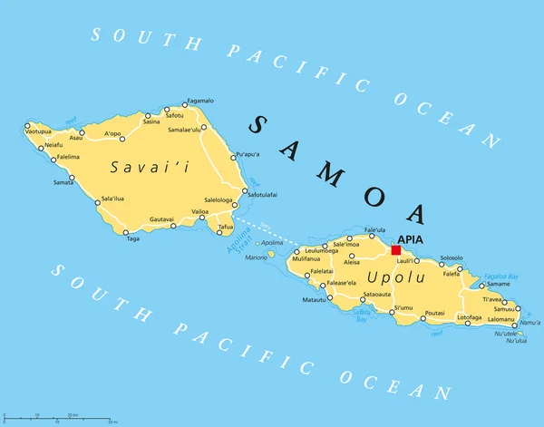
Samoa political map with capital Apia and important places. Formerly known as Western Samoa, part of Samoan Islands, with main islands Savaii and Upolu. English labeling and scaling. Illustration.
Samoa Political Map — Stock Vector
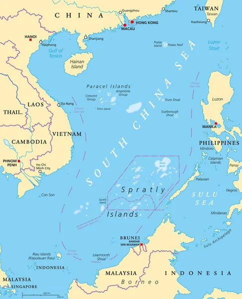
South China Sea Islands, political map. Islands, atolls, cays, shoals, reefs and sandbars. Partially claimed by China and other neighboring states. Paracel and Spratly Islands. Illustration. Vector.
South China Sea Islands Political Map Islands Atolls Cays Shoals — Stock Vector
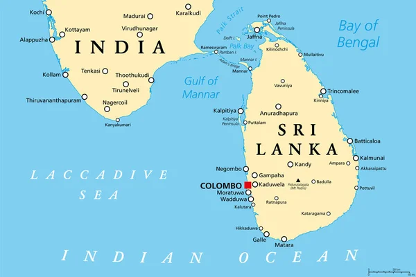
Sri Lanka and part of Southern India, political map. Democratic Socialist Republic of Sri Lanka, formerly known as Ceylon, island country in South Asia and Indian Ocean, with de facto capital Colombo.
Sri Lanka Part Southern India Political Map Democratic Socialist Republic — Stock Vector

Similar Stock Videos:
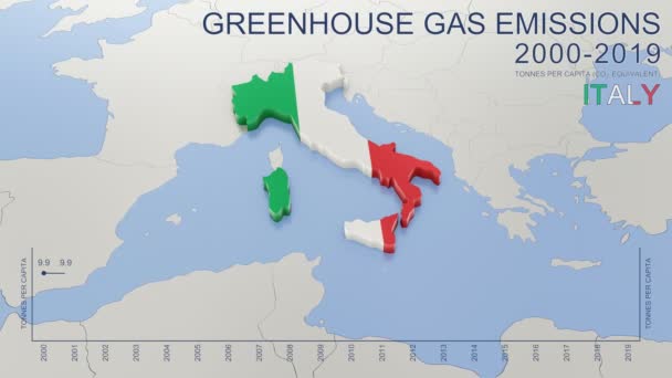
Greenhouse gas emissions in Italy from 2000 to 2019. Values in tonnes per capita (CO2 equivalent). Source data: Eurostat. 3D rendering loop able video with 4K resolution.
Greenhouse Gas Emissions Italy 2000 2019 Values Tonnes Capita Co2 — Stock Video
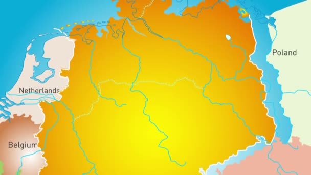
Animated detailed map of Germany country
Animated detailed map of Germany — Stock Video
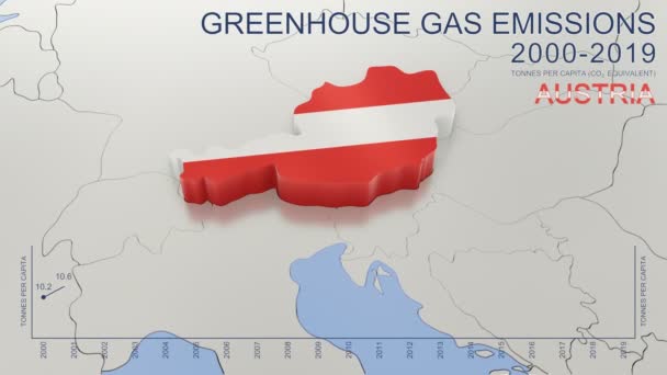
Greenhouse gas emissions in Austria from 2000 to 2019. Values in tonnes per capita (CO2 equivalent). Source data: Eurostat. 3D rendering loop able video with 4K resolution.
Greenhouse Gas Emissions Austria 2000 2019 Values Tonnes Capita Co2 — Stock Video
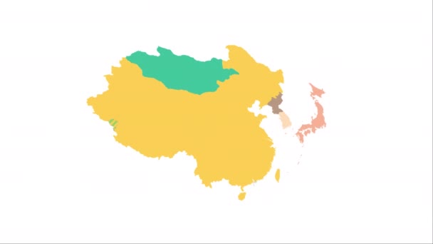
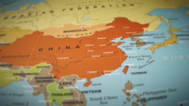
Animation of the map of East Asia region
Animation of the map of East Asia — Stock Video
Brazil on a political map of the world. Video defocuses showing and hiding the map.
Brazil Political Map World Video Defocuses Showing Hiding Map — Stock Video
Blue and dark blue. Map of New York. Zoom from a world map to a map of New York. 4K FHD 60 fps animation.
Blue and dark blue. Map of New York. World map. Map of the USA. Zoom from a world map to a map of New York. Zoom from USA map to New York map. 4K FHD 60 fps animation. — Stock Video
Alaska on a political map of the world. Video defocuses showing and hiding the map.
Alaska Political Map World Video Defocuses Showing Hiding Map — Stock Video
World map 3d cartography China
World Map Cartography China — Stock Video
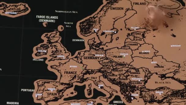
4k quality footage of luxury travel scratch map of blogger with one dollar coin
One dollar coin spin on black scratch travel map of Saudi Arabia, Iraq and Iran — Stock Video
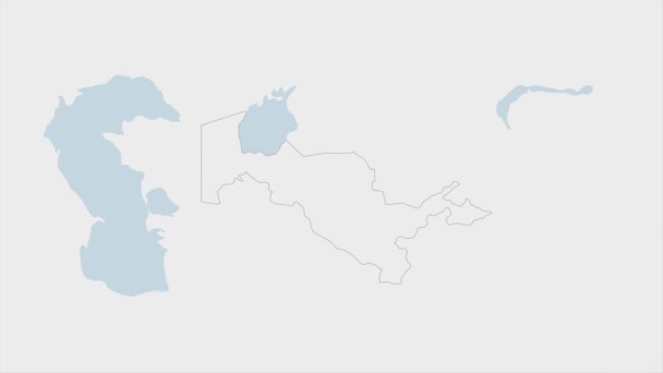
Uzbekistan map highlighted in Uzbekistan flag colors and pin of country capital Tashkent, map with neighboring Asian countries.
Uzbekistan Map Highlighted Uzbekistan Flag Colors Pin Country Capital Tashkent — Stock Video
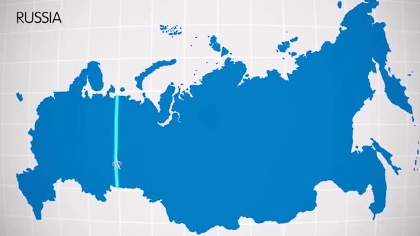
The division of Europe and Asia on the map. the city Ekaterinburg divides Europe and Asia. Eurasia on the map Animation. Eurasia. Yekaterinburg animation HD
The division of Europe and Asia on the map. the city Ekaterinburg divides Europe and Asia. Eurasia on the map Animation. Eurasia. Yekaterinburg animation — Stock Video
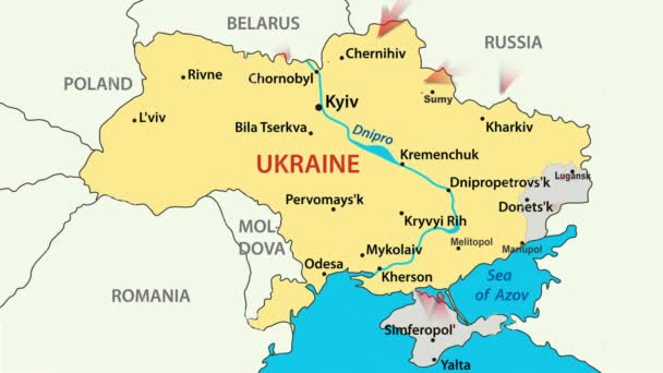
War in Ukraine. Russia attacked Ukraine February 24, 2022. Animated map of Russia invasion of Ukraine, the movement of troops. Ukrainians are fighting for their freedom and democracy
War in Ukraine — Stock Video
War in Ukraine. Russia attacked Ukraine February 24, 2022. Animated map of Russia invasion of Ukraine, the movement of troops. Ukrainians are fighting for their freedom and democracy
War in Ukraine — Stock Video
4k quality footage of luxury travel scratch map of blogger with one dollar coin
One dollar coin spinning on black scratch travel map of Europe, EU — Stock Video
World Map Flight Over Background/ 4k animation of a multicolored world map travel background flight over with ocean, countries and cities names
World Map Flight Background Animation Multicolored World Map Travel Background — Stock Video
Digital animation of a white Fin sign appearing in the screen with a background of a brown world map 4k
Digital Animation White Fin Sign Appearing Screen Background Brown World — Stock Video
4k quality footage of luxury travel scratch map of blogger with one dollar coin
Vintage one dollar coin on black scratch travel map of Europe, EU — Stock Video
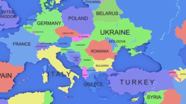
European union countries and Ukraine, Russia and Belarus.
European Union Countries Ukraine Russia Belarus — Stock Video

Usage Information

You can use this royalty-free vector image "Indonesia Political Map" for personal and commercial purposes according to the Standard or Extended License. The Standard License covers most use cases, including advertising, UI designs, and product packaging, and allows up to 500,000 print copies. The Extended License permits all use cases under the Standard License with unlimited print rights and allows you to use the downloaded vector files for merchandise, product resale, or free distribution.

This stock vector image is scalable to any size. You can buy and download it in high resolution up to 9000x4554. Upload Date: Sep 10, 2015