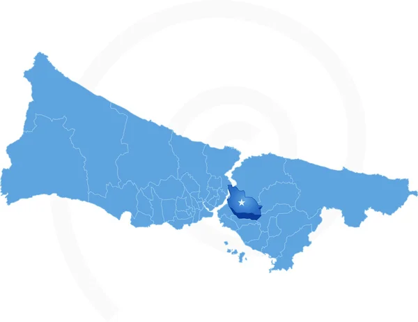
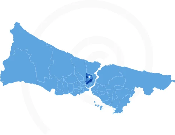
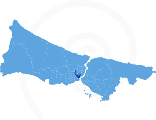
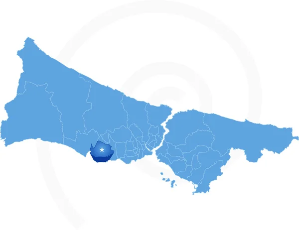
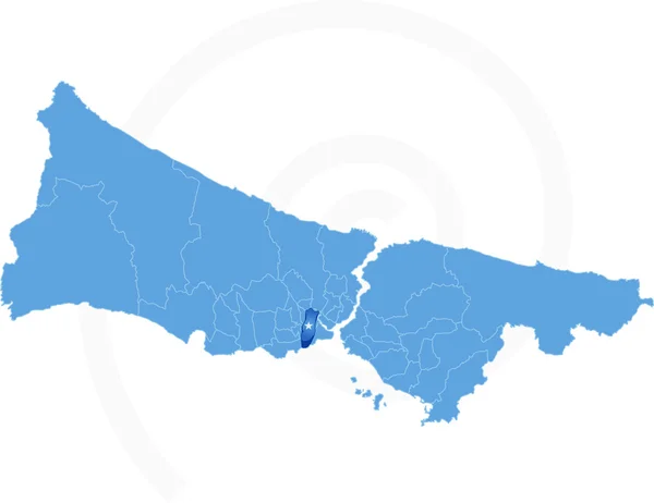
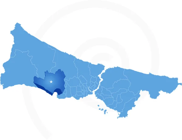
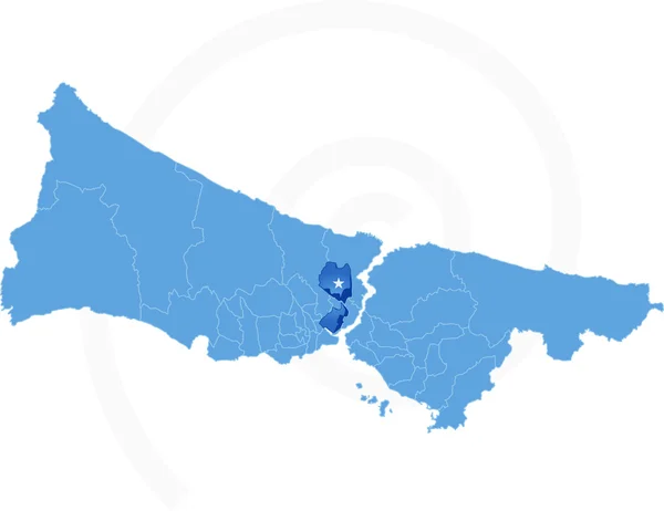
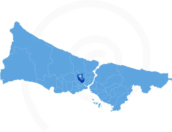
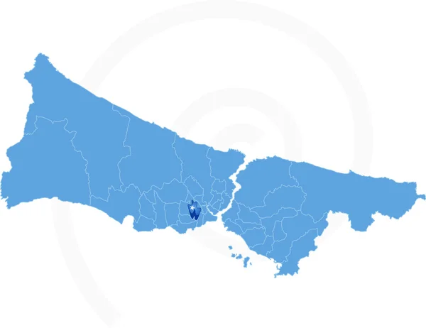
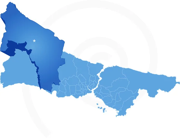
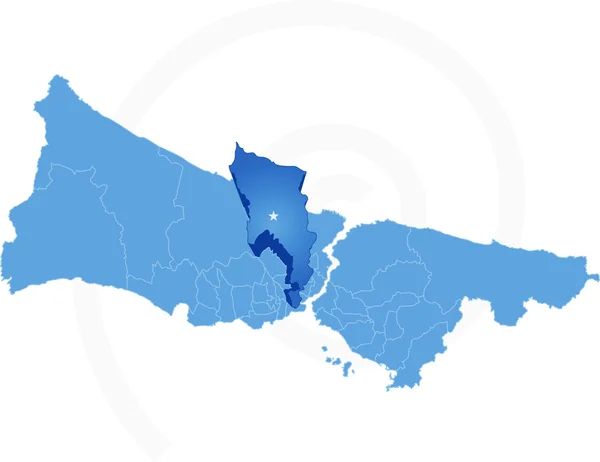
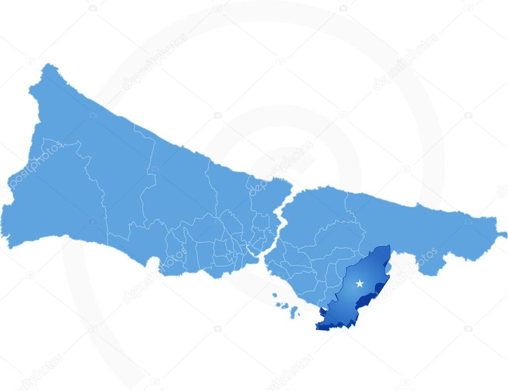
Istanbul Map with administrative districts where Tuzla is pulled — Stock Vector

Istanbul Map with administrative districts where Tuzla is pulled — Vector

Vector Image - Istanbul Map with administrative districts where Tuzla is pulled isolated on white backgroun

 — Vector by Istanbul2009

Same Series:

Istanbul Map with administrative districts where Umraniye is pulle
Istanbul Map with administrative districts where Umraniye is pul — Stock Vector
Vector Image - Istanbul Map with administrative districts where Kagithane is pulled isolated on white backgroun
Istanbul Map with administrative districts where Kagithane is pu — Stock Vector
Vector Image - Istanbul Map with administrative districts where Sultanbeyli is pulled isolated on white backgroun
Istanbul Map with administrative districts where Sultanbeyli is — Stock Vector
Vector Image - Istanbul Map with administrative districts where Beyoglu is pulled isolated on white backgroun
Istanbul Map with administrative districts where Beyoglu is pull — Stock Vector
Vector Image - Map of Istanbul with each administrative district where Beylikduzu is pulled out isolated on white backgroun
Map of Istanbul with each administrative district where Beylikdu — Stock Vector
Vector Image - Istanbul Map with administrative districts where Maltepe is pulled isolated on white backgroun
Istanbul Map with administrative districts where Maltepe is pull — Stock Vector
Vector Image - Istanbul Map with administrative districts where Zeytinburnu is pulled isolated on white backgroun
Istanbul Map with administrative districts where Zeytinburnu is — Stock Vector
Vector Image - Istanbul Map with administrative districts where Buyukcekmece is pulled isolated on white backgroun
Istanbul Map with administrative districts where Buyukcekmece is — Stock Vector
Vector Image - Istanbul Map with administrative districts where Sariyer is pulled isolated on white backgroun
Istanbul Map with administrative districts where Sariyer is pull — Stock Vector
Vector Image - Istanbul Map with administrative districts where Sisli is pulled isolated on white backgroun
Istanbul Map with administrative districts where Sisli is pulled — Stock Vector
Vector Image - Istanbul Map with administrative districts where Gaziosmanpasa is pulled isolated on white backgroun
Istanbul Map with administrative districts where Gaziosmanpasa i — Stock Vector
Vector Image - Istanbul Map with administrative districts where Gungoren is pulled isolated on white backgroun
Istanbul Map with administrative districts where Gungoren is pul — Stock Vector
Vector Image - Istanbul Map with administrative districts where Catalca is pulled isolated on white backgroun
Istanbul Map with administrative districts where Catalca is pull — Stock Vector
Vector Image - Map of Istanbul with each administrative district where Bahcelievler is pulled out isolated on white backgroun
Map of Istanbul with each administrative district where Bahcelie — Stock Vector
Vector Image - Map of Istanbul with each administrative district where Bagcilar is pulled out isolated on white backgroun
Map of Istanbul with each administrative district where Bagcilar — Stock Vector
Vector Image - Istanbul Map with administrative districts where Eyup is pulled isolated on white backgroun
Istanbul Map with administrative districts where Eyup is pulled — Stock Vector

Similar Stock Videos:

Uzbekistan map highlighted in Uzbekistan flag colors and pin of country capital Tashkent, map with neighboring Asian countries.
Uzbekistan Map Highlighted Uzbekistan Flag Colors Pin Country Capital Tashkent — Stock Video
India map highlighted in India flag colors and pin of country capital New Delhi, map with neighboring Asian countries.
India Map Highlighted India Flag Colors Pin Country Capital New — Stock Video
Animated detailed map of Germany country
Animated detailed map of Germany — Stock Video
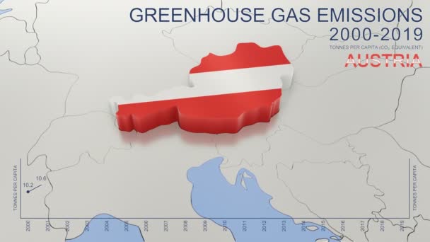
Greenhouse gas emissions in Austria from 2000 to 2019. Values in tonnes per capita (CO2 equivalent). Source data: Eurostat. 3D rendering loop able video with 4K resolution.
Greenhouse Gas Emissions Austria 2000 2019 Values Tonnes Capita Co2 — Stock Video
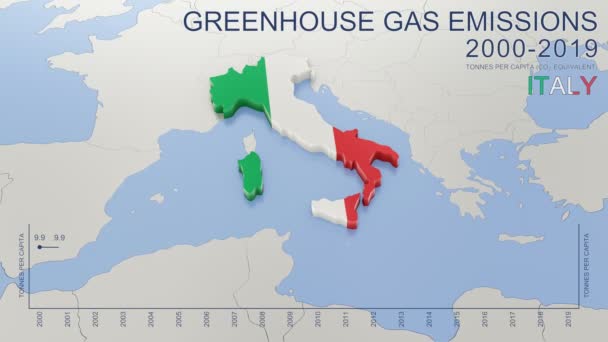
Greenhouse gas emissions in Italy from 2000 to 2019. Values in tonnes per capita (CO2 equivalent). Source data: Eurostat. 3D rendering loop able video with 4K resolution.
Greenhouse Gas Emissions Italy 2000 2019 Values Tonnes Capita Co2 — Stock Video
Austria map highlighted in Austria flag colors and pin of country capital Vienna, map with neighboring European countries.
Austria Map Highlighted Austria Flag Colors Pin Country Capital Vienna — Stock Video
Congo map highlighted in Congo flag colors and pin of country capital Kinshasa, map with neighboring African countries.
Congo Map Highlighted Congo Flag Colors Pin Country Capital Kinshasa — Stock Video
Moldova map highlighted in Moldova flag colors and pin of country capital Chisinau, map with neighboring European countries.
Moldova Map Highlighted Moldova Flag Colors Pin Country Capital Chisinau — Stock Video
Slovenia map highlighted in Slovenia flag colors and pin of country capital Ljubljana, map with neighboring European countries.
Slovenia Map Highlighted Slovenia Flag Colors Pin Country Capital Ljubljana — Stock Video
Africa Map Showing Up Intro By Regions/ 4k animated africa map intro background with countries appearing and fading one by one and camera movement
Africa Map Showing Intro Regions Animated Africa Map Intro Background — Stock Video
Burundi map highlighted in Burundi flag colors and pin of country capital Gitega, map with neighboring African countries.
Burundi Map Highlighted Burundi Flag Colors Pin Country Capital Gitega — Stock Video
Brazil Map Showing Up Intro By States/ 4k animated brazilian map intro background with states appearing and fading one by one and camera movement
Brazil Map Showing Intro States Animated Brazilian Map Intro Background — Stock Video
North Macedonia map highlighted in Macedonia flag colors and pin of country capital Skopje, map with neighboring European countries.
North Macedonia Map Highlighted Macedonia Flag Colors Pin Country Capital — Stock Video
Spain Map Showing Up Intro With New Regions/ 4k animated spain country map intro background with administrative regions appearing and fading one by one and camera movement
Spain Map Showing Intro New Regions Animated Spain Country Map — Stock Video
Myanmar map highlighted in Myanmar flag colors and pin of country capital Naypyitaw, map with neighboring Asian countries.
Myanmar Map Highlighted Myanmar Flag Colors Pin Country Capital Naypyitaw — Stock Video
Colombia map highlighted in Colombia flag colors and pin of country capital Bogota, map with neighboring American countries.
Colombia Map Highlighted Colombia Flag Colors Pin Country Capital Bogota — Stock Video
Macedonia animated map on white background, Macedonia Map Outline on White, 4k motion design
Macedonia animated map on white background, Macedonia Map Outline on White, 4k motion — Stock Video
Central African Republic map highlighted in CAR flag colors and pin of country capital Bangui, map with neighboring African countries.
Central African Republic Map Highlighted Car Flag Colors Pin Country — Stock Video

Usage Information

You can use this royalty-free vector image "Istanbul Map with administrative districts where Tuzla is pulled" for personal and commercial purposes according to the Standard or Extended License. The Standard License covers most use cases, including advertising, UI designs, and product packaging, and allows up to 500,000 print copies. The Extended License permits all use cases under the Standard License with unlimited print rights and allows you to use the downloaded vector files for merchandise, product resale, or free distribution.

This stock vector image is scalable to any size. You can buy and download it in high resolution up to 6009x4629. Upload Date: Apr 26, 2015