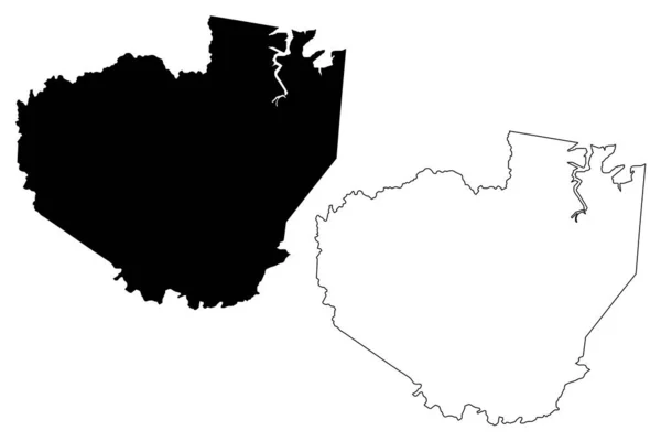
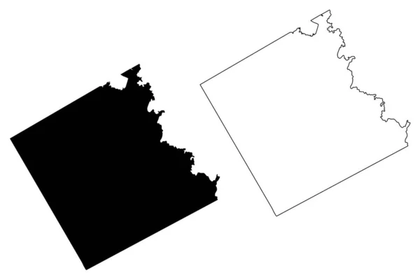
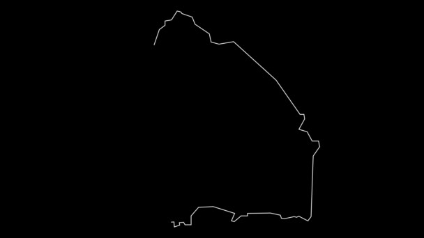
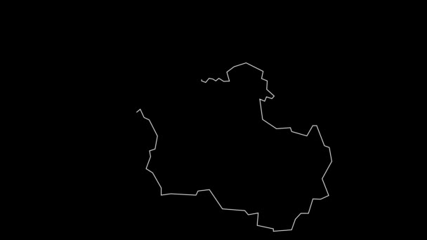
Karas Region (Regions of Namibia, Republic of Namibia) map vector illustration, scribble sketch Karas map — Stock Vector

Karas Region (Regions of Namibia, Republic of Namibia) map vector illustration, scribble sketch Karas map — Vector

Karas Region (Regions of Namibia, Republic of Namibia) map vector illustration, scribble sketch Karas map

 — Vector by Danler

Same Series:

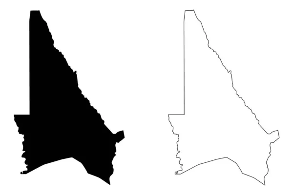
Western Province (Provinces of Zambia, Republic of Zambia) map vector illustration, scribble sketch Barotseland map
Western Province (Provinces of Zambia, Republic of Zambia) map vector illustration, scribble sketch Barotseland ma — Stock Vector
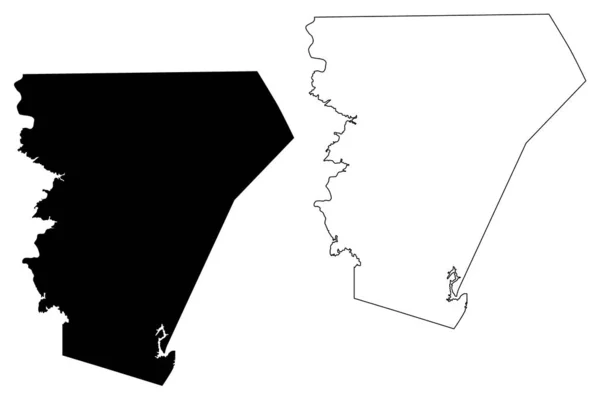
Burnet County, Texas (Counties in Texas, United States of America,USA, U.S., US) map vector illustration, scribble sketch Burnet map
Burnet County, Texas map vector — Stock Vector
Clark County, State of Washington (U.S. county, United States of America, USA, U.S., US) map vector illustration, scribble sketch Clark map
Clark County State Washington County United States America Usa Map — Stock Vector
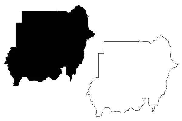
North Sudan map vector illustration, scribble sketch Republic of the Sudan
Sudan map vector — Stock Vector
Kouffo Department (Departments of Benin, Republic of Benin, Dahomey) map vector illustration, scribble sketch Kouffo map
Kouffo Department (Departments of Benin, Republic of Benin, Dahomey) map vector illustration, scribble sketch Kouffo map — Stock Vector
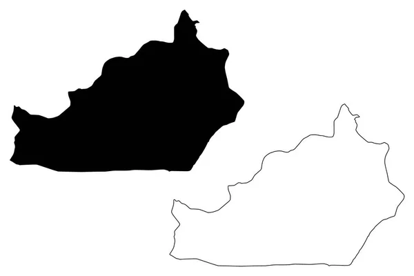
Semnan Province (Provinces of Iran, Islamic Republic of Iran, Persia) map vector illustration, scribble sketch Semnan map
Semnan Province Provinces Iran Islamic Republic Iran Persia Map Vector — Stock Vector
Menifee County, Kentucky (U.S. county, United States of America, USA, U.S., US) map vector illustration, scribble sketch Menifee map
Menifee County Kentucky County United States America Usa Map Vector — Stock Vector
Scott County, Iowa (U.S. county, United States of America, USA, U.S., US) map vector illustration, scribble sketch Scott map
Scott County Iowa County United States America Usa Map Vector — Stock Vector
Plateaux Region (Togolese Republic, Regions of Togo) map vector illustration, scribble sketch Plateaux map
Plateaux Region (Togolese Republic, Regions of Togo) map vector illustration, scribble sketch Plateaux map — Stock Vector
Wilkinson County, Georgia (U.S. county, United States of America, USA, U.S., US) map vector illustration, scribble sketch Wilkinson map
Wilkinson County Georgia County United States America Usa Map Vector — Stock Vector
New South Wales (Australian states and territories, NSW) map vector illustration, scribble sketch New South Wales map
New South Wales Australian States Territories Nsw Map Vector Illustration — Stock Vector
Sangha Department (Departments of the Republic of the Congo, Congo-Brazzaville, Congo Republic,RotC) map vector illustration, scribble sketch Sangha map
Sangha Department (Departments of the Republic of the Congo, Congo-Brazzaville, Congo Republic,RotC) map vector illustration, scribble sketch Sangha map — Stock Vector
Jufra District (Districts of Libya, State of Libya, Fezzan) map vector illustration, scribble sketch Jofra map
Jufra District (Districts of Libya, State of Libya, Fezzan) map vector illustration, scribble sketch Jofra map — Stock Vector
Yolo County, California (Counties in California, United States of America,USA, U.S., US) map vector illustration, scribble sketch Yolo map
Yolo County, California map vector — Stock Vector
Freestone County, Texas (Counties in Texas, United States of America,USA, U.S., US) map vector illustration, scribble sketch Freestone map
Freestone County, Texas (Counties in Texas, United States of America,USA, U.S., US) map vector illustration, scribble sketch Freestone map — Stock Vector
Enga Province (Independent State of Papua New Guinea, PNG, Provinces of Papua New Guinea) map vector illustration, scribble sketch Enga map
Enga Province (Independent State of Papua New Guinea, PNG, Provinces of Papua New Guinea) map vector illustration, scribble sketch Enga ma — Stock Vector

Usage Information

You can use this royalty-free vector image "Karas Region (Regions of Namibia, Republic of Namibia) map vector illustration, scribble sketch Karas map" for personal and commercial purposes according to the Standard or Extended License. The Standard License covers most use cases, including advertising, UI designs, and product packaging, and allows up to 500,000 print copies. The Extended License permits all use cases under the Standard License with unlimited print rights and allows you to use the downloaded vector files for merchandise, product resale, or free distribution.

This stock vector image is scalable to any size. You can buy and download it in high resolution up to 7087x4726. Upload Date: Dec 21, 2019