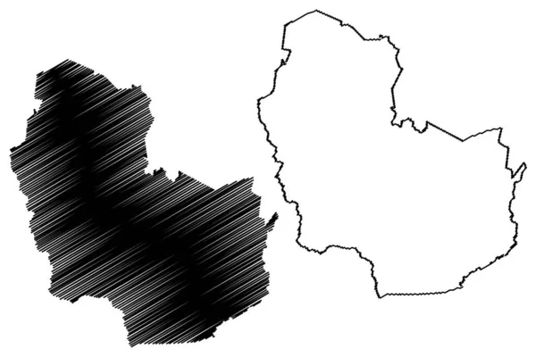
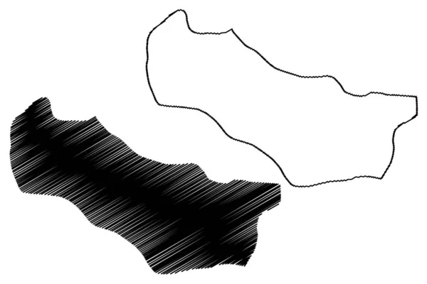
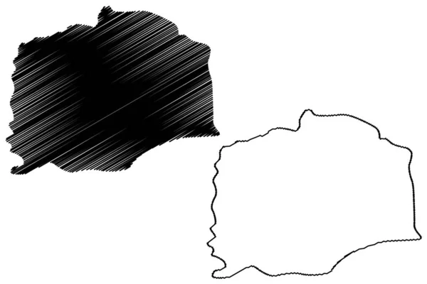
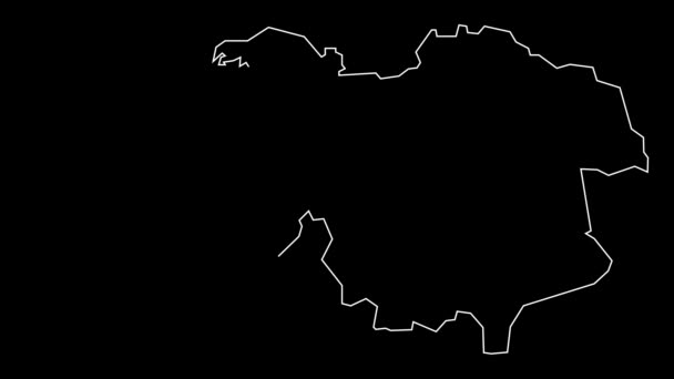
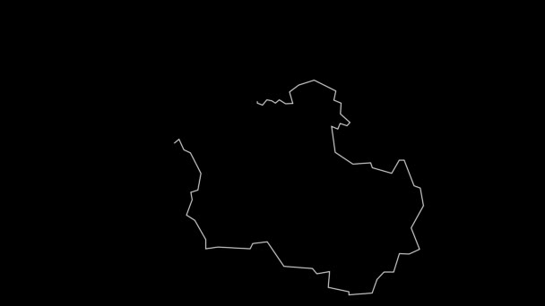
Kinshasa Province Democratic Republic Congo Congo Drc Congo Kinshasa Map — Stock Vector

Kinshasa Province (Democratic Republic of the Congo, DR Congo, DRC, Congo-Kinshasa) map vector illustration, scribble sketch Leopoldville map — Vector

Kinshasa Province (Democratic Republic of the Congo, DR Congo, DRC, Congo-Kinshasa) map vector illustration, scribble sketch Leopoldville map

 — Vector by Danler

Same Series:

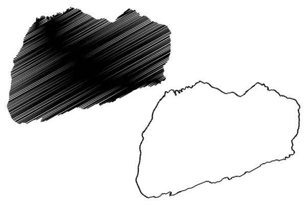
Pueblo Nuevo municipality (Estado Libre y Soberano de Durango, Mexico, United Mexican States) map vector illustration, scribble sketch Pueblo Nuevo map
Pueblo Nuevo Municipality Estado Libre Soberano Durango Mexico United Mexican — Stock Vector
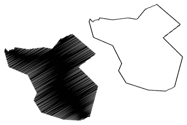
North Seymour island (Republic of Ecuador, Pacific Ocean, Latin or South America, Galapagos Islands, Archipielago de Colon) map vector illustration, scribble sketch Isla Seymour Norte map
North Seymour Island Republic Ecuador Pacific Ocean Latin South America — Stock Vector
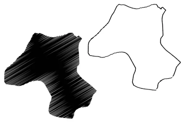
East Azerbaijan Province (Provinces of Iran, Islamic Republic of Iran, Persia) map vector illustration, scribble sketch East Azerbaijan map
East Azerbaijan Province Provinces Iran Islamic Republic Iran Persia Map — Stock Vector
Moka District (Republic of Mauritius, island, Districts of Mauritius) map vector illustration, scribble sketch Moka map
Moka District (Republic of Mauritius, island, Districts of Mauritius) map vector illustration, scribble sketch Moka map — Stock Vector
Esteli Department (Republic of Nicaragua, Departments of Nicaragua) map vector illustration, scribble sketch Esteli (NI-ES) map
Esteli Department (Republic of Nicaragua, Departments of Nicaragua) map vector illustration, scribble sketch Esteli (NI-ES) ma — Stock Vector
Karbinci Municipality (Republic of North Macedonia, Eastern Statistical Region) map vector illustration, scribble sketch Karbinci map
Karbinci Municipality Republic North Macedonia Eastern Statistical Region Map Vector — Stock Vector
Mackenzie King island (Canada, Nunavut Province, North America, Queen Elizabeth Islands) map vector illustration, scribble sketch Mackenzie King map
Mackenzie King Island Canada Nunavut Province North America Queen Elizabeth — Stock Vector
Anjaw district (Arunachal Pradesh State, Republic of India) map vector illustration, scribble sketch Anjaw map
Anjaw District Arunachal Pradesh State Republic India Map Vector Illustration — Stock Vector
Vale of Glamorgan (United Kingdom, Wales, Cymru, Principal areas of Wales) map vector illustration, scribble sketch Vale of Glamorgan County Borough (The Vale) map
Vale of Glamorgan map vecto — Stock Vector
Inverclyde (United Kingdom, Scotland, Local government in Scotland) map vector illustration, scribble sketch Inverclyde map
Inverclyde map vecto — Stock Vector
Bafoussam City (Republic of Cameroon, Mifi Department) map vector illustration, scribble sketch City of Bafoussam map
Bafoussam City Republic Cameroon Mifi Department Map Vector Illustration Scribble — Stock Vector
Rum island (United Kingdom of Great Britain and Northern Ireland, Scotland, Inner Hebrid) map vector illustration, scribble sketch Isle of Rhum map
Rum Island United Kingdom Great Britain Northern Ireland Scotland Inner — Stock Vector
Misrata District (Districts of Libya, State of Libya, Tripolitania) map vector illustration, scribble sketch Misrata map
Misrata District (Districts of Libya, State of Libya, Tripolitania) map vector illustration, scribble sketch Misrata map — Stock Vector
Sonitpur district (Assam State, Republic of India) map vector illustration, scribble sketch Sonitpur map
Sonitpur District Assam State Republic India Map Vector Illustration Scribble — Stock Vector
Mysore City (Republic of India, Karnataka State) map vector illustration, scribble sketch City of Mysuru map
Mysore City Republic India Karnataka State Map Vector Illustration Scribble — Stock Vector
Vanikoro island (Solomon Islands, Pacific Ocean, Santa Cruz Islands) map vector illustration, scribble sketch Banie and Teanu map
Vanikoro Island Solomon Islands Pacific Ocean Santa Cruz Islands Map — Stock Vector

Usage Information

You can use this royalty-free vector image "Kinshasa Province (Democratic Republic of the Congo, DR Congo, DRC, Congo-Kinshasa) map vector illustration, scribble sketch Leopoldville map" for personal and commercial purposes according to the Standard or Extended License. The Standard License covers most use cases, including advertising, UI designs, and product packaging, and allows up to 500,000 print copies. The Extended License permits all use cases under the Standard License with unlimited print rights and allows you to use the downloaded vector files for merchandise, product resale, or free distribution.

This stock vector image is scalable to any size. You can buy and download it in high resolution up to 7087x4726. Upload Date: Jan 31, 2019