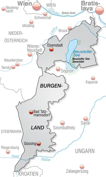
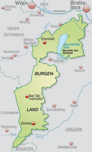
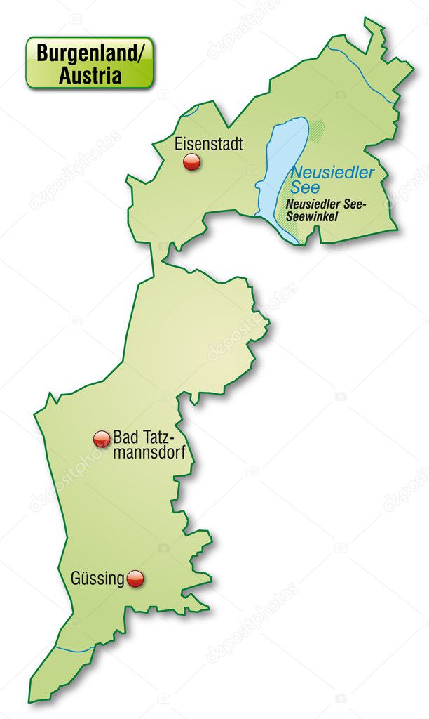
Map of Burgenland — Stock Vector

Map of Burgenland — Vector

Map of Burgenland as an overview map in pastel green

 — Vector by artalis

Similar Stock Videos:

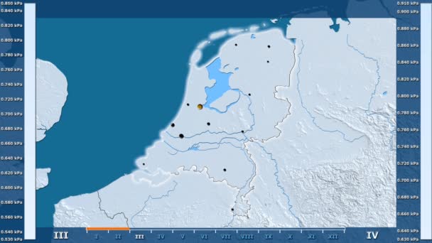
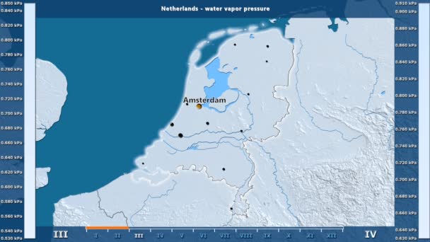
Water vapor pressure by month in the Netherlands area with animated legend - glowing shape, administrative borders, main cities, capital. Stereographic projection
Water Vapor Pressure Month Netherlands Area Animated Legend Glowing Shape — Stock Video
Water vapor pressure by month in the Ireland area with animated legend - English labels: country and capital names, map description. Stereographic projection
Water Vapor Pressure Month Ireland Area Animated Legend English Labels — Stock Video
Solar radiation by month in the Armenia area with animated legend - English labels: country and capital names, map description. Stereographic projection
Solar Radiation Month Armenia Area Animated Legend English Labels Country — Stock Video
Water vapor pressure by month in the Netherlands area with animated legend - English labels: country and capital names, map description. Stereographic projection
Water Vapor Pressure Month Netherlands Area Animated Legend English Labels — Stock Video
Water vapor pressure by month in the Belgium area with animated legend - English labels: country and capital names, map description. Stereographic projection
Water Vapor Pressure Month Belgium Area Animated Legend English Labels — Stock Video
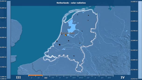
Solar radiation by month in the Netherlands area with animated legend - English labels: country and capital names, map description. Stereographic projection
Solar Radiation Month Netherlands Area Animated Legend English Labels Country — Stock Video
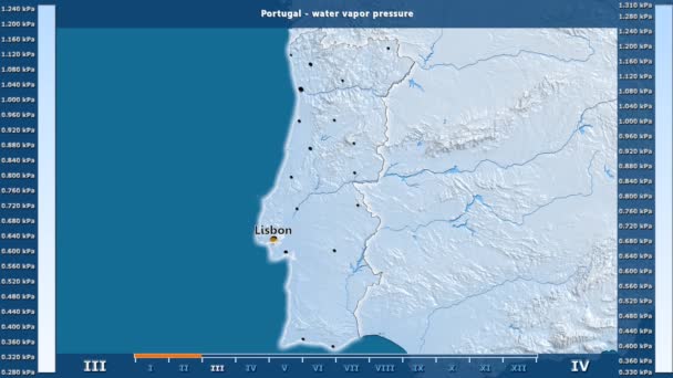
Water vapor pressure by month in the Portugal area with animated legend - English labels: country and capital names, map description. Stereographic projection
Water Vapor Pressure Month Portugal Area Animated Legend English Labels — Stock Video
James Cook. great geographical discoveries. trip around the world
The great world tour - James Cook. — Stock Video
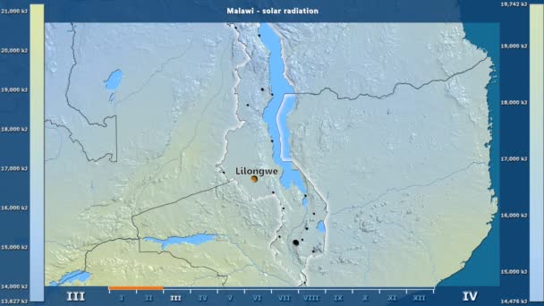
Solar radiation by month in the Malawi area with animated legend - English labels: country and capital names, map description. Stereographic projection
Solar Radiation Month Malawi Area Animated Legend English Labels Country — Stock Video
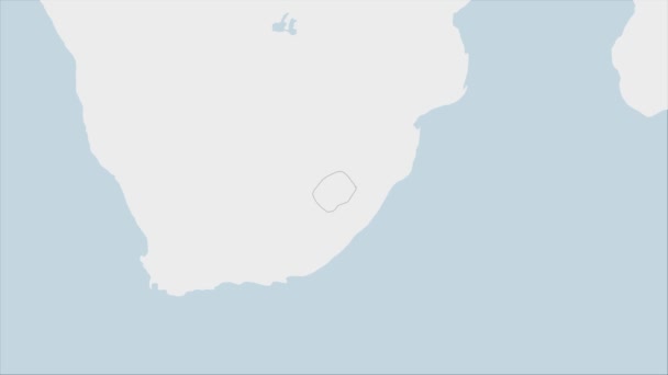
Lesotho map highlighted in Lesotho flag colors and pin of country capital Maseru, map with neighboring African countries.
Lesotho Map Highlighted Lesotho Flag Colors Pin Country Capital Maseru — Stock Video
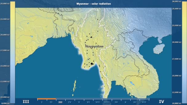
Solar radiation by month in the Myanmar area with animated legend - English labels: country and capital names, map description. Stereographic projection
Solar Radiation Month Myanmar Area Animated Legend English Labels Country — Stock Video
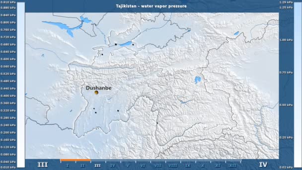
Water vapor pressure by month in the Tajikistan area with animated legend - English labels: country and capital names, map description. Stereographic projection
Water Vapor Pressure Month Tajikistan Area Animated Legend English Labels — Stock Video
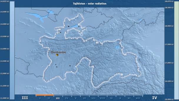
Solar radiation by month in the Tajikistan area with animated legend - English labels: country and capital names, map description. Stereographic projection
Solar Radiation Month Tajikistan Area Animated Legend English Labels Country — Stock Video
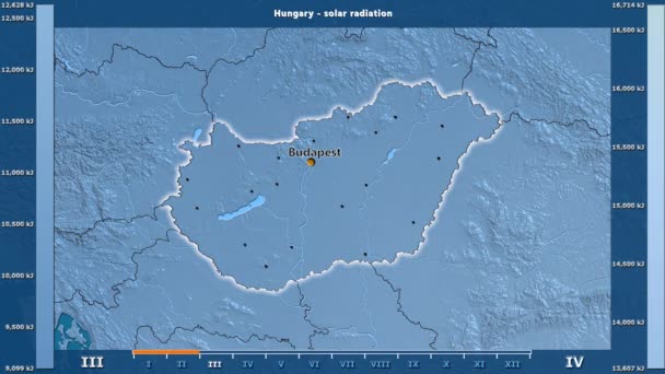
Solar radiation by month in the Hungary area with animated legend - English labels: country and capital names, map description. Stereographic projection
Solar Radiation Month Hungary Area Animated Legend English Labels Country — Stock Video
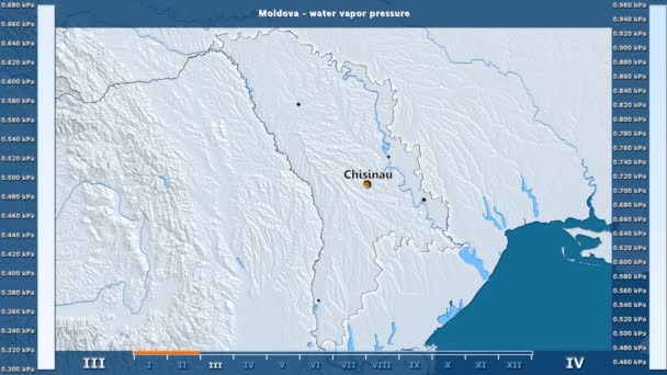
Water vapor pressure by month in the Moldova area with animated legend - English labels: country and capital names, map description. Stereographic projection
Water Vapor Pressure Month Moldova Area Animated Legend English Labels — Stock Video
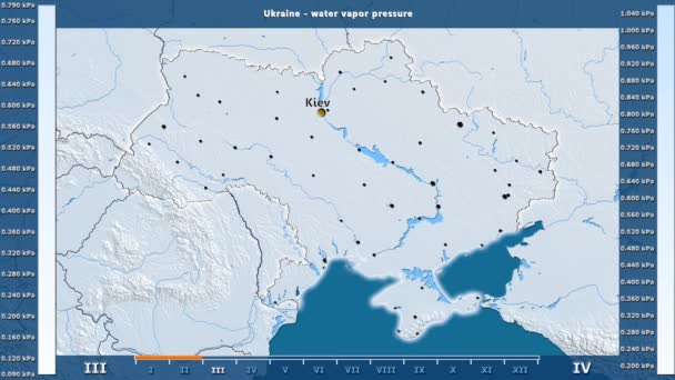
Water vapor pressure by month in the Ukraine area with animated legend - English labels: country and capital names, map description. Stereographic projection
Water Vapor Pressure Month Ukraine Area Animated Legend English Labels — Stock Video
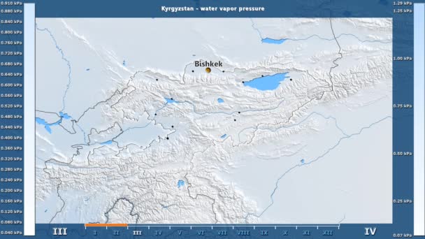
Water vapor pressure by month in the Kyrgyzstan area with animated legend - English labels: country and capital names, map description. Stereographic projection
Water Vapor Pressure Month Kyrgyzstan Area Animated Legend English Labels — Stock Video
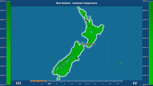
Maximum temperature by month in the New Zealand area with animated legend - English labels: country and capital names, map description. Stereographic projection
Maximum Temperature Month New Zealand Area Animated Legend English Labels — Stock Video

Usage Information

You can use this royalty-free vector image "Map of Burgenland" for personal and commercial purposes according to the Standard or Extended License. The Standard License covers most use cases, including advertising, UI designs, and product packaging, and allows up to 500,000 print copies. The Extended License permits all use cases under the Standard License with unlimited print rights and allows you to use the downloaded vector files for merchandise, product resale, or free distribution.

This stock vector image is scalable to any size. You can buy and download it in high resolution up to 3195x5344. Upload Date: Jan 22, 2014