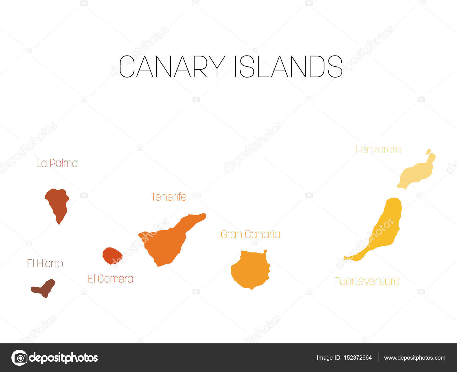
Map of Canary Islands, Spain, with labels of each island - El Hierro, La Palma, La Gomera, Tenerife, Gran Canaria, Fuerteventura and Lanzarote. Vector silhouette on white background — Stock Vector

Map of Canary Islands, Spain, with labels of each island - El Hierro, La Palma, La Gomera, Tenerife, Gran Canaria, Fuerteventura and Lanzarote. Vector silhouette on white background — Vector

Map of Canary Islands, Spain, with labels of each island - El Hierro, La Palma, La Gomera, Tenerife, Gran Canaria, Fuerteventura and Lanzarote. Vector silhouette on white background.

 — Vector by pyty

Same Series:

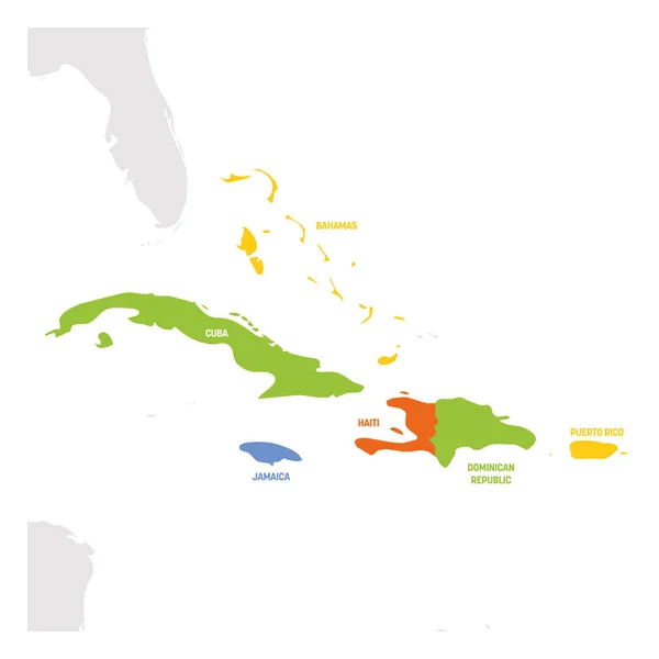
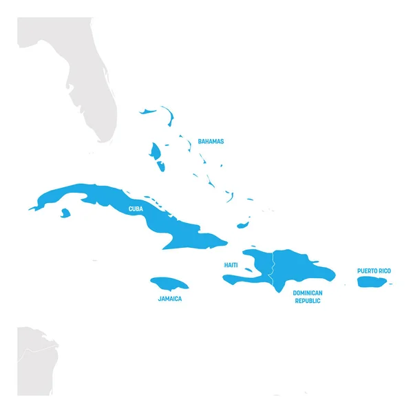
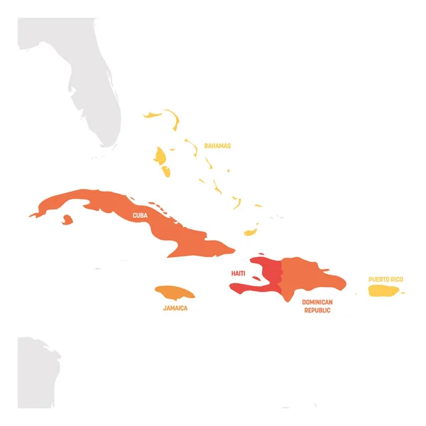
Caribbean Region. Map of countries in Caribbean Sea in Central America. Vector illustration.
Caribbean Region. Map of countries in Caribbean Sea in Central America. Vector illustration — Stock Vector
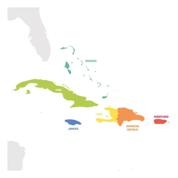
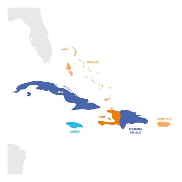
Caribbean Region. Colorful map of countries in Caribbean Sea in Central America. Vector illustration.
Caribbean Region. Colorful map of countries in Caribbean Sea in Central America. Vector illustration — Stock Vector
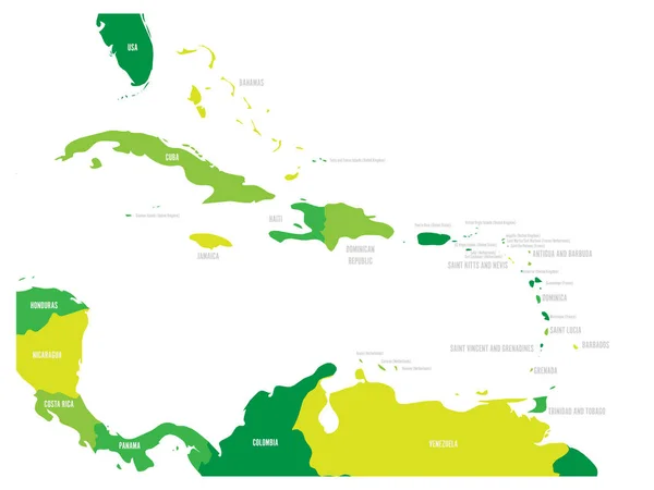
Central America and Caribbean states political map in four shades of green with black country names labels. Simple flat vector illustration.
Central America and Caribbean states political map in four shades of green with black country names labels. Simple flat vector illustration — Stock Vector
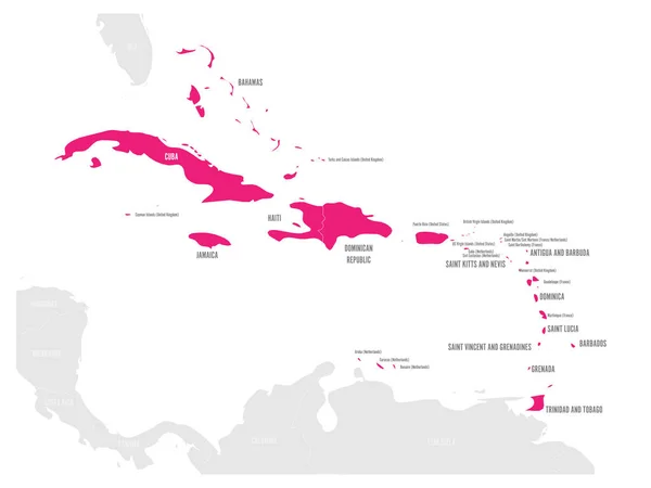
Political map of Carribean. Pink highlighted states and dependent territories. Simple flat vector illustration.
Political map of Carribean. Pink highlighted states and dependent territories. Simple flat vector illustration — Stock Vector
Caribbean Region. Map of countries in Caribbean Sea in Central America. Vector illustration.
Caribbean Region. Map of countries in Caribbean Sea in Central America. Vector illustration — Stock Vector
Caribbean Region. Map of countries in Caribbean Sea in Central America. Vector illustration.
Caribbean Region. Map of countries in Caribbean Sea in Central America. Vector illustration — Stock Vector
Political map of Carribean. Green highlighted states and dependent territories. Simple flat vector illustration.
Political map of Carribean. Green highlighted states and dependent territories. Simple flat vector illustration — Stock Vector
Political map of Carribean. Pink highlighted sovereign states and blue dependent territories. Simple flat vector illustration.
Political map of Carribean. Pink highlighted sovereign states and blue dependent territories. Simple flat vector illustration — Stock Vector
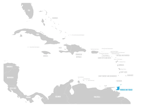
Political map of Carribean. Blue highlighted states and dependent territories. Simple flat vector illustration.
Political map of Carribean. Blue highlighted states and dependent territories. Simple flat vector illustration — Stock Vector
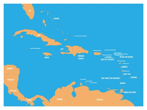
Central America and Carribean states political map. Yellow land with black country names labels on blue sea background. Simple flat vector illustration.
Central America and Carribean states political map. Yellow land with black country names labels on blue sea background. Simple flat vector illustration — Stock Vector
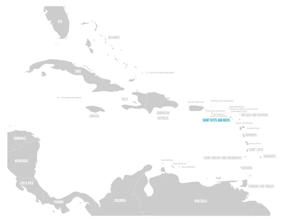
Saint Kitts and Nevis blue marked in the map of Caribbean. Vector illustration.
Saint Kitts and Nevis blue marked in the map of Caribbean. Vector illustration — Stock Vector
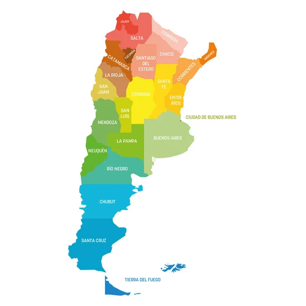
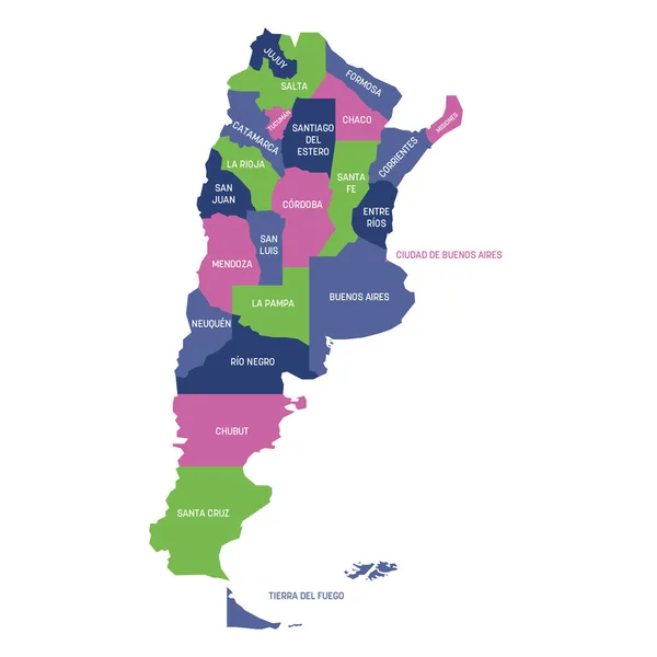
Colorful political map of Argentina. Administrative divisions - provinces. Simple flat vector map with labels.
Argentina - map of provinces — Stock Vector
Caribbean Region. Map of countries in Caribbean Sea in Central America. Vector illustration.
Caribbean Region. Map of countries in Caribbean Sea in Central America. Vector illustration — Stock Vector
Bahamas blue marked in the map of Caribbean. Vector illustration.
Bahamas blue marked in the map of Caribbean. Vector illustration — Stock Vector
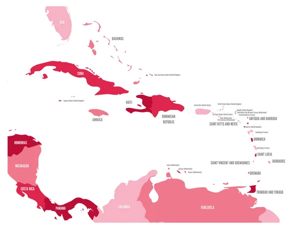
Central America and Caribbean states political map in four shades of maroon with black country names labels. Simple flat vector illustration.
Central America and Caribbean states political map in four shades of maroon with black country names labels. Simple flat vector illustration — Stock Vector
Colorful political map of Argentina. Administrative divisions - provinces. Simple flat vector map with labels.
Argentina - map of provinces — Stock Vector

Similar Stock Videos:

Watercolor animated map showing the state of Florida from the united state of American. 2d map of Florida. 4k Motion graphics.
Watercolor animated map showing the state of Florida from the united state of American. 2d map of Florida. — Stock Video
Arkansas city map outline animation. Motion graphics
Arkansas city map outline animation. Motion graphics. — Stock Video
Line animated map showing the state of Italy from the united state of america. 2d map of Italy. 4k
Line animated map showing the state of Italy from the united state of america. 2d map of Italy. — Stock Video
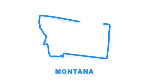
Montana city map outline animation. Motion graphics
Montana city map outline animation. Motion graphics. — Stock Video
Brush animated map showing the state of Kentucky from the united state of america. 2d map of Kentucky. 4k
Brush animated map showing the state of Kentucky from the united state of america. 2d map of Kentucky. — Stock Video
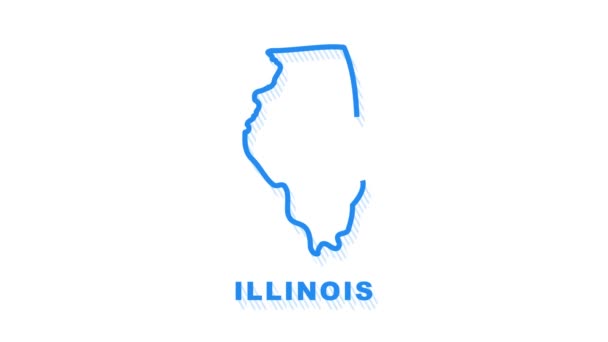
Line animated map showing the state of Illinois from the united state of america. Motion graphics
Line animated map showing the state of Illinois from the united state of america. Motion graphics. — Stock Video
Line animated map showing the state of Thailand. 2d map of Thailand. 4k
Line animated map showing the state of Thailand. 2d map of Thailand. — Stock Video
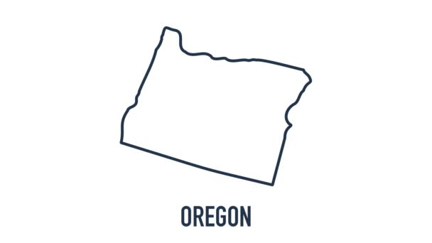
Line animated map showing the state of Oregon from the united state of American. 2d map of Oregon. 4k Motion graphics.
Line animated map showing the state of Oregon from the united state of American. 2d map of Oregon. — Stock Video
France Map Showing Up Intro By Regions 4k animated France map intro background with countries appearing and fading one by one and camera movement.
France Map Showing Up Intro By Regions 4k animated France map intro background with countries appearing and fading one by one and camera movement — Stock Video
Line animated map showing the state of Turkey from the united state of america. 2d map of Turkey.
Line animated map showing the state of Turkey from the united state of america. 2d map of Turkey. 4k — Stock Video
2d animated map showing the state of Washington from the united state of america. 2d map of Washington. 4k
2d animated map showing the state of Washington from the united state of america. 2d map of Washington. — Stock Video
2d animated map showing the state of Iowa from the united state of america. 2d map of Iowa. 4k
2d animated map showing the state of Iowa from the united state of america. 2d map of Iowa. — Stock Video
Missouri county map outline animation. Motion graphics
Missouri county map outline animation. Motion graphics. — Stock Video
Line animated map showing the state of washington from the united state of america. 2d map of washington. 4k
Line animated map showing the state of washington from the united state of america. 2d map of washington. — Stock Video
Line animated map showing the state of California from the united state of america. Motion graphics
Line animated map showing the state of California from the united state of america. Motion graphics. — Stock Video
Line animated map showing the state of south Carolina from the united state of American. 2d map of south Carolina. 4k Motion graphics.
Line animated map showing the state of south Carolina from the united state of American. 2d map of south Carolina. — Stock Video
Line animated map showing the state of Maine from the united state of america. 2d map of Maine. 4k
Line animated map showing the state of Maine from the united state of america. 2d map of Maine. — Stock Video
3d animated flat map showing the state of Michigan from the United State of America on white background. USA. Rotating map of Michigan with shadow. USA. 4k video
3d animated flat map showing the state of Michigan from the United State of America on white background. USA. Rotating map of Michigan with shadow. USA. 4k — Stock Video

Usage Information

You can use this royalty-free vector image "Map of Canary Islands, Spain, with labels of each island - El Hierro, La Palma, La Gomera, Tenerife, Gran Canaria, Fuerteventura and Lanzarote. Vector silhouette on white background" for personal and commercial purposes according to the Standard or Extended License. The Standard License covers most use cases, including advertising, UI designs, and product packaging, and allows up to 500,000 print copies. The Extended License permits all use cases under the Standard License with unlimited print rights and allows you to use the downloaded vector files for merchandise, product resale, or free distribution.

This stock vector image is scalable to any size. You can buy and download it in high resolution up to 4800x3600. Upload Date: May 6, 2017