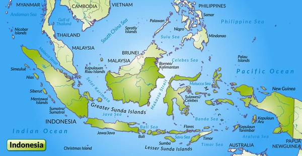
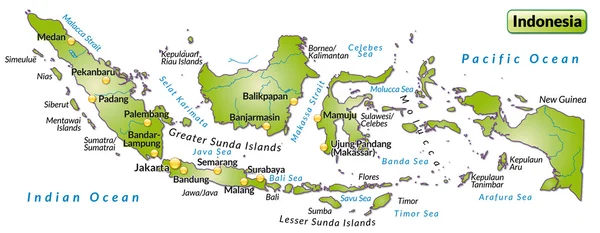
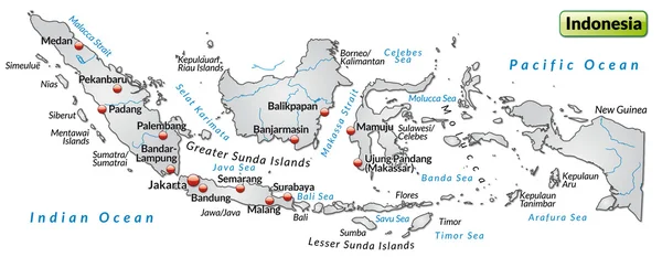
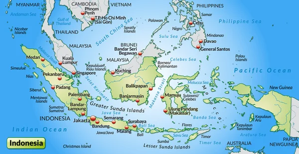
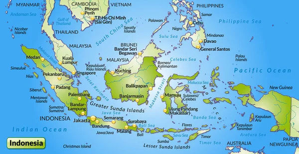
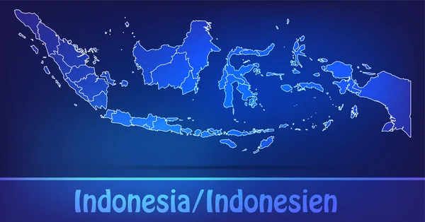
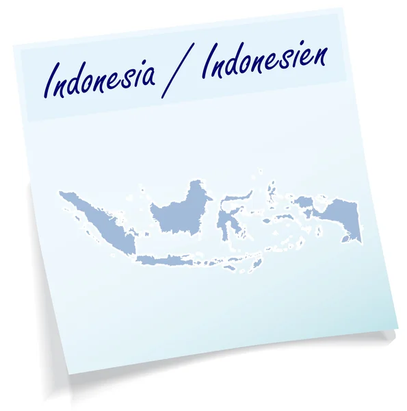
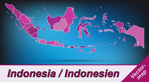
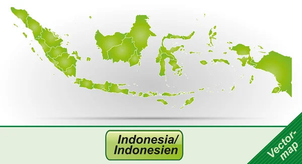
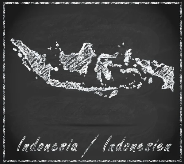
Map of Indonesia with borders in blue — Stock Vector

Map of Indonesia with borders in blue — Vector

Map of Indonesia with borders in blue

 — Vector by artalis

Similar Stock Videos:
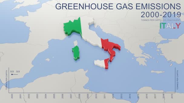
Greenhouse gas emissions in Italy from 2000 to 2019. Values in tonnes per capita (CO2 equivalent). Source data: Eurostat. 3D rendering loop able video with 4K resolution.
Greenhouse Gas Emissions Italy 2000 2019 Values Tonnes Capita Co2 — Stock Video
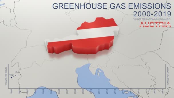
Greenhouse gas emissions in Austria from 2000 to 2019. Values in tonnes per capita (CO2 equivalent). Source data: Eurostat. 3D rendering loop able video with 4K resolution.
Greenhouse Gas Emissions Austria 2000 2019 Values Tonnes Capita Co2 — Stock Video
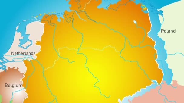
Animated detailed map of Germany country
Animated detailed map of Germany — Stock Video
Thank You Word Cloud in vector format.(multi language translation: Thank you)
Thank You Word Cloud Vector Format Multi Language Translation Thank — Stock Video
Greenhouse gas emissions in France from 2000 to 2019. Values in tonnes per capita (CO2 equivalent). Source data: Eurostat. 3D rendering loop able video with 4K resolution.
Greenhouse Gas Emissions France 2000 2019 Values Tonnes Capita Co2 — Stock Video
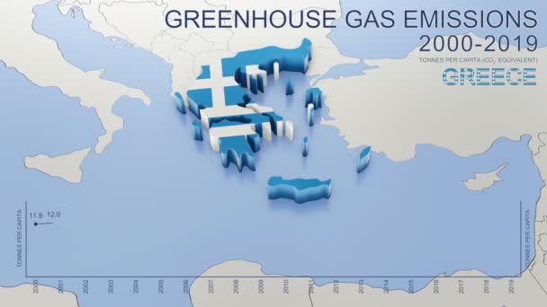
Greenhouse gas emissions in Greece from 2000 to 2019. Values in tonnes per capita (CO2 equivalent). Source data: Eurostat. 3D rendering loop able video with 4K resolution.
Greenhouse Gas Emissions Greece 2000 2019 Values Tonnes Capita Co2 — Stock Video
Kentucky State of USA. Animated map of USA showing the state of Kentucky. United States of America. Neumorphism minimal style.
Kentucky State of USA. Animated map of USA showing the state of Kentucky. United States of America. Neumorphism minimal style — Stock Video
Abstract line animation New York State of USA on hexagon style. New York state. United States of America. Outline map of New York federal state highlighted from map of USA.
Abstract line animation New York State of USA on hexagon style. New York state. United States of America. Outline map of New York federal state highlighted from map of USA — Stock Video
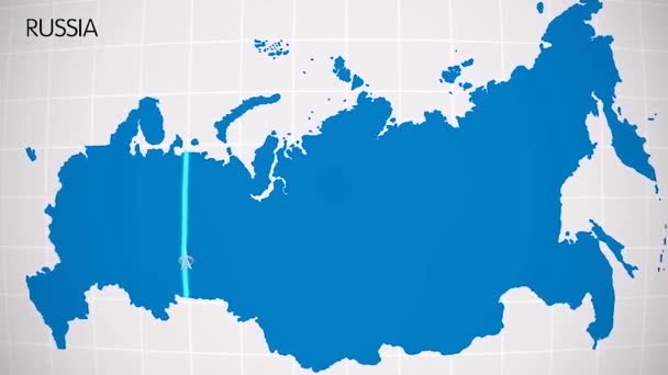
The division of Europe and Asia on the map. the city Ekaterinburg divides Europe and Asia. Eurasia on the map Animation. Eurasia. Yekaterinburg animation HD
The division of Europe and Asia on the map. the city Ekaterinburg divides Europe and Asia. Eurasia on the map Animation. Eurasia. Yekaterinburg animation — Stock Video
Turkey Map Showing Up Intro By Regions 4k animated Turkey map intro background with countries appearing and fading one by one and camera movement.
Turkey Map Showing Up Intro By Regions 4k animated Turkey map intro background with countries appearing and fading one by one and camera movement — Stock Video
Animation of the map of South America continent
Animation of the map of South america — Stock Video
Wisconsin State of USA. Animated map of USA showing the state of Wisconsin. United States of America. Neumorphism minimal style.
Wisconsin State of USA. Animated map of USA showing the state of Wisconsin. United States of America. Neumorphism minimal style — Stock Video
Abstract line animation Illinois State of USA on hexagon style. Illinois state. United States of America. Outline map of Illinois federal state highlighted from map of USA.
Abstract line animation Illinois State of USA on hexagon style. Illinois state. United States of America. Outline map of Illinois federal state highlighted from map of USA — Stock Video
Russia map highlighted in Russia flag colors and pin of country capital Moscow, map with neighboring European countries.
Russia Map Highlighted Russia Flag Colors Pin Country Capital Moscow — Stock Video
3D animation simulating the Ebola Virus Spreading to Europe from the African outbreak countries
Ebola Virus Spreading to Europe — Stock Video
Abstract line animation Rhode Island State of USA on hexagon style. Rhode Island state. United States of America. Outline map of Rhode Island federal state highlighted from map of USA.
Abstract line animation Rhode Island State of USA on hexagon style. Rhode Island state. United States of America. Outline map of Rhode Island federal state highlighted from map of USA — Stock Video
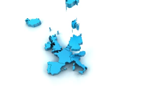
3d animation of Europe map formed by individual countries
3d animation of Europe map formed by individual countries — Stock Video
Watercolor animated map showing the state of Michigan from the united state of American. 2d map of Michigan. 4k Motion graphics.
Watercolor animated map showing the state of Michigan from the united state of American. 2d map of Michigan. — Stock Video

Usage Information

You can use this royalty-free vector image "Map of Indonesia with borders in blue" for personal and commercial purposes according to the Standard or Extended License. The Standard License covers most use cases, including advertising, UI designs, and product packaging, and allows up to 500,000 print copies. The Extended License permits all use cases under the Standard License with unlimited print rights and allows you to use the downloaded vector files for merchandise, product resale, or free distribution.

This stock vector image is scalable to any size. You can buy and download it in high resolution up to 2966x5394. Upload Date: Jan 21, 2014