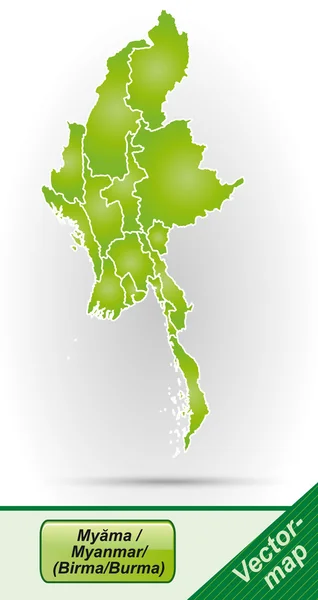
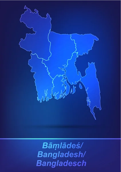
Map of myanmar — Stock Vector

Map of myanmar — Vector

Map of myanmar with borders in network design

 — Vector by artalis

Similar Stock Videos:

Pyongyang in Korean on simple blue map. Plane symbol with trail flight over atlas chart with city marked by pushpin. Airplane icon moving on maps 3d animation.
Pyongyang Korean Simple Blue Map Plane Symbol Trail Flight Atlas — Stock Video
1999 Little Rock, Arkansas tornado event. Depicts radar imagery (reflectivity) taken by National Weather Service NEXRAD radar.
1999 Little Rock, AR Tornado Doppler Radar — Stock Video
Solar radiation by month in the New Zealand area with animated legend - English labels: country and capital names, map description. Stereographic projection
Solar Radiation Month New Zealand Area Animated Legend English Labels — Stock Video
Water vapor pressure by month in the New Zealand area with animated legend - English labels: country and capital names, map description. Stereographic projection
Water Vapor Pressure Month New Zealand Area Animated Legend English — Stock Video
Statistics of the USA in a Digital Presentation with Map and Text
Statistics of the USA in a Digital Presentation with Map and Text — Stock Video
Regions of Guinea Bissau
Regions Guinea Bissau — Stock Video
USA map on blue background of networked flashing dots and lines. Rotates in 3D space with lighting and shadow effects. Seamless loop. See more in the FlatFX series.-
USA NETwork Technology (Loop) — Stock Video
3D animation map on a background
Animation Map Background — Stock Video
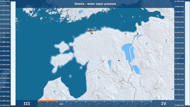
Water vapor pressure by month in the Estonia area with animated legend - glowing shape, administrative borders, main cities, capital. Stereographic projection
Water Vapor Pressure Month Estonia Area Animated Legend Glowing Shape — Stock Video
Regions of Senegal geographic map
Regions Senegal Geographic Map — Stock Video
Water vapor pressure by month in the Estonia area with animated legend - English labels: country and capital names, map description. Stereographic projection
Water Vapor Pressure Month Estonia Area Animated Legend English Labels — Stock Video
Provinces of Indonesia animation map
Provinces Indonesia Animation Map — Stock Video
3D animation map on a background
Animation Map Background — Stock Video
Water vapor pressure by month in the Palestina area with animated legend - English labels: country and capital names, map description. Stereographic projection
Water Vapor Pressure Month Palestina Area Animated Legend English Labels — Stock Video
3D animation map on a background
Animation Map Background — Stock Video
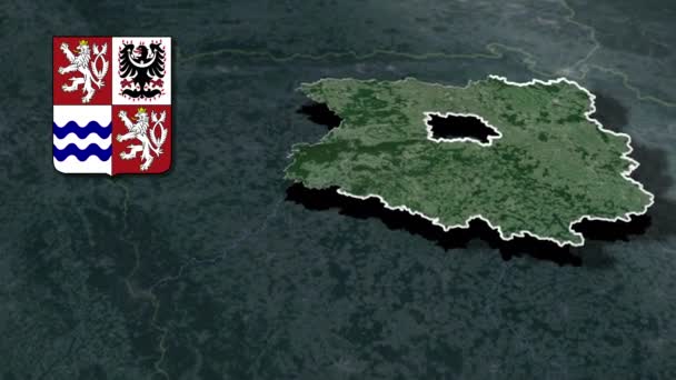
Regions of the Czech Republic Central Bohemia whit Coat of arms animation map
Regions Czech Republic Central Bohemia Whit Coat Arms Animation Map — Stock Video
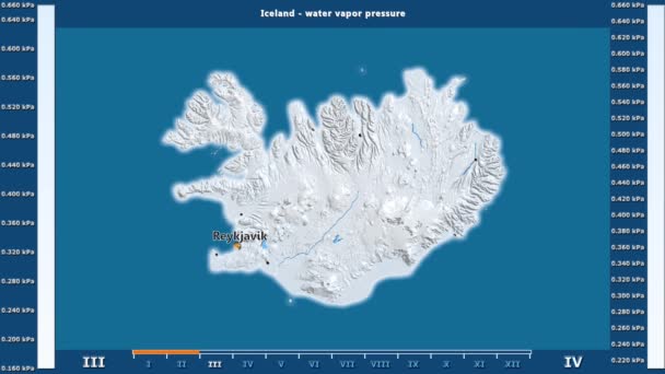
Water vapor pressure by month in the Iceland area with animated legend - English labels: country and capital names, map description. Stereographic projection
Water Vapor Pressure Month Iceland Area Animated Legend English Labels — Stock Video
3D animation map on a background
Animation Map Background — Stock Video

Usage Information

You can use this royalty-free vector image "Map of myanmar" for personal and commercial purposes according to the Standard or Extended License. The Standard License covers most use cases, including advertising, UI designs, and product packaging, and allows up to 500,000 print copies. The Extended License permits all use cases under the Standard License with unlimited print rights and allows you to use the downloaded vector files for merchandise, product resale, or free distribution.

This stock vector image is scalable to any size. You can buy and download it in high resolution up to 2928x5523. Upload Date: Jan 22, 2014