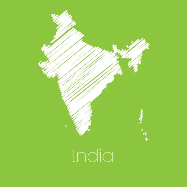
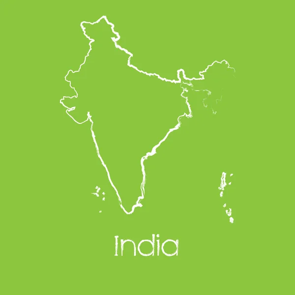
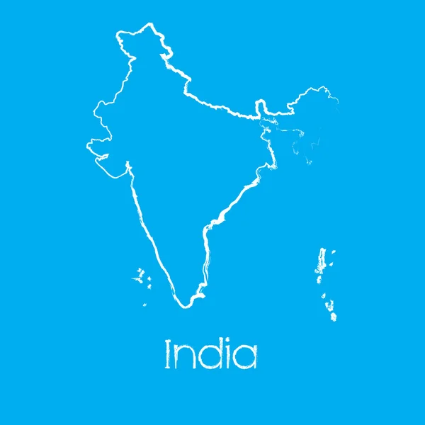
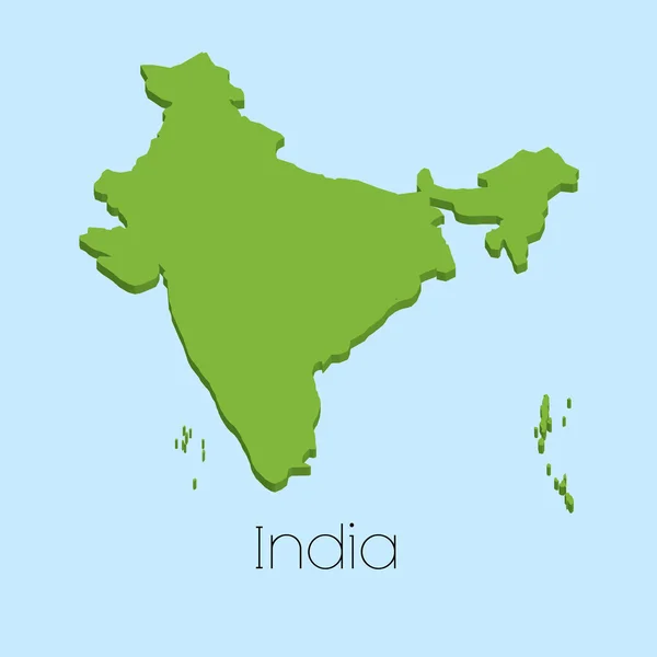
Map of the country of India — Stock Vector

Map of the country of India — Vector

A Map of the country of India

 — Vector by PaulStringer

Similar Stock Videos:
Medium shot of handsome bearded mixed race man helping his cute 8-year-old son to repair bicycle wheel spending time together in backyard on summer day
Medium Shot Handsome Bearded Mixed Race Man Helping His Cute — Stock Video
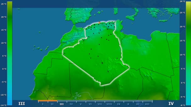
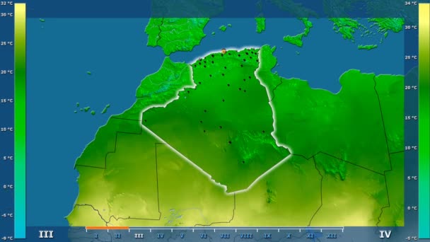
Minimum temperature by month in the Algeria area with animated legend - glowing shape, administrative borders, main cities, capital. Stereographic projection
Minimum Temperature Month Algeria Area Animated Legend Glowing Shape Administrative — Stock Video
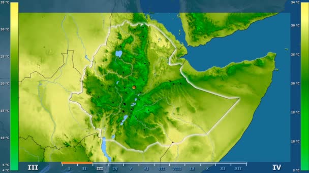
Average temperature by month in the Ethiopia area with animated legend - glowing shape, administrative borders, main cities, capital. Stereographic projection
Average Temperature Month Ethiopia Area Animated Legend Glowing Shape Administrative — Stock Video
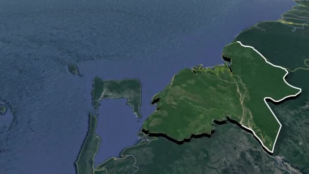
States of Venezuela - Geographic Maps
States Venezuela Geographic Maps — Stock Video
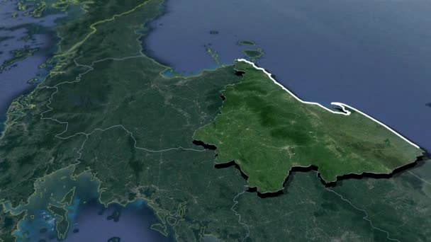
Provinces of Thailand animation map
Provinces Thailand Animation Map — Stock Video
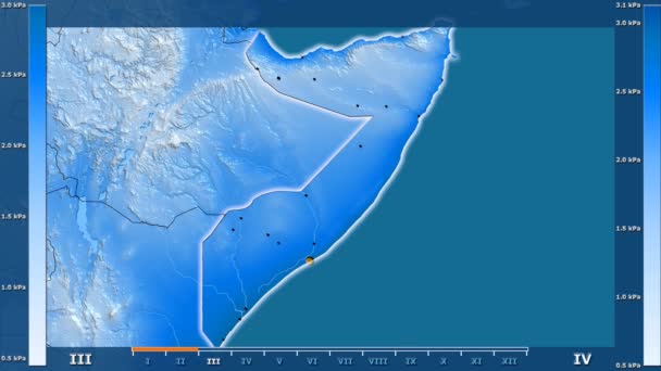
Water vapor pressure by month in the Somalia area with animated legend - glowing shape, administrative borders, main cities, capital. Stereographic projection
Water Vapor Pressure Month Somalia Area Animated Legend Glowing Shape — Stock Video
Minimum temperature by month in the Yemen area with animated legend - glowing shape, administrative borders, main cities, capital. Stereographic projection
Minimum Temperature Month Yemen Area Animated Legend Glowing Shape Administrative — Stock Video
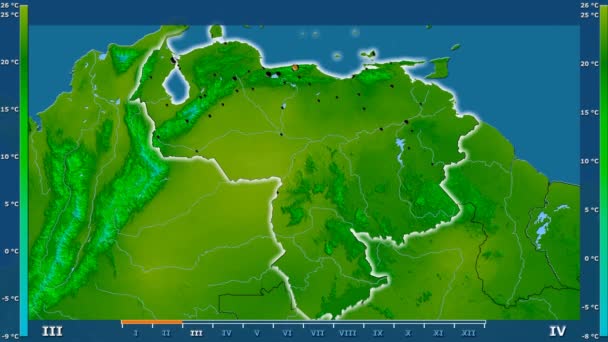
Minimum temperature by month in the Venezuela area with animated legend - glowing shape, administrative borders, main cities, capital. Stereographic projection
Minimum Temperature Month Venezuela Area Animated Legend Glowing Shape Administrative — Stock Video
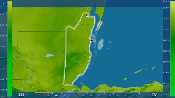
Average temperature by month in the Belize area with animated legend - glowing shape, administrative borders, main cities, capital. Stereographic projection
Average Temperature Month Belize Area Animated Legend Glowing Shape Administrative — Stock Video
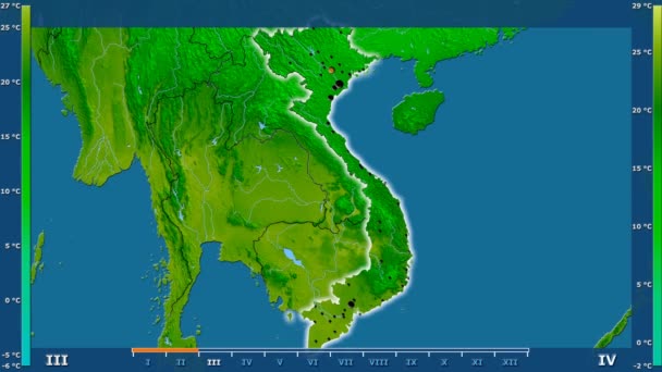
Minimum temperature by month in the Vietnam area with animated legend - glowing shape, administrative borders, main cities, capital. Stereographic projection
Minimum Temperature Month Vietnam Area Animated Legend Glowing Shape Administrative — Stock Video
Minimum temperature by month in the Malaysia area with animated legend - glowing shape, administrative borders, main cities, capital. Stereographic projection
Minimum Temperature Month Malaysia Area Animated Legend Glowing Shape Administrative — Stock Video
Average temperature by month in the Algeria area with animated legend - glowing shape, administrative borders, main cities, capital. Stereographic projection
Average Temperature Month Algeria Area Animated Legend Glowing Shape Administrative — Stock Video
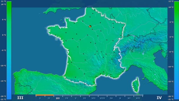
Minimum temperature by month in the France area with animated legend - glowing shape, administrative borders, main cities, capital. Stereographic projection
Minimum Temperature Month France Area Animated Legend Glowing Shape Administrative — Stock Video
Maximum temperature by month in the Namibia area with animated legend - glowing shape, administrative borders, main cities, capital. Stereographic projection
Maximum Temperature Month Namibia Area Animated Legend Glowing Shape Administrative — Stock Video
Maximum temperature by month in the Yemen area with animated legend - glowing shape, administrative borders, main cities, capital. Stereographic projection
Maximum Temperature Month Yemen Area Animated Legend Glowing Shape Administrative — Stock Video
Provinces of Thailand animation map
Provinces Thailand Animation Map — Stock Video
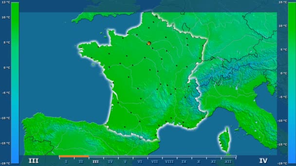
Average temperature by month in the France area with animated legend - glowing shape, administrative borders, main cities, capital. Stereographic projection
Average Temperature Month France Area Animated Legend Glowing Shape Administrative — Stock Video
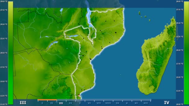
Average temperature by month in the Mozambique area with animated legend - glowing shape, administrative borders, main cities, capital. Stereographic projection
Average Temperature Month Mozambique Area Animated Legend Glowing Shape Administrative — Stock Video

Usage Information

You can use this royalty-free vector image "Map of the country of India" for personal and commercial purposes according to the Standard or Extended License. The Standard License covers most use cases, including advertising, UI designs, and product packaging, and allows up to 500,000 print copies. The Extended License permits all use cases under the Standard License with unlimited print rights and allows you to use the downloaded vector files for merchandise, product resale, or free distribution.

This stock vector image is scalable to any size. You can buy and download it in high resolution up to 3125x3125. Upload Date: Sep 14, 2015