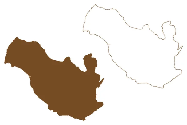
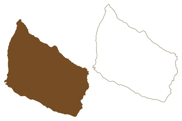
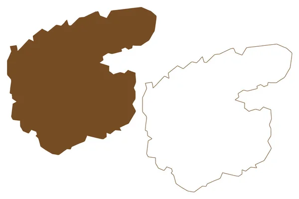
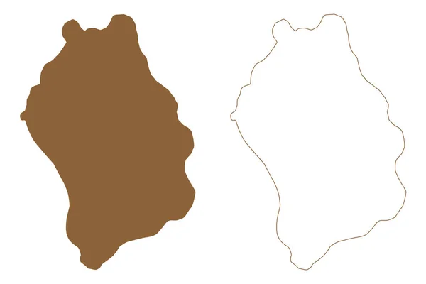
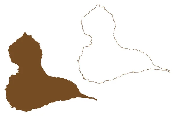
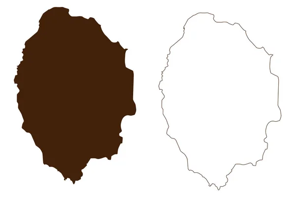
Maui Island United States America North America Usa Hawaiian Islands — Stock Vector

Maui island (United States of America, North America, US, USA, Hawaiian Islands, Hawaii) map vector illustration, scribble sketch The Valley Isle map — Vector

Maui island (United States of America, North America, US, USA, Hawaiian Islands, Hawaii) map vector illustration, scribble sketch The Valley Isle map

 — Vector by Danler

Same Series:

Grytoya island (Kingdom of Norway) map vector illustration, scribble sketch Rivttek map
Grytoya Island Kingdom Norway Map Vector Illustration Scribble Sketch Rivttek — Stock Vector
Tristan da Cunha island (United Kingdom of Great Britain and Northern Ireland, Constituent part of Saint Helena, Ascension and Tristan da Cunha) map vector illustration, scribble sketch Tristan map
Tristan Cunha Island United Kingdom Great Britain Northern Ireland Constituent — Stock Vector
Baluan island (New Guinea, Pacific Ocean, Bismarck Archipelago, Admiralty Islands) map vector illustration, scribble sketch Saint Patrick map
Baluan Island New Guinea Pacific Ocean Bismarck Archipelago Admiralty Islands — Stock Vector
North Seymour island (Republic of Ecuador, Pacific Ocean, Latin or South America, Galapagos Islands, Archipielago de Colon) map vector illustration, scribble sketch Isla Seymour Norte map
North Seymour Island Republic Ecuador Pacific Ocean Latin South America — Stock Vector
Bornholm island (Denmark, Baltic Sea) map vector illustration, scribble sketch Borrinjholm or Bornholmsk map
Bornholm Island Denmark Baltic Sea Map Vector Illustration Scribble Sketch — Stock Vector
Mackenzie King island (Canada, Nunavut Province, North America, Queen Elizabeth Islands) map vector illustration, scribble sketch Mackenzie King map
Mackenzie King Island Canada Nunavut Province North America Queen Elizabeth — Stock Vector
Lobos island (Kingdom of Spain, Canary Islands) map vector illustration, scribble sketch Lobos map
Lobos Island Kingdom Spain Canary Islands Map Vector Illustration Scribble — Stock Vector
Grande-Terre Islands (France, French Republic, Guadeloupe archipelago, Leeward Islands, Lesser Antilles) map vector illustration, scribble sketch Grande Terre map
Grande Terre Islands France French Republic Guadeloupe Archipelago Leeward Islands — Stock Vector
Pellworm island (Federal Republic of Germany) map vector illustration, scribble sketch Pelvorm map
Pellworm Island Federal Republic Germany Map Vector Illustration Scribble Sketch — Stock Vector
Than Island (Republic of the Union of Myanmar, Burma, Mergui, Myeik Archipelago, Indian Ocean) map vector illustration, scribble sketch Than Kyun, Davis, Drake map
Island Republic Union Myanmar Burma Mergui Myeik Archipelago Indian Ocean — Stock Vector
Ombo island (Kingdom of Norway) map vector illustration, scribble sketch Ombo map
Ombo Island Kingdom Norway Map Vector Illustration Scribble Sketch Ombo — Stock Vector
Xiamen island (People's Republic of China, PRC) map vector illustration, scribble sketch Amoy map
Xiamen Island People Republic China Prc Map Vector Illustration Scribble — Stock Vector
Froson island (Kingdom of Sweden) map vector illustration, scribble sketch Froson map
Froson Island Kingdom Sweden Map Vector Illustration Scribble Sketch Froson — Stock Vector
Sheppey island (United Kingdom of Great Britain and Northern Ireland, England) map vector illustration, scribble sketch Isle of Sheppey map
Sheppey Island United Kingdom Great Britain Northern Ireland England Map — Stock Vector
Agrihan Island (Commonwealth of the Northern Mariana Islands, Pacific Ocean, United States of America, USA) map vector illustration, scribble sketch Agrigan map
Agrihan Island Commonwealth Northern Mariana Islands Pacific Ocean United States — Stock Vector
Antimilos island (Hellenic Republic, Greece, Greek island, Cyclades Archipelago) map vector illustration, scribble sketch Ephyra or Ephora map
Antimilos Island Hellenic Republic Greece Greek Island Cyclades Archipelago Map — Stock Vector

Usage Information

You can use this royalty-free vector image "Maui island (United States of America, North America, US, USA, Hawaiian Islands, Hawaii) map vector illustration, scribble sketch The Valley Isle map" for personal and commercial purposes according to the Standard or Extended License. The Standard License covers most use cases, including advertising, UI designs, and product packaging, and allows up to 500,000 print copies. The Extended License permits all use cases under the Standard License with unlimited print rights and allows you to use the downloaded vector files for merchandise, product resale, or free distribution.

This stock vector image is scalable to any size. You can buy and download it in high resolution up to 7087x4726. Upload Date: Nov 9, 2021