Mozambique political map — Stock Vector

Mozambique political map — Vector

Mozambique political map with capital Maputo. Republic and country in Southeast Africa bordered by the Indian Ocean. Gray illustration isolated on white background. English labeling. Vector.

 — Vector by Furian

Same Series:

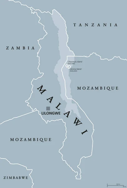
Malawi political map with capital Lilongwe. Republic. Landlocked country in Southeast Africa. Formerly Nyasaland. Lake Malawi takes up a third of its area. Gray illustration. English labeling. Vector.
Malawi political map — Stock Vector
Political map of South-Central Africa with capitals, national borders, rivers and lakes. With english labeling and scale.
South-Central Africa Political Map — Stock Vector
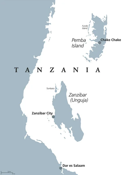
Zanzibar and Pemba Island political map. Semi-autonomous region of Tanzania in East Africa. Zanzibar Archipelago in the Indian Ocean. Gray illustration on white background. English labeling. Vector.
Zanzibar and Pemba Tanzania political map — Stock Vector
West Central Africa countries political map with borders. English labeling. Parts of Western and Central Africa. From Nigeria to the Democratic Republic of the Congo. Gray illustration. Vector.
West Central Africa countries political map — Stock Vector
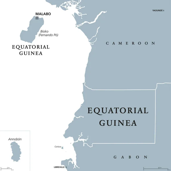
Equatorial Guinea political map with capital Malabo on Bioko or Fernando Po island. Republic. Country in Central Africa. Formerly Spanish Guinea. Gray illustration over white. English labeling. Vector
Equatorial Guinea political map — Stock Vector
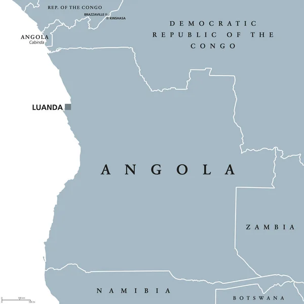
Angola political map with capital Luanda and exclave Cabinda. Republic and country in Southern Africa on the Atlantic Ocean. Gray illustration isolated on white background. English labeling. Vector.
Angola political map — Stock Vector
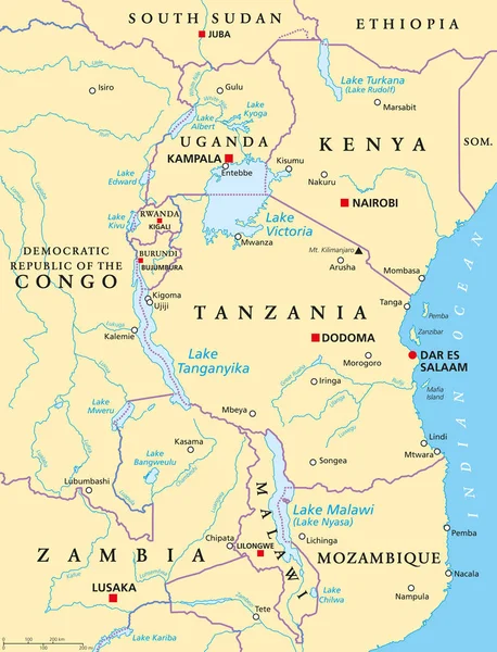
African Great Lakes. Political map with capitals, borders, important cities, rivers and lakes. Lake Victoria, Tanganyika, Malawi, Turkana und the smaller ones. English labeling. Illustration. Vector.
African Great Lakes, political map — Stock Vector
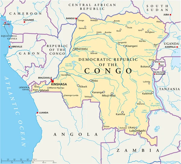
Congo Democratic Republic Political Map with capital Kinshasa, national borders, most important cities, rivers and lakes. Illustration with English labeling and scaling.
Congo Democratic Republic Political Map — Stock Vector
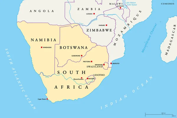
Southern Africa region political map. Southernmost region of African continent. South Africa, Namibia, Botswana, Swaziland and Lesotho. With capitals and borders English labeling. Illustration. Vector
Southern Africa region, political map — Stock Vector
Tanzania political map with capital Dodoma, national borders, islands Zanzibar, Pemba and neighbor countries. Republic in Eastern Africa. English labeling. Gray colored illustration over white.
Tanzania political map — Stock Vector
Central Africa region, political map. Area with borders. Core region of the African continent, also called Middle Africa. Gray illustration on white background. Vector.
Central Africa region political map — Stock Vector
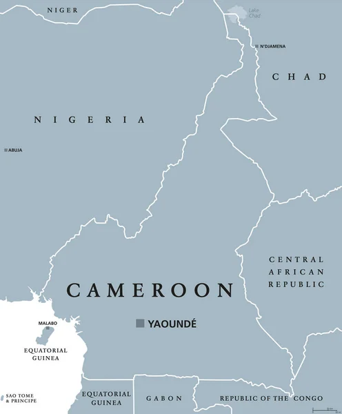
Cameroon political map with capital Yaound, international borders and neighbors. Republic and country in Central Africa. Gray illustration isolated on white background. English labeling. Vector.
Cameroon political map — Stock Vector
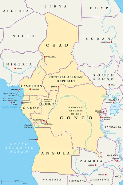
Central Africa region, political map. Area with capitals, borders, lakes and important rivers. Core region of the African continent, also called Middle Africa. English labeling. Illustration. Vector.
Central Africa region, political map — Stock Vector
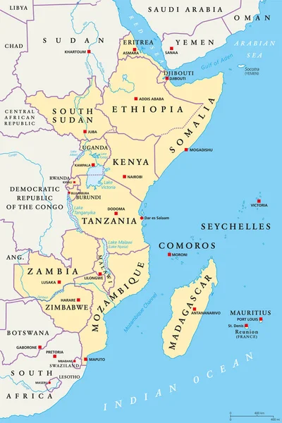
East Africa region, political map. Area with capitals, borders, lakes and important rivers. Easterly region of the African continent, also called Eastern Africa. English labeling. Illustration. Vector
East Africa region, political map — Stock Vector
Burundi political map with capital Bujumbura and international borders. Republic and landlocked country in the African Great Lakes region of East Africa. Gray illustration. English labeling. Vector.
Burundi political map — Stock Vector
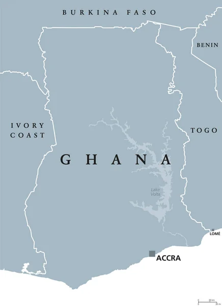
Ghana political map with capital Accra. Republic and country in West Africa along the Gulf of Guinea and Atlantic Ocean. Gray illustration isolated on white background with English labeling. Vector.
Ghana political map — Stock Vector

Similar Stock Videos:
Animated detailed map of Germany country
Animated detailed map of Germany — Stock Video
Uzbekistan map highlighted in Uzbekistan flag colors and pin of country capital Tashkent, map with neighboring Asian countries.
Uzbekistan Map Highlighted Uzbekistan Flag Colors Pin Country Capital Tashkent — Stock Video
India map highlighted in India flag colors and pin of country capital New Delhi, map with neighboring Asian countries.
India Map Highlighted India Flag Colors Pin Country Capital New — Stock Video
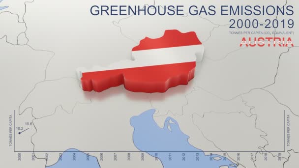
Greenhouse gas emissions in Austria from 2000 to 2019. Values in tonnes per capita (CO2 equivalent). Source data: Eurostat. 3D rendering loop able video with 4K resolution.
Greenhouse Gas Emissions Austria 2000 2019 Values Tonnes Capita Co2 — Stock Video
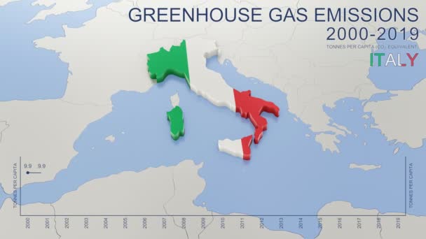
Greenhouse gas emissions in Italy from 2000 to 2019. Values in tonnes per capita (CO2 equivalent). Source data: Eurostat. 3D rendering loop able video with 4K resolution.
Greenhouse Gas Emissions Italy 2000 2019 Values Tonnes Capita Co2 — Stock Video
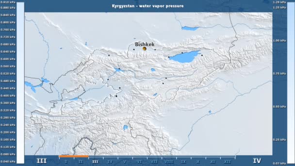
Water vapor pressure by month in the Kyrgyzstan area with animated legend - English labels: country and capital names, map description. Stereographic projection
Water Vapor Pressure Month Kyrgyzstan Area Animated Legend English Labels — Stock Video
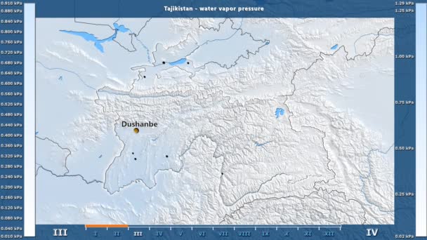
Water vapor pressure by month in the Tajikistan area with animated legend - English labels: country and capital names, map description. Stereographic projection
Water Vapor Pressure Month Tajikistan Area Animated Legend English Labels — Stock Video
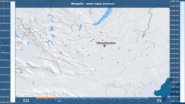
Water vapor pressure by month in the Mongolia area with animated legend - English labels: country and capital names, map description. Stereographic projection
Water Vapor Pressure Month Mongolia Area Animated Legend English Labels — Stock Video
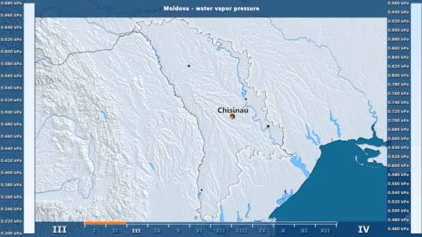
Water vapor pressure by month in the Moldova area with animated legend - English labels: country and capital names, map description. Stereographic projection
Water Vapor Pressure Month Moldova Area Animated Legend English Labels — Stock Video
Water vapor pressure by month in the Belgium area with animated legend - English labels: country and capital names, map description. Stereographic projection
Water Vapor Pressure Month Belgium Area Animated Legend English Labels — Stock Video
James Cook. great geographical discoveries. trip around the world
The great world tour - James Cook. — Stock Video
North Macedonia map highlighted in Macedonia flag colors and pin of country capital Skopje, map with neighboring European countries.
North Macedonia Map Highlighted Macedonia Flag Colors Pin Country Capital — Stock Video
Luxembourg map highlighted in Luxembourg flag colors and pin of country capital Baku, map with neighboring European countries.
Luxembourg Map Highlighted Luxembourg Flag Colors Pin Country Capital Baku — Stock Video
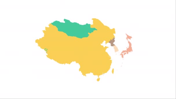
Animation of the map of East Asia region
Animation of the map of East Asia — Stock Video
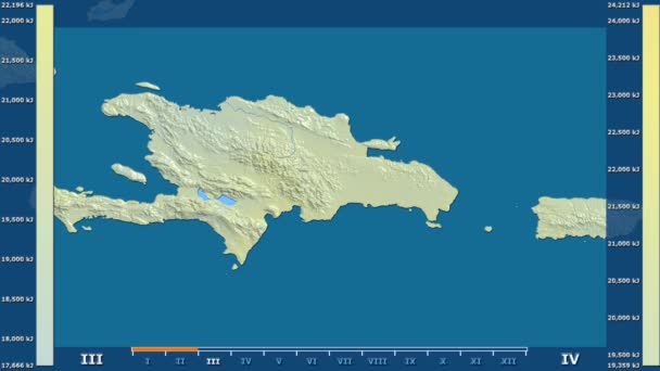
Solar radiation by month in the Dominican Republic area with animated legend - raw color shader. Stereographic projection
Solar Radiation Month Dominican Republic Area Animated Legend Raw Color — Stock Video
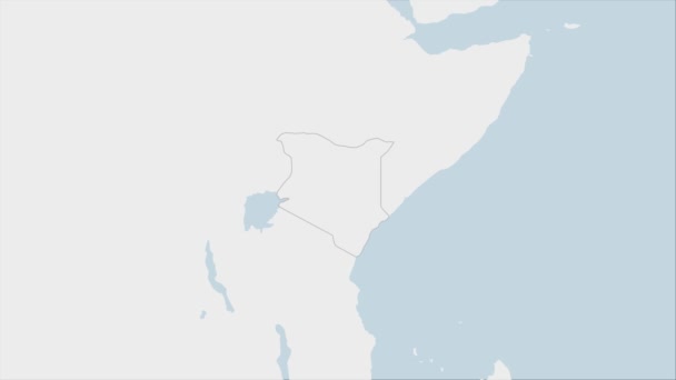
Kenya map highlighted in Kenya flag colors and pin of country capital Nairobi, map with neighboring African countries.
Kenya Map Highlighted Kenya Flag Colors Pin Country Capital Nairobi — Stock Video
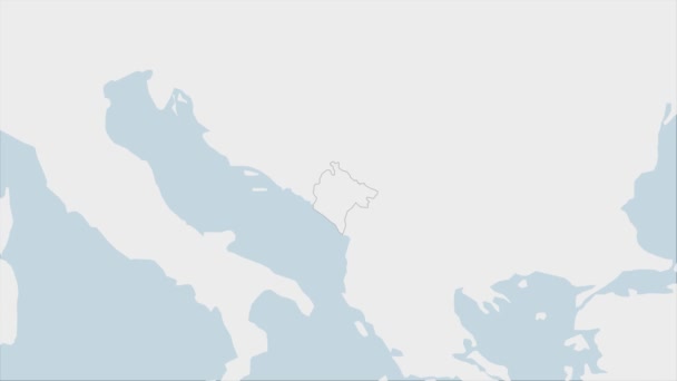
Montenegro map highlighted in Montenegro flag colors and pin of country capital Podgorica, map with neighboring European countries.
Montenegro Map Highlighted Montenegro Flag Colors Pin Country Capital Podgorica — Stock Video
Costa Rica map highlighted in Costa Rica flag colors and pin of country capital San Jose, map with neighboring American countries.
Costa Rica Map Highlighted Costa Rica Flag Colors Pin Country — Stock Video

Usage Information

You can use this royalty-free vector image "Mozambique political map" for personal and commercial purposes according to the Standard or Extended License. The Standard License covers most use cases, including advertising, UI designs, and product packaging, and allows up to 500,000 print copies. The Extended License permits all use cases under the Standard License with unlimited print rights and allows you to use the downloaded vector files for merchandise, product resale, or free distribution.

This stock vector image is scalable to any size. You can buy and download it in high resolution up to 7094x8999. Upload Date: Jul 19, 2017