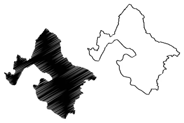
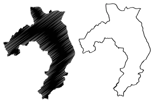
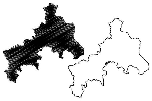
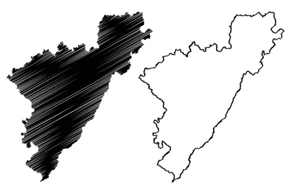
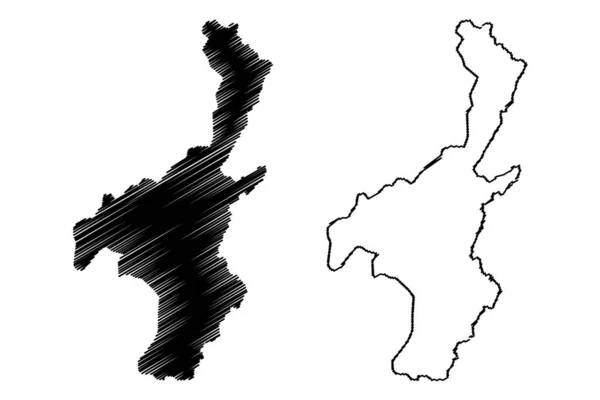
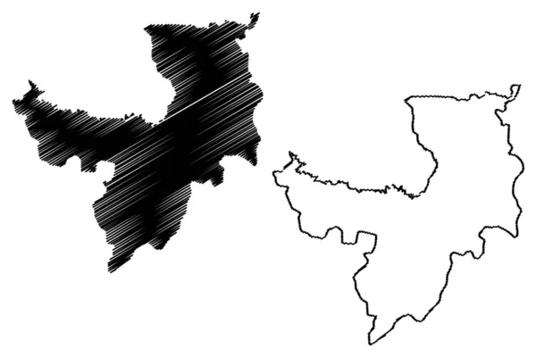
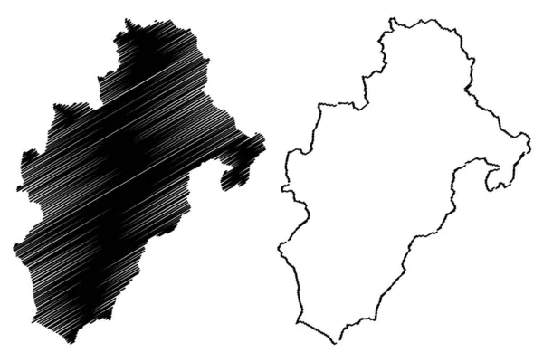
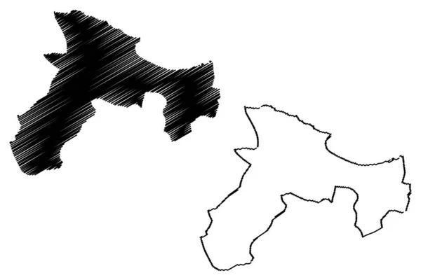
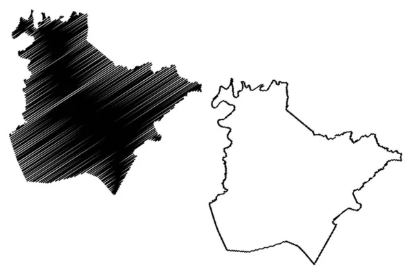
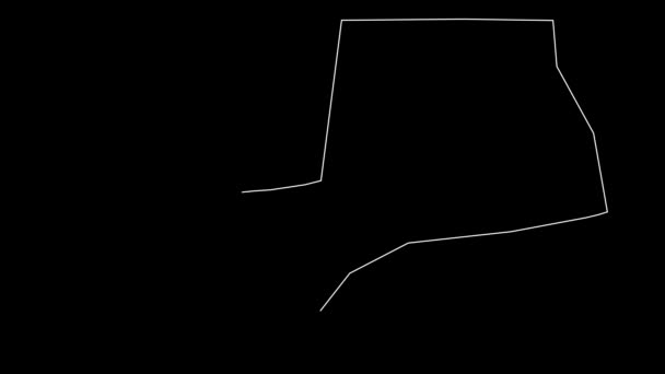
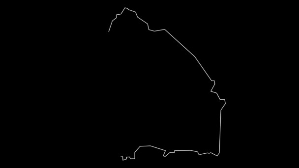
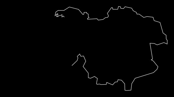
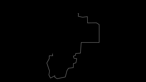
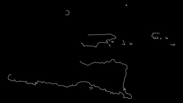
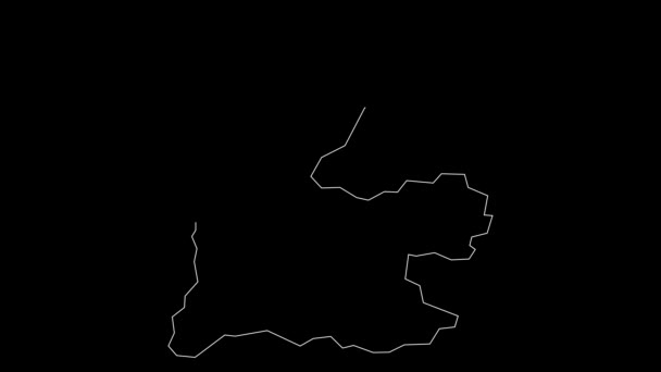
Nuoro Province Italy Italian Republic Sardinia Region Map Vector Illustration — Stock Vector

Nuoro province (Italy, Italian Republic, Sardinia region) map vector illustration, scribble sketch Province of Nuoro map — Vector

Nuoro province (Italy, Italian Republic, Sardinia region) map vector illustration, scribble sketch Province of Nuoro map

 — Vector by Danler

Same Series:

Mehedinti County (Administrative divisions of Romania, Sud-Vest Oltenia development region) map vector illustration, scribble sketch Mehedinti map
Mehedinti County (Administrative divisions of Romania, Sud-Vest Oltenia development region) map vector illustration, scribble sketch Mehedinti ma — Stock Vector
Zilupe Municipality (Republic of Latvia, Administrative divisions of Latvia, Municipalities and their territorial units) map vector illustration, scribble sketch Zilupe map
Zilupe Municipality Republic Latvia Administrative Divisions Latvia Municipalities Territorial Units — Stock Vector
Altenkirchen district (Federal Republic of Germany, State of Rhineland-Palatinate) map vector illustration, scribble sketch Westerwald map
Altenkirchen District Federal Republic Germany State Rhineland Palatinate Map Vector — Stock Vector
Schwyz (Cantons of Switzerland, Swiss cantons, Swiss Confederation) map vector illustration, scribble sketch Canton of Schwyz map
Schwyz Cantons Switzerland Swiss Cantons Swiss Confederation Map Vector Illustration — Stock Vector
Pali district (Rajasthan State, Republic of India) map vector illustration, scribble sketch Pali map
Pali District Rajasthan State Republic India Map Vector Illustration Scribble — Stock Vector
Muyinga Province (Republic of Burundi, Provinces of Burundi, Northern region) map vector illustration, scribble sketch Muyinga map
Muyinga Province (Republic of Burundi, Provinces of Burundi, Northern region) map vector illustration, scribble sketch Muyinga map — Stock Vector
Bintan island (Republic of Indonesia, South East Asia, Riau Archipelago) map vector illustration, scribble sketch Bintan map
Bintan Island Republic Indonesia South East Asia Riau Archipelago Map — Stock Vector
Aravalli district (Gujarat State, Republic of India) map vector illustration, scribble sketch Aravalli map
Aravalli District Gujarat State Republic India Map Vector Illustration Scribble — Stock Vector
Koderma district (Jharkhand State, Republic of India, North Chotanagpur division) map vector illustration, scribble sketch Koderma map
Koderma District Jharkhand State Republic India North Chotanagpur Division Map — Stock Vector
Obwalden (Cantons of Switzerland, Swiss cantons, Swiss Confederation) map vector illustration, scribble sketch Canton of Obwald map
Obwalden Cantons Switzerland Swiss Cantons Swiss Confederation Map Vector Illustration — Stock Vector
Nantou County (Administrative divisions of Taiwan, Republic of China, ROC, Counties) map vector illustration, scribble sketch Nantou map
Nantou County (Administrative divisions of Taiwan, Republic of China, ROC, Counties) map vector illustration, scribble sketch Nantou ma — Stock Vector
Ryanggang Province (Democratic Peoples Republic of Korea, DPRK, DPR Korea, Provinces of North Korea) map vector illustration, scribble sketch Ryanggangdo map
Ryanggang Province (Democratic Peoples Republic of Korea, DPRK, DPR Korea, Provinces of North Korea) map vector illustration, scribble sketch Ryanggangdo ma — Stock Vector
Department of Moquegua (Republic of Peru, Regions of Peru) map vector illustration, scribble sketch Moquegua map
Department of Moquegua map vecto — Stock Vector
Bejaia Province (Provinces of Algeria, Peoples Democratic Republic of Algeria) map vector illustration, scribble sketch Bejaia map
Bejaia Province (Provinces of Algeria, Peoples Democratic Republic of Algeria) map vector illustration, scribble sketch Bejaia ma — Stock Vector
Mitchell County, North Carolina State (U.S. county, United States of America, USA, U.S., US) map vector illustration, scribble sketch Mitchell map
Mitchell County North Carolina State County United States America Usa — Stock Vector
Estill County, Kentucky (U.S. county, United States of America, USA, U.S., US) map vector illustration, scribble sketch Estill map
Estill County Kentucky County United States America Usa Map Vector — Stock Vector

Usage Information

You can use this royalty-free vector image "Nuoro province (Italy, Italian Republic, Sardinia region) map vector illustration, scribble sketch Province of Nuoro map" for personal and commercial purposes according to the Standard or Extended License. The Standard License covers most use cases, including advertising, UI designs, and product packaging, and allows up to 500,000 print copies. The Extended License permits all use cases under the Standard License with unlimited print rights and allows you to use the downloaded vector files for merchandise, product resale, or free distribution.

This stock vector image is scalable to any size. You can buy and download it in high resolution up to 7087x4726. Upload Date: Jul 3, 2021