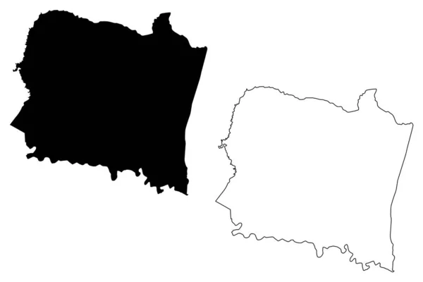
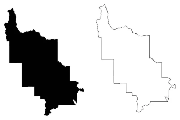
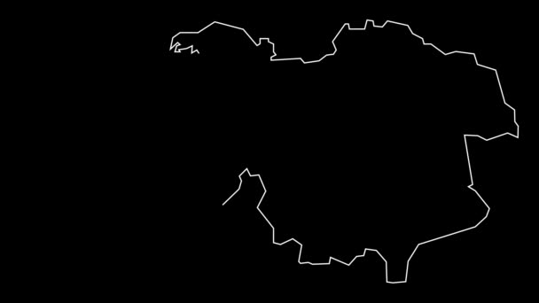
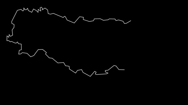
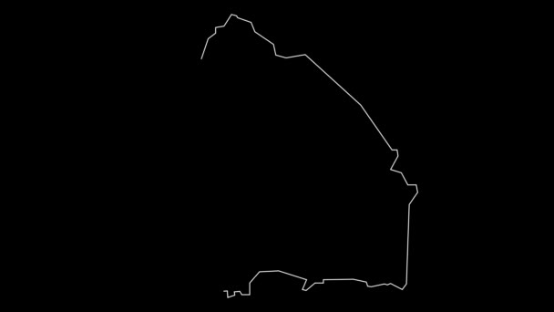
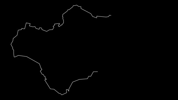
Ogun State Subdivisions Nigeria Federated State Nigeria Map Vector Illustration — Stock Vector

Ogun State (Subdivisions of Nigeria, Federated state of Nigeria) map vector illustration, scribble sketch Ogun map — Vector

Ogun State (Subdivisions of Nigeria, Federated state of Nigeria) map vector illustration, scribble sketch Ogun map

 — Vector by Danler

Same Series:

San Sebastian municipality (Commonwealth of Puerto Rico, Porto Rico, PR, Unincorporated territories of the United States) map vector illustration, scribble sketch San Sebastian map
San Sebastian municipality (Commonwealth of Puerto Rico, Porto Rico, PR, Unincorporated territories of the United States) map vector illustration, scribble sketch San Sebastian map — Stock Vector
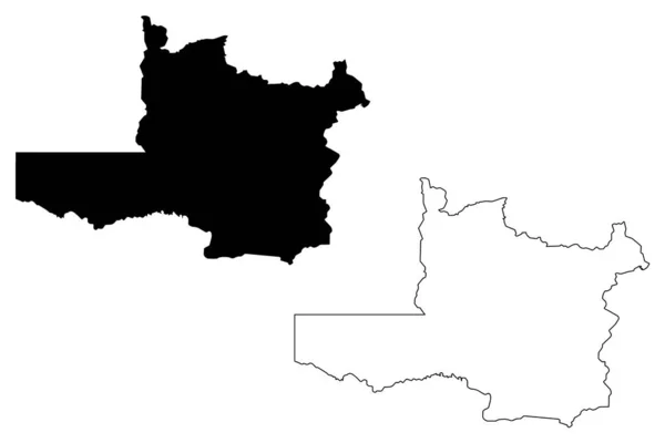
North-Western Province (Provinces of Zambia, Republic of Zambia) map vector illustration, scribble sketch North Western map
North-Western Province (Provinces of Zambia, Republic of Zambia) map vector illustration, scribble sketch North Western ma — Stock Vector
Collines Department (Departments of Benin, Republic of Benin, Dahomey) map vector illustration, scribble sketch Collines map
Collines Department (Departments of Benin, Republic of Benin, Dahomey) map vector illustration, scribble sketch Collines map — Stock Vector
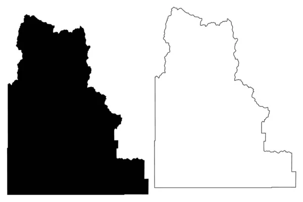
Camas County, Idaho (U.S. county, United States of America, USA, U.S., US) map vector illustration, scribble sketch Camas map
Camas County Idaho County United States America Usa Map Vector — Stock Vector
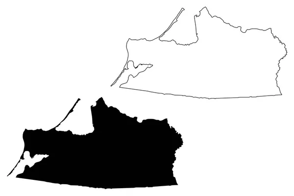
Kaliningrad Oblast (Russia, Subjects of the Russian Federation, Oblasts of Russia) map vector illustration, scribble sketch Kaliningrad Region map
Kaliningrad Oblast Russia Subjects Russian Federation Oblasts Russia Map Vector — Stock Vector
Talbot County, Georgia (U.S. county, United States of America, USA, U.S., US) map vector illustration, scribble sketch Talbot map
Talbot County Georgia County United States America Usa Map Vector — Stock Vector
McKenzie County, North Dakota State (U.S. county, United States of America, USA, U.S., US) map vector illustration, scribble sketch McKenzie map
Mckenzie County North Dakota State County United States America Usa — Stock Vector
Cass County, Nebraska (U.S. county, United States of America, USA, U.S., US) map vector illustration, scribble sketch Cass map
Cass County Nebraska County United States America Usa Map Vector — Stock Vector
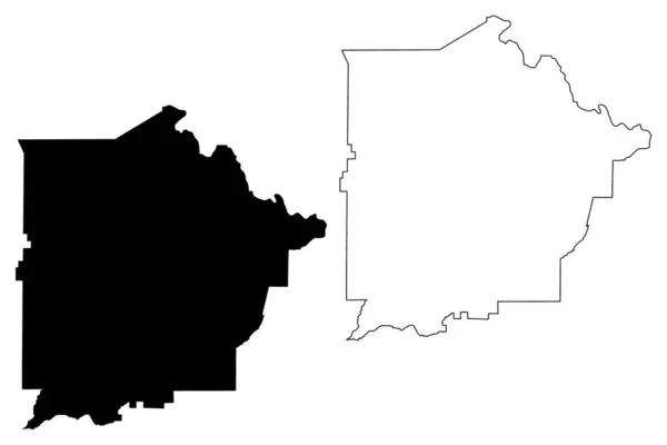
Coffee County, Georgia (U.S. county, United States of America,USA, U.S., US) map vector illustration, scribble sketch Coffee map
Coffee County Georgia County United States America Usa Map Vector — Stock Vector
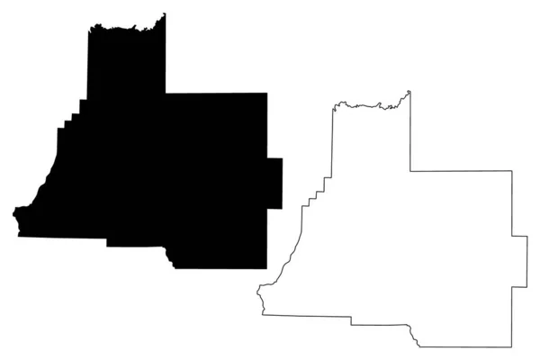
Webster and Saunders County, Nebraska (U.S. county, United States of America, USA, U.S., US) map vector illustration, scribble sketch map
Webster Saunders County Nebraska County United States America Usa Map — Stock Vector
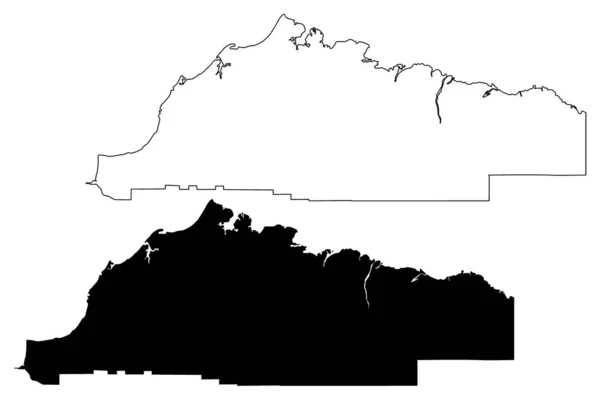
North Slope Borough, Alaska (Boroughs and census areas in Alaska, United States of America,USA, U.S., US) map vector illustration, scribble sketch North Slope map
North Slope Borough, Alaska (Boroughs and census areas in Alaska, United States of America,USA, U.S., US) map vector illustration, scribble sketch North Slope map — Stock Vector
Lewis and Clark County, Montana (U.S. county, United States of America, USA, U.S., US) map vector illustration, scribble sketch Lewis and Clark map
Lewis Clark County Montana County United States America Usa Map — Stock Vector
Las Marias municipality (Commonwealth of Puerto Rico, Porto Rico, PR, Unincorporated territories of the United States) map vector illustration, scribble sketch Las Marias map
Las Marias municipality (Commonwealth of Puerto Rico, Porto Rico, PR, Unincorporated territories of the United States) map vector illustration, scribble sketch Las Marias map — Stock Vector
Latah County, Idaho (U.S. county, United States of America, USA, U.S., US) map vector illustration, scribble sketch Latah map
Latah County Idaho County United States America Usa Map Vector — Stock Vector
Kent County, State of Rhode Island and Providence Plantations (U.S. county, United States of America, USA, U.S., US) map vector illustration, scribble sketch Kent map
Kent County State Rhode Island Providence Plantations County United States — Stock Vector
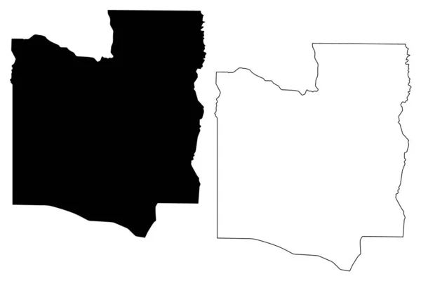
Upper West Region (Administrative divisions of Ghana, Republic of Ghana) map vector illustration, scribble sketch Upper West map
Upper West Region map vecto — Stock Vector

Usage Information

You can use this royalty-free vector image "Ogun State (Subdivisions of Nigeria, Federated state of Nigeria) map vector illustration, scribble sketch Ogun map" for personal and commercial purposes according to the Standard or Extended License. The Standard License covers most use cases, including advertising, UI designs, and product packaging, and allows up to 500,000 print copies. The Extended License permits all use cases under the Standard License with unlimited print rights and allows you to use the downloaded vector files for merchandise, product resale, or free distribution.

This stock vector image is scalable to any size. You can buy and download it in high resolution up to 7087x4726. Upload Date: Dec 27, 2018