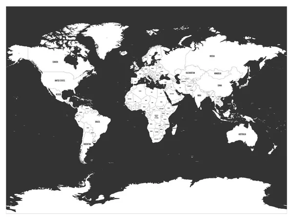
Political map of world with Antarctica. Grey land, white borders on white background. Black labels of states and significant dependent territories names. High detail vector illustration — Stock Vector

Political map of world with Antarctica. Grey land, white borders on white background. Black labels of states and significant dependent territories names. High detail vector illustration — Vector

Political map of world with Antarctica. Grey land, white borders on white background. Black labels of states and significant dependent territories names. High detail vector illustration.

 — Vector by pyty

Same Series:

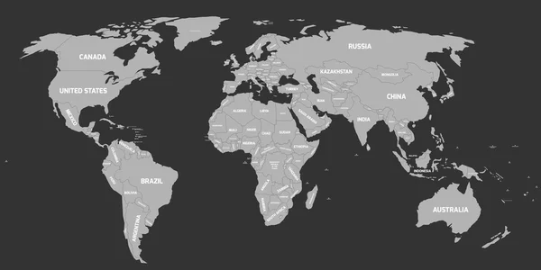
Dark grey political world map with light grey background and white labels of sovereign countries and larger dependent territories. Simplified map. South Sudan included
Political map of World — Stock Vector
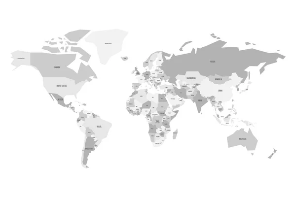
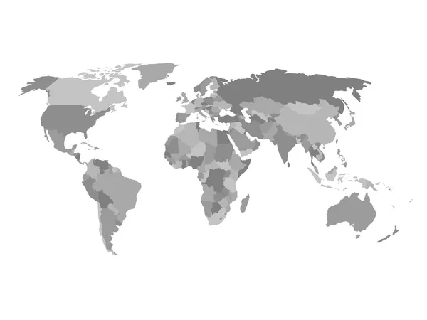
Political map of World. Simplified vector map in four shades of gray.
Political map of World. Simplified vector map in four shades of grey — Stock Vector
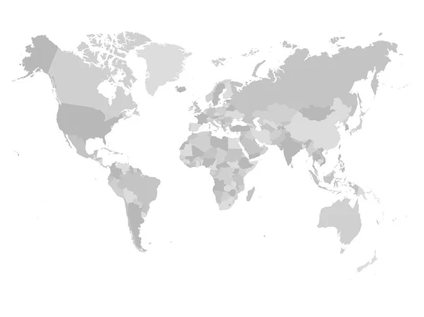
World map in four shades of grey on white background. High detail political map with country names. Vector illustration.
World map in four shades of grey on white background. High detail political map with country names. Vector illustration — Stock Vector
Grey political world map with names of sovereign countries and larger dependent territories. South Sudan included
Political world map on white background. — Stock Vector
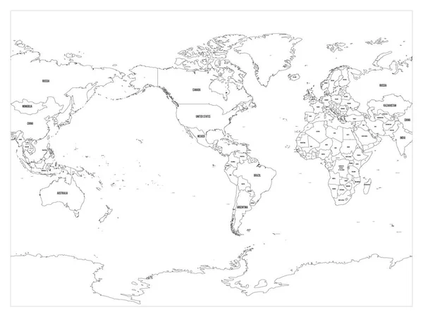
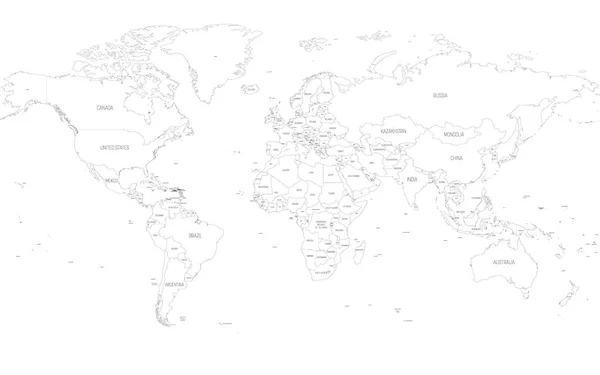
World map country border outline on white background. With country name labels. America centered map of World. Vector illustration.
World map country border outline on white background. With country name labels. America centered map of World. Vector illustration — Stock Vector
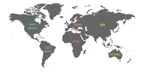
World map divided into six continents. Simple flat vector illustration.
World map divided into six continents. Simple flat vector illustration — Stock Vector
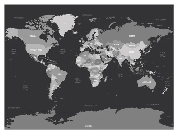
World map - grey colored on dark background. High detailed political map of World with country, capital, ocean and sea names labeling.
World map - grey colored on dark background. High detailed political map of World with country, capital, ocean and sea names labeling — Stock Vector
World map divided into six continents. Simple flat vector illustration.
World map divided into six continents. Simple flat vector illustration — Stock Vector
Map of World. Detailed thin black outline political map with country names. Vector map.
Map of World. Detailed thin black outline political map with country names. Vector map — Stock Vector
Grey geopolitical map of World. Bottom perspective view with background grid. Vector illustration.
Grey geopolitical map of World. Bottom perspective view with background grid. Vector illustration — Stock Vector
Political map of the world in shades of grey. Simlified flat geographical background wallpaper. EPS10 vector illustration.
Political map of the world in shades of grey. Simlified flat geographical background wallpaper. EPS10 vector illustration — Stock Vector
Map of World divided into regions. Thin black outline map. Simple flat vector illustration.
Map of World divided into regions. Thin black outline map. Simple flat vector illustration — Stock Vector
Simplified blank schematic map of World. Political map of countries with generalized borders. Simple flat vector illustration
Simplified Blank Schematic Map World Political Map Countries Generalized Borders — Stock Vector
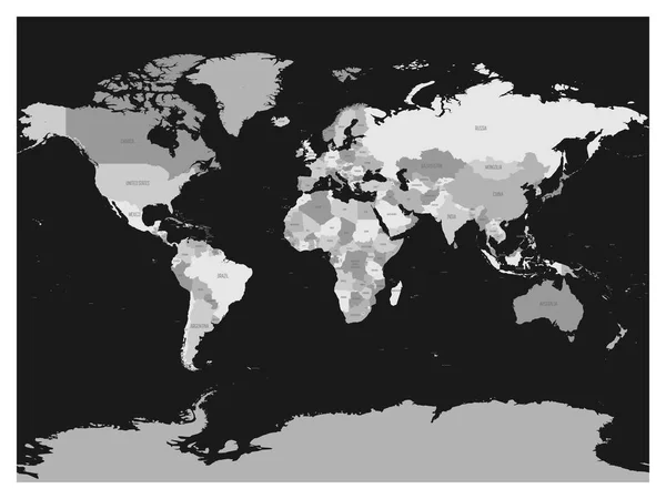
World map in four shades of grey on dark background. High detail blank political map. Vector illustration.
World map in four shades of grey on dark background. High detail blank political map. Vector illustration — Stock Vector
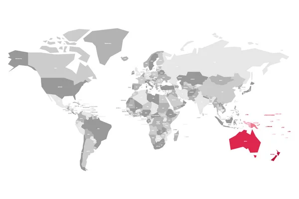
Map of World in grey colors with red highlighted countries of Australia. Vector illustration.
Map of World in grey colors with red highlighted countries of Australia. Vector illustration — Stock Vector
Political map of world. White lands and dark grey seas. Vector illustration.
Political map of world. White lands and dark grey seas. Vector illustration — Stock Vector

Similar Stock Videos:
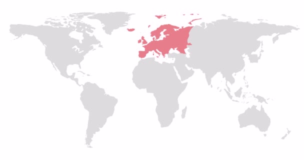
2D World map with red highlighting of Europe. Allocation of the mainland territory. Alpha channel. 4K
2D World map with red highlighting of Europe. Allocation of the mainland territory. Alpha channel. 4K — Stock Video
2D World map with red highlighting of North America. Allocation of the mainland territory. Alpha channel. 4K
2D World map with red highlighting of North America. Allocation of the mainland territory. Alpha channel. 4K — Stock Video
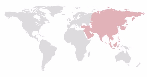
2D World map with red highlighting of Asia. Allocation of the mainland territory. Alpha channel. 4K
2D World map with red highlighting of Asia. Allocation of the mainland territory. Alpha channel. 4K — Stock Video
Digital animation of world map against shimmering blue background
World map against shimmering blue background — Stock Video
Digital animation of World map against blue shimmering background
World map against blue shimmering background — Stock Video
World map of airline airplane flight path. Travel around the world plane route. Motion Animation. Video available in 4K FullHD and HD render footage
World map of airline airplane flight path. Travel around the world plane route — Stock Video
A world map and connection line all over the world
A growing network across the world — Stock Video
Animation of a world map, continents turning red, showing Covid-19 Coronavirus spread. Global coronavirus Covid 19 pandemic concept digitally generated
Animation World Map Continents Turning Red Showing Covid Coronavirus Spread — Stock Video
Digital animation of World map against shimmering star background
World map against shimmering star background — Stock Video
A world map and connection line all over the world
A growing network across the world — Stock Video
Light trails moving over world map turning red against blue background. global networking and technology concept
Light Trails Moving World Map Turning Red Blue Background Global — Stock Video
4k Global GPS data detect earth map military radar GPS navigation interface.
4k Global GPS data detect earth map military radar GPS navigation interface. — Stock Video
Digital animation of White world map against shimmering background
White world map against shimmering background — Stock Video
A world map and connection line all over the world
A growing network across the world — Stock Video
Ukraine wants peace, no war. World map on which hearts fly in the colors of the flag of Ukraine.
Ukraine Wants Peace War World Map Which Hearts Fly Colors — Stock Video
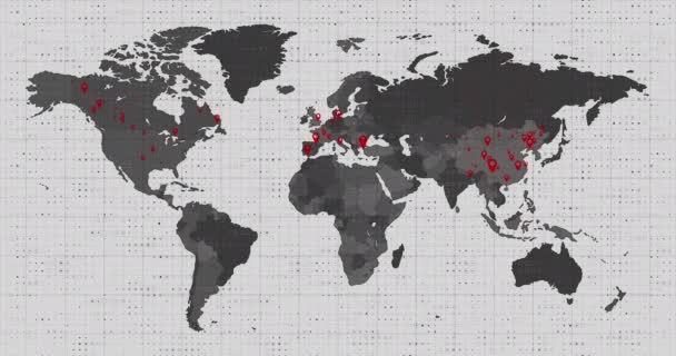
Danger from China spreads all over the earth. Countries on the world map are highlighted in red. Motion graphics. 4k
Danger from China spreads all over the earth. Countries on the world map are highlighted in red. Motion graphics. — Stock Video
World Map With Mosaic Background/ Animation of a 4k world map with mosaic mask, for geography and global warming infographics
World Map Mosaic Background Animation World Map Mosaic Mask Geography — Stock Video
Animation of a world map, continents turning red, showing Covid-19 Coronavirus spread. Global coronavirus Covid 19 pandemic concept digitally generated
Animation World Map Continents Turning Red Showing Covid Coronavirus Spread — Stock Video

Usage Information

You can use this royalty-free vector image "Political map of world with Antarctica. Grey land, white borders on white background. Black labels of states and significant dependent territories names. High detail vector illustration" for personal and commercial purposes according to the Standard or Extended License. The Standard License covers most use cases, including advertising, UI designs, and product packaging, and allows up to 500,000 print copies. The Extended License permits all use cases under the Standard License with unlimited print rights and allows you to use the downloaded vector files for merchandise, product resale, or free distribution.

This stock vector image is scalable to any size. You can buy and download it in high resolution up to 8000x6000. Upload Date: May 11, 2017