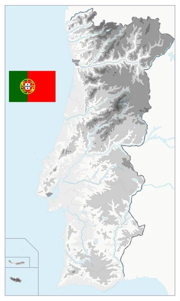
Portugal Physical Map Isolated on White. No text — Stock Vector

Portugal Physical Map Isolated on White. No text — Vector

Portugal Physical Map Isolated on White. No text. Detailed vector illustration of map.

 — Vector by Cartarium

Same Series:

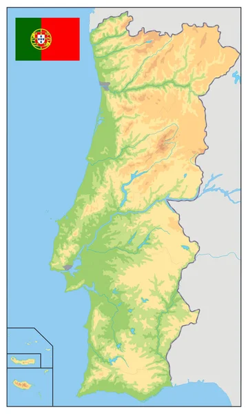
Portugal Physical Map. No text. Detailed vector illustration of map.
Portugal Physical Map. No text — Stock Vector
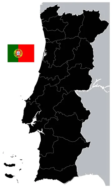
Black Map of Portugal. No text - Detailed map of Portugal vector illustration - All elements are separated in editable layers clearly labeled.
Black Map of Portugal. No text — Stock Vector
Portugal Physical Map White and Grey - No text - Detailed map of Portugal vector illustration - All elements are separated in editable layers clearly labeled.
Portugal Physical Map White and Grey - No text — Stock Vector
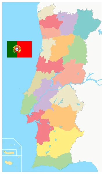
Portugal Map Administrative Divisions. No text - Detailed map of Portugal vector illustration - All elements are separated in editable layers clearly labeled.
Portugal Map Administrative Divisions. No text — Stock Vector
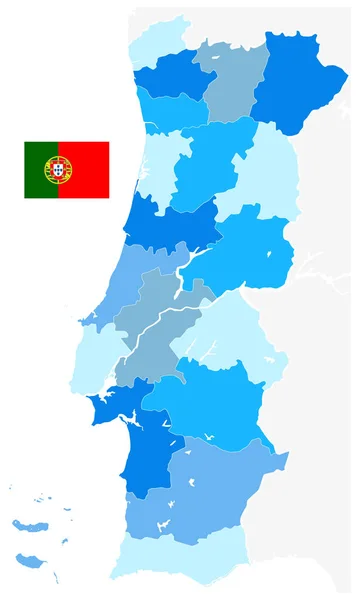
Portugal Map Blue Colors. No text. Isolated on White - Detailed map of Portugal vector illustration - All elements are separated in editable layers clearly labeled.
Portugal Map Blue Colors. No text. Isolated on White — Stock Vector
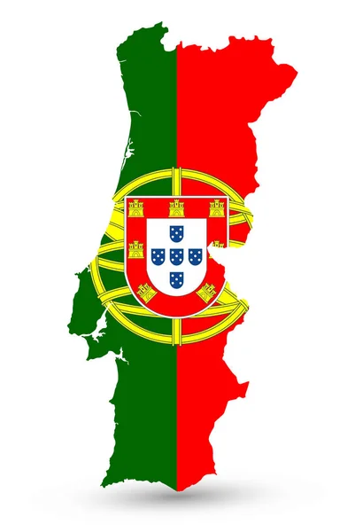
Portugal Map Coloured By National Flag Isolated on White - Vector illustration of map.
Portugal Map Coloured By National Flag Isolated on White — Stock Vector
Portugal Map Blue Colors. No text - Detailed map of Portugal vector illustration - All elements are separated in editable layers clearly labeled.
Portugal Map Blue Colors. No text — Stock Vector
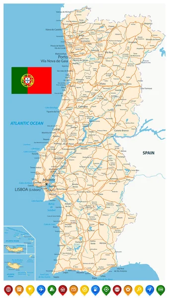
Portugal Map and Colored Map Icons - Detailed map of Portugal vector illustration - All elements are separated in editable layers clearly labeled.
Portugal Map and Colored Map Icons — Stock Vector
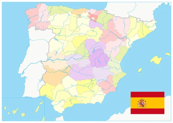
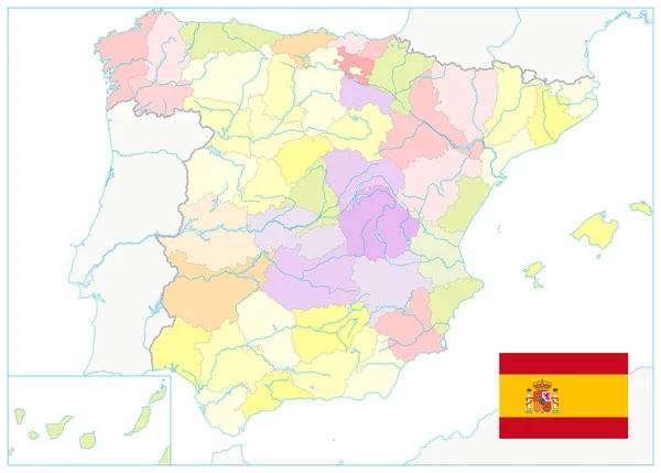
Detailed Political Map of Spain. No text. All elements are separated in editable layers clearly labeled. Vector illustration.
Detailed Political Map Spain Text All Elements Separated Editable Layers — Stock Vector
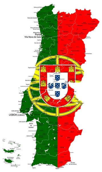
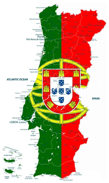
Abstract vector map of Portugal country coloured by national flag isolated on white - Detailed map of Portugal vector illustration - All elements are separated in editable layers clearly labeled.
Abstract vector map of Portugal country coloured by national fla — Stock Vector
Detailed Political Map of Spain Isolated on White. No text. All elements are separated in editable layers clearly labeled. Vector illustration.
Detailed Political Map Spain Isolated White Text All Elements Separated — Stock Vector
Abstract vector map of Portugal country coloured by national flag - Detailed map of Portugal vector illustration - All elements are separated in editable layers clearly labeled.
Abstract vector map of Portugal country coloured by national fla — Stock Vector
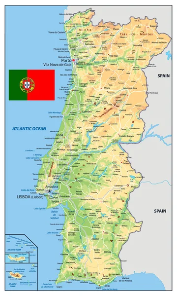
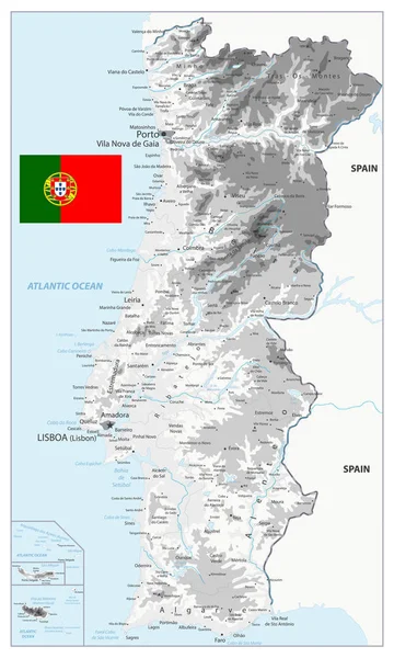
Portugal Physical Map. Detailed vector illustration of map.
Portugal Physical Map — Stock Vector
Portugal Physical Map White and Grey - Detailed map of Portugal vector illustration - All elements are separated in editable layers clearly labeled.
Portugal Physical Map White and Grey — Stock Vector
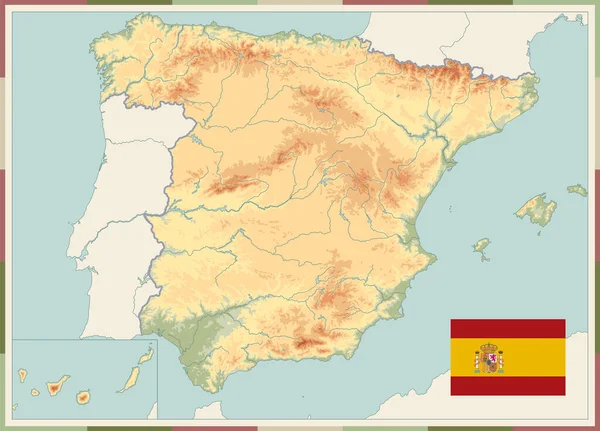
Spain Physical Map Old Colors. No text. All elements are separated in editable layers clearly labeled. Vector illustration.
Spain Physical Map Old Colors Text All Elements Separated Editable — Stock Vector
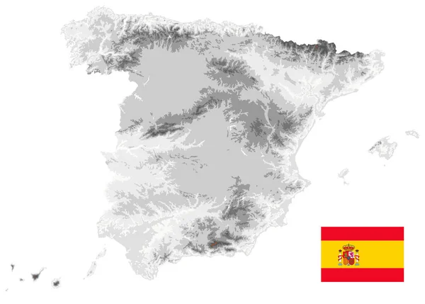
Spain Physical Map White and Gray Colors Isolated On White. Empty map. All elements are separated in editable layers clearly labeled. Vector illustration.
Spain Physical Map White Gray Colors Isolated White Empty Map — Stock Vector

Similar Stock Videos:
US State Nebraska map highlighted in Nebraska flag colors and pin of country capital Lincoln, map with neighboring States.
State Nebraska Map Highlighted Nebraska Flag Colors Pin Country Capital — Stock Video
Kazakhstan map highlighted in Kazakhstan flag colors and pin of country capital Nur-Sultan, map with neighboring Asian countries.
Kazakhstan Map Highlighted Kazakhstan Flag Colors Pin Country Capital Nur — Stock Video
3d animated map showing the state of Nederland from the united state of america. 2d map of Nederland. 4k
3d animated map showing the state of Nederland from the united state of america. 2d map of Nederland. — Stock Video
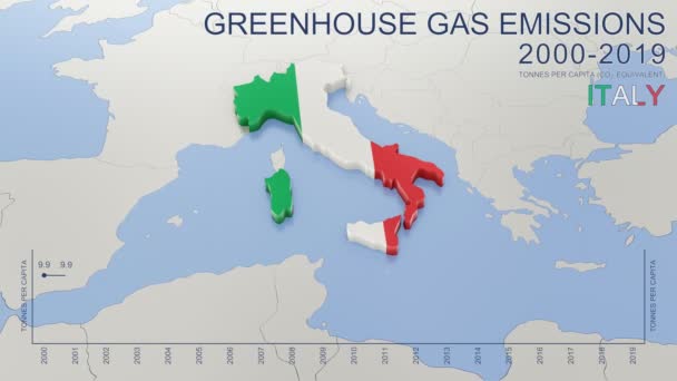
Greenhouse gas emissions in Italy from 2000 to 2019. Values in tonnes per capita (CO2 equivalent). Source data: Eurostat. 3D rendering loop able video with 4K resolution.
Greenhouse Gas Emissions Italy 2000 2019 Values Tonnes Capita Co2 — Stock Video
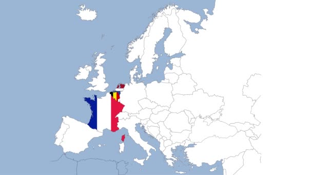
France map highlighted in France flag colors and pin of country capital Paris, map with neighboring European countries.
France Map Highlighted France Flag Colors Pin Country Capital Paris — Stock Video
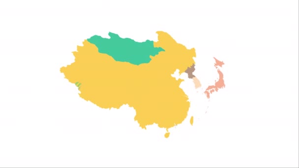
Animation of the map of East Asia region
Animation of the map of East Asia — Stock Video
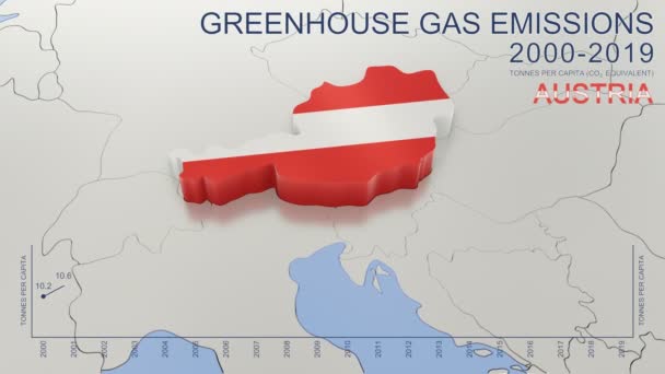
Greenhouse gas emissions in Austria from 2000 to 2019. Values in tonnes per capita (CO2 equivalent). Source data: Eurostat. 3D rendering loop able video with 4K resolution.
Greenhouse Gas Emissions Austria 2000 2019 Values Tonnes Capita Co2 — Stock Video
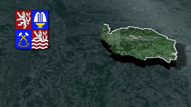
Regions of the Czech Republic Karlovy Vary whit Coat of arms animation map
Regions Czech Republic Karlovy Vary Whit Coat Arms Animation Map — Stock Video
Bulgaria map highlighted in Bulgaria flag colors and pin of country capital Sofia, map with neighboring European countries.
Bulgaria Map Highlighted Bulgaria Flag Colors Pin Country Capital Sofia — Stock Video
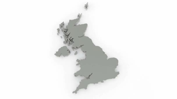
Three-dimensional map of England. 3d
Three-dimensional map of England. — Stock Video
Canada map highlighted in Canada flag colors and pin of country capital Ottawa, map with neighboring American countries.
Canada Map Highlighted Canada Flag Colors Pin Country Capital Ottawa — Stock Video
Regions of Senegal geographic map
Regions Senegal Geographic Map — Stock Video
The 28 countries of the European Union and their flags
The 28 countries of the European Union and their flags — Stock Video
Flag of Russia - different types Russia-Flag. Motion graphics. . High quality 4k footage
Flag of Russia - different types Russia-Flag. Motion graphics. — Stock Video
Finland map highlighted in Finland flag colors and pin of country capital Helsinki, map with neighboring European countries.
Finland Map Highlighted Finland Flag Colors Pin Country Capital Helsinki — Stock Video
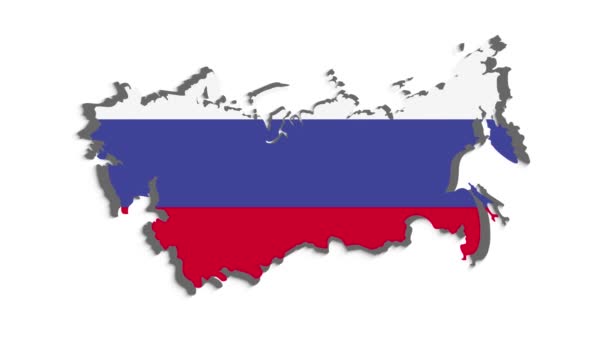
Russia map highlighted in Russia flag colors and pin of country capital Moscow, map with neighboring European countries.
Russia Map Highlighted Russia Flag Colors Pin Country Capital Moscow — Stock Video
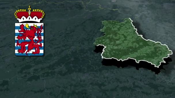
Provinces of Belgium Luxembourg whit Coat of arms animation map
Provinces Belgium Luxembourg Whit Coat Arms Animation Map — Stock Video
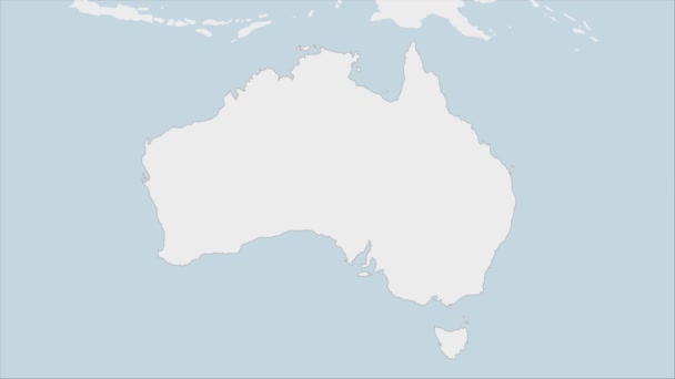
Australia map highlighted in Australia flag colors and pin of country capital Canberra, map with neighboring Oceanian countries.
Australia Map Highlighted Australia Flag Colors Pin Country Capital Canberra — Stock Video

Usage Information

You can use this royalty-free vector image "Portugal Physical Map Isolated on White. No text" for personal and commercial purposes according to the Standard or Extended License. The Standard License covers most use cases, including advertising, UI designs, and product packaging, and allows up to 500,000 print copies. The Extended License permits all use cases under the Standard License with unlimited print rights and allows you to use the downloaded vector files for merchandise, product resale, or free distribution.

This stock vector image is scalable to any size. You can buy and download it in high resolution up to 2368x3942. Upload Date: Apr 24, 2019