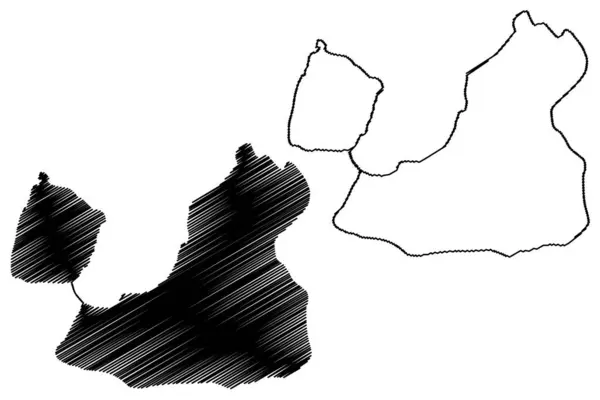
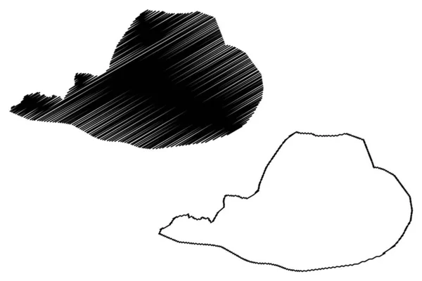
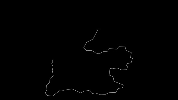
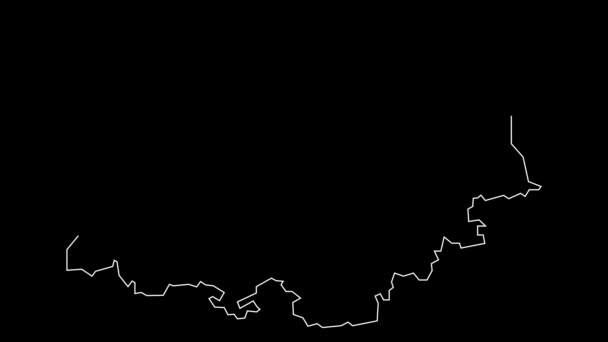
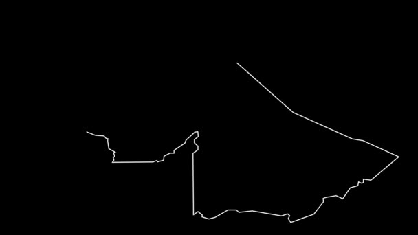
Prince Edward Islands Republic South Africa Rsa Map Vector Illustration — Stock Vector

Prince Edward Islands ( Republic of South Africa, RSA) map vector illustration, scribble sketch Prince Edward Islands (Marion Island and Prince Edward Island) map — Vector

Prince Edward Islands ( Republic of South Africa, RSA) map vector illustration, scribble sketch Prince Edward Islands (Marion Island and Prince Edward Island) map

 — Vector by Danler

Same Series:

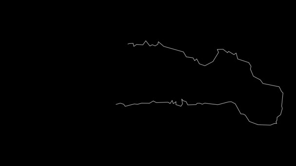
Lake Estanys de Baiau and Alins (Kingdom of Spain) map vector illustration, scribble sketch map
Lake Estanys Baiau Alins Kingdom Spain Map Vector Illustration Scribble — Stock Vector
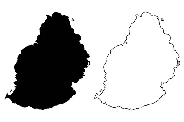
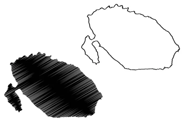
Mauritius Island map vector illustration, scribble sketch Mauritius
Mauritius Island map vector — Stock Vector
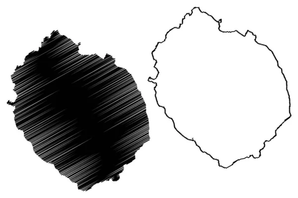
Rishiri island (Japan, East Asia, Japanese archipelago) map vector illustration, scribble sketch Rishiri map
Rishiri Island Japan East Asia Japanese Archipelago Map Vector Illustration — Stock Vector
Corozal municipality (Commonwealth of Puerto Rico, Porto Rico, PR, Unincorporated territories of the United States) map vector illustration, scribble sketch Corozal map
Corozal municipality (Commonwealth of Puerto Rico, Porto Rico, PR, Unincorporated territories of the United States) map vector illustration, scribble sketch Corozal map — Stock Vector
La Ronciere island (Russia, Russian Federation, Franz Josef Land archipelago) map vector illustration, scribble sketch Ronser or Whitney Island map
Ronciere Island Russia Russian Federation Franz Josef Land Archipelago Map — Stock Vector
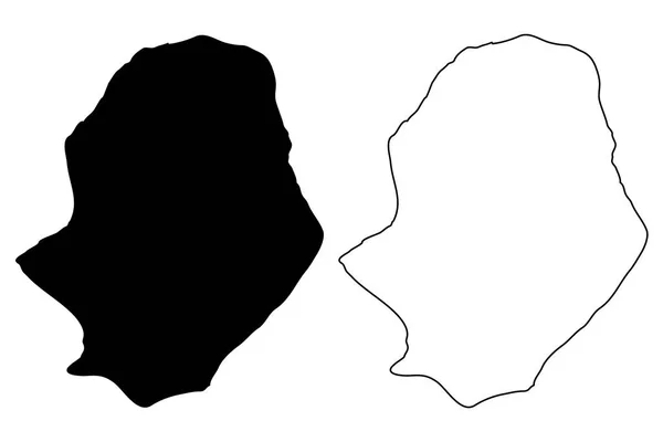
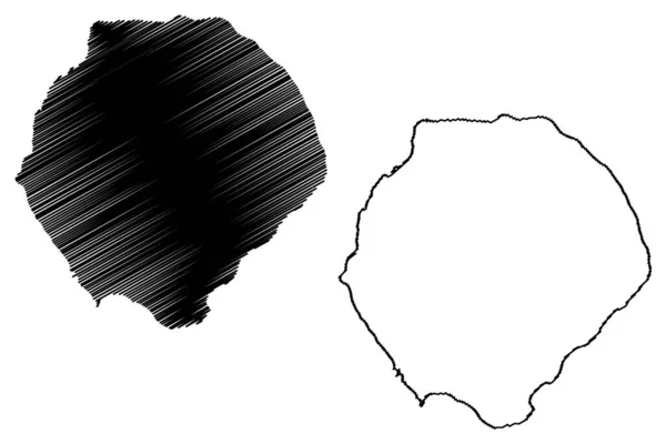
Niue map vector illustration, scribble sketch Independent Niue island
Niue map vector — Stock Vector
Djelfa City (People's Democratic Republic of Algeria, Djelfa Province) map vector illustration, scribble sketch City of Djelfa map
Djelfa City People Democratic Republic Algeria Djelfa Province Map Vector — Stock Vector
Bioko Sur (Republic of Equatorial Guinea, Provinces of Equatorial Guinea) map vector illustration, scribble sketch Bioko Sur Province (Bioko island) map
Bioko Sur (Republic of Equatorial Guinea, Provinces of Equatorial Guinea) map vector illustration, scribble sketch Bioko Sur Province (Bioko island) map — Stock Vector
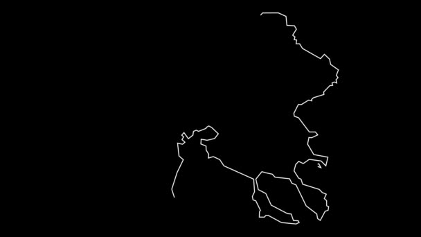
Bosnian-Podrinje Canton (BiH, Federation of Bosnia and Herzegovina, FBiH) map vector illustration, scribble sketch Bosnian Podrinje map
Bosnian-Podrinje Canton (BiH, Federation of Bosnia and Herzegovina, FBiH) map vector illustration, scribble sketch Bosnian Podrinje map — Stock Vector
Tafea Province (Republic of Vanuatu, archipelago) map vector illustration, scribble sketch Tanna, Aniwa, Futuna, Erromango, Anatom island map
Tafea Province Republic Vanuatu Archipelago Map Vector Illustration Scribble Sketch — Stock Vector
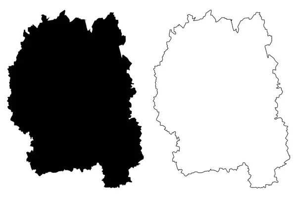
Zhytomyr Oblast (Administrative divisions of Ukraine, Oblasts of Ukraine) map vector illustration, scribble sketch Zhytomyrshchyna map
Zhytomyr Oblast map vecto — Stock Vector
Bouake City (Ivory Coast, Republic of Cote d'Ivoire, Vallee du Bandama District) map vector illustration, scribble sketch City of Bwake map
Bouake City Ivory Coast Republic Cote Ivoire Vallee Bandama District — Stock Vector
Porto-Novo City (Republic of Benin, Oueme Department) map vector illustration, scribble sketch City of Porto Novo, Hogbonu or Ajashe map
Porto Novo City Republic Benin Oueme Department Map Vector Illustration — Stock Vector
Froson island (Kingdom of Sweden) map vector illustration, scribble sketch map
Froson Island Kingdom Sweden Map Vector Illustration Scribble Sketch Map — Stock Vector
Tristan da Cunha island (United Kingdom of Great Britain and Northern Ireland, Constituent part of Saint Helena, Ascension and Tristan da Cunha) map vector illustration, scribble sketch Tristan map
Tristan Cunha Island United Kingdom Great Britain Northern Ireland Constituent — Stock Vector
Aba City (Federal Republic of Nigeria, Abia State) map vector illustration, scribble sketch City of Abia map
Aba City Federal Republic Nigeria Abia State Map Vector Illustration — Stock Vector

Usage Information

You can use this royalty-free vector image "Prince Edward Islands ( Republic of South Africa, RSA) map vector illustration, scribble sketch Prince Edward Islands (Marion Island and Prince Edward Island) map" for personal and commercial purposes according to the Standard or Extended License. The Standard License covers most use cases, including advertising, UI designs, and product packaging, and allows up to 500,000 print copies. The Extended License permits all use cases under the Standard License with unlimited print rights and allows you to use the downloaded vector files for merchandise, product resale, or free distribution.

This stock vector image is scalable to any size. You can buy and download it in high resolution up to 7087x4726. Upload Date: Feb 15, 2019