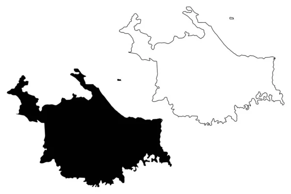
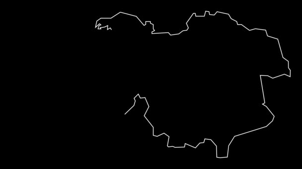
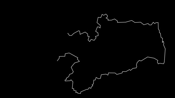
Salvador City Federative Republic Brazil Bahia State Map Vector Illustration — Stock Vector

Salvador City (Federative Republic of Brazil, Bahia State) map vector illustration, scribble sketch City of Sao Salvador da Bahia de Todos os Santos map — Vector

Salvador City (Federative Republic of Brazil, Bahia State) map vector illustration, scribble sketch City of Sao Salvador da Bahia de Todos os Santos map

 — Vector by Danler

Same Series:

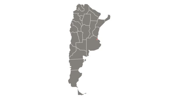
Manaus City (Federative Republic of Brazil, Amazonas State) map vector illustration, scribble sketch City of Manaus map
Manaus City Federative Republic Brazil Amazonas State Map Vector Illustration — Stock Vector
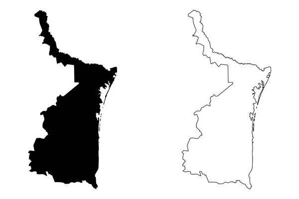
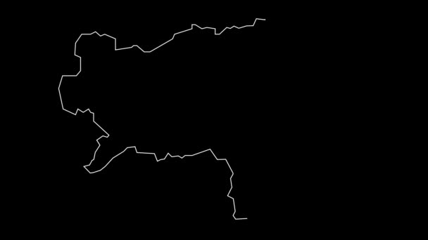
Tamaulipas (United Mexican States, Mexico, federal republic) map vector illustration, scribble sketch Free and Sovereign State of Tamaulipas map
Tamaulipas United Mexican States Mexico Federal Republic Map Vector Illustration — Stock Vector
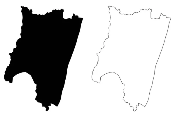
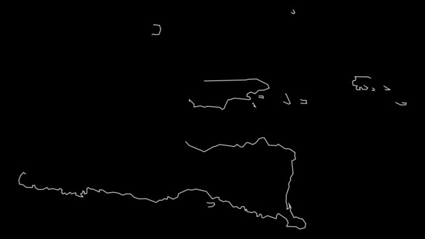
Westmoreland County, Commonwealth of Virginia (U.S. county, United States of America, USA, U.S., US) map vector illustration, scribble sketch Westmoreland map
Westmoreland County Commonwealth Virginia County United States America Usa Map — Stock Vector
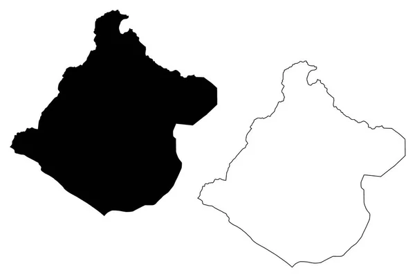
Fianarantsoa Province (Provinces of Madagascar, Republic of Madagascar) map vector illustration, scribble sketch Fianarantsoa map
Fianarantsoa Province map vecto — Stock Vector
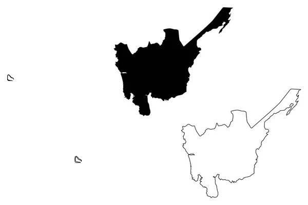
Suffolk (United Kingdom, England, Non-metropolitan county, shire county) map vector illustration, scribble sketch Suffolk map
Suffolk United Kingdom England Non Metropolitan County Shire County Map — Stock Vector
Amapa (Region of Brazil, Federated state, Federative Republic of Brazil) map vector illustration, scribble sketch Amapa map
Amapa Region Brazil Federated State Federative Republic Brazil Map Vector — Stock Vector
Department of Tacna (Republic of Peru, Regions of Peru) map vector illustration, scribble sketch Tacna map
Department of Tacna map vecto — Stock Vector
Central Luzon (Regions and provinces of the Philippines, Republic of the Philippines) map vector illustration, scribble sketch Region III map
Central Luzon Regions Provinces Philippines Republic Philippines Map Vector Illustration — Stock Vector
Ngabe-Bugle Comarca Province (Republic of Panama, Provinces of Panama) map vector illustration, scribble sketch Ngabe Bugle map
Ngabe-Bugle Comarca Province (Republic of Panama, Provinces of Panama) map vector illustration, scribble sketch Ngabe Bugle map — Stock Vector
Merida State (Bolivarian Republic of Venezuela, States, Federal Dependencies and Capital District) map vector illustration, scribble sketch Bolivarian State of Merida map
Merida State map vecto — Stock Vector
Surabaya City (Republic of Indonesia, Java island) map vector illustration, scribble sketch City of Surabaya map
Surabaya City Republic Indonesia Java Island Map Vector Illustration Scribble — Stock Vector
Ikskile Municipality (Republic of Latvia, Administrative divisions of Latvia, Municipalities and their territorial units) map vector illustration, scribble sketch Ikskile map
Ikskile Municipality Republic Latvia Administrative Divisions Latvia Municipalities Territorial Units — Stock Vector
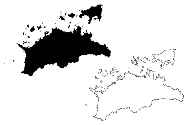
Kagawa Prefecture (Administrative divisions of Japan, Prefectures of Japan) map vector illustration, scribble sketch Kagawa map
Kagawa Prefecture Administrative Divisions Japan Prefectures Japan Map Vector Illustration — Stock Vector
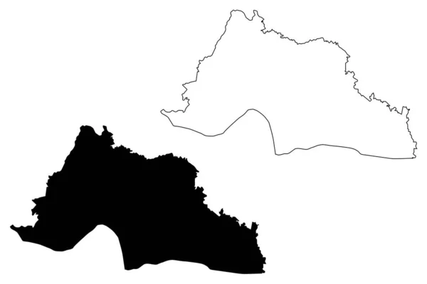
Grand Gedeh County (Counties of Liberia, Republic of Liberia) map vector illustration, scribble sketch Grand Gedeh map
Grand Gedeh County (Counties of Liberia, Republic of Liberia) map vector illustration, scribble sketch Grand Gedeh map — Stock Vector
Henderson County, North Carolina State (U.S. county, United States of America, USA, U.S., US) map vector illustration, scribble sketch Henderson map
Henderson County North Carolina State County United States America Usa — Stock Vector
Abyan Governorate (Governorates of Yemen, Republic of Yemen) map vector illustration, scribble sketch Abyan map
Abyan Governorate map vecto — Stock Vector

Usage Information

You can use this royalty-free vector image "Salvador City (Federative Republic of Brazil, Bahia State) map vector illustration, scribble sketch City of Sao Salvador da Bahia de Todos os Santos map" for personal and commercial purposes according to the Standard or Extended License. The Standard License covers most use cases, including advertising, UI designs, and product packaging, and allows up to 500,000 print copies. The Extended License permits all use cases under the Standard License with unlimited print rights and allows you to use the downloaded vector files for merchandise, product resale, or free distribution.

This stock vector image is scalable to any size. You can buy and download it in high resolution up to 7087x4726. Upload Date: Jul 29, 2020