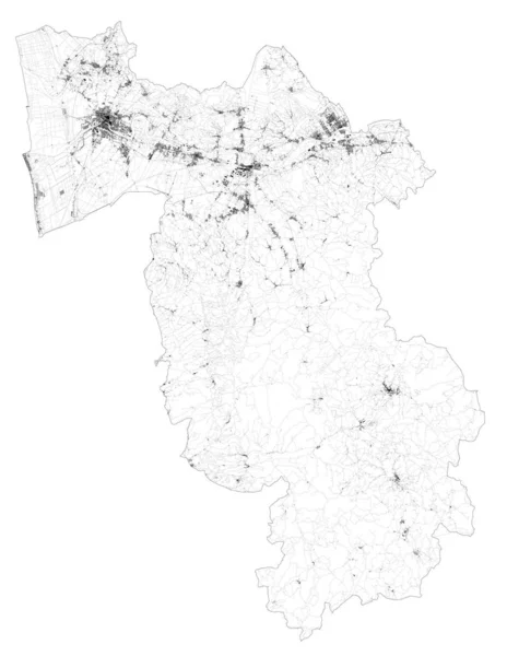
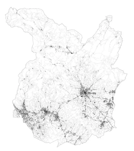
Satellite Map Province Isernia Towns Roads Buildings Connecting Roads Surrounding — Stock Vector

Satellite map of Province of Isernia towns and roads, buildings and connecting roads of surrounding areas. Molise region, Italy. Map roads, ring roads — Vector

Satellite map of Province of Isernia towns and roads, buildings and connecting roads of surrounding areas. Molise region, Italy. Map roads, ring roads

 — Vector by vampy1

Same Series:

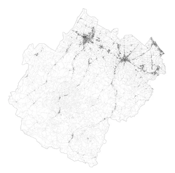
Satellite map of Province of Forli-Cesena towns and roads, buildings and connecting roads of surrounding areas. Emilia-Romagna region, Italy. Map roads, ring roads
Satellite Map Province Forli Cesena Towns Roads Buildings Connecting Roads — Stock Vector
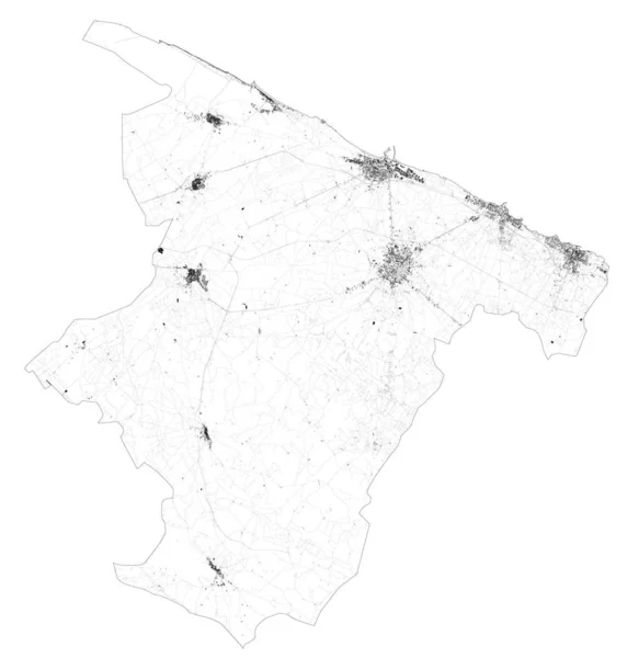
Satellite map of Province of Barletta-Andria-Trani towns and roads, buildings and connecting roads of surrounding areas. Puglia region, Italy. Map roads, ring roads
Satellite Map Province Barletta Andria Trani Towns Roads Buildings Connecting — Stock Vector
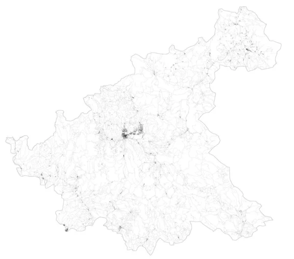
Satellite map of Province of Rieti towns and roads, buildings and connecting roads of surrounding areas. Lazio region, Italy. Map roads, ring roads
Satellite Map Province Rieti Towns Roads Buildings Connecting Roads Surrounding — Stock Vector
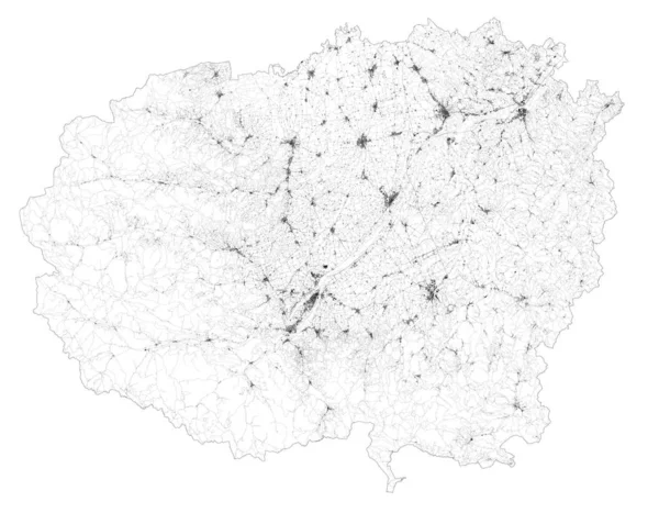
Satellite map of province of Cuneo, towns and roads, buildings and connecting roads of surrounding areas. Piedmont, Italy. Map roads, ring roads
Satellite Map Province Cuneo Towns Roads Buildings Connecting Roads Surrounding — Stock Vector
Satellite map of province of Pisa, towns and roads, buildings and connecting roads of surrounding areas. Tuscany, Italy. Map roads, ring roads
Satellite Map Province Pisa Towns Roads Buildings Connecting Roads Surrounding — Stock Vector
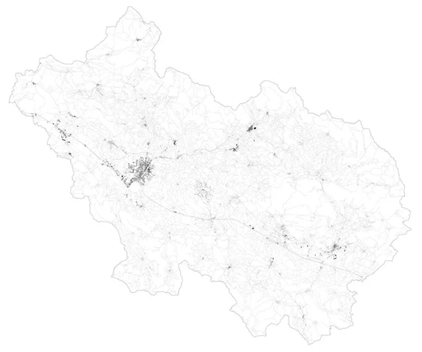
Satellite map of Province of Frosinone, towns and roads, buildings and connecting roads of surrounding areas. Lazio region, Italy. Map roads, ring roads
Satellite Map Province Frosinone Towns Roads Buildings Connecting Roads Surrounding — Stock Vector
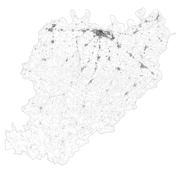
Satellite map of Province of Piacenza towns and roads, buildings and connecting roads of surrounding areas. Emilia-Romagna region, Italy. Map roads, ring roads
Satellite Map Province Piacenza Towns Roads Buildings Connecting Roads Surrounding — Stock Vector
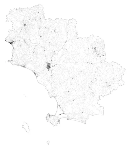
Satellite map of province of Grosseto, towns and roads, buildings and connecting roads of surrounding areas. Tuscany, Italy. Map roads, ring roads
Satellite Map Province Grosseto Towns Roads Buildings Connecting Roads Surrounding — Stock Vector
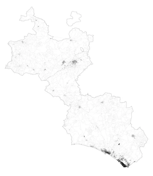
Satellite map of Province of Caltanissetta towns and roads, buildings and connecting roads of surrounding areas. Sicily region, Italy. Sicilia. Map roads, ring roads
Satellite Map Province Caltanissetta Towns Roads Buildings Connecting Roads Surrounding — Stock Vector
Satellite map of province of Verbano-Cusio-Ossola, towns and roads, buildings and connecting roads of surrounding areas. Piedmont, Italy. Map roads, ring roads
Satellite Map Province Verbano Cusio Ossola Towns Roads Buildings Connecting — Stock Vector
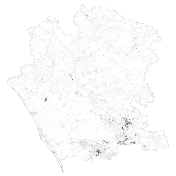
Satellite map of Province of Caserta towns and roads, buildings and connecting roads of surrounding areas. Campania region, Italy. Map roads, ring roads
Satellite Map Province Caserta Towns Roads Buildings Connecting Roads Surrounding — Stock Vector
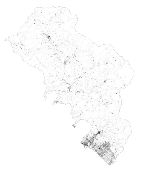
Satellite map of province of Massa-Carrara, towns and roads, buildings and connecting roads of surrounding areas. Tuscany, Italy. Map roads, ring roads
Satellite Map Province Massa Carrara Towns Roads Buildings Connecting Roads — Stock Vector
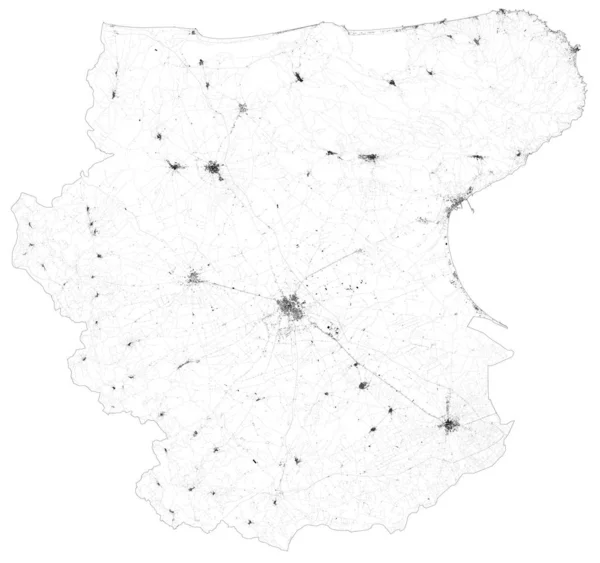
Satellite map of Province of Foggia towns and roads, buildings and connecting roads of surrounding areas. Puglia region, Italy. Map roads, ring roads
Satellite Map Province Foggia Towns Roads Buildings Connecting Roads Surrounding — Stock Vector
Satellite map of province of Pistoia, towns and roads, buildings and connecting roads of surrounding areas. Tuscany, Italy. Map roads, ring roads
Satellite Map Province Pistoia Towns Roads Buildings Connecting Roads Surrounding — Stock Vector
Satellite map of Province of Sassari towns and roads, buildings and connecting roads of surrounding areas. Sardinia region, Italy. Sardegna. Map roads, ring roads
Satellite Map Province Sassari Towns Roads Buildings Connecting Roads Surrounding — Stock Vector
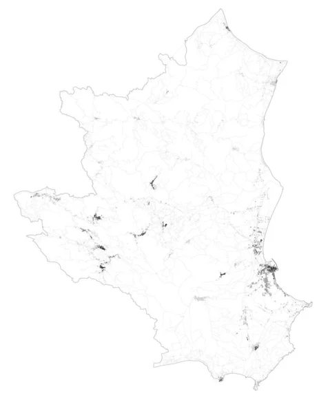
Satellite map of Province of Crotone towns and roads, buildings and connecting roads of surrounding areas. Calabria region, Italy. Map roads, ring roads
Satellite Map Province Crotone Towns Roads Buildings Connecting Roads Surrounding — Stock Vector

Similar Stock Videos:
3D animation map on a background
Animation Map Background — Stock Video
Sicily Island Map Animation Footage 4K, Historical Urbanisation, Data driven Visualisation
Sicily Island Map Animation Footage 4K Loop — Stock Video
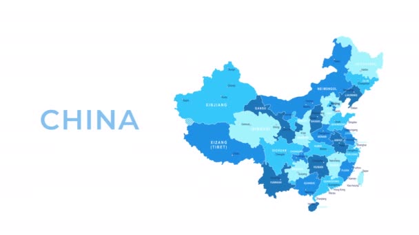
China Map - Motion Graphic Cartoon Animation Footage. 4K Resolution Video. Transparency Alpha Channel Included. White Background
China Map Motion Graphic Cartoon Animation Footage Resolution Video Transparency — Stock Video
3D animation map on a background
Animation Map Background — Stock Video
Canada Map Showing Up Intro By Regions 4k animated Canada map intro background with countries appearing and fading one by one and camera movement.
Canada Map Showing Up Intro By Regions 4k animated Canada map intro background with countries appearing and fading one by one and camera movement — Stock Video
Drawing a Random Walk Pattern Around Frame
Drawing Random Walk Pattern Frame — Stock Video
Italy Map Showing Up Intro By Regions 4k animated Italy map intro background with countries appearing and fading one by one and camera movement.
Italy Map Showing Up Intro By Regions 4k animated Italy map intro background with countries appearing and fading one by one and camera movement — Stock Video
Japan Map Showing Up Intro By Regions 4k animated Japan map intro background with countries appearing and fading one by one and camera movement.
Japan Map Showing Up Intro By Regions 4k animated Japan map intro background with countries appearing and fading one by one and camera movement — Stock Video
Bosnia Herzegovina with flag on world map
Bosnia Herzegovina with flag on world map — Stock Video
China Map Showing Up Intro By Regions 4k animated China map intro background with countries appearing and fading one by one and camera movement.
China Map Showing Up Intro By Regions 4k animated China map intro background with countries appearing and fading one by one and camera movement — Stock Video
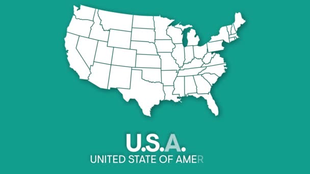
Map of United States of America showing different states. Animated usa contiguous lower 48 u.s. state map on an isolated chroma key background. 4K animation
Map of United States of America showing different states. Animated usa contiguous lower 48 u.s. state map on an isolated chroma key background. — Stock Video
Canada Map - Motion Graphic Cartoon Animation Footage. 4K Resolution Video. Transparency Alpha Channel Included. White Background
Canada Map Motion Graphic Cartoon Animation Footage Resolution Video Transparency — Stock Video
Bulgaria drawing coloured map isolated on white background
Bulgaria drawing coloured map isolated on white — Stock Video
Poppy flower line art. Minimalist contour drawing. One line artwork.
Poppy Flower Line Art Minimalist Contour Drawing One Line Artwork — Stock Video
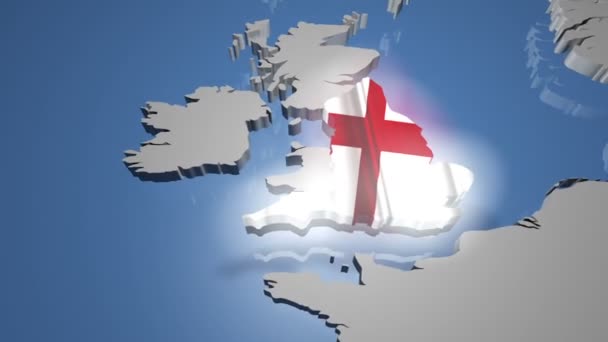
England with flag on world map
England with flag on world map — Stock Video
Watercolor animated map showing the state of Michigan from the united state of American. 2d map of Michigan. 4k Motion graphics.
Watercolor animated map showing the state of Michigan from the united state of American. 2d map of Michigan. — Stock Video
3D animation map on a background
Animation Map Background — Stock Video
Saudi Arabia Map Showing Up Intro By Regions 4k animated Russia map intro background with countries appearing and fading one by one and camera movement.
Saudi Arabia Map Showing Up Intro By Regions 4k animated Russia map intro background with countries appearing and fading one by one and camera movement — Stock Video

Usage Information

You can use this royalty-free vector image "Satellite map of Province of Isernia towns and roads, buildings and connecting roads of surrounding areas. Molise region, Italy. Map roads, ring roads" for personal and commercial purposes according to the Standard or Extended License. The Standard License covers most use cases, including advertising, UI designs, and product packaging, and allows up to 500,000 print copies. The Extended License permits all use cases under the Standard License with unlimited print rights and allows you to use the downloaded vector files for merchandise, product resale, or free distribution.

This stock vector image is scalable to any size. You can buy and download it in high resolution up to 8941x10435. Upload Date: Jan 3, 2020