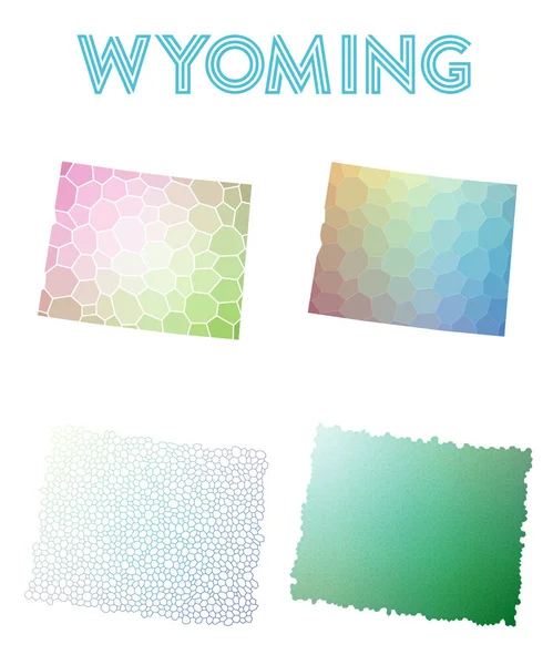
Set of vector polygonal Wyoming maps. — Stock Vector

Set of vector polygonal Wyoming maps. — Vector

Set of vector polygonal Wyoming maps. Bright gradient map of the US state in low poly style. Multicolored Wyoming map in geometric style for your infographics.

 — Vector by gagarych

Same Series:

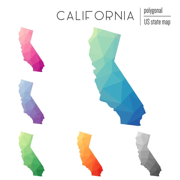
Set of vector polygonal California maps. Bright gradient map of the US state in low poly style. Multicolored California map in geometric style for your infographics.
Set of vector polygonal California maps. — Stock Vector
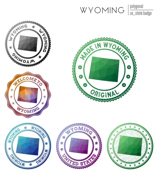
Wyoming badge. Colorful polygonal us state symbol. Multicolored geometric Wyoming logos set. Vector illustration.
Wyoming badge Colorful polygonal us state symbol Multicolored geometric Wyoming logos set Vector — Stock Vector
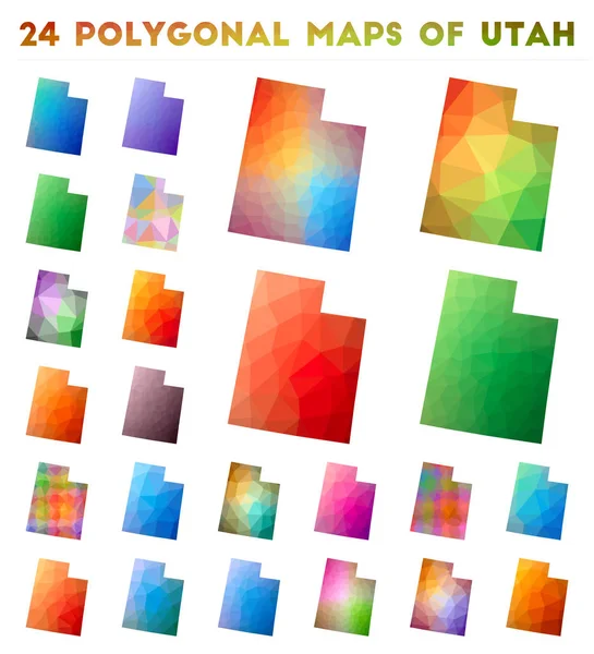
Set of vector polygonal maps of Utah. Bright gradient map of us state in low poly style. Multicolored Utah map in geometric style for your infographics.
Set of vector polygonal maps of Utah Bright gradient map of us state in low poly style — Stock Vector
Set of vector polygonal Minnesota maps. Bright gradient map of the US state in low poly style. Multicolored Minnesota map in geometric style for your infographics.
Set of vector polygonal Minnesota maps. — Stock Vector
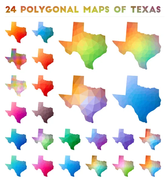
Set of vector polygonal maps of Texas. Bright gradient map of us state in low poly style. Multicolored Texas map in geometric style for your infographics.
Set of vector polygonal maps of Texas Bright gradient map of us state in low poly style — Stock Vector
Wyoming low poly sunburst set. Logo of us state in geometric polygonal style. Vector illustration.
Wyoming low poly sunburst set Logo of us state in geometric polygonal style Vector illustration — Stock Vector
Set of vector polygonal maps of California. Bright gradient map of us state in low poly style. Multicolored California map in geometric style for your infographics.
Set of vector polygonal maps of California Bright gradient map of us state in low poly style — Stock Vector
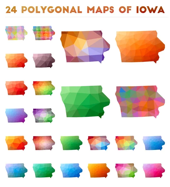
Set of vector polygonal maps of Iowa. Bright gradient map of us state in low poly style. Multicolored Iowa map in geometric style for your infographics.
Set of vector polygonal maps of Iowa Bright gradient map of us state in low poly style — Stock Vector
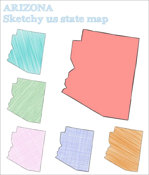
Arizona sketchy us state. Excellent hand drawn us state. Ideal childish style Arizona vector illustration.
Arizona sketchy us state Excellent hand drawn us state Ideal childish style Arizona vector — Stock Vector
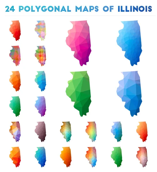
Set of vector polygonal maps of Illinois. Bright gradient map of us state in low poly style. Multicolored Illinois map in geometric style for your infographics.
Set of vector polygonal maps of Illinois Bright gradient map of us state in low poly style — Stock Vector
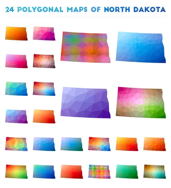
Set of vector polygonal maps of North Dakota. Bright gradient map of us state in low poly style. Multicolored North Dakota map in geometric style for your infographics.
Set of vector polygonal maps of North Dakota Bright gradient map of us state in low poly style — Stock Vector
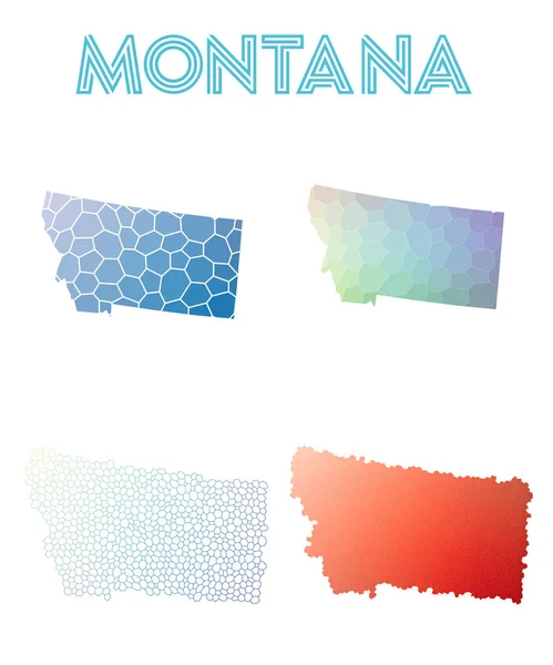
Montana polygonal us state map. Mosaic style maps collection. Bright abstract tessellation, geometric, low poly, modern design. Montana polygonal maps for infographics or presentation.
Montana polygonal us state map Mosaic style maps collection Bright abstract tessellation — Stock Vector
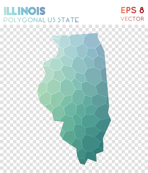
Illinois polygonal map, mosaic style us state. Uncommon low poly style, modern design. Illinois polygonal map for infographics or presentation.
Illinois polygonal map mosaic style us state Uncommon low poly style modern design Illinois — Stock Vector
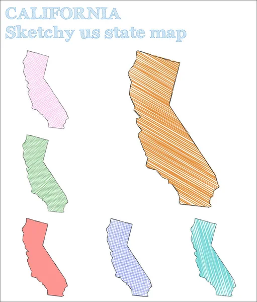
California sketchy us state. Exceptional hand drawn us state. Imaginative childish style California vector illustration.
California Sketchy State Exceptional Hand Drawn State Imaginative Childish Style — Stock Vector
Montana sketchy us state. Ideal hand drawn us state. Optimal childish style Montana vector illustration.
Montana sketchy us state Ideal hand drawn us state Optimal childish style Montana vector — Stock Vector
Wyoming polygonal us state map. Mosaic style maps collection. Bright abstract tessellation, geometric, low poly, modern design. Wyoming polygonal maps for infographics or presentation.
Wyoming polygonal us state map Mosaic style maps collection Bright abstract tessellation — Stock Vector

Similar Stock Videos:
Country map and flag of Korea drawing with chalk on a blackboard. 4K hand drawn animation. One of a large series of maps and flags of different countries. Education, travel, study abroad concept.
Korea. Chalk drawn and animated map with flag. — Stock Video
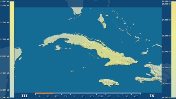
Solar radiation by month in the Cuba area with animated legend - raw color shader. Stereographic projection
Solar Radiation Month Cuba Area Animated Legend Raw Color Shader — Stock Video
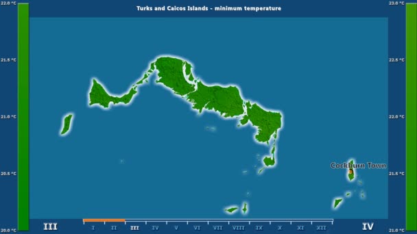
Minimum temperature by month in the Turks And Caicos Islands area with animated legend - English labels: country and capital names, map description. Stereographic projection
Minimum Temperature Month Turks Caicos Islands Area Animated Legend English — Stock Video
States of Nigeria - Geographic Maps
States Nigeria Geographic Maps — Stock Video
World animationmap - region - physical
World Animationmap Region Physical — Stock Video
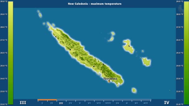
Maximum temperature by month in the New Caledonia area with animated legend - English labels: country and capital names, map description. Stereographic projection
Maximum Temperature Month New Caledonia Area Animated Legend English Labels — Stock Video
Prefectures of the Central African Republic
Prefectures Central African Republic — Stock Video
Regions of Senegal geographic map
Regions Senegal Geographic Map — Stock Video
States of Nigeria - Geographic Maps
States Nigeria Geographic Maps — Stock Video
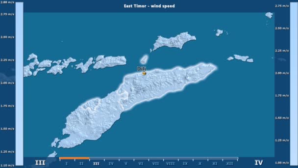
Wind speed by month in the East Timor area with animated legend - English labels: country and capital names, map description. Stereographic projection
Wind Speed Month East Timor Area Animated Legend English Labels — Stock Video
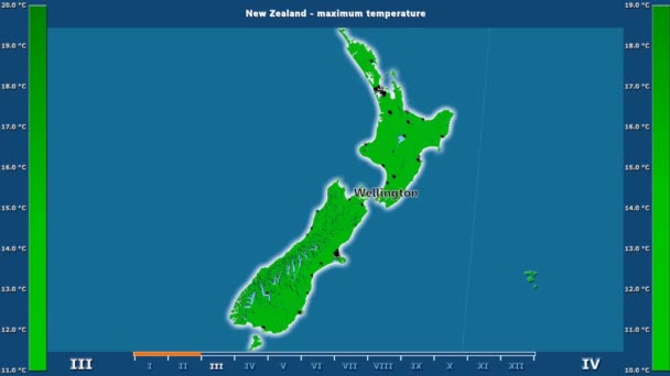
Maximum temperature by month in the New Zealand area with animated legend - English labels: country and capital names, map description. Stereographic projection
Maximum Temperature Month New Zealand Area Animated Legend English Labels — Stock Video
Water vapor pressure by month in the Philippines area with animated legend - raw color shader. Stereographic projection
Water Vapor Pressure Month Philippines Area Animated Legend Raw Color — Stock Video
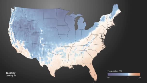
An extreme cold front moves into the American midwest.
Extreme Cold Front Moves American Midwest — Stock Video
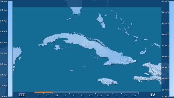
Wind speed by month in the Cuba area with animated legend - raw color shader. Stereographic projection
Wind Speed Month Cuba Area Animated Legend Raw Color Shader — Stock Video
Districts of Belize animation map
Districts Belize Animation Map — Stock Video
Average temperature by month in the Turks And Caicos Islands area with animated legend - English labels: country and capital names, map description. Stereographic projection
Average Temperature Month Turks Caicos Islands Area Animated Legend English — Stock Video
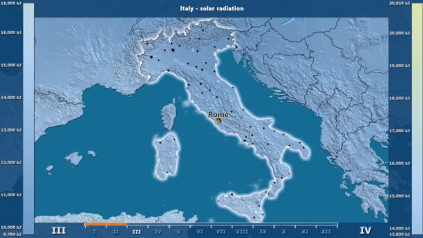
Solar radiation by month in the Italy area with animated legend - English labels: country and capital names, map description. Stereographic projection
Solar Radiation Month Italy Area Animated Legend English Labels Country — Stock Video
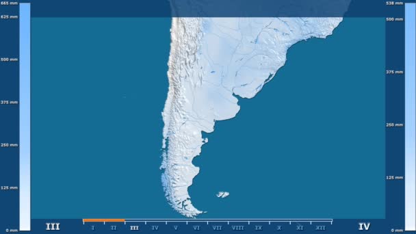
Precipitation by month in the Argentina area with animated legend - raw color shader. Stereographic projection
Precipitation Month Argentina Area Animated Legend Raw Color Shader Stereographic — Stock Video

Usage Information

You can use this royalty-free vector image "Set of vector polygonal Wyoming maps." for personal and commercial purposes according to the Standard or Extended License. The Standard License covers most use cases, including advertising, UI designs, and product packaging, and allows up to 500,000 print copies. The Extended License permits all use cases under the Standard License with unlimited print rights and allows you to use the downloaded vector files for merchandise, product resale, or free distribution.

This stock vector image is scalable to any size. You can buy and download it in high resolution up to 8333x8333. Upload Date: Sep 16, 2016