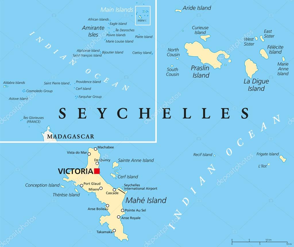
Seychelles Political Map — Stock Vector

Seychelles Political Map — Vector

Seychelles Political Map with capital Victoria, important cities and islands and an overview map of the whole archipelago. English labeling and scaling. Illustration.

 — Vector by Furian

Same Series:

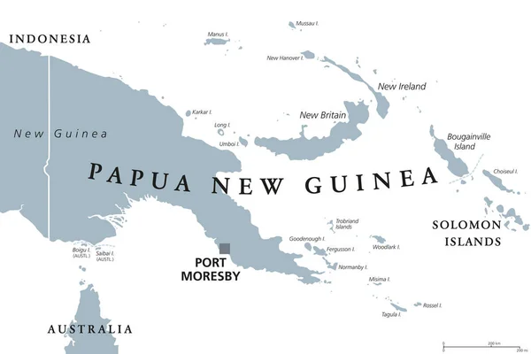
Political map of Papua New Guinea with capital Port Moresby, national borders, most important cities, rivers and lakes. Illustration with English labeling and scaling.
Papua New Guinea Political Map — Stock Vector
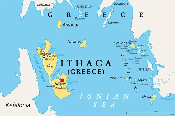
Ithaca, regional unit, political map. Part of Ionian Islands in Greece, with capital Vathy. Ithaca, Arkoudi, Atokos, and the Echinades islands Drakonera, Vromonas, Makri, Oxeia, Kalogiros and Kouneli.
Ithaca Regional Unit Political Map Part Ionian Islands Greece Capital — Stock Vector
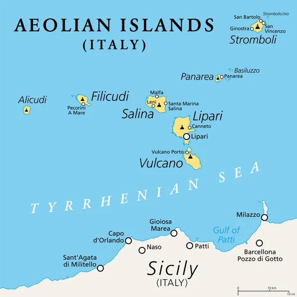
Aeolian Islands, Italia, political map. Volcanic archipelago in the Tyrrhenian Sea north of Sicily. Sometimes called Lipari Islands. Lipari, Vulcano, Salina, Stromboli, Filicudi, Alicudi and Panarea.
Aeolian Islands Italia Political Map Volcanic Archipelago Tyrrhenian Sea North — Stock Vector
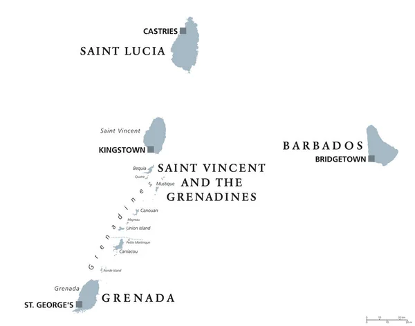
Barbados, Grenada, Saint Lucia, Saint Vincent and the Grenadines political map. Caribbean islands, part of Lesser Antilles and Windward Islands. Gray illustration over white. English labeling. Vector.
Barbados, Grenada, Saint Lucia, Saint Vincent political map — Stock Vector
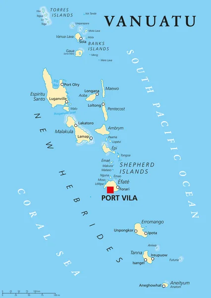
Vanuatu political map with capital Port Vila. Republic and island nation in South Pacific Ocean. New Hebrides with largest islands Espiritu Santo, Malakula and Efate. English labeling. Illustration.
Vanuatu Political Map — Stock Vector
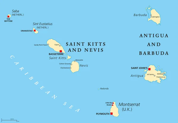
Saint Kitts And Nevis, Antigua And Barbuda, Montserrat, Saba and Sint Eustatius political map. Islands in the Caribbean Sea and parts of the Lesser Antilles. Illustration with English labeling. Vector
Saint Kitts, Nevis, Antigua, Barbuda and Montserrat political map — Stock Vector
Papua New Guinea political map with capital Port Moresby. English labeling. Independent state on eastern half of island of New Guinea with islands in Melanesia. Gray illustration over white. Vector.
Papua New Guinea political map — Stock Vector
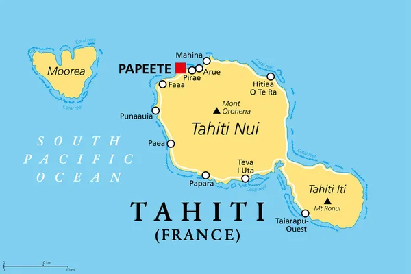
Tahiti, French Polynesia, political map. Largest island of the Windward group of the Society Islands, with capital Papeete. Overseas collectivity of France, located in the South Pacific Ocean. Vector.
Tahiti French Polynesia Political Map Largest Island Windward Group Society — Stock Vector
Grenada political map with capital St. Georges. Island Country and part of the Windward Islands and Lesser Antilles in the Caribbean Sea. English labeling and scaling. Illustration.
Grenada Political Map — Stock Vector
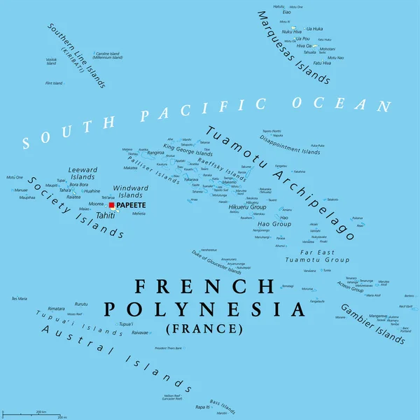
French Polynesia, political map. Overseas collectivity of France, and its sole overseas country, in the South Pacific Ocean, with 121 islands and atolls, and capital Papeete, on the island of Tahiti.
French Polynesia Political Map Overseas Collectivity France Its Sole Overseas — Stock Vector
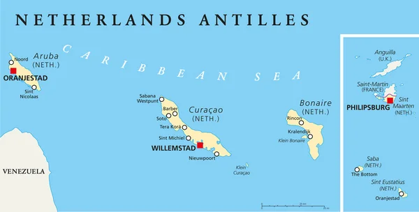
Netherlands Antilles Political Map. Aruba, Curacao, Bonaire, Sint Maarten, Saba and Sint Eustatius with capitals and important cities. English labeling and scaling. Illustration.
Netherlands Antilles Political Map — Stock Vector
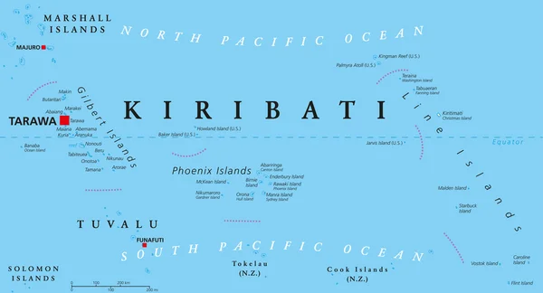
Kiribati political map with capital Tarawa. Republic and island nation in central Pacific Ocean. Archipelago with three main groups, Gilbert, Phoenix and Line Islands. English labeling. Illustration.
Kiribati Political Map — Stock Vector
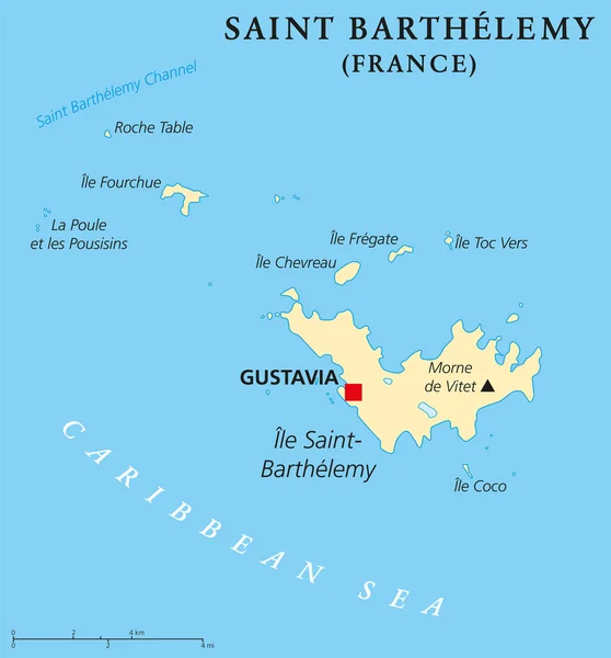
Saint Barthelemy political map with capital Gustavia, also called St. Barts or St. Barths is an overseas collectivity of France. English labeling and scaling. Illustration.
Saint Barthelemy Political Map — Stock Vector
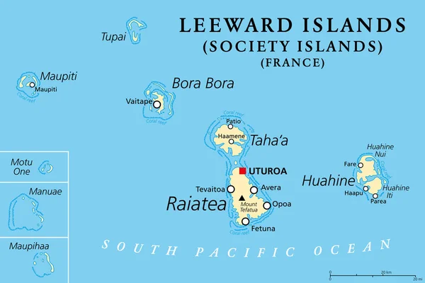
Leeward Islands, political map. Western part of the Society Islands in French Polynesia, an overseas collectivity of France in the South Pacific. Uturoa, on the largest island Raiatea, is the capital.
Leeward Islands Political Map Western Part Society Islands French Polynesia — Stock Vector
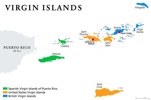
Virgin Islands map with political jurisdictions. British, Spanish and U.S. Virgin Islands in the Caribbean. British overseas territory and unincorporated territories of the USA. Illustration. Vector.
Virgin Islands Map Political Jurisdictions British Spanish Virgin Islands Caribbean — Stock Vector
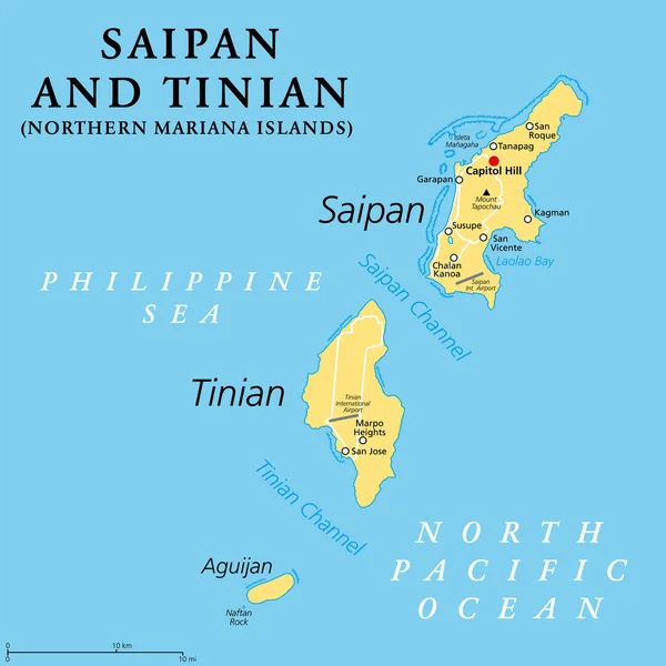
Saipan and Tinian, Northern Mariana Islands, political map. Islands of the Mariana Archipelago. Unincorporated territory and commonwealth of the United States, with administrative center Capitol Hill.
Saipan Tinian Northern Mariana Islands Political Map Islands Mariana Archipelago — Stock Vector

Similar Stock Videos:
Animated detailed map of Germany country
Animated detailed map of Germany — Stock Video
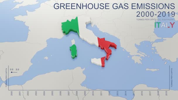
Greenhouse gas emissions in Italy from 2000 to 2019. Values in tonnes per capita (CO2 equivalent). Source data: Eurostat. 3D rendering loop able video with 4K resolution.
Greenhouse Gas Emissions Italy 2000 2019 Values Tonnes Capita Co2 — Stock Video
Animation of the map of East Asia region
Animation of the map of East Asia — Stock Video
Animation of the map of the USA
Animation of the map of the United States of America — Stock Video
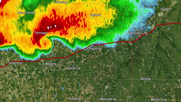
2016 Solomon/Abeline/Chapman, Kansas tornado event. Depicts radar imagery (reflectivity) taken by National Weather Service NEXRAD radar. There is an identical version WITH warning boxes available in our portfolio
2016 Solomon/Abilene/Chapman, KS Tornado Doppler Radar (Without Warn Boxes) — Stock Video
Thank You Word Cloud in vector format.(multi language translation: Thank you)
Thank You Word Cloud Vector Format Multi Language Translation Thank — Stock Video
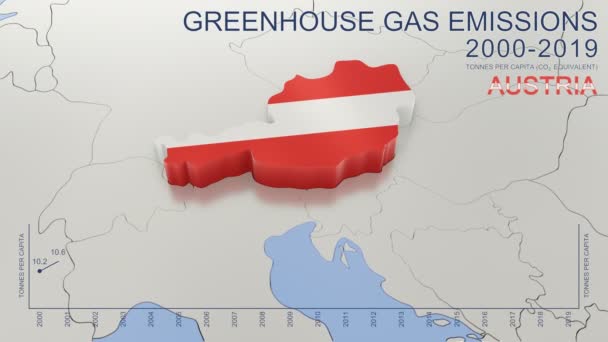
Greenhouse gas emissions in Austria from 2000 to 2019. Values in tonnes per capita (CO2 equivalent). Source data: Eurostat. 3D rendering loop able video with 4K resolution.
Greenhouse Gas Emissions Austria 2000 2019 Values Tonnes Capita Co2 — Stock Video
The division of Europe and Asia on the map. the city Ekaterinburg divides Europe and Asia. Eurasia on the map Animation. Eurasia. Yekaterinburg animation HD
The division of Europe and Asia on the map. the city Ekaterinburg divides Europe and Asia. Eurasia on the map Animation. Eurasia. Yekaterinburg animation — Stock Video
The plane takes off and land at the airport in the night and day. There are views from the windows and interior. Check out the runway, accelerate and take off into the night. View the wing against the sky.
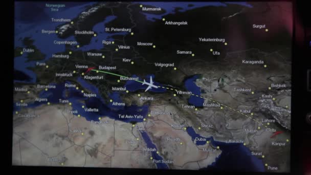
The plane takes off at the airport. Exterior and interior. People and flight attendant on the plane are going. The TV screen shows parameters of the flight. — Stock Video
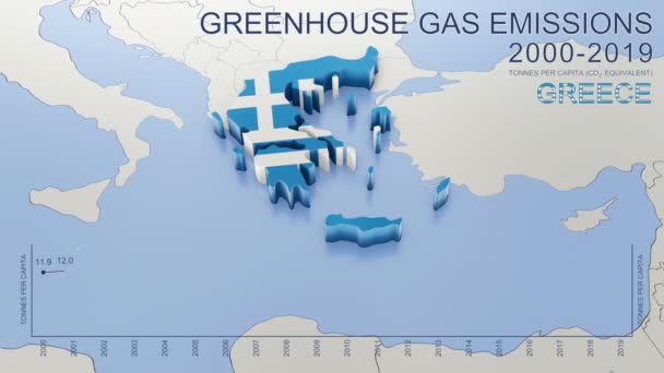
Greenhouse gas emissions in Greece from 2000 to 2019. Values in tonnes per capita (CO2 equivalent). Source data: Eurostat. 3D rendering loop able video with 4K resolution.
Greenhouse Gas Emissions Greece 2000 2019 Values Tonnes Capita Co2 — Stock Video
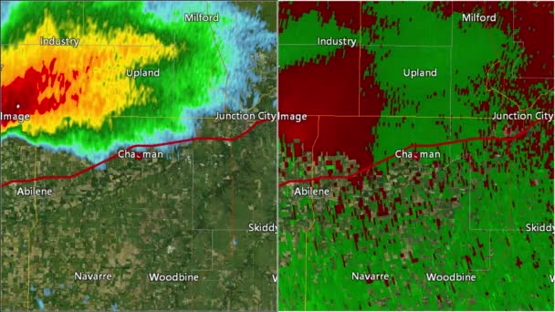
2016 Solomon/Abilene/Chapman, Kansas tornado. Depicts radar imagery (reflectivity) on the left, and base velocity (wind speed and direction) on the right. Taken by National Weather Service NEXRAD radar.
2016 Solomon/Abilene/Chapman, KS Tornado Doppler Radar (Split Screen) — Stock Video
Outline sketch of portrait cameraman steps with the camera on his shoulder isolated on white background. Silhouette. Side view.
Outline sketch of portrait cameraman steps with the camera on his shoulder isolated on white background. Silhouette. Side view — Stock Video
Abstract line animation Oregon State of USA on hexagon style. Oregon state. United States of America. Outline map of Oregon federal state highlighted from map of USA.
Abstract line animation Oregon State of USA on hexagon style. Oregon state. United States of America. Outline map of Oregon federal state highlighted from map of USA — Stock Video
Watercolor animated map showing the state of Arkansas from the united state of American. 2d map of Arkansas. 4k Motion graphics.
Watercolor animated map showing the state of Arkansas from the united state of American. 2d map of Arkansas. — Stock Video
Vintage American Map Animation With States Names/ 4k animation of a vintage textured american map background, with names of fifty states
Vintage American Map Animation States Names Animation Vintage Textured American — Stock Video
Light blue map of USA with cities and car roads on a dark blue background. 4K Animation with alpha channel
Light blue map of USA with cities and car roads on a dark blue background. — Stock Video
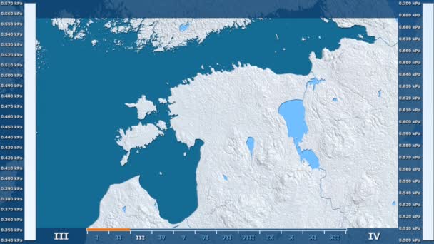
Water vapor pressure by month in the Estonia area with animated legend - raw color shader. Stereographic projection
Water Vapor Pressure Month Estonia Area Animated Legend Raw Color — Stock Video
World map 3d cartography China
World Map Cartography China — Stock Video

Usage Information

You can use this royalty-free vector image "Seychelles Political Map" for personal and commercial purposes according to the Standard or Extended License. The Standard License covers most use cases, including advertising, UI designs, and product packaging, and allows up to 500,000 print copies. The Extended License permits all use cases under the Standard License with unlimited print rights and allows you to use the downloaded vector files for merchandise, product resale, or free distribution.

This stock vector image is scalable to any size. You can buy and download it in high resolution up to 7144x6000. Upload Date: Nov 30, 2014