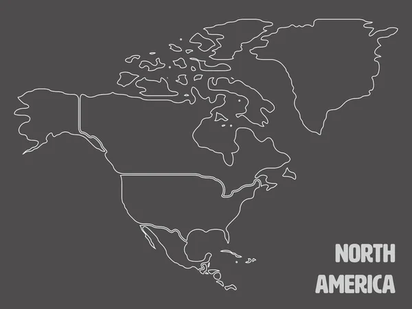
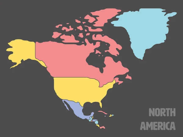
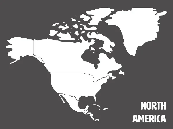
Smooth map of North America continent — Stock Vector

Smooth map of North America continent — Vector

Simplified schematic map of South America. Blank isolated continent political map of countries. Generalized and smoothed borders. Simple flat vector illustration

 — Vector by pyty

Same Series:

Simplified schematic map of South America. Blank isolated continent political map of countries. Generalized and smoothed borders. Simple flat vector illustration
Simplified Schematic Map South America Blank Isolated Continent Political Map — Stock Vector
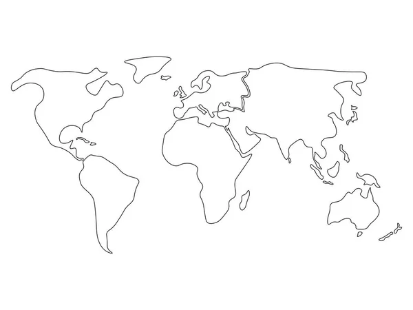
World map divided to six continents in black - North America, South America, Africa, Europe, Asia and Australia Oceania. Simplified black outline of blank vector map without labels.
Simplified world map divided to continents. Simple black outline. — Stock Vector
Blank outline map of World. Vector illustration.
Blank outline map of World. Vector illustration — Stock Vector
Political map of North America. Simplified black wireframe outline. Vector illustration.
Political map of North America. Simplified black wireframe outline. Vector illustration — Stock Vector
Simplified schematic map of South America. Blank isolated continent political map of countries. Generalized and smoothed borders. Simple flat vector illustration
Smooth map of North America continent — Stock Vector
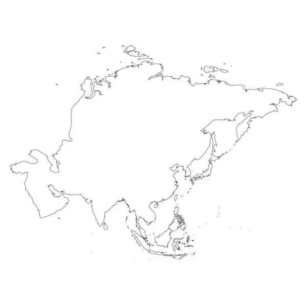
Asia thin black outline map. Contour map of continent. Simple flat vector illustration.
Asia thin black outline map. Contour map of continent. Simple flat vector illustration — Stock Vector
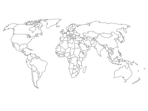
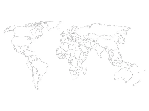
World map with country borders, thin black outline on white background. Simple high detail line vector wireframe.
World map with country borders, thin black outline on white background. Simple high detail line vector wireframe — Stock Vector
High detailed outline of world map with Antarctica. Simple thin black vector stroke on white background.
High detailed outline of world map with Antarctica. Simple thin black vector stroke on white background — Stock Vector
World map country border outline on white background. America centered map of World. Vector illustration.
World map country border outline on white background. America centered map of World. Vector illustration — Stock Vector
Simplified schematic map of South America. Blank isolated continent political map of countries. Generalized and smoothed borders. Simple flat vector illustration
Smooth map of North America continent — Stock Vector
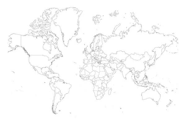
Map of World. Mercator projection. High detailed political map of countries and dependent territories. Simple flat vector illustration
Black outline political map of World. — Stock Vector
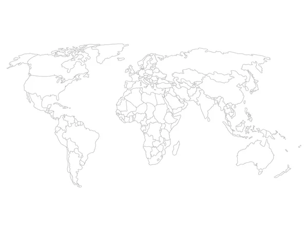
World map with smoothed country borders. Thin black outline on white background
World map with smoothed country borders — Stock Vector
World map with country borders, thin black outline on white background
World map with country borders — Stock Vector
Blank map of World with thin black smooth country borders on white background. Simplified flat vector illustation.
Blank world map with thin black smooth country borders on white background — Stock Vector
Outline map of World. Asia and Australia centered. Simple flat vector illustration.
Outline map of World. Asia and Australia centered. Simple flat vector illustration — Stock Vector
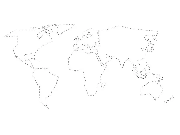
Simplified black dashed outline of world map divided to six continents. Simple flat vector illustration on white background.
Simplified black dashed outline of world map divided to six continents. Simple flat vector illustration on white background — Stock Vector

Similar Stock Videos:

Line map the national flag of Spain in stop motion effect. Spain2 flag brush strokes art background. High quality 4k footage
Line map the national flag of Spain in stop motion effect. Spain2 flag brush strokes art background. — Stock Video
Turkey Map Showing Up Intro By Regions 4k animated Turkey map intro background with countries appearing and fading one by one and camera movement.
Turkey Map Showing Up Intro By Regions 4k animated Turkey map intro background with countries appearing and fading one by one and camera movement — Stock Video
Line map the national flag of China in stop motion effect. China flag brush strokes art background. 4k
Line map the national flag of China in stop motion effect. China flag brush strokes art background. — Stock Video
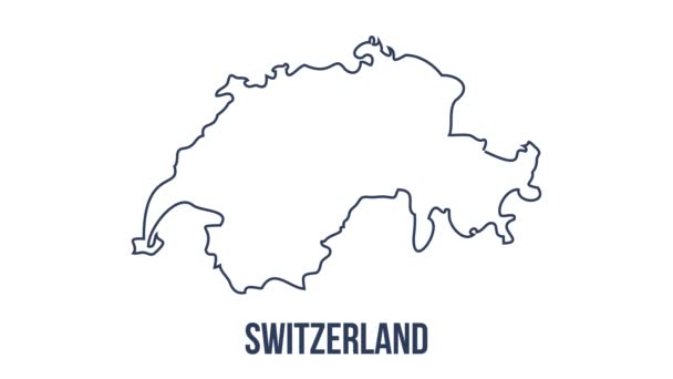
Line animated map showing the state of Switzerland from the united state of america. 2d map of Switzerland. 4k
Line animated map showing the state of Switzerland from the united state of america. 2d map of Switzerland. — Stock Video
Germany Map Showing Up Intro By Regions 4k animated Germany map intro background with countries appearing and fading one by one and camera movement.
Germany Map Showing Up Intro By Regions 4k animated Germany map intro background with countries appearing and fading one by one and camera movement — Stock Video
Line Flag of Poland - different types Poland Flag.
Line Flag of Poland - different types Poland Flag — Stock Video
Italy map hand draw
Italy map hand draw — Stock Video
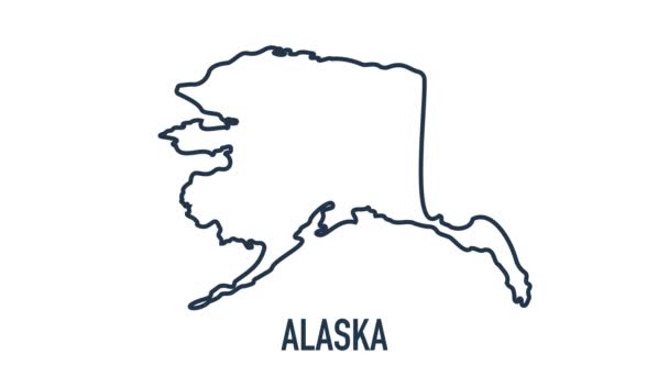
Line animated map showing the state of Alaska from the united state of america. 2d map of Alaska. 4k
Line animated map showing the state of Alaska from the united state of america. 2d map of Alaska. — Stock Video
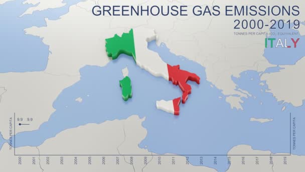
Greenhouse gas emissions in Italy from 2000 to 2019. Values in tonnes per capita (CO2 equivalent). Source data: Eurostat. 3D rendering loop able video with 4K resolution.
Greenhouse Gas Emissions Italy 2000 2019 Values Tonnes Capita Co2 — Stock Video
Animation of the map of East Asia region
Animation of the map of East Asia — Stock Video
Line map the national flag of Canada in stop motion effect. Canada flag brush strokes art background. 4k
Line map the national flag of Canada in stop motion effect. Canada flag brush strokes art background. — Stock Video
Thailand Map Showing Up Intro By Regions 4k animated Thailand map intro background with countries appearing and fading one by one and camera movement.
Thailand Map Showing Up Intro By Regions 4k animated Thailand map intro background with countries appearing and fading one by one and camera movement — Stock Video
Line animated map showing the state of India from the united state of america. 2d map of India. 4k
Line animated map showing the state of India from the united state of america. 2d map of India. — Stock Video
France Map Outline Country Border on white background. Appearance national flag of France. National flag shaped map French Republic. Footage. MP4. Six seconds.
France Map Outline Country Border White Background Appearance National Flag — Stock Video
Map of Kazakhstan, Kazakhstan outline, Animated close up map Kazakhstan. Motion graphic design
Map of Kazakhstan, Kazakhstan outline, Animated close up map Kazakhstan — Stock Video
Line Flag of France - different types France Flag. Motion graphics. . High quality 4k footage
Line Flag of France - different types France Flag. Motion graphics. — Stock Video
Line animated map showing the state of Switzerland from the united state of america. 2d map of Switzerland.
Line animated map showing the state of Switzerland from the united state of america. 2d map of Switzerland. 4k — Stock Video
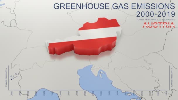
Greenhouse gas emissions in Austria from 2000 to 2019. Values in tonnes per capita (CO2 equivalent). Source data: Eurostat. 3D rendering loop able video with 4K resolution.
Greenhouse Gas Emissions Austria 2000 2019 Values Tonnes Capita Co2 — Stock Video

Usage Information

You can use this royalty-free vector image "Smooth map of North America continent" for personal and commercial purposes according to the Standard or Extended License. The Standard License covers most use cases, including advertising, UI designs, and product packaging, and allows up to 500,000 print copies. The Extended License permits all use cases under the Standard License with unlimited print rights and allows you to use the downloaded vector files for merchandise, product resale, or free distribution.

This stock vector image is scalable to any size. You can buy and download it in high resolution up to 8000x6000. Upload Date: Dec 8, 2021