South America Map Outline — Stock Vector

South America Map Outline — Vector

Political map of South America with all countries and national borders. Blue outline illustration on white background and english scaling.

 — Vector by Furian

Same Series:

South America single states political map. All countries in different colors, with national borders and country names. English labeling and scaling. Illustration on white background.
South America single states political map — Stock Vector
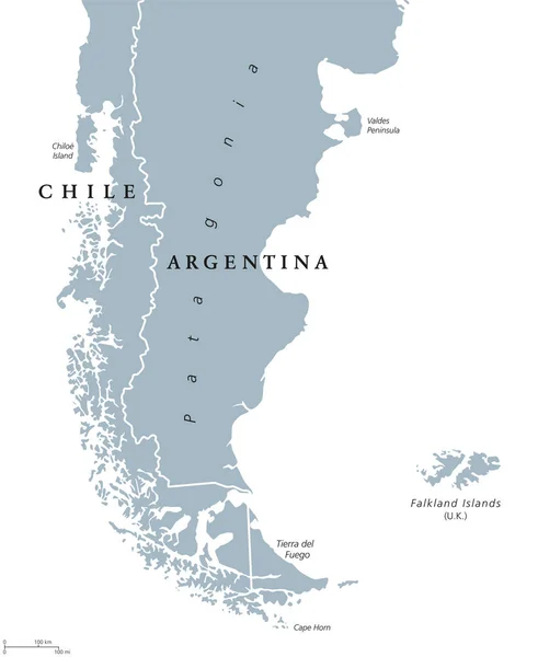
Patagonia political map. The southern end of continent South America, shared by Chile and Argentina. With Falkland Islands, a British overseas territory. English labeling. Gray illustration. Vector.
Patagonia and Falkland Islands political map — Stock Vector
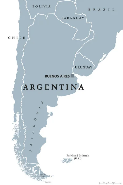
Argentina political map with capital Buenos Aires, national borders and neighbor countries. Republic in South America. Gray illustration isolated on white background. English labeling. Vector.
Argentina political map — Stock Vector
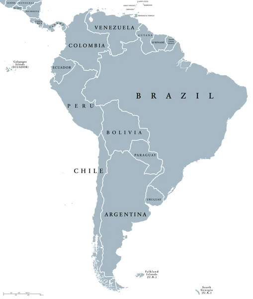
South America countries political map with national borders. Continent surrounded by Pacific and Atlantic Ocean. English labeling. Illustration.
South America countries political map — Stock Vector
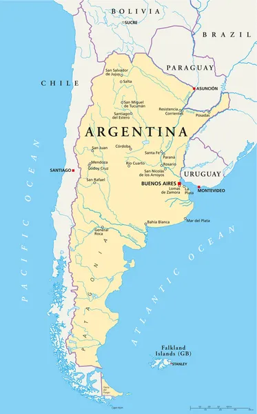
Political map of Argentina with capital Buenos Aires, national borders, most important cities, rivers and lakes. Vector illustration with English labeling and scaling.
Argentina Political Map — Stock Vector
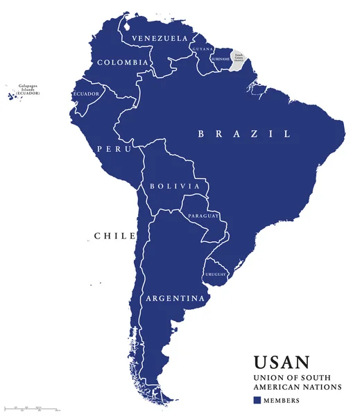
USAN, Union of South American Nations map, an intergovernmental regional organization comprising twelve South American countries. Continental union, also called UNASUR, UNASUL or UZAN. Info graphics.
USAN, Union of South American Nations map — Stock Vector
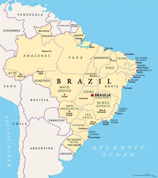
States of Brazil, political map. Federative units with borders and capitals. Subnational entities with a certain degree of autonomy. They form the Federative Republic of Brazil, with capital Brasilia.
States Brazil Political Map Federative Units Borders Capitals Subnational Entities — Stock Vector
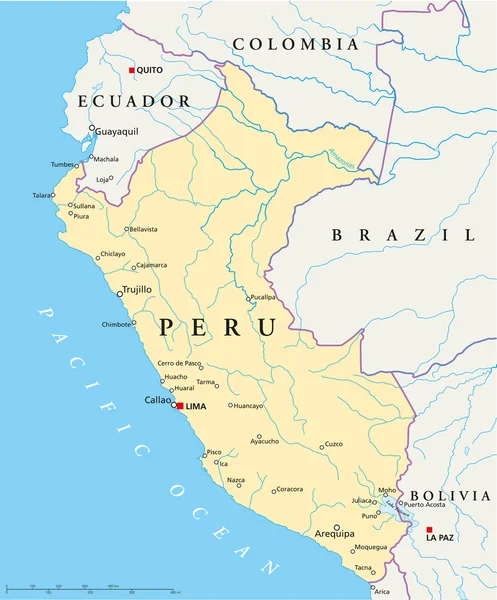
Political map of Peru with capital Lima, national borders, most important cities, rivers and lakes. Vector illustration with English labeling and scaling.
Peru Political Map — Stock Vector
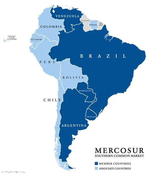
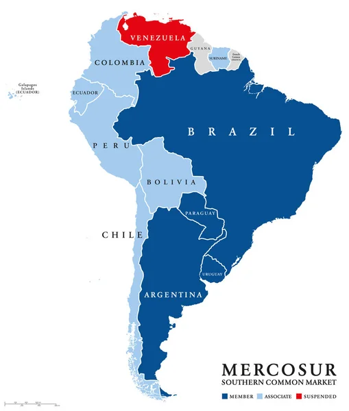
MERCOSUR Southern Common Market countries info map, also Mercosul. Free trade bloc with members Argentina, Brazil, Paraguay, Uruguay, Venezuela and associate countries. English labeling. Illustration.
MERCOSUR Southern Common Market countries info map — Stock Vector
MERCOSUR countries map with suspended member Venezuela. Southern Common Market, also Mercosul. Free trade bloc with members Argentina, Brazil, Paraguay, Uruguay. English labeling. Illustration. Vector
MERCOSUR countries map with suspended Venezuela — Stock Vector
Uruguay political map with capital Montevideo, national borders and neighbors. Oriental republic and country in South America. Gray illustration isolated on white background. English labeling. Vector.
Uruguay political map — Stock Vector
Political map of Bolivia with capital La Paz, national borders, most important cities, rivers and lakes. Illustration with English labeling and scaling.
Bolivia Political Map — Stock Vector
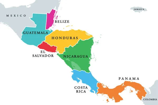
Central America countries, colored political map. Subregion of the Americas, between Mexico and Colombia, consisting of Belize, Guatemala, Honduras, El Salvador, Nicaragua, Costa Rica and Panama.
Central America Countries Colored Political Map Subregion Americas Mexico Colombia — Stock Vector
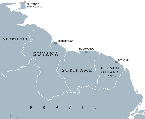
Guyana, Suriname and French Guiana political map with capitals Georgetown, Paramaribo and Cayenne. English labeling. Also the Guayanas, a region in northern South America. Gray illustration. Vector.
Guyana, Suriname and French Guiana political map — Stock Vector
National flag of Argentina with Sun of May in country silhouette. Argentinian triband of horizontal bands in blue and white, above all the national emblem Sol de Mayo. Illustration over white. Vector.
National Flag Argentina Sun May Country Silhouette Argentinian Triband Horizontal — Stock Vector

Similar Stock Videos:
Animated detailed map of Germany country
Animated detailed map of Germany — Stock Video
Belgium animated map with alpha channel. Motion design 4k
Belgium animated map with alpha channel. — Stock Video
Animation of the map of East Asia region
Animation of the map of East Asia — Stock Video
Animated Map of Netherlands in blue on a white background. Motion design 4k
Animated Map of Netherlands in blue on a white background. Motion design — Stock Video
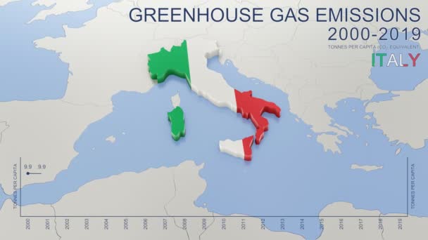
Greenhouse gas emissions in Italy from 2000 to 2019. Values in tonnes per capita (CO2 equivalent). Source data: Eurostat. 3D rendering loop able video with 4K resolution.
Greenhouse Gas Emissions Italy 2000 2019 Values Tonnes Capita Co2 — Stock Video
Russia Map Intro By Regions/ 4k animated russia map intro background with countries appearing and fading one by one and camera movement
Russia Map Intro Regions Animated Russia Map Intro Background Countries — Stock Video
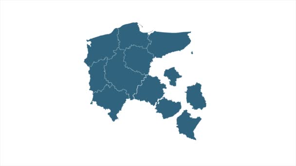
Poland animated Map with national borders, most important cities and rivers. Motion design 4K
Poland animated Map with national borders, most important cities and rivers. Motion design — Stock Video
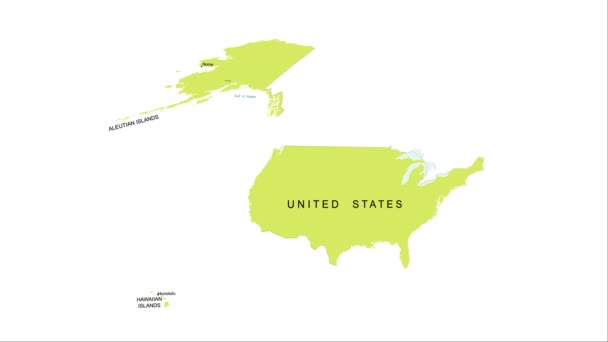
Animation of the map of the USA
Animation of the map of the United States of America — Stock Video
Animated Map of Hungary. Gray Blank Hungary Map on White Background. 4K Ultra HD World Map Animation.
Animated Map of Hungary. Gray Blank Hungary Map on White Background. 4K Ultra HD World Map. — Stock Video
Turkey Country Map Showing Up Intro By Regions/ 4k animated turkish map intro background with provinces appearing and fading one by one and camera movement
Turkey Country Map Showing Intro Regions Animated Turkish Map Intro — Stock Video
Map of Kazakhstan, Kazakhstan outline, Animated close up map Kazakhstan. Motion graphic design
Map of Kazakhstan, Kazakhstan outline, Animated close up map Kazakhstan — Stock Video
India Country Map Showing Up Intro By Regions/ 4k animated india map intro background with countries appearing and fading one by one and camera movement
India Country Map Showing Intro Regions Animated India Map Intro — Stock Video
China Map Showing Up Intro By Regions/ 4k animated china map intro background with countries appearing and fading one by one and camera movement
China Map Showing Intro Regions Animated China Map Intro Background — Stock Video
Italy map hand draw
Italy map hand draw — Stock Video
Central America Map Showing Up Intro By States/ 4k animated central american map intro background with states appearing and fading one by one and camera movement
Central America Map Showing Intro States Animated Central American Map — Stock Video
Bulgaria drawing coloured map isolated on white background
Bulgaria drawing coloured map isolated on white — Stock Video
4k animated Germany map intro background with new administrative regions appearing. Germany Map Showing Up Intro With New Regions.
Germany Map Showing Up Intro With New Regions. 4k animated Germany map intro background with new administrative regions — Stock Video
Animated cartography with bokeh in background showing the United Kingdom being erased from the European Union map
Animated cartography with bokeh in background showing the United Kingdom — Stock Video

Usage Information

You can use this royalty-free vector image "South America Map Outline" for personal and commercial purposes according to the Standard or Extended License. The Standard License covers most use cases, including advertising, UI designs, and product packaging, and allows up to 500,000 print copies. The Extended License permits all use cases under the Standard License with unlimited print rights and allows you to use the downloaded vector files for merchandise, product resale, or free distribution.

This stock vector image is scalable to any size. You can buy and download it in high resolution up to 6000x7051. Upload Date: Feb 26, 2015