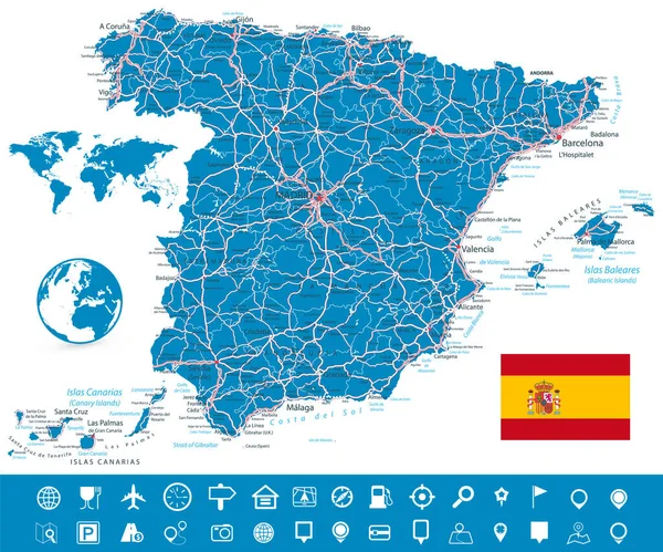
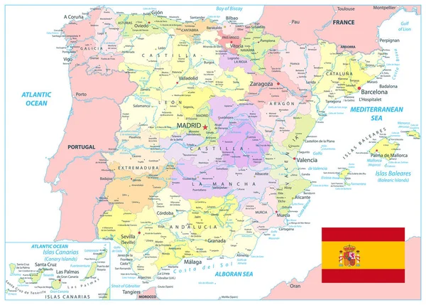
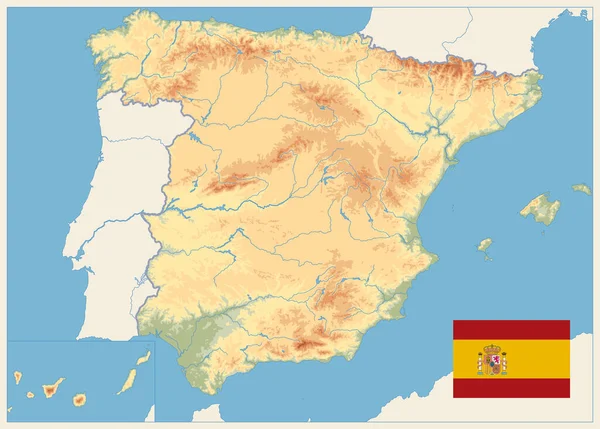
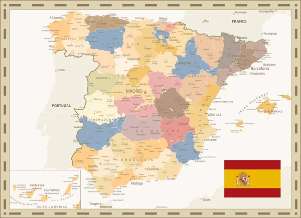
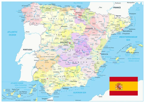
Spain Administrative Map Roads Blue Colors All Elements Separated Editable — Stock Vector

Spain Administrative Map and Roads Blue Colors. All elements are separated in editable layers clearly labeled. Vector illustration. — Vector

Spain Administrative Map and Roads Blue Colors. All elements are separated in editable layers clearly labeled. Vector illustration.

 — Vector by Cartarium

Same Series:

Spain Map and Roads with Navigation Icon Set. All elements are separated in editable layers clearly labeled. Vector illustration.
Spain Map Roads Navigation Icon Set All Elements Separated Editable — Stock Vector
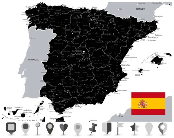
Black Map of Spain and Flat Map Icons. All elements are separated in editable layers clearly labeled. Vector illustration.
Black Map Spain Flat Map Icons All Elements Separated Editable — Stock Vector
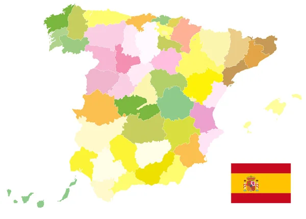
Administrative Political Map of Spain Isolated On White. No text. All elements are separated in editable layers clearly labeled. Vector illustration.
Administrative Political Map Spain Isolated White Text All Elements Separated — Stock Vector
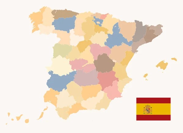
Political Map of Spain Old Colors. All elements are separated in editable layers clearly labeled. Vector illustration.
Political Map Spain Old Colors All Elements Separated Editable Layers — Stock Vector
Spain Detail Map White Color. All elements are separated in editable layers clearly labeled. Vector illustration.
Spain Detail Map White Color All Elements Separated Editable Layers — Stock Vector
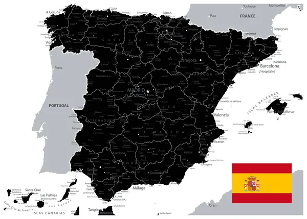
Black Map of Spain. All elements are separated in editable layers clearly labeled. Vector illustration.
Black Map Spain All Elements Separated Editable Layers Clearly Labeled — Stock Vector
Detailed Political Map of Spain Isolated on White. All elements are separated in editable layers clearly labeled. Vector illustration.
Detailed Political Map Spain Isolated White All Elements Separated Editable — Stock Vector
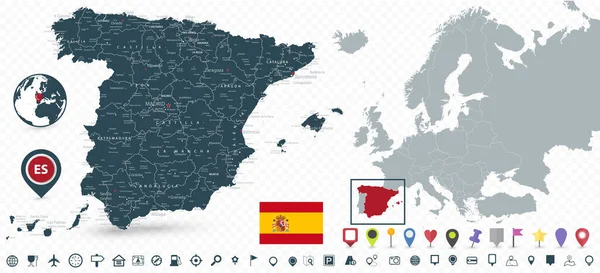
Spain Map and Spain location on Europe Map isolated on transparent background. Highly detailed vector illustration of map.
Spain Map Spain Location Europe Map Isolated Transparent Background Highly — Stock Vector
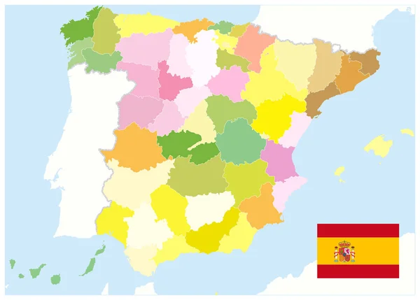
Administrative Political Map of Spain. No text. All elements are separated in editable layers clearly labeled. Vector illustration.
Administrative Political Map Spain Text All Elements Separated Editable Layers — Stock Vector
Spain Physical Map Retro Colors. No text. All elements are separated in editable layers clearly labeled. Vector illustration.
Spain Physical Map Retro Colors Text All Elements Separated Editable — Stock Vector
Black Map of Spain Isolated On White. Empty Map. All elements are separated in editable layers clearly labeled. Vector illustration.
Black Map Spain Isolated White Empty Map All Elements Separated — Stock Vector
Spain Map and Infographics design elements - Business template in flat style for presentation, booklet, website and other creative projects.
Spain Map Infographics Design Elements Business Template Flat Style Presentation — Stock Vector
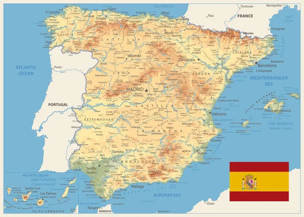
Spain Physical Map Retro Colors. All elements are separated in editable layers clearly labeled. Vector illustration.
Spain Physical Map Retro Colors All Elements Separated Editable Layers — Stock Vector
Detailed Political Map of Spain Retro Color. All elements are separated in editable layers clearly labeled. Vector illustration.
Detailed Political Map Spain Retro Color All Elements Separated Editable — Stock Vector
Spain Administrative Divisions Map and Roads. All elements are separated in editable layers clearly labeled. Vector illustration.
Spain Administrative Divisions Map Roads All Elements Separated Editable Layers — Stock Vector
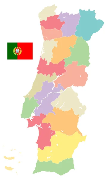
Portugal Map Administrative Divisions Isolated on White. No text - Detailed map of Portugal vector illustration - All elements are separated in editable layers clearly labeled.
Portugal Map Administrative Divisions Isolated on White. No text — Stock Vector

Similar Stock Videos:

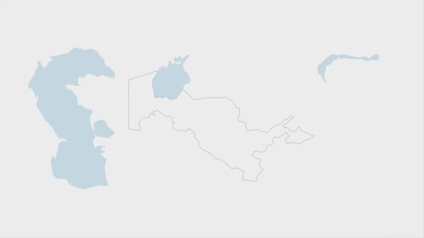
Uzbekistan map highlighted in Uzbekistan flag colors and pin of country capital Tashkent, map with neighboring Asian countries.
Uzbekistan Map Highlighted Uzbekistan Flag Colors Pin Country Capital Tashkent — Stock Video
India map highlighted in India flag colors and pin of country capital New Delhi, map with neighboring Asian countries.
India Map Highlighted India Flag Colors Pin Country Capital New — Stock Video
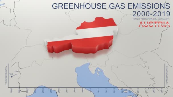
Greenhouse gas emissions in Austria from 2000 to 2019. Values in tonnes per capita (CO2 equivalent). Source data: Eurostat. 3D rendering loop able video with 4K resolution.
Greenhouse Gas Emissions Austria 2000 2019 Values Tonnes Capita Co2 — Stock Video
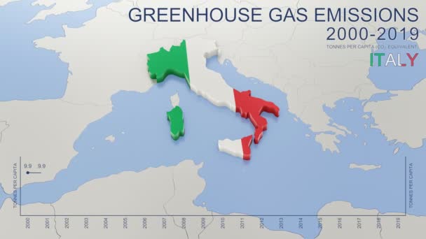
Greenhouse gas emissions in Italy from 2000 to 2019. Values in tonnes per capita (CO2 equivalent). Source data: Eurostat. 3D rendering loop able video with 4K resolution.
Greenhouse Gas Emissions Italy 2000 2019 Values Tonnes Capita Co2 — Stock Video
The 28 countries of the European Union and their flags
The 28 countries of the European Union and their flags — Stock Video
Animated detailed map of Germany country
Animated detailed map of Germany — Stock Video
Kazakhstan map highlighted in Kazakhstan flag colors and pin of country capital Nur-Sultan, map with neighboring Asian countries.
Kazakhstan Map Highlighted Kazakhstan Flag Colors Pin Country Capital Nur — Stock Video
3d rendered, animated flag of Alaska
Flag of Alaska — Stock Video
Bulgaria map highlighted in Bulgaria flag colors and pin of country capital Sofia, map with neighboring European countries.
Bulgaria Map Highlighted Bulgaria Flag Colors Pin Country Capital Sofia — Stock Video
France map highlighted in France flag colors and pin of country capital Paris, map with neighboring European countries.
France Map Highlighted France Flag Colors Pin Country Capital Paris — Stock Video
Three-dimensional map of England. 3d
Three-dimensional map of England. — Stock Video
An animation of Malaysia map in flag colour. Can be use for political, independence day, Malaysia day, festive and current issue
Animation Malaysia Map Flag Colour Can Use Political Independence Day — Stock Video
3d animated map showing the state of Nederland from the united state of america. 2d map of Nederland. 4k
3d animated map showing the state of Nederland from the united state of america. 2d map of Nederland. — Stock Video
James Cook. great geographical discoveries. trip around the world
The great world tour - James Cook. — Stock Video
3D render of the division of the map of Russia into several separate parts, the concept of the collapse of the Russian Federation
Animation of the collapse of the map of Russia — Stock Video
Countries of the former USSR is separated from Russia and joining the European Union
Animation accession to the EU — Stock Video
Romania map highlighted in Romania flag colors and pin of country capital Bucharest, map with neighboring European countries.
Romania Map Highlighted Romania Flag Colors Pin Country Capital Bucharest — Stock Video
3d rendering of an Iceland map in Icelandic flag colors on black background. 4K Video motion graphic animation.
Rendering Iceland Map Icelandic Flag Colors Black Background Video Motion — Stock Video

Usage Information

You can use this royalty-free vector image "Spain Administrative Map and Roads Blue Colors. All elements are separated in editable layers clearly labeled. Vector illustration." for personal and commercial purposes according to the Standard or Extended License. The Standard License covers most use cases, including advertising, UI designs, and product packaging, and allows up to 500,000 print copies. The Extended License permits all use cases under the Standard License with unlimited print rights and allows you to use the downloaded vector files for merchandise, product resale, or free distribution.

This stock vector image is scalable to any size. You can buy and download it in high resolution up to 5631x4031. Upload Date: Mar 11, 2020