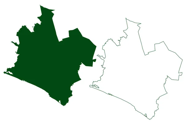
Tlalixtaquilla Municipality Free Sovereign State Guerrero Mexico United Mexican States — Stock Vector

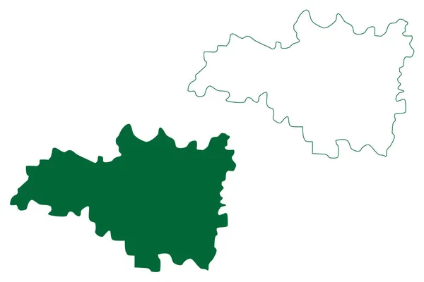
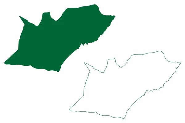
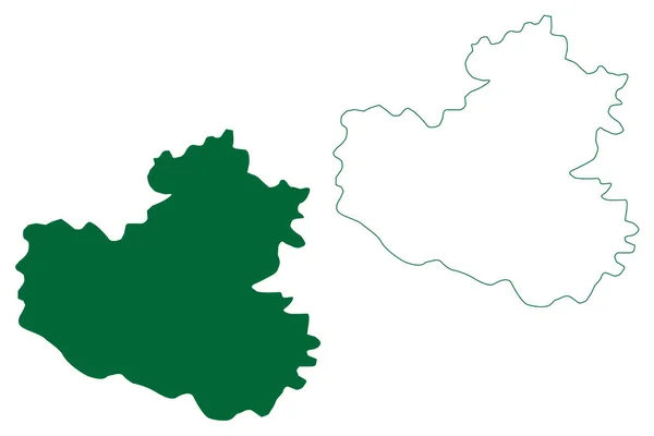
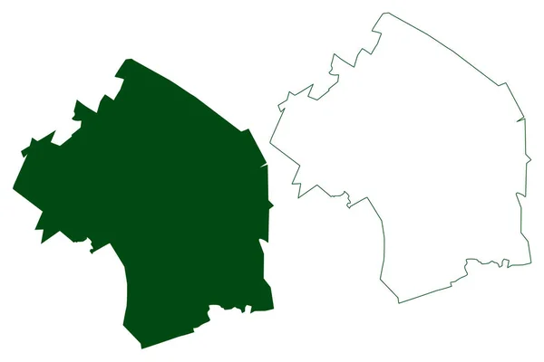
Tlalixtaquilla municipality (Free and Sovereign State of Guerrero, Mexico, United Mexican States) map vector illustration, scribble sketch Tlalixtaquilla de Maldonado map — Vector

Tlalixtaquilla municipality (Free and Sovereign State of Guerrero, Mexico, United Mexican States) map vector illustration, scribble sketch Tlalixtaquilla de Maldonado map

 — Vector by Danler

Same Series:

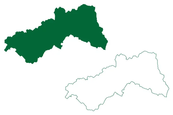
Dakshina Kannada district (Karnataka State, Republic of India, Mysore Division) map vector illustration, scribble sketch Dakshina Kannada map
Dakshina Kannada District Karnataka State Republic India Mysore Division Map — Stock Vector
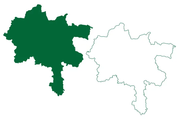
Medak district (Telangana State, Republic of India) map vector illustration, scribble sketch Medak map
Medak District Telangana State Republic India Map Vector Illustration Scribble — Stock Vector
Hidalgo municipality (Estado Libre y Soberano de Durango, Mexico, United Mexican States) map vector illustration, scribble sketch Hidalgo map
Hidalgo Municipality Estado Libre Soberano Durango Mexico United Mexican States — Stock Vector
East Garo Hills district (Meghalaya State, Republic of India) map vector illustration, scribble sketch East Garo Hills map
East Garo Hills District Meghalaya State Republic India Map Vector — Stock Vector
Bangalore Urban district (Karnataka State, Republic of India, Bangalore Division) map vector illustration, scribble sketch Bengaluru Urban map
Bangalore Urban District Karnataka State Republic India Bangalore Division Map — Stock Vector
Acuna municipality (Free and Sovereign State of Coahuila de Zaragoza, Mexico, United Mexican States) map vector illustration, scribble sketch Acuna map
Acuna Municipality Free Sovereign State Coahuila Zaragoza Mexico United Mexican — Stock Vector
Monclova and Morelos municipality (Free and Sovereign State of Coahuila de Zaragoza, Mexico, United Mexican States) map vector illustration, scribble sketch map
Monclova Morelos Municipality Free Sovereign State Coahuila Zaragoza Mexico United — Stock Vector
Basti district (Uttar Pradesh State, Republic of India) map vector illustration, scribble sketch Basti map
Basti District Uttar Pradesh State Republic India Map Vector Illustration — Stock Vector
Asientos municipality (Free and Sovereign State of Aguascalientes, Mexico, United Mexican States) map vector illustration, scribble sketch Asientos map
Asientos Municipality Free Sovereign State Aguascalientes Mexico United Mexican States — Stock Vector
Rodeo municipality (Estado Libre y Soberano de Durango, Mexico, United Mexican States) map vector illustration, scribble sketch Rodeo map
Rodeo Municipality Estado Libre Soberano Durango Mexico United Mexican States — Stock Vector
Hapur district (Uttar Pradesh State, Republic of India) map vector illustration, scribble sketch Hapur map
Hapur District Uttar Pradesh State Republic India Map Vector Illustration — Stock Vector
Petatlan municipality (Free and Sovereign State of Guerrero, Mexico, United Mexican States) map vector illustration, scribble sketch map
Petatlan Municipality Free Sovereign State Guerrero Mexico United Mexican States — Stock Vector
Budaun district (Uttar Pradesh State, Republic of India) map vector illustration, scribble sketch Badaun map
Budaun District Uttar Pradesh State Republic India Map Vector Illustration — Stock Vector
Chatra district (Jharkhand State, Republic of India, North Chotanagpur division) map vector illustration, scribble sketch Chatra map
Chatra District Jharkhand State Republic India North Chotanagpur Division Map — Stock Vector
Abasolo municipality (Free and Sovereign State of Coahuila de Zaragoza, Mexico, United Mexican States) map vector illustration, scribble sketch Abasolo map
Abasolo Municipality Free Sovereign State Coahuila Zaragoza Mexico United Mexican — Stock Vector
Zaragoza municipality (Free and Sovereign State of Coahuila de Zaragoza, Mexico, United Mexican States) map vector illustration, scribble sketch map
Zaragoza Municipality Free Sovereign State Coahuila Zaragoza Mexico United Mexican — Stock Vector

Usage Information

You can use this royalty-free vector image "Tlalixtaquilla municipality (Free and Sovereign State of Guerrero, Mexico, United Mexican States) map vector illustration, scribble sketch Tlalixtaquilla de Maldonado map" for personal and commercial purposes according to the Standard or Extended License. The Standard License covers most use cases, including advertising, UI designs, and product packaging, and allows up to 500,000 print copies. The Extended License permits all use cases under the Standard License with unlimited print rights and allows you to use the downloaded vector files for merchandise, product resale, or free distribution.

This stock vector image is scalable to any size. You can buy and download it in high resolution up to 7087x4726. Upload Date: Sep 14, 2022