Union Isidoro Montes Oca Municipality Free Sovereign State Guerrero Mexico — Stock Vector

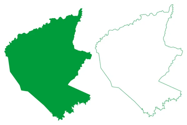
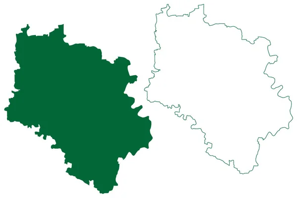
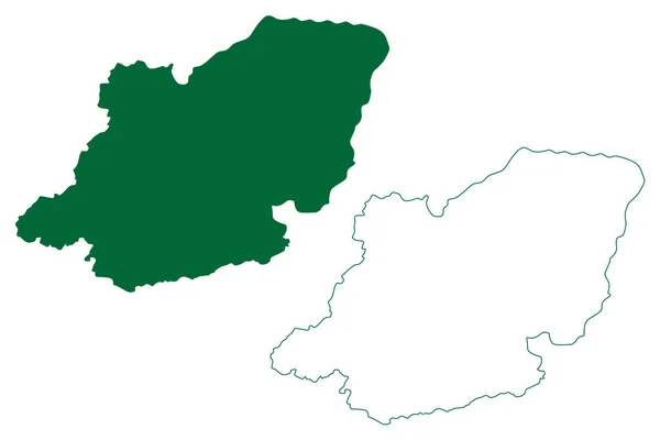
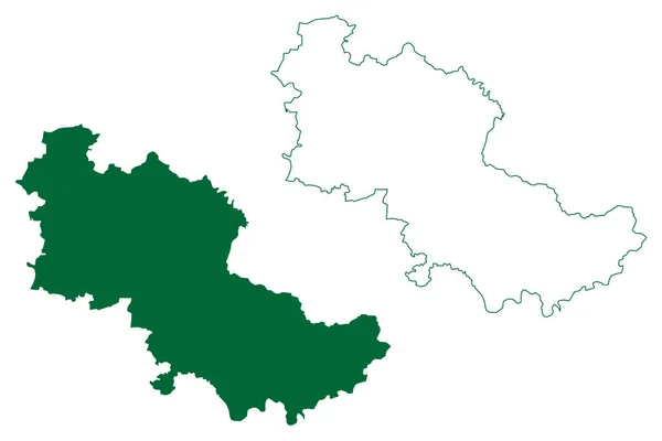
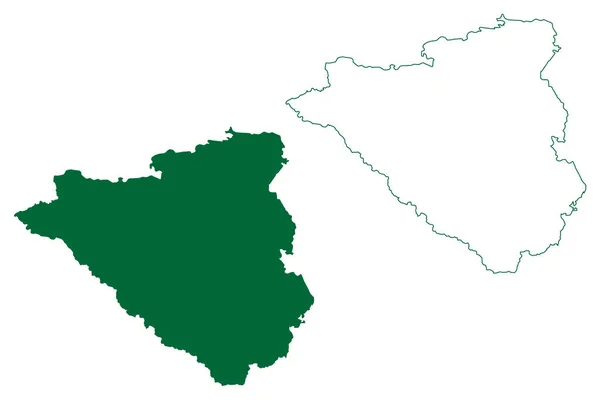
La Union de Isidoro Montes de Oca municipality (Free and Sovereign State of Guerrero, Mexico, United Mexican States) map vector illustration, scribble sketch map — Vector

La Union de Isidoro Montes de Oca municipality (Free and Sovereign State of Guerrero, Mexico, United Mexican States) map vector illustration, scribble sketch map

 — Vector by Danler

Same Series:

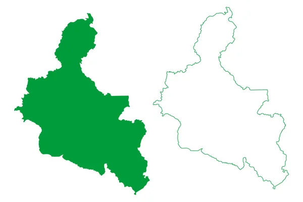
Sao Felix do Coribe municipality (Bahia state, Municipalities of Brazil, Federative Republic of Brazil) map vector illustration, scribble sketch Sao Felix do Coribe map
Sao Felix Coribe Municipality Bahia State Municipalities Brazil Federative Republic — Stock Vector
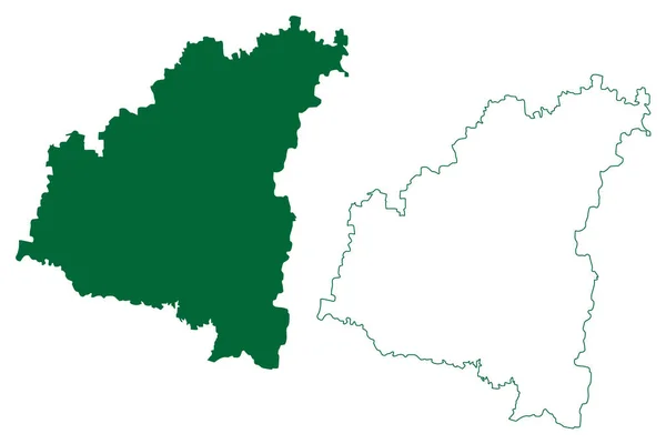
Haveri district (Karnataka State, Republic of India, Belgaum division) map vector illustration, scribble sketch Haveri map
Haveri District Karnataka State Republic India Belgaum Division Map Vector — Stock Vector
Sao Sebastiao do Uatuma municipality (Amazonas state, Municipalities of Brazil, Federative Republic of Brazil) map vector illustration, scribble sketch Sao Sebastiao do Uatuma map
Sao Sebastiao Uatuma Municipality Amazonas State Municipalities Brazil Federative Republic — Stock Vector
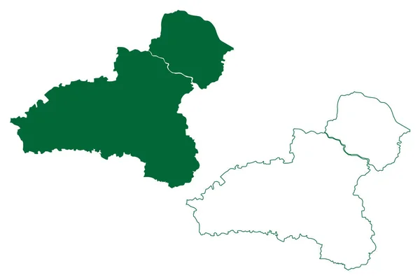
Balaghat district (Madhya Pradesh State, Jabalpur division, Republic of India) map vector illustration, scribble sketch Balaghat map
Balaghat District Madhya Pradesh State Jabalpur Division Republic India Map — Stock Vector
Kupwara district (Jammu and Kashmir union territory, Republic of India) map vector illustration, scribble sketch Kupwara map
Kupwara District Jammu Kashmir Union Territory Republic India Map Vector — Stock Vector
Deoghar district (Jharkhand State, Republic of India, Santhal Pargana Division) map vector illustration, scribble sketch Devaghar map
Deoghar District Jharkhand State Republic India Santhal Pargana Division Map — Stock Vector
Singrauli district (Madhya Pradesh State, Rewa division, Republic of India) map vector illustration, scribble sketch Singrauli map
Singrauli District Madhya Pradesh State Rewa Division Republic India Map — Stock Vector
Dindori district (Madhya Pradesh State, Jabalpur division, Republic of India) map vector illustration, scribble sketch Ramgarh map
Dindori District Madhya Pradesh State Jabalpur Division Republic India Map — Stock Vector
Parras municipality (Free and Sovereign State of Coahuila de Zaragoza, Mexico, United Mexican States) map vector illustration, scribble sketch Parras map
Parras Municipality Free Sovereign State Coahuila Zaragoza Mexico United Mexican — Stock Vector
Aurangabad district (Maharashtra State, Aurangabad Division, Republic of India) map vector illustration, scribble sketch map
Aurangabad District Maharashtra State Aurangabad Division Republic India Map Vector — Stock Vector
Dhule district (Maharashtra State, Nashik Division, Republic of India) map vector illustration, scribble sketch Dhule map
Dhule District Maharashtra State Nashik Division Republic India Map Vector — Stock Vector
Karnali Province (Federal Democratic Republic of Nepal, Administrative divisions) map vector illustration, scribble sketch Province No. 6 map
Karnali Province Federal Democratic Republic Nepal Administrative Divisions Map Vector — Stock Vector
Nagpur district (Maharashtra State, Nagpur Division, Republic of India) map vector illustration, scribble sketch map
Nagpur District Maharashtra State Nagpur Division Republic India Map Vector — Stock Vector
Boudh district (Odisha State, Republic of India) map vector illustration, scribble sketch Boudh map
Boudh District Odisha State Republic India Map Vector Illustration Scribble — Stock Vector
Presidente Figueiredo municipality (Amazonas state, Municipalities of Brazil, Federative Republic of Brazil) map vector illustration, scribble sketch Presidente Figueiredo map
Presidente Figueiredo Municipality Amazonas State Municipalities Brazil Federative Republic Brazil — Stock Vector
Carichi municipality (Free and Sovereign State of Chihuahua, Mexico, United Mexican States) map vector illustration, scribble sketch map
Carichi Municipality Free Sovereign State Chihuahua Mexico United Mexican States — Stock Vector

Usage Information

You can use this royalty-free vector image "La Union de Isidoro Montes de Oca municipality (Free and Sovereign State of Guerrero, Mexico, United Mexican States) map vector illustration, scribble sketch map" for personal and commercial purposes according to the Standard or Extended License. The Standard License covers most use cases, including advertising, UI designs, and product packaging, and allows up to 500,000 print copies. The Extended License permits all use cases under the Standard License with unlimited print rights and allows you to use the downloaded vector files for merchandise, product resale, or free distribution.

This stock vector image is scalable to any size. You can buy and download it in high resolution up to 7087x4726. Upload Date: Sep 10, 2022