Vanuatu map — Stock Vector

Vanuatu map — Vector

Map of Vanuatu drawn with high detail and accuracy

 — Vector by Volina

Same Series:

Bora Bora is an island in the Leeward group of the Society Islands of French Polynesia, an overseas collectivity of France in the Pacific Ocean
Bora bora map — Stock Vector
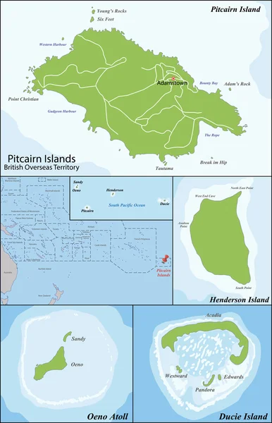
The Pitcairn Group of Islands are a group of four volcanic islands in the southern Pacific Ocean that form the last British Overseas Territory in the Pacific
Pitcairn Islands map — Stock Vector
Martinique is an insular region of France located in the Lesser Antilles in the eastern Caribbean Sea
Map of Martinique — Stock Vector
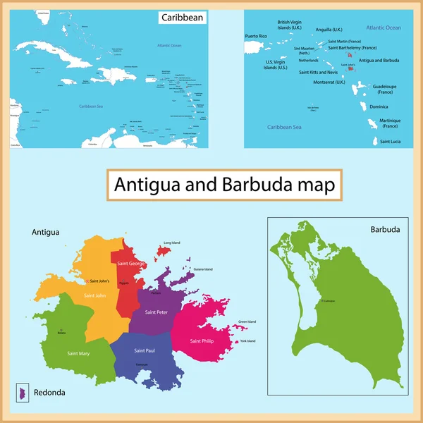
Map of Antigua and Barbuda drawn with high detail and accuracy. Antigua and Barbuda is divided into provinces which are colored with different bright colors. Barbuda map
Antigua and Barbuda map — Stock Vector
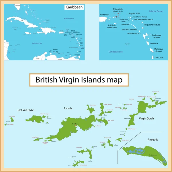
Map of the British Virgin Islands drawn with high detail and accuracy.
British Virgin Islands map — Stock Vector
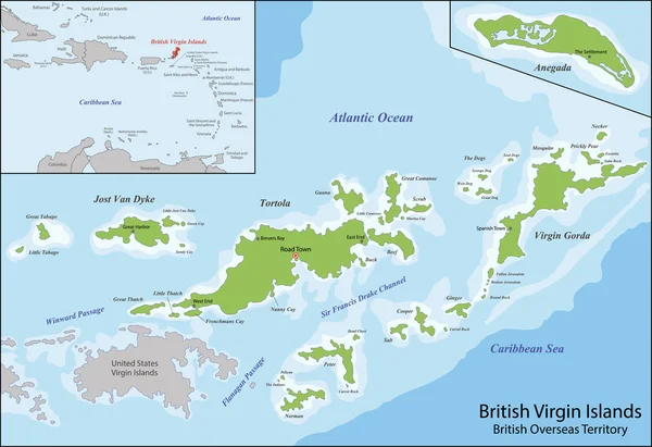
The Virgin Islands commonly referred to as the British Virgin Islands, is a British overseas territory located in the Caribbean to the east of Puerto Rico
British Virgin Islands map — Stock Vector
Margarita Island is the largest island in the Venezuelan state of Nueva Esparta, situated off the northeastern coast of the country, in the Caribbean Sea
Map of Margarita Island — Stock Vector
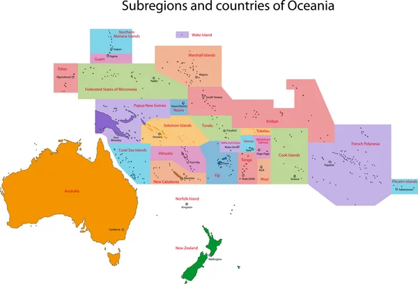
Oceania map with countries and capital cities
Oceania map — Stock Vector
Administrative division of the Republic of Cabo Verde
Cape Verde map — Stock Vector
Bermuda is a British Overseas Territory in the North Atlantic Ocean
Map of Bermuda — Stock Vector
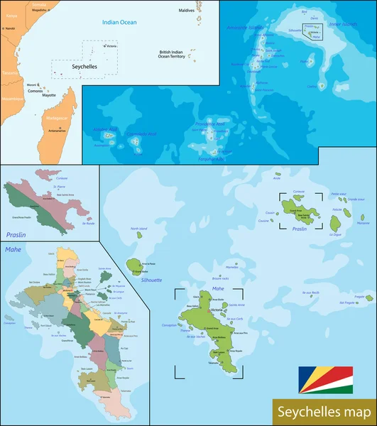
Administrative division of the Republic of Seychelles
Seychelles map — Stock Vector
Hawaii is the 50th and most recent state of the United States of America. It is the northernmost island group in Polynesia
State of Hawaii — Stock Vector
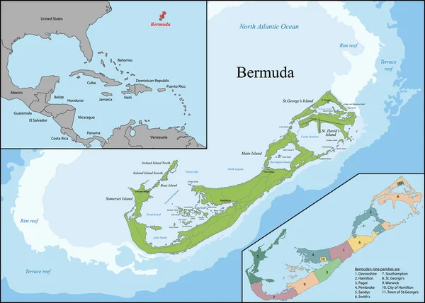
Bermuda is a British Overseas Territory in the North Atlantic Ocean, located off the east coast of North America
The Bermudas or Somers Isles map — Stock Vector
Map of administrative divisions of Republic of Iceland
Map of Iceland — Stock Vector
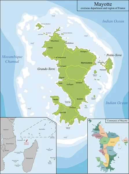
Mayotte is an overseas department and region of France officially named Department of Mayotte
Map of Mayotte — Stock Vector
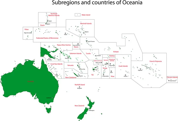
Colorful Oceania map with countries and capital cities
Oceania map — Stock Vector

Similar Stock Videos:

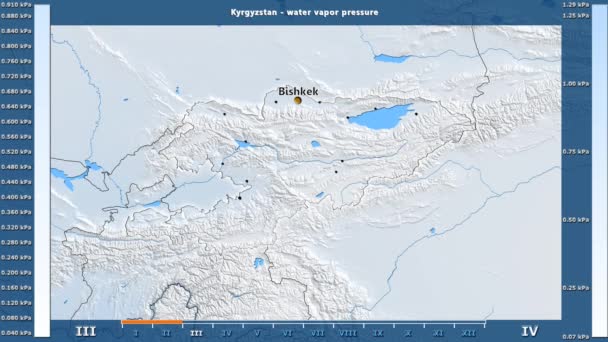
Water vapor pressure by month in the Kyrgyzstan area with animated legend - English labels: country and capital names, map description. Stereographic projection
Water Vapor Pressure Month Kyrgyzstan Area Animated Legend English Labels — Stock Video
Water vapor pressure by month in the Belgium area with animated legend - English labels: country and capital names, map description. Stereographic projection
Water Vapor Pressure Month Belgium Area Animated Legend English Labels — Stock Video
James Cook. great geographical discoveries. trip around the world
The great world tour - James Cook. — Stock Video
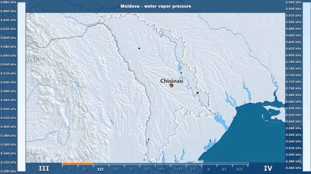
Water vapor pressure by month in the Moldova area with animated legend - English labels: country and capital names, map description. Stereographic projection
Water Vapor Pressure Month Moldova Area Animated Legend English Labels — Stock Video
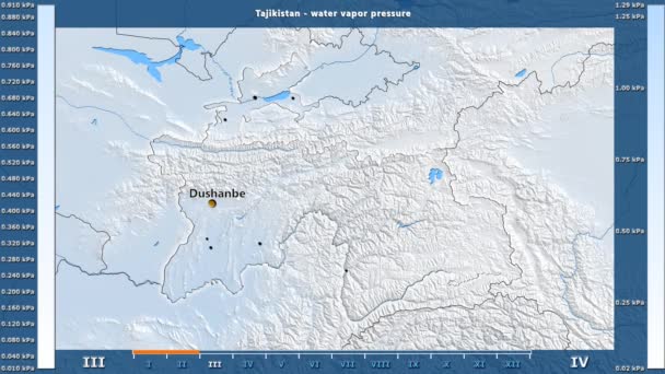
Water vapor pressure by month in the Tajikistan area with animated legend - English labels: country and capital names, map description. Stereographic projection
Water Vapor Pressure Month Tajikistan Area Animated Legend English Labels — Stock Video
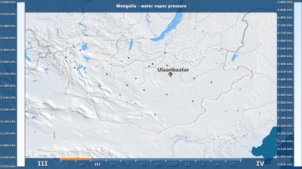
Water vapor pressure by month in the Mongolia area with animated legend - English labels: country and capital names, map description. Stereographic projection
Water Vapor Pressure Month Mongolia Area Animated Legend English Labels — Stock Video
India map highlighted in India flag colors and pin of country capital New Delhi, map with neighboring Asian countries.
India Map Highlighted India Flag Colors Pin Country Capital New — Stock Video
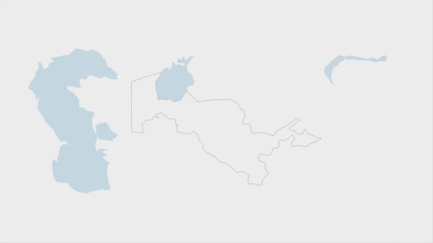
Uzbekistan map highlighted in Uzbekistan flag colors and pin of country capital Tashkent, map with neighboring Asian countries.
Uzbekistan Map Highlighted Uzbekistan Flag Colors Pin Country Capital Tashkent — Stock Video
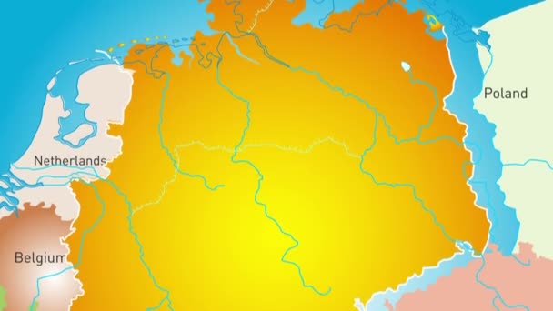
Animated detailed map of Germany country
Animated detailed map of Germany — Stock Video
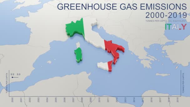
Greenhouse gas emissions in Italy from 2000 to 2019. Values in tonnes per capita (CO2 equivalent). Source data: Eurostat. 3D rendering loop able video with 4K resolution.
Greenhouse Gas Emissions Italy 2000 2019 Values Tonnes Capita Co2 — Stock Video
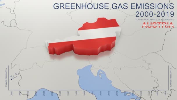
Greenhouse gas emissions in Austria from 2000 to 2019. Values in tonnes per capita (CO2 equivalent). Source data: Eurostat. 3D rendering loop able video with 4K resolution.
Greenhouse Gas Emissions Austria 2000 2019 Values Tonnes Capita Co2 — Stock Video
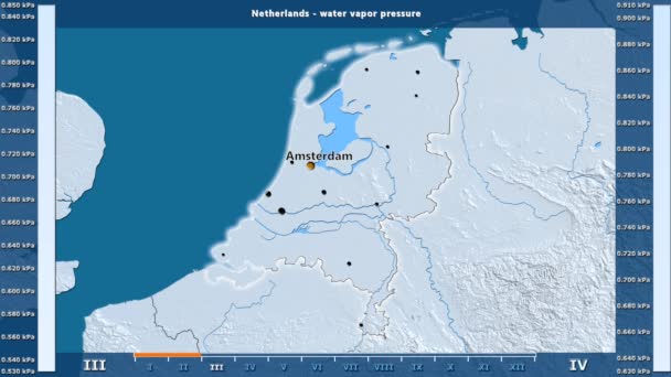
Water vapor pressure by month in the Netherlands area with animated legend - English labels: country and capital names, map description. Stereographic projection
Water Vapor Pressure Month Netherlands Area Animated Legend English Labels — Stock Video
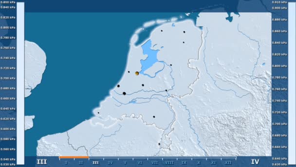
Water vapor pressure by month in the Netherlands area with animated legend - glowing shape, administrative borders, main cities, capital. Stereographic projection
Water Vapor Pressure Month Netherlands Area Animated Legend Glowing Shape — Stock Video
Water vapor pressure by month in the Ireland area with animated legend - English labels: country and capital names, map description. Stereographic projection
Water Vapor Pressure Month Ireland Area Animated Legend English Labels — Stock Video
Water vapor pressure by month in the Uzbekistan area with animated legend - English labels: country and capital names, map description. Stereographic projection
Water Vapor Pressure Month Uzbekistan Area Animated Legend English Labels — Stock Video
Water vapor pressure by month in the Germany area with animated legend - English labels: country and capital names, map description. Stereographic projection
Water Vapor Pressure Month Germany Area Animated Legend English Labels — Stock Video
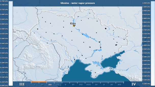
Water vapor pressure by month in the Ukraine area with animated legend - English labels: country and capital names, map description. Stereographic projection
Water Vapor Pressure Month Ukraine Area Animated Legend English Labels — Stock Video
Water vapor pressure by month in the Armenia area with animated legend - English labels: country and capital names, map description. Stereographic projection
Water Vapor Pressure Month Armenia Area Animated Legend English Labels — Stock Video

Usage Information

You can use this royalty-free vector image "Vanuatu map" for personal and commercial purposes according to the Standard or Extended License. The Standard License covers most use cases, including advertising, UI designs, and product packaging, and allows up to 500,000 print copies. The Extended License permits all use cases under the Standard License with unlimited print rights and allows you to use the downloaded vector files for merchandise, product resale, or free distribution.

This stock vector image is scalable to any size. You can buy and download it in high resolution up to 7001x6301. Upload Date: Apr 22, 2015