Vector abstract hatched map of Germany with vertical lines isolated on a white background. — Stock Vector

Vector abstract hatched map of Germany with vertical lines isolated on a white background. — Vector

Vector abstract hatched map of Germany with vertical lines isolated on a white background. Travel vector illustration.

 — Vector by RadistMorze

Same Series:

Vector hexagon map of Germany . Business space in the country
Vector hexagon map of Germany isolated on white background — Stock Vector
Vector abstract hatched map of Germany with spiral lines isolated on a white background. Travel vector illustration.
Vector abstract hatched map of Germany with spiral lines isolated on a white background. — Stock Vector
Vector people map of Germany . The concept of population. Can be used for presentations, advertising, infographics and the visualization of the statistics.
Vector People Map Germany Concept Population Can Used Presentations Advertising — Stock Vector
Danke neon sign in the speech bubble on brick wall background .
Danke neon sign in the speech bubble on brick wall background. — Stock Vector
Vector dotted colourful map of Germany. Set of different color solutions
Vector Dotted Colourful Map Germany Set Different Color Solutions — Stock Vector
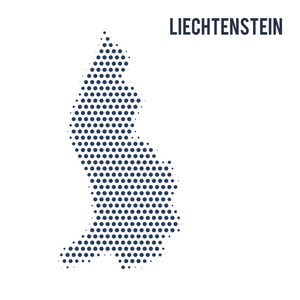
Dotted map of Liechtenstein isolated on white background. Vector illustration.
Dotted Map Liechtenstein Isolated White Background Vector Illustration — Stock Vector
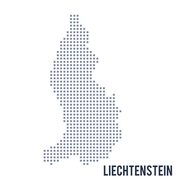
Vector pixel map of Liechtenstein isolated on white background . Travel vector illustration
Vector pixel map of Liechtenstein isolated on white background — Stock Vector
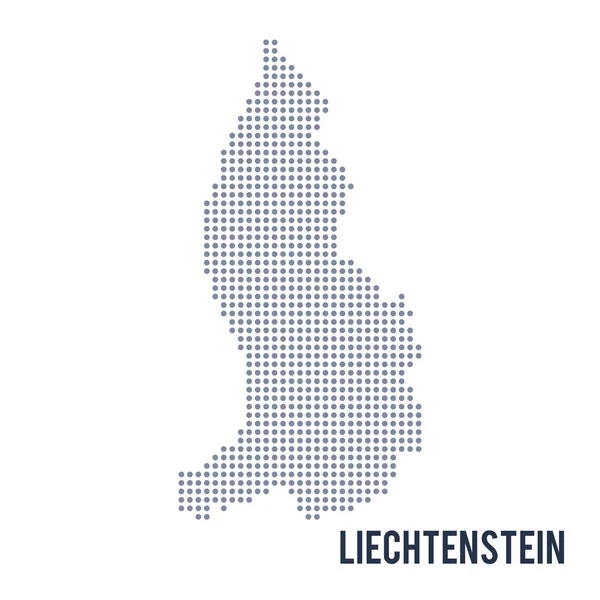
Vector dotted map of Liechtenstein isolated on white background . Travel vector illustration
Vector dotted map of Liechtenstein isolated on white background . — Stock Vector
Vector abstract hatched map of Luxembourg with vertical lines isolated on a white background. Travel vector illustration.
Vector abstract hatched map of Luxembourg with vertical lines isolated on a white background. — Stock Vector
Vector pixel map of Luxembourg isolated on white background . Travel vector illustration
Vector pixel map of Luxembourg isolated on white background — Stock Vector
Vector abstract hatched map of Luxembourg isolated on a white background. Travel vector illustration.
Vector abstract hatched map of Luxembourg isolated on a white background. — Stock Vector
Vector dotted map of Luxembourg isolated on white background . Travel vector illustration
Vector dotted map of Luxembourg isolated on white background . — Stock Vector
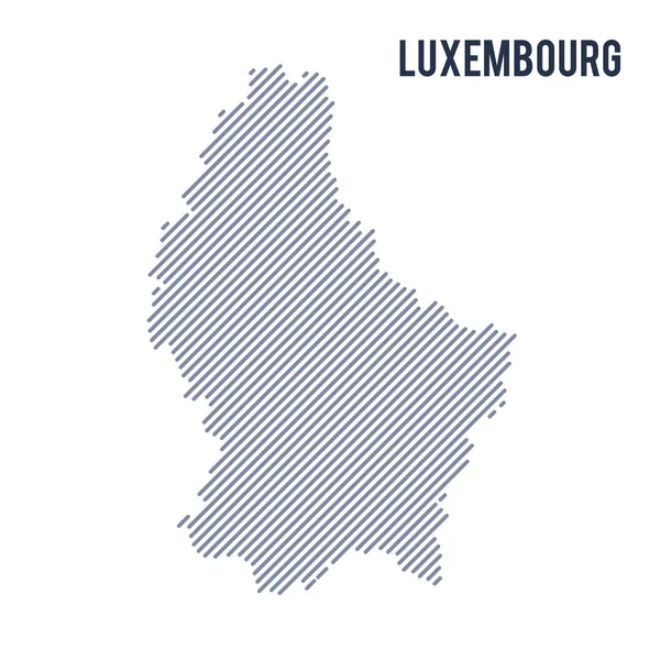
Vector abstract hatched map of Luxembourg with oblique lines isolated on a white background. Travel vector illustration.
Vector abstract hatched map of Luxembourg with oblique lines isolated on a white background. — Stock Vector
Vector abstract hatched map of Luxembourg with curve lines isolated on a white background. Travel vector illustration.
Vector abstract hatched map of Luxembourg with curve lines isolated on a white background. — Stock Vector
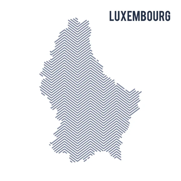
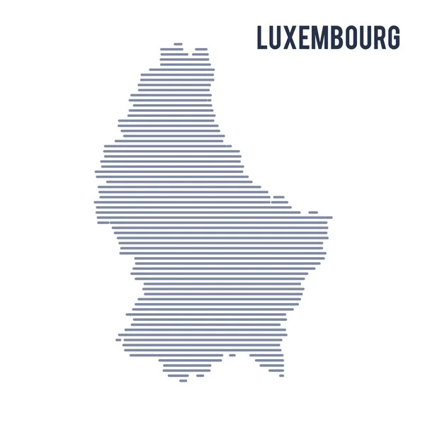
Vector abstract hatched map of Luxembourg with lines isolated on a white background. Travel vector illustration.
Vector abstract hatched map of Luxembourg with lines isolated on a white background. — Stock Vector
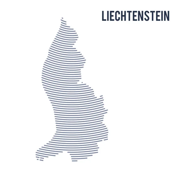
Vector abstract hatched map of Liechtenstein with curve lines isolated on a white background. Travel vector illustration.
Vector abstract hatched map of Liechtenstein with curve lines isolated on a white background. — Stock Vector

Similar Stock Videos:
Country map and flag of Korea drawing with chalk on a blackboard. 4K hand drawn animation. One of a large series of maps and flags of different countries. Education, travel, study abroad concept.
Korea. Chalk drawn and animated map with flag. — Stock Video
Precipitation by month in the Moldova area with animated legend - raw color shader. Stereographic projection
Precipitation Month Moldova Area Animated Legend Raw Color Shader Stereographic — Stock Video
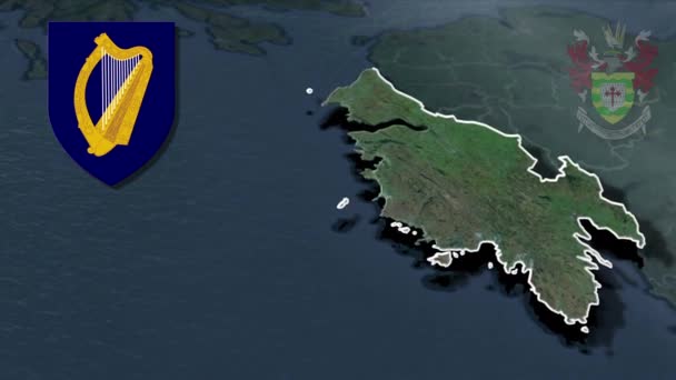
Counties of Ireland Donegal whit Coat of arms animation map
Counties Ireland Donegal Whit Coat Arms Animation Map — Stock Video
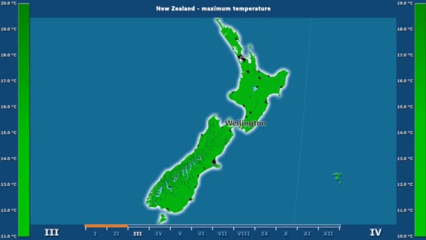
Maximum temperature by month in the New Zealand area with animated legend - English labels: country and capital names, map description. Stereographic projection
Maximum Temperature Month New Zealand Area Animated Legend English Labels — Stock Video
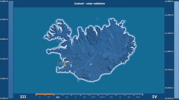
Solar radiation by month in the Iceland area with animated legend - English labels: country and capital names, map description. Stereographic projection
Solar Radiation Month Iceland Area Animated Legend English Labels Country — Stock Video
States of Venezuela animation map
States Venezuela Animation Map — Stock Video
Germany regions map animation
Germany Regions Map Animation — Stock Video
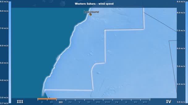
Wind speed by month in the Western Sahara area with animated legend - English labels: country and capital names, map description. Stereographic projection
Wind Speed Month Western Sahara Area Animated Legend English Labels — Stock Video
Solar radiation by month in the Mali area with animated legend - raw color shader. Stereographic projection
Solar Radiation Month Mali Area Animated Legend Raw Color Shader — Stock Video
Solar radiation by month in the Nicaragua area with animated legend - raw color shader. Stereographic projection
Solar Radiation Month Nicaragua Area Animated Legend Raw Color Shader — Stock Video
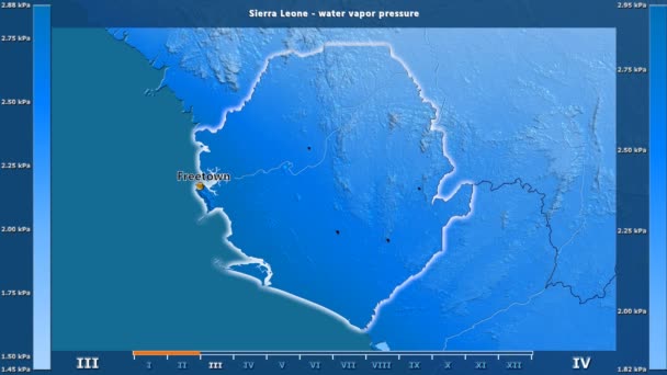
Water vapor pressure by month in the Sierra Leone area with animated legend - English labels: country and capital names, map description. Stereographic projection
Water Vapor Pressure Month Sierra Leone Area Animated Legend English — Stock Video
Minimum temperature by month in the Western Sahara area with animated legend - English labels: country and capital names, map description. Stereographic projection
Minimum Temperature Month Western Sahara Area Animated Legend English Labels — Stock Video
Precipitation by month in the Mauritania area with animated legend - English labels: country and capital names, map description. Stereographic projection
Precipitation Month Mauritania Area Animated Legend English Labels Country Capital — Stock Video
Regions of France Lorraine whit Coat of arms animation map
Regions France Lorraine Whit Coat Arms Animation Map — Stock Video
Wind speed by month in the Australia area with animated legend - raw color shader. Stereographic projection
Wind Speed Month Australia Area Animated Legend Raw Color Shader — Stock Video
Average temperature by month in the New Zealand area with animated legend - English labels: country and capital names, map description. Stereographic projection
Average Temperature Month New Zealand Area Animated Legend English Labels — Stock Video
Water vapor pressure by month in the East Timor area with animated legend - raw color shader. Stereographic projection
Water Vapor Pressure Month East Timor Area Animated Legend Raw — Stock Video
Solar radiation by month in the United States Alaska area with animated legend - raw color shader. Stereographic projection
Solar Radiation Month United States Alaska Area Animated Legend Raw — Stock Video

Usage Information

You can use this royalty-free vector image "Vector abstract hatched map of Germany with vertical lines isolated on a white background." for personal and commercial purposes according to the Standard or Extended License. The Standard License covers most use cases, including advertising, UI designs, and product packaging, and allows up to 500,000 print copies. The Extended License permits all use cases under the Standard License with unlimited print rights and allows you to use the downloaded vector files for merchandise, product resale, or free distribution.

This stock vector image is scalable to any size. You can buy and download it in high resolution up to 5000x5000. Upload Date: Jul 6, 2017