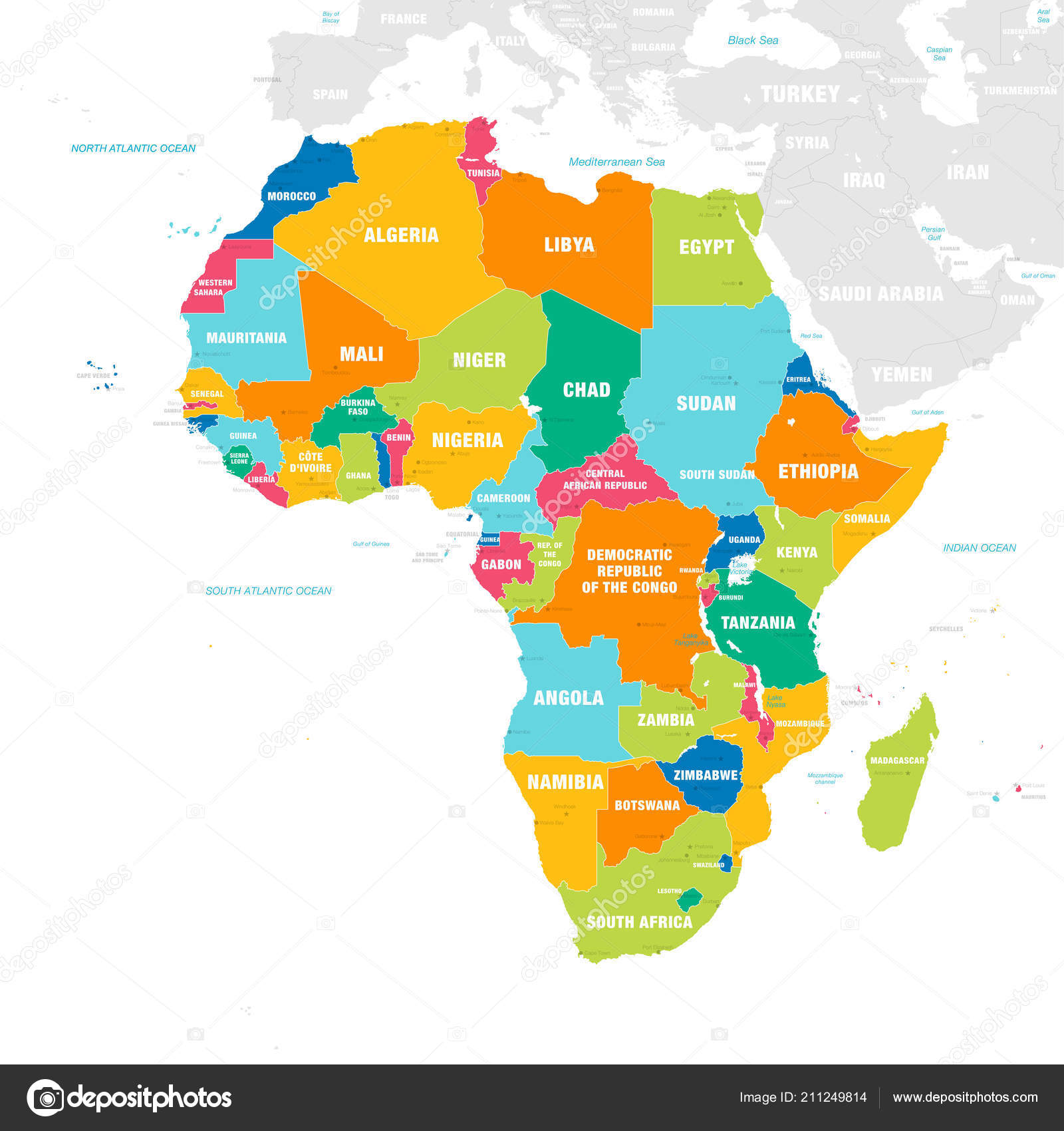
Vector Map Africa Continent Countries Capitals Main Cities Seas Islands — Stock Vector

Vector map of Africa Continent with Countries, Capitals, Main Cities and Seas and islands names in strong brilliant colors. — Vector

Vector map of Africa Continent with Countries, Capitals, Main Cities and Seas and islands names in strong brilliant colors.

 — Vector by pingebat

Same Series:

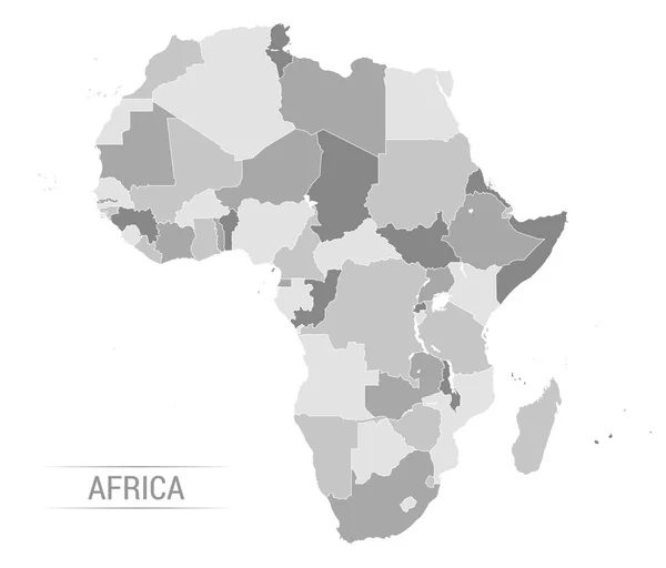
Vector Illustration of Africa Continent in Greyscale color
Vector Africa grey map — Stock Vector
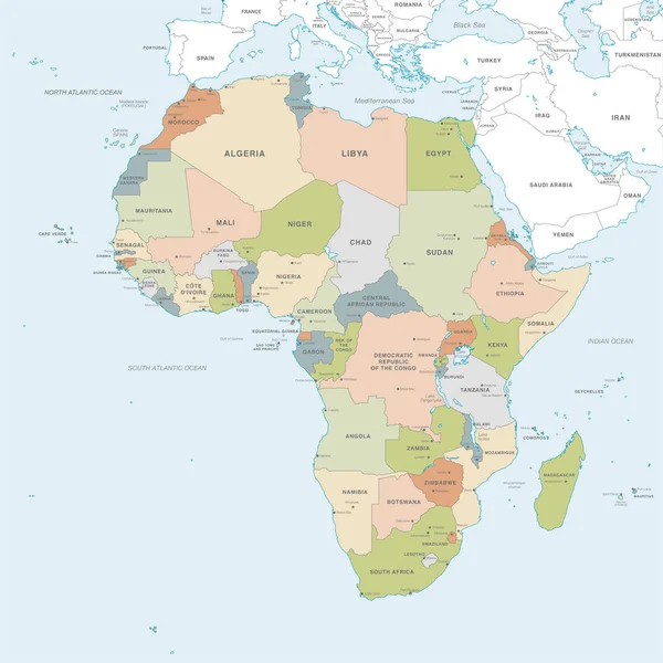
Vector map of Africa Continent with Countries, Capitals, Main Cities and Seas and islands names in classic soft colors.
Vector Map Africa Continent Countries Capitals Main Cities Seas Islands — Stock Vector
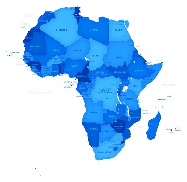
Hi detail Vector blu map of Africa with Shaded borders.
Vector Africa Blue Map — Stock Vector
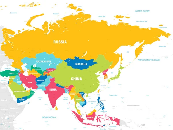
Vector map of Asia Continent with Countries, Capitals, Main Cities and Seas and islands names in vivid colors.
Vector Map Asia Continent Countries Capitals Main Cities Seas Islands — Stock Vector
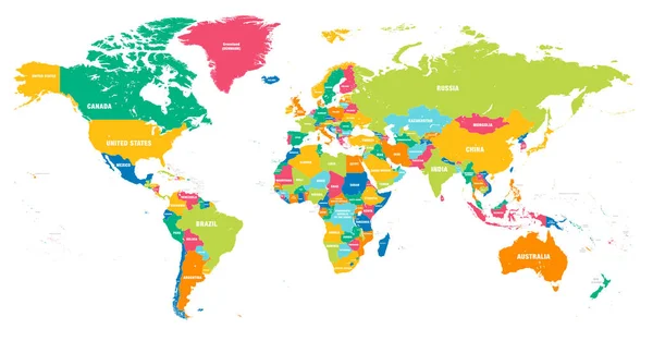
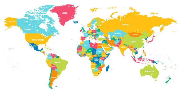
Colorful Hi detailed Vector world map complete with all countries names
Colorful Vector world map — Stock Vector
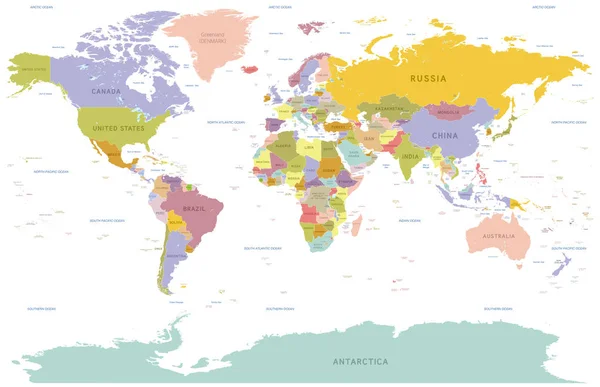
Vector illustration of a detailed Political World map with all Country names colored with pastel colors
Vector colorful World Map — Stock Vector
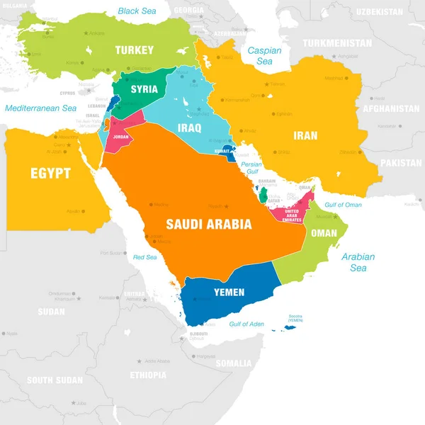
High detail map of the Middle East Zone with Countries, Capitals, Main Cities and Seas and islands names in classic soft colors palette.
High Detail Map Middle East Zone Countries Capitals Main Cities — Stock Vector
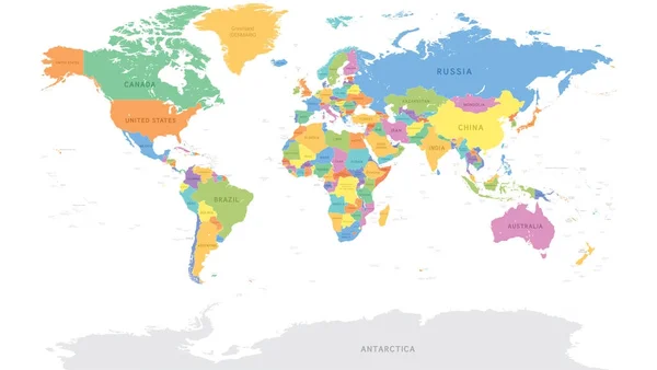
Vector illustration of a detailed Political World map with all Country names
Vector Detailed World Map — Stock Vector
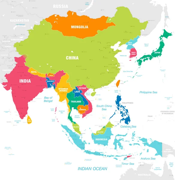
Vector map of East Asia Continent with Countries, Capitals, Main Cities and Seas and islands names in strong brilliant colors palette.
Vector Map East Asia Continent Countries Capitals Main Cities Seas — Stock Vector
Colorful Hi detailed Vector world map complete with all countries names
Colorful Vector world map — Stock Vector
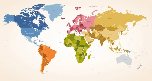
A Vintage colors High Detail vector Map illustration of the whole world map.
Vintage colors vector political World Map — Stock Vector
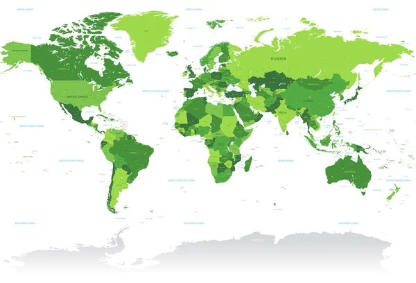
A High Detail vector Map of the world in shades of green. All countries are named with the respective english name.
Vctor Green World Map — Stock Vector
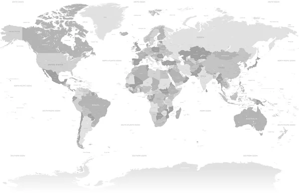
A High Detail vector Map set composed by a full map of the world in grey colors. All countries are named with the respective english name with country capitals, major cities, lakes and seas.
High Detail Grey World Map — Stock Vector
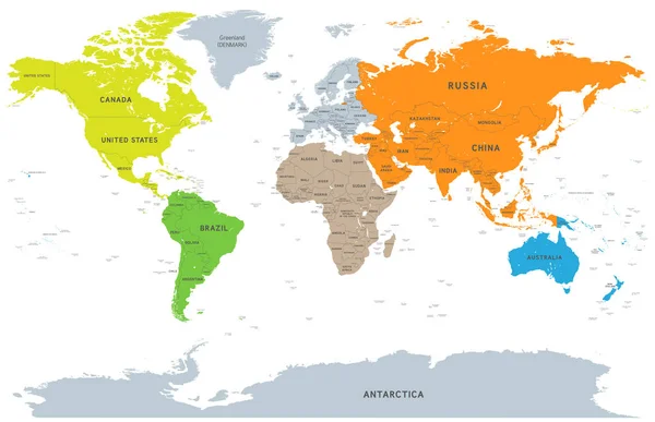
Vector illustration of a detailed Political World map with all Country names colored by continent
Vector Detailed Continent World Map — Stock Vector
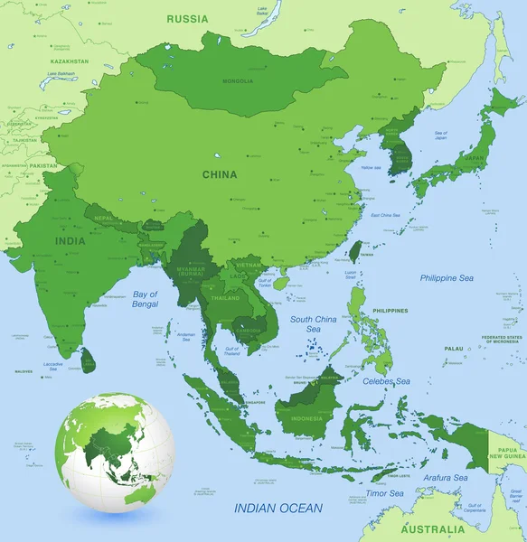
High detail map of far east Asia with a 3D Globe centered on these countries
High detail vector map of far east Asia — Stock Vector
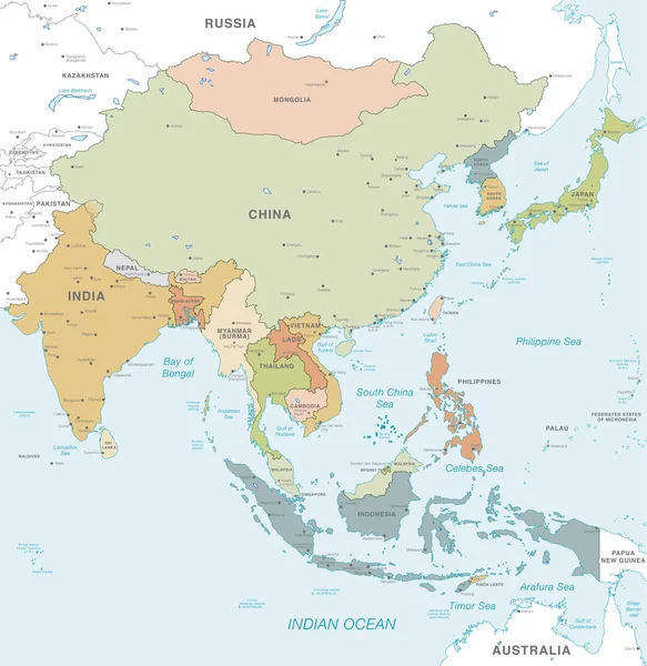
Vector map of East Asia Continent with Countries, Capitals, Main Cities and Seas and islands names in classic soft colors palette.
Vector Map East Asia Continent Countries Capitals Main Cities Seas — Stock Vector

Similar Stock Videos:

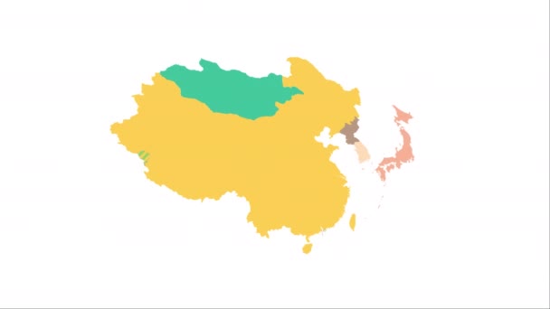
Animation of the map of East Asia region
Animation of the map of East Asia — Stock Video
Wisconsin State of USA. Animated map of USA showing the state of Wisconsin. United States of America. Neumorphism minimal style.
Wisconsin State of USA. Animated map of USA showing the state of Wisconsin. United States of America. Neumorphism minimal style — Stock Video
Animation of the map of South America continent
Animation of the map of South america — Stock Video
Minnesota State of USA. Animated map of USA showing the state of Minnesota. United States of America. Neumorphism minimal style.
Minnesota State of USA. Animated map of USA showing the state of Minnesota. United States of America. Neumorphism minimal style — Stock Video
3D animation simulating the Ebola Virus Spreading to Europe from the African outbreak countries
Ebola Virus Spreading to Europe — Stock Video
The symbol of the heart with an inscription - I love you - consists of parts. Against the backdrop of the rotating rays of the sun. Video.
Symbol Heart Inscription Love You Consists Parts Backdrop Rotating Rays — Stock Video
World map, Island travel. Beach Tour, Flying airplane, illustration animation, vacation.
World map, Island travel. Beach Tour, Flying airplane, illustration animation, vacation. — Stock Video
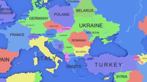
Animation of the map of Europe continent
Animation of the map of Europe — Stock Video
Canada map icon isolated on background. 4K Video motion graphic animation
Canada map icon isolated on background. 4K Video motion graphic animation. — Stock Video
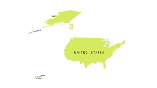
Animation of the map of the USA
Animation of the map of the United States of America — Stock Video
Germany Flag animation with moving loading
Germany Flag animation with moving loading — Stock Video
Abstract line animation Arizona State of USA on hexagon style. Arizona state. United States of America. Outline map of Arizona federal state highlighted from map of USA.
Abstract line animation Arizona State of USA on hexagon style. Arizona state. United States of America. Outline map of Arizona federal state highlighted from map of USA — Stock Video
World map 3d cartography China
World Map Cartography China — Stock Video
China Map - Motion Graphic Cartoon Animation Footage. 4K Resolution Video. Transparency Alpha Channel Included. White Background
China Map Motion Graphic Cartoon Animation Footage Resolution Video Transparency — Stock Video
Abstract line animation New York State of USA on hexagon style. New York state. United States of America. Outline map of New York federal state highlighted from map of USA.
Abstract line animation New York State of USA on hexagon style. New York state. United States of America. Outline map of New York federal state highlighted from map of USA — Stock Video
An animation of India map with coronavirus and Pray For India word. India been hit with terrible wave of coronavirus and worse around the world.
Animation India Map Coronavirus Pray India Word India Been Hit — Stock Video
World map travel. Tour, Flying airplane, illustration animation, vacation.
World map travel. Tour, Flying airplane, illustration animation, vacation. — Stock Video
Line animated map showing the state of California from the united state of america. Motion graphics
Line animated map showing the state of California from the united state of america. Motion graphics. — Stock Video

Usage Information

You can use this royalty-free vector image "Vector map of Africa Continent with Countries, Capitals, Main Cities and Seas and islands names in strong brilliant colors." for personal and commercial purposes according to the Standard or Extended License. The Standard License covers most use cases, including advertising, UI designs, and product packaging, and allows up to 500,000 print copies. The Extended License permits all use cases under the Standard License with unlimited print rights and allows you to use the downloaded vector files for merchandise, product resale, or free distribution.

This stock vector image is scalable to any size. You can buy and download it in high resolution up to 6000x5999. Upload Date: Aug 31, 2018