Vector Map Icelandic Archipelago Vestmannaeyjar — Stock Vector

Vector map of the Icelandic archipelago of the Vestmannaeyjar. — Vector

Vector map of the Icelandic archipelago of the Vestmannaeyjar.

 — Vector by Lesniewski

Similar Stock Videos:
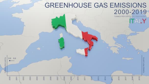
Greenhouse gas emissions in Italy from 2000 to 2019. Values in tonnes per capita (CO2 equivalent). Source data: Eurostat. 3D rendering loop able video with 4K resolution.
Greenhouse Gas Emissions Italy 2000 2019 Values Tonnes Capita Co2 — Stock Video
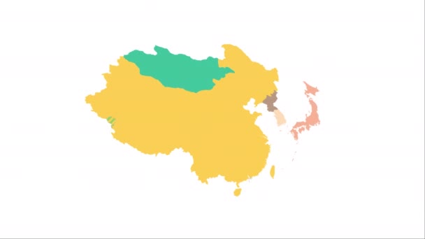
Animation of the map of East Asia region
Animation of the map of East Asia — Stock Video
Soft colors of mountains and forests. Map of New York. Zoom from a world map to a map of New York. 4K FHD 60 fps animation.
Soft colors of mountains and forests. Map of New York. World map. Map of the USA. Zoom from a world map to a map of New York. Zoom from USA map to New York map. 4K FHD 60 fps animation. — Stock Video
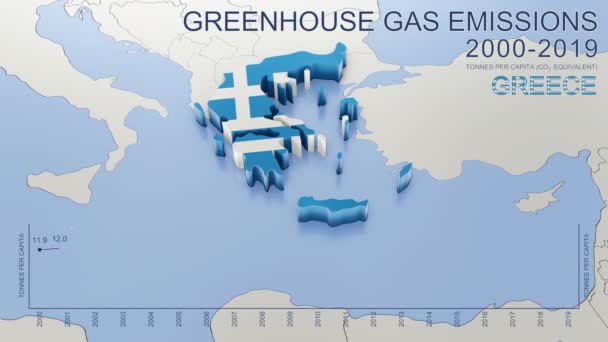
Greenhouse gas emissions in Greece from 2000 to 2019. Values in tonnes per capita (CO2 equivalent). Source data: Eurostat. 3D rendering loop able video with 4K resolution.
Greenhouse Gas Emissions Greece 2000 2019 Values Tonnes Capita Co2 — Stock Video
Animated detailed map of Germany country
Animated detailed map of Germany — Stock Video
Abstract line animation New York State of USA on hexagon style. New York state. United States of America. Outline map of New York federal state highlighted from map of USA.
Abstract line animation New York State of USA on hexagon style. New York state. United States of America. Outline map of New York federal state highlighted from map of USA — Stock Video
Animated Map of Netherlands in blue on a white background. Motion design 4k
Animated Map of Netherlands in blue on a white background. Motion design — Stock Video
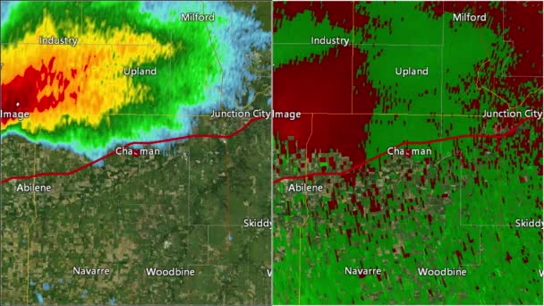
2016 Solomon/Abilene/Chapman, Kansas tornado. Depicts radar imagery (reflectivity) on the left, and base velocity (wind speed and direction) on the right. Taken by National Weather Service NEXRAD radar.
2016 Solomon/Abilene/Chapman, KS Tornado Doppler Radar (Split Screen) — Stock Video
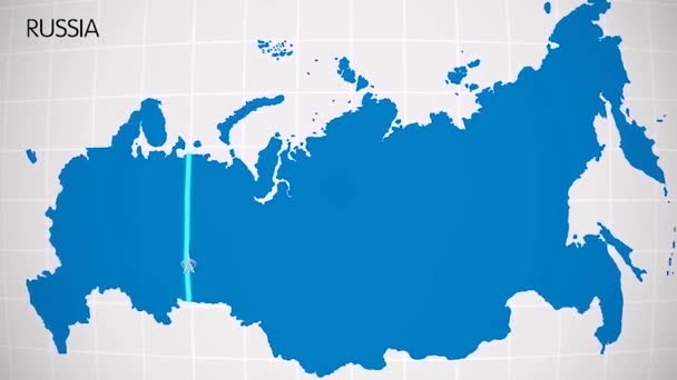
The division of Europe and Asia on the map. the city Ekaterinburg divides Europe and Asia. Eurasia on the map Animation. Eurasia. Yekaterinburg animation HD
The division of Europe and Asia on the map. the city Ekaterinburg divides Europe and Asia. Eurasia on the map Animation. Eurasia. Yekaterinburg animation — Stock Video
Kentucky State of the United States of America. Animated 3d gold location marker on the map. Easy to use with screen transparency mode on your video. 4k
Kentucky State of the United States of America. Animated 3d gold location marker on the map. Easy to use with screen transparency mode on your video. — Stock Video
Line animated map showing the state of Minnesota from the united state of america. Motion graphics
Line animated map showing the state of Minnesota from the united state of america. Motion graphics. — Stock Video
Animation of the map of South America continent
Animation of the map of South america — Stock Video
Thank You Word Cloud in vector format.(multi language translation: Thank you)
Thank You Word Cloud Vector Format Multi Language Translation Thank — Stock Video
Line animated map showing the state of Italy from the united state of america. 2d map of Italy.
Line animated map showing the state of Italy from the united state of america. 2d map of Italy. 4k — Stock Video
Abstract line animation Oregon State of USA on hexagon style. Oregon state. United States of America. Outline map of Oregon federal state highlighted from map of USA.
Abstract line animation Oregon State of USA on hexagon style. Oregon state. United States of America. Outline map of Oregon federal state highlighted from map of USA — Stock Video
Germany Map - Motion Graphic Cartoon Animation Footage. 4K Resolution Video. Transparency Alpha Channel Included. White Background
Germany Map Motion Graphic Cartoon Animation Footage Resolution Video Transparency — Stock Video
Watercolor animated map showing the state of Arkansas from the united state of American. 2d map of Arkansas. 4k Motion graphics.
Watercolor animated map showing the state of Arkansas from the united state of American. 2d map of Arkansas. — Stock Video
Belgium Map Showing Up Intro By Regions 4k animated Belgium map intro background with countries appearing and fading one by one and camera movement.
Belgium Map Showing Up Intro By Regions 4k animated Belgium map intro background with countries appearing and fading one by one and camera movement — Stock Video

Usage Information

You can use this royalty-free vector image "Vector map of the Icelandic archipelago of the Vestmannaeyjar." for personal and commercial purposes according to the Standard or Extended License. The Standard License covers most use cases, including advertising, UI designs, and product packaging, and allows up to 500,000 print copies. The Extended License permits all use cases under the Standard License with unlimited print rights and allows you to use the downloaded vector files for merchandise, product resale, or free distribution.

This stock vector image is scalable to any size. You can buy and download it in high resolution up to 3699x3100. Upload Date: Oct 18, 2018