World General Reference Map Map Surface Earth Landmasses All Continents — Stock Vector

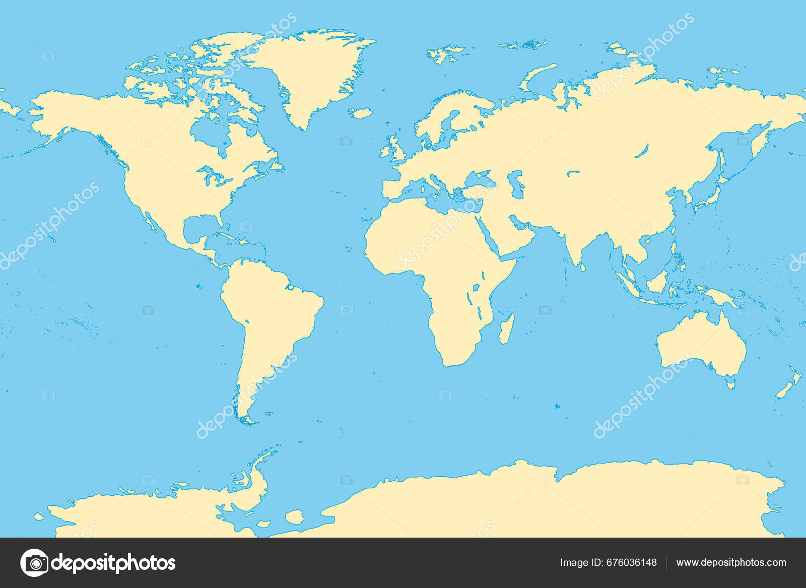
The world, general reference map. Map of the surface of the Earth with the landmasses of all continents, with largest lakes, oceans and seas, in a Miller cylindrical projection. Illustration. Vector. — Vector

The world, general reference map. Map of the surface of the Earth with the landmasses of all continents, with largest lakes, oceans and seas, in a Miller cylindrical projection. Illustration. Vector.

 — Vector by Furian

Same Series:

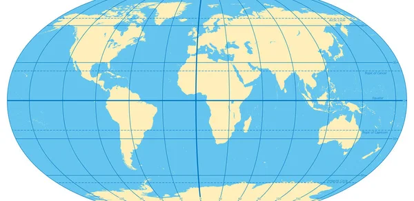
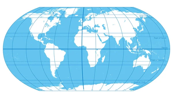
World map with most important circles of latitudes and longitudes, showing Equator, Greenwich meridian, Arctic and Antarctic Circle, Tropic of Cancer and Capricorn. English. Illustration. Vector.
World Map Most Important Circles Latitudes Longitudes Showing Equator Greenwich — Stock Vector
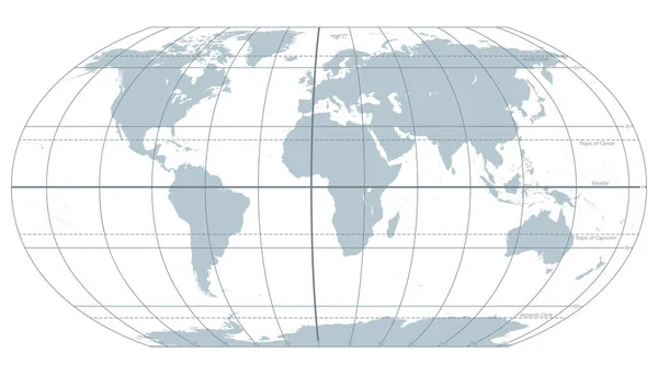
The world with most important circles of latitudes and longitudes, gray political map. Equator, Greenwich meridian, Arctic and Antarctic Circle, Tropic of Cancer and Capricorn. Illustration. Vector.
World Most Important Circles Latitudes Longitudes Gray Political Map Equator — Stock Vector
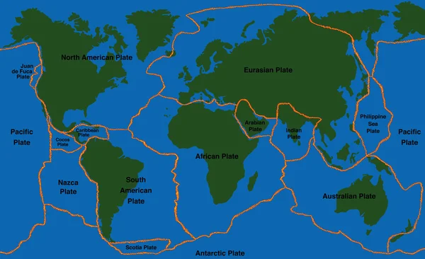
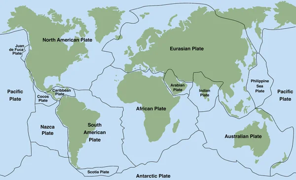
Plate tectonics - world map with fault lines of major an minor plates. Vector illustration.
Plate Tectonics World Map Faultlines — Stock Vector
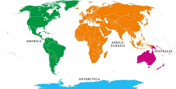
Four continents. World map with national borders. America, Africa-Eurasia, Australia and Antarctica. Political map under Robinson projection. English labeling. Isolated on white background. Vector.
Four Continents World Map National Borders America Africa Eurasia Australia — Stock Vector
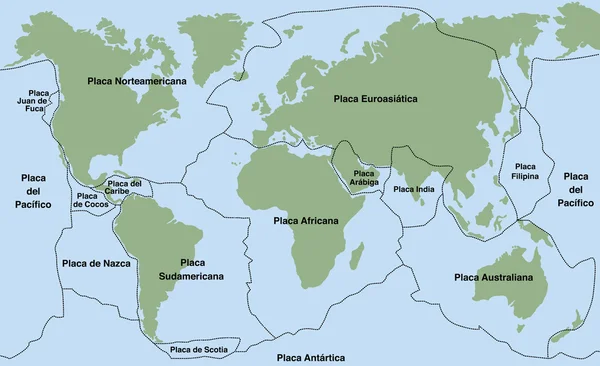
Plate tectonics- SPANISH TEXT! - planet earth with major an minor plates - vector illustration.
Plate Tectonics SPANISH TEXT — Stock Vector
Plate tectonics - world map with major an minor plates. Vector illustration.
Plate Tectonics World — Stock Vector
Four continents map. America, Africa-Eurasia, Australia and Antarctica. Political map with shorelines under Robinson projection. English labeling. Isolated on white background. Vector.
Four Continents Map America Africa Eurasia Australia Antarctica Political Map — Stock Vector
The World, important circles of latitudes and longitudes, blue colored political map. Equator, Greenwich meridian, Arctic and Antarctic Circle, Tropic of Cancer and Capricorn. Illustration. Vector.
World Important Circles Latitudes Longitudes Blue Colored Political Map Equator — Stock Vector
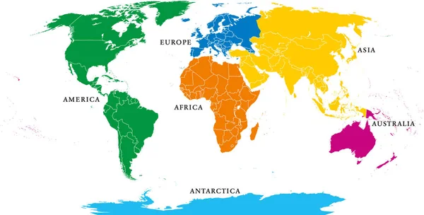
Six continents, political world map, with borders. Africa, America, Antarctica, Asia, Australia and Europe. Robinson projection. English labeling. Isolated illustration on white background. Vector.
Six Continents Political World Map Borders Africa America Antarctica Asia — Stock Vector
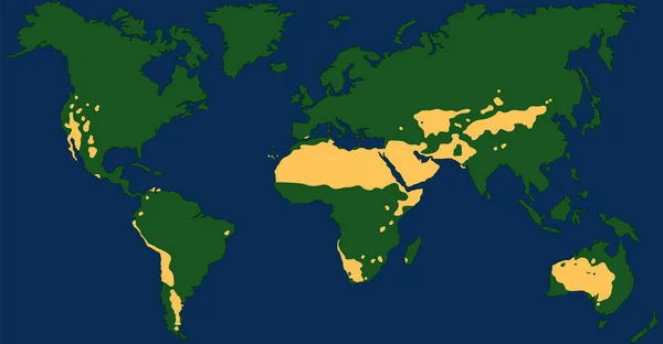
Worlds largest deserts like Sahara, Gobi, Kalahari, Arabian, Patagonian and Great Basin Desert. Global map with yellow desert climate. Vector illustration.
Worlds Largest Deserts Sahara Gobi Kalahari Arabian Patagonian Great Basin — Stock Vector
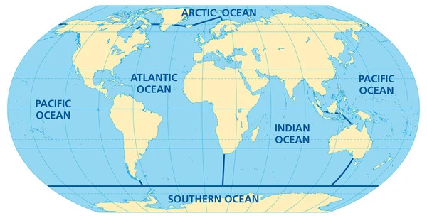
World map of the five oceans, model of oceanic divisions with approximate boundaries. Pacific, Atlantic, Indian, Arctic, and Southern or Antarctic Ocean. Map of the world oceans, bodies of salt water.
World Map Five Oceans Model Oceanic Divisions Approximate Boundaries Pacific — Stock Vector
Desert climate world map with greatest deserts like Sahara, Gobi, Kalahari, Arabian, Patagonian and Great Basin Desert. Chart with yellow drought areas. Vector illustration.
Desert Climate World Map Greatest Deserts Sahara Gobi Kalahari Arabian — Stock Vector
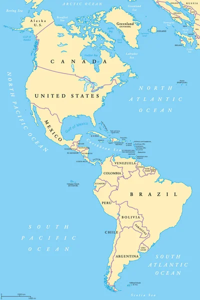
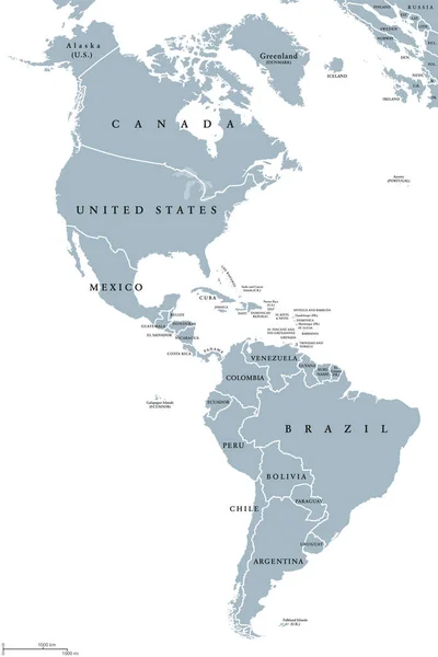
The Americas, North and South America, political map with countries and international borders of two continents. New World and western hemisphere. The Caribbean. Illustration. English labeling. Vector
The Americas, North and South America, political map — Stock Vector
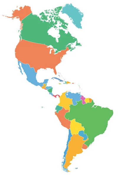
The Americas, political map with single states in different colors. Countries of the Caribbean, of North, Central and South America. Silhouettes. Isolated illustration on white background. Vector.
Americas Political Map Single States Different Colors Countries Caribbean North — Stock Vector
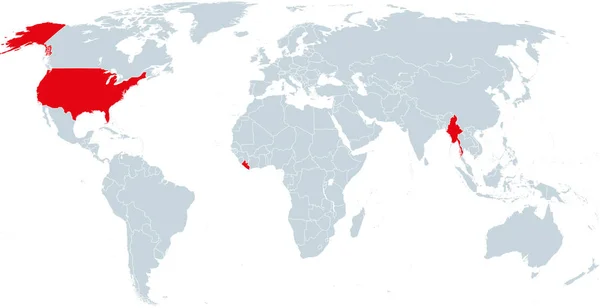
Map of countries officially not using metric units. Liberia, Myanmar and the United States of America using the Imperial system. Infographics. Isolated illustration on white background. Vector.
Map Countries Officially Using Metric Units Liberia Myanmar United States — Stock Vector
The Americas political map with countries and borders of the two continents North and South America. English labeling. Gray illustration on white background. Vector.
The Americas political map — Stock Vector

Usage Information

You can use this royalty-free vector image "The world, general reference map. Map of the surface of the Earth with the landmasses of all continents, with largest lakes, oceans and seas, in a Miller cylindrical projection. Illustration. Vector." for personal and commercial purposes according to the Standard or Extended License. The Standard License covers most use cases, including advertising, UI designs, and product packaging, and allows up to 500,000 print copies. The Extended License permits all use cases under the Standard License with unlimited print rights and allows you to use the downloaded vector files for merchandise, product resale, or free distribution.

This stock vector image is scalable to any size. You can buy and download it in high resolution up to 9000x6000. Upload Date: Sep 14, 2023