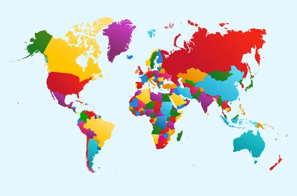
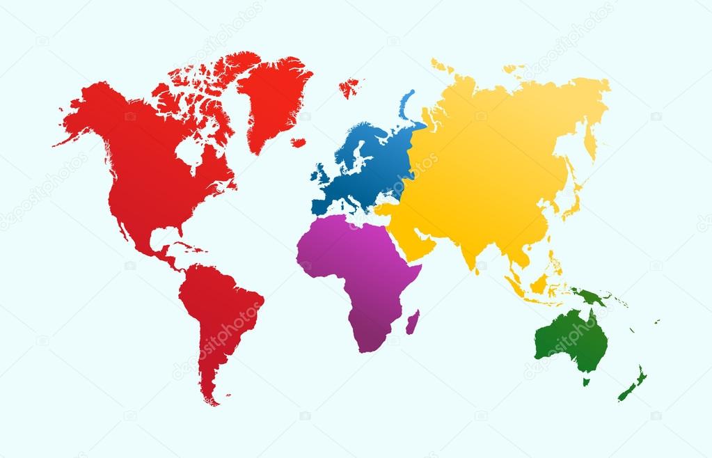
World map, colorful continents atlas EPS10 vector file. — Stock Vector

World map, colorful continents atlas EPS10 vector file. — Vector

World map, colorful continents Atlas illustration. EPS10 vector file organized in layersa for easy editing.

 — Vector by cienpies

Same Series:

World map, colorful countries Atlas illustration. EPS10 vector file organized in layers for easy editing.
World map, colorful countries illustration EPS10 vector file. — Stock Vector
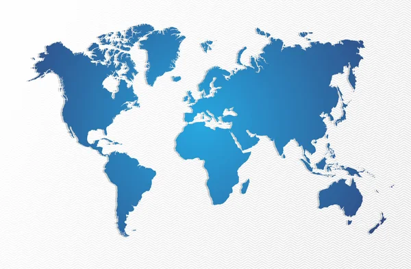
Blue World map isolated shape. EPS10 vector file organized in layers for easy editing.
Blue World map isolated shape EPS10 vector file. — Stock Vector
Multi-language world map text shape. Vector file layered for easy manipulation and custom coloring.
Multilingual translation world map concept — Stock Vector
Abstract background with a map of the world.
World map lined abstract background — Stock Vector
Abstract world map illustration template made of colorful transparent triangle shapes. Modern geometric planet silhouette. EPS10 vector.
Abstract triangle world map concept illustration — Stock Vector
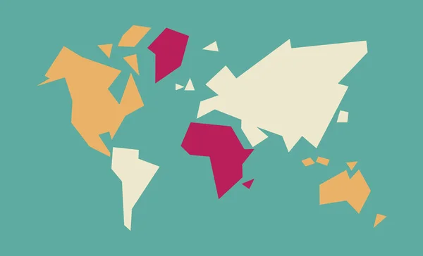
Abstract geometric world map art with colorful continent and country shapes. Concept global atlas illustration. EPS10 vector.
Abstract world map geometric concept illustration — Stock Vector
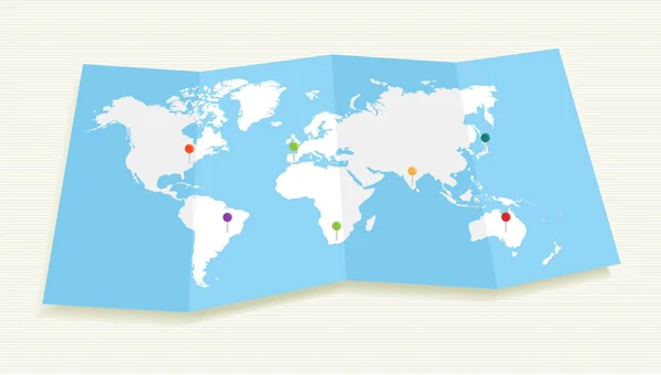
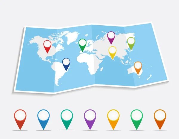
World map with GPS location pushpins travel elements illustration. EPS10 vector file organized in layers for easy editing
World map with GPS location pushpins EPS10 file. — Stock Vector
World map with geo position pins travel elements composition. EPS10 vector file organized in layers for easy editing
World map with geo position pins EPS10 vector file. — Stock Vector
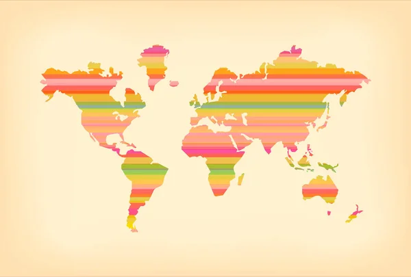
Concept world map illustration template with colorful stripes and vintage paper texture background. EPS10 vector.
Color stripe old world map illustration concept — Stock Vector
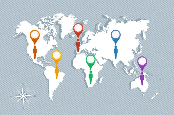
World map, geo position pointers and men figures illustration. EPS10 vector file organized in layers for easy editing.
World map, geo pointers and men figures EPS10 vector file. — Stock Vector
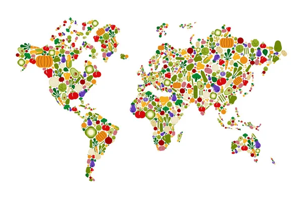
Raw food world map made of flat cartoon vegetable icons. Global concept for fresh healthy diet awareness.
Raw Food World Map Made Flat Cartoon Vegetable Icons Global — Stock Vector
Abstract world map illustration of colorful geometric shapes. Earth planet made with multicolor low poly triangles on isolated background.
Colorful low poly world map geometric concept — Stock Vector
Dot World maps and globes business background. Vector file available.
Dotted World maps and globes — Stock Vector
Concept world map technology template with futuristic elements and digital style design. EPS10 vector.
Modern blue digital world map technology concept — Stock Vector
Black silhouette isolated World map. EPS10 vector file organized in layers for easy editing.
Black silhouette isolated World map EPS10 vector file. — Stock Vector
Empty world map silhouette in gold color, concept illustration. EPS10 vector.
World map gold earth blank empty globe — Stock Vector

Similar Stock Videos:

Danger from China spreads all over the earth. Countries on the world map are highlighted in red. Motion graphics. 4k
Danger from China spreads all over the earth. Countries on the world map are highlighted in red. Motion graphics. — Stock Video
World map of airline airplane flight path. Travel around the world plane route. Motion Animation. Video available in 4K FullHD and HD render footage
World map of airline airplane flight path. Travel around the world plane route — Stock Video
2D World map with red highlighting of Asia. Allocation of the mainland territory. Alpha channel. 4K
2D World map with red highlighting of Asia. Allocation of the mainland territory. Alpha channel. 4K — Stock Video
2D World map with red highlighting of Europe. Allocation of the mainland territory. Alpha channel. 4K
2D World map with red highlighting of Europe. Allocation of the mainland territory. Alpha channel. 4K — Stock Video
4k Global GPS data detect earth map military radar GPS navigation interface.
4k Global GPS data detect earth map military radar GPS navigation interface. — Stock Video
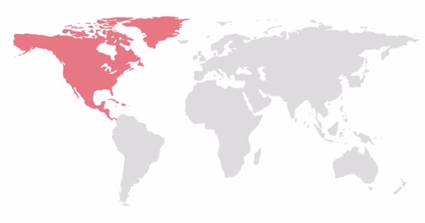
2D World map with red highlighting of North America. Allocation of the mainland territory. Alpha channel. 4K
2D World map with red highlighting of North America. Allocation of the mainland territory. Alpha channel. 4K — Stock Video
A world map and connection line all over the world
A growing network across the world — Stock Video
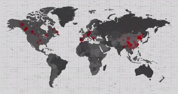
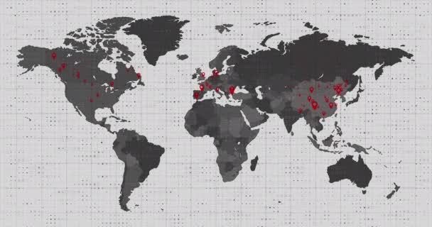
Animation of a world map, continents turning red, showing Covid-19 Coronavirus spread. Global coronavirus Covid 19 pandemic concept digitally generated
Animation World Map Continents Turning Red Showing Covid Coronavirus Spread — Stock Video
Animation of a world map, continents turning red, showing Covid-19 Coronavirus spread. Global coronavirus Covid 19 pandemic concept digitally generated
Animation World Map Continents Turning Red Showing Covid Coronavirus Spread — Stock Video
Ukraine wants peace, no war. World map on which hearts fly in the colors of the flag of Ukraine.
Ukraine Wants Peace War World Map Which Hearts Fly Colors — Stock Video
Animation of network of connections over world map on black bacground. global connections, digital interface and networks concept digitally generated video.
Animation Network Connections World Map Black Bacground Global Connections Digital — Stock Video
Animation of a world map, continents turning red, showing Covid-19 Coronavirus spread. Global coronavirus Covid 19 pandemic concept digitally generated
Animation World Map Continents Turning Red Showing Covid Coronavirus Spread — Stock Video
World map of airline airplane flight path. Travel around the world plane route. Motion Animation. Video available in 4K FullHD and HD render footage
World map of airline airplane flight path. Travel around the world plane route — Stock Video
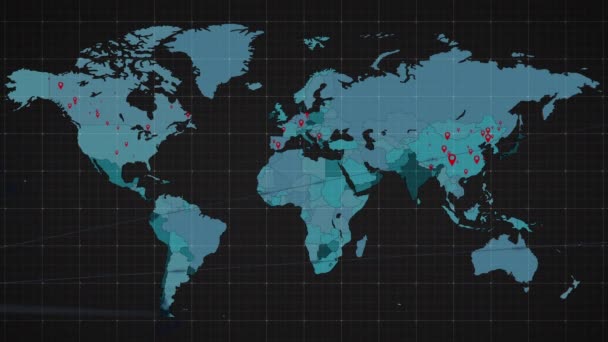
Digital animation of World map against blue shimmering background
World map against blue shimmering background — Stock Video
World Map Background Consisting of Solid Dark Red and Orange Gradient
World Map Background Consisting Solid Dark Red Orange Gradient — Stock Video
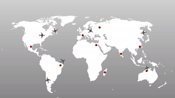
Airplanes fly over the world map fly from the mainland to the mainland
Airplanes Fly World Map Fly Mainland Mainland — Stock Video
Animation of a world map, continents turning red, showing Covid-19 Coronavirus spread. Global coronavirus Covid 19 pandemic concept digitally generated
Animation World Map Continents Turning Red Showing Covid Coronavirus Spread — Stock Video
Digital animation of world map against shimmering blue background
World map against shimmering blue background — Stock Video

Usage Information

You can use this royalty-free vector image "World map, colorful continents atlas EPS10 vector file." for personal and commercial purposes according to the Standard or Extended License. The Standard License covers most use cases, including advertising, UI designs, and product packaging, and allows up to 500,000 print copies. The Extended License permits all use cases under the Standard License with unlimited print rights and allows you to use the downloaded vector files for merchandise, product resale, or free distribution.

This stock vector image is scalable to any size. You can buy and download it in high resolution up to 6200x3988. Upload Date: Oct 9, 2013