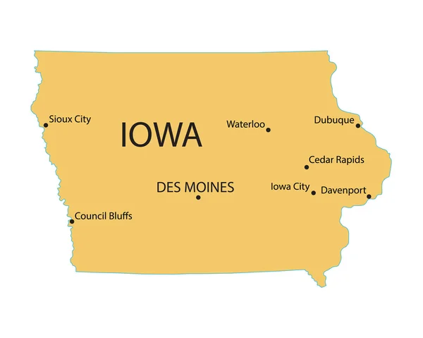
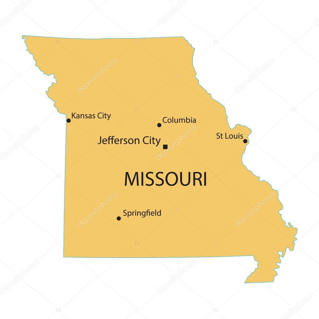
Yellow map of Missouri with indication of largest cities — Stock Vector

Yellow map of Missouri with indication of largest cities — Vector

Yellow map of Missouri with indication of largest cities

 — Vector by chrupka

Similar Stock Videos:

Missouri State of the United States of America. Animated line location marker on the map. Easy to use with screen transparency mode on your video. 4k
Missouri State of the United States of America. Animated line location marker on the map. Easy to use with screen transparency mode on your video. — Stock Video
Line animated map showing the state of Montana from the united state of American. 2d map of Montana. 4k Motion graphics.
Line animated map showing the state of Montana from the united state of American. 2d map of Montana. — Stock Video
Iowa State of the United States of America. Animated 3d gold location marker on the map. Easy to use with screen transparency mode on your video. 4k
Iowa State of the United States of America. Animated 3d gold location marker on the map. Easy to use with screen transparency mode on your video. — Stock Video
Vintage American Map Animation With States Names/ 4k animation of a vintage textured american map background, with names of fifty states
Vintage American Map Animation States Names Animation Vintage Textured American — Stock Video
Missouri State of the United States of America. Animated 3d gold location marker on the map. Easy to use with screen transparency mode on your video. 4k
Missouri State of the United States of America. Animated 3d gold location marker on the map. Easy to use with screen transparency mode on your video. — Stock Video
Line animated map showing the state of Missouri from the united state of america. 2d map of Missouri. 4k
Line animated map showing the state of Missouri from the united state of america. 2d map of Missouri. — Stock Video
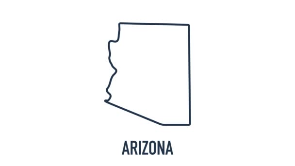
Line animated map showing the state of Arizona from the united state of america. 2d map of Arizona. 4k
Line animated map showing the state of Arizona from the united state of america. 2d map of Arizona. — Stock Video
Line animated map showing the state of North Carolina from the united state of america. 2d map of North Carolina. 4k
Line animated map showing the state of North Carolina from the united state of america. 2d map of North Carolina. — Stock Video
Idaho State of the United States of America. Animated line location marker on the map. Easy to use with screen transparency mode on your video. 4k
Idaho State of the United States of America. Animated line location marker on the map. Easy to use with screen transparency mode on your video. — Stock Video
3d animation of US map formed by individual states
3d animation of US map formed by individual states — Stock Video
Montana State of the United States of America. Animated line location marker on the map. Easy to use with screen transparency mode on your video. 4k
Montana State of the United States of America. Animated line location marker on the map. Easy to use with screen transparency mode on your video. — Stock Video
Map of United States of America showing different states. Animated USA contiguous
Map of United States of America showing different states. Animated USA — Stock Video
Iowa State of the United States of America. Animated line location marker on the map. Easy to use with screen transparency mode on your video. 4k
Iowa State of the United States of America. Animated line location marker on the map. Easy to use with screen transparency mode on your video. — Stock Video
Nebraska State of the United States of America. Animated line location marker on the map. Easy to use with screen transparency mode on your video. 4k
Nebraska State of the United States of America. Animated line location marker on the map. Easy to use with screen transparency mode on your video. — Stock Video
Abstract line animation Missouri State of USA on hexagon style. Missouri state. United States of America. Outline map of Missouri federal state highlighted from map of USA.
Abstract line animation Missouri State of USA on hexagon style. Missouri state. United States of America. Outline map of Missouri federal state highlighted from map of USA — Stock Video
Map of United States of America showing different states. Animated usa contiguous lower 48 u.s. state map on an isolated chroma key background.
Map of United States of America showing different states. Animated usa contiguous lower 48 u.s. state map on an isolated chroma key background — Stock Video
Vintage American Map Animation With States Names/ 4k animation of a vintage textured american map background, with names of fifty states
Vintage American Map Animation States Names Animation Vintage Textured American — Stock Video
New York State of the United States of America. Animated line location marker on the map. Easy to use with screen transparency mode on your video. 4k
New York State of the United States of America. Animated line location marker on the map. Easy to use with screen transparency mode on your video. — Stock Video

Usage Information

You can use this royalty-free vector image "Yellow map of Missouri with indication of largest cities" for personal and commercial purposes according to the Standard or Extended License. The Standard License covers most use cases, including advertising, UI designs, and product packaging, and allows up to 500,000 print copies. The Extended License permits all use cases under the Standard License with unlimited print rights and allows you to use the downloaded vector files for merchandise, product resale, or free distribution.

This stock vector image is scalable to any size. You can buy and download it in high resolution up to 4000x4000. Upload Date: May 7, 2015