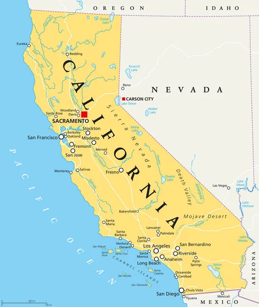
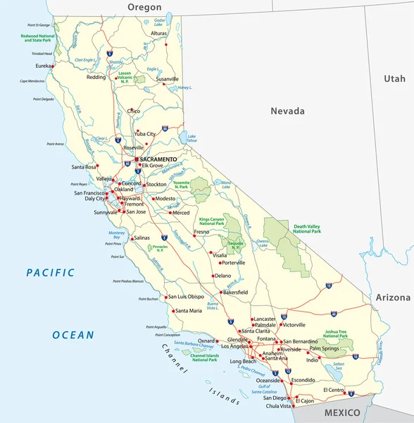
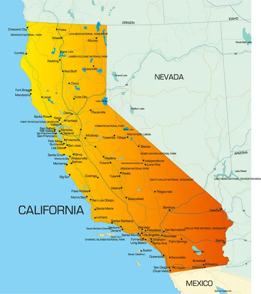
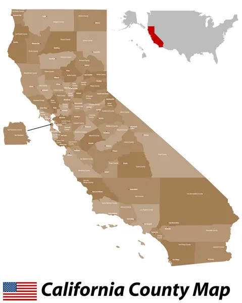
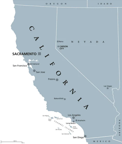
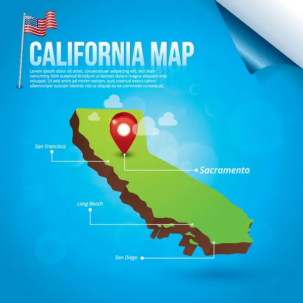
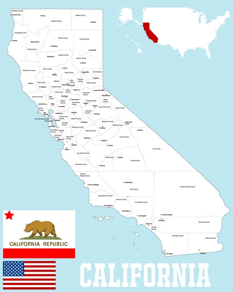
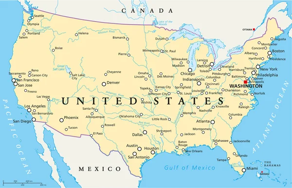
California political map with capital Sacramento, important cities, rivers, lakes. State in the Pacific Region of the United States. Los Angeles, San Francisco. English labeling. Illustration. Vector.
California Political Map Capital Sacramento Important Cities Rivers Lakes State — Stock Vector
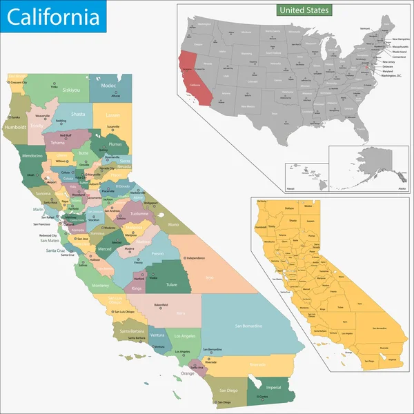
California map
California map — Stock Vector
Map of California
Map of California — Stock Vector
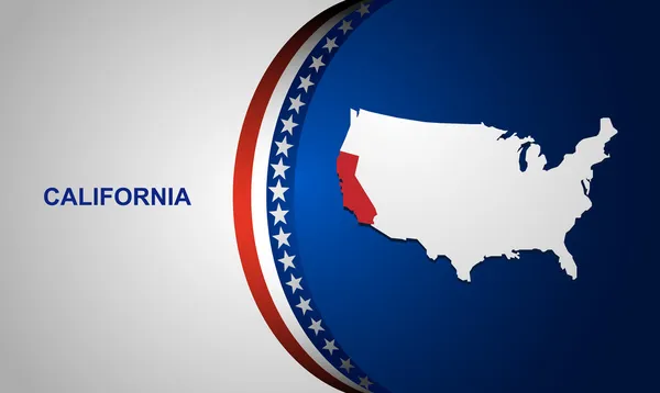
Vector map of United States with indication of California
Vector map of United States with indication of California — Stock Vector
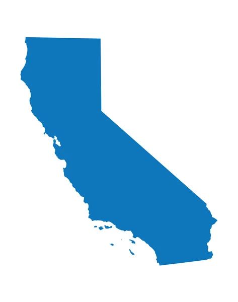
Blue map of California
Blue map of California — Stock Vector
California counties
California counties — Stock Vector
Map of California
Map of California — Stock Vector
California road map
California road map — Stock Vector
California county map
California county map — Stock Vector
California State Map
California State Map — Stock Vector
Vintage California Stamp
Vintage California Stamp — Stock Vector
Map California State
Map California State — Stock Vector
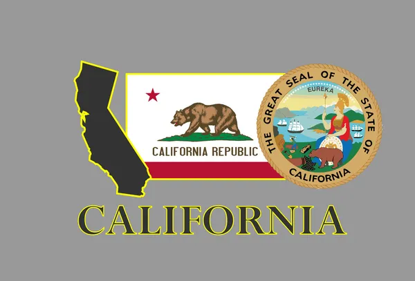
California
California — Stock Vector
Map of the U.S. state of California
Map of the U.S. state of California — Stock Vector
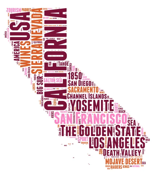
California USA state map vector tag cloud illustration
California USA state map vector tag cloud illustration — Stock Vector
Vector Illustration of Map of California
Vector Illustration of Map of California — Stock Vector
Vector set : vintage paper
Vector set : vintage paper — Stock Vector
California map vector background
California map vector background — Stock Vector
Accurate map of California
Accurate map of California — Stock Vector
California Earthquake Concept. Editable Clip Art.
California Earthquake Concept. Editable Clip Art. — Stock Vector
Vintage sticker in form of California state, USA
Vintage sticker in form of California state, USA — Stock Vector
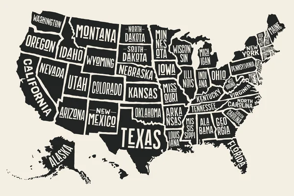
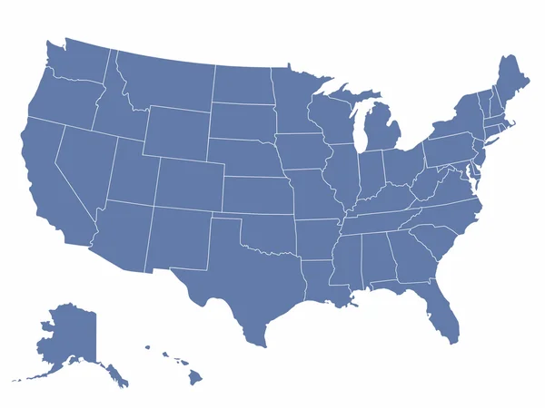
USA map with names of states
USA map with names of states — Stock Vector
California 3D
California 3D — Stock Vector
California stamp
California stamp — Stock Vector
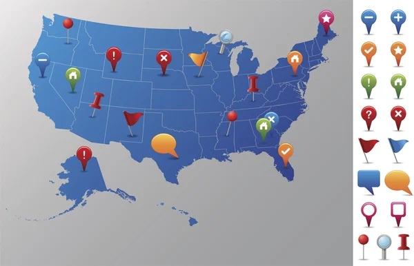
USA Map with GPS Icons.
USA Map with GPS Icons. — Stock Vector
California
California — Stock Vector
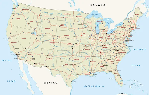
Us interstate highway map
Us interstate highway map — Stock Vector
Map of the U.S. state of California on a white background. Ameri
Map of the U.S. state of California on a white background. Ameri — Stock Vector
California
California — Stock Vector
California state gold label with state map, vector illustration
California state gold label with state map, vector illustration — Stock Vector
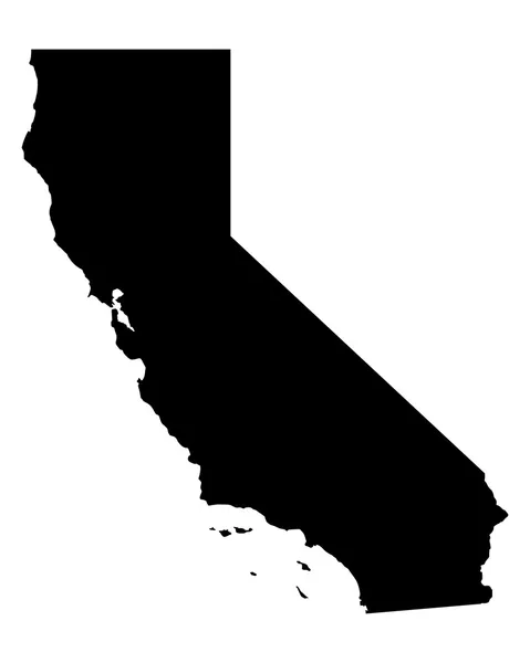
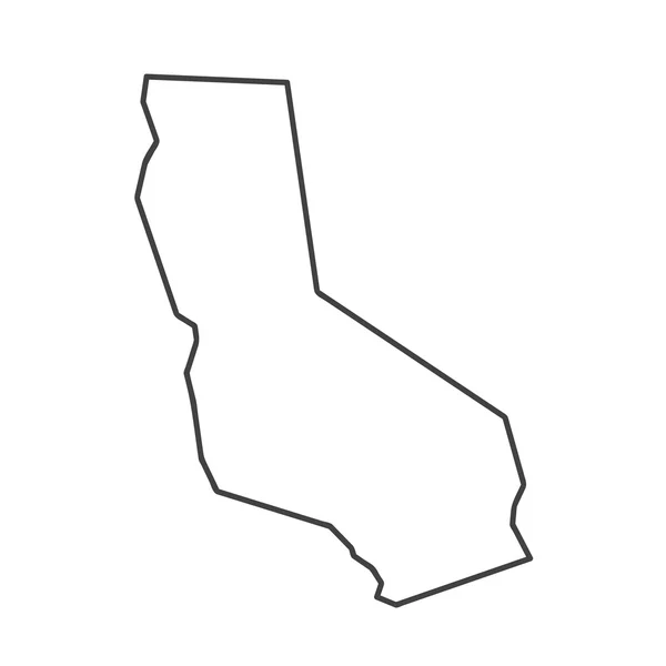
California State isolated map. Black outlines on white background.
California State Isolated Map Black Outlines White Background — Stock Vector
Map of California
Map of California — Stock Vector
Accurate map of California
Accurate map of California — Stock Vector
Map of the U.S. state of California
Map of the U.S. state of California — Stock Vector
California United States political map
California United States political map — Stock Vector
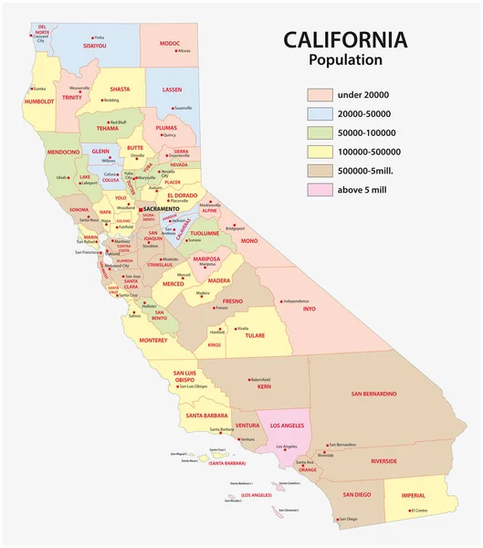
Administrative county map of the federal state of california by population density
Administrative county map of the federal state of california by population density — Stock Vector
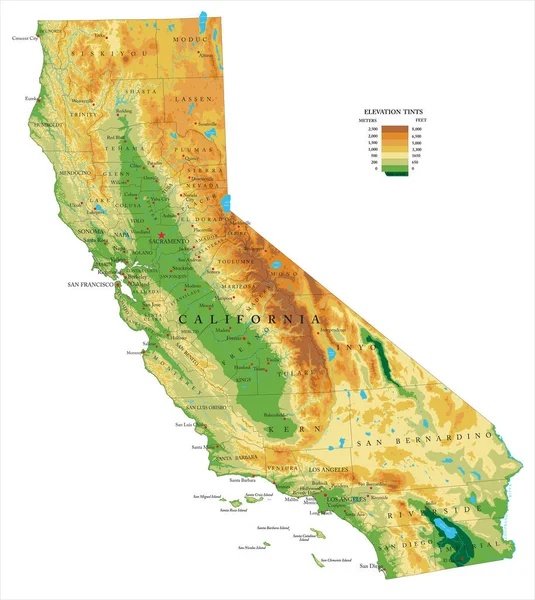
Highly detailed physical map of the California , in vector format,with all the relief forms,regions and big cities.
Highly Detailed Physical Map California Vector Format All Relief Forms — Stock Vector
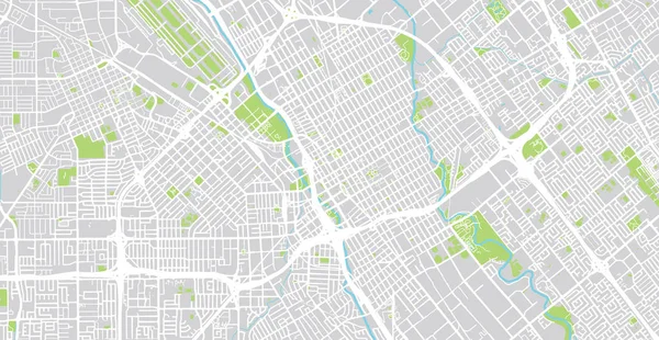
Urban vector city map of SanJose, California, United States of America
Urban Vector City Map Sanjose California United States America — Stock Vector
Red map of California
Red map of California — Stock Vector
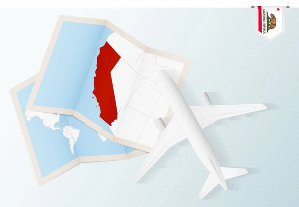
Travel to California, top view airplane with map and flag of California.
Travel California Top View Airplane Map Flag California — Stock Vector
Map of california state
Map California State — Stock Vector
Poster map United States of America with state names
Poster map United States of America with state names — Stock Vector
Map of California
Map of California — Stock Vector
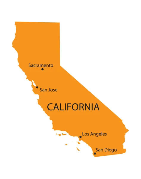
Orange map of California with indication of the biggest cities
Orange map of California with indication of the biggest cities — Stock Vector
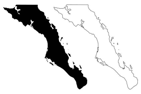
Baja California Sur (United Mexican States, Mexico, federal republic) map vector illustration, scribble sketch Estado Libre y Soberano de Baja California Sur (El Territorio Sur de Baja California) map
Baja California Sur United Mexican States Mexico Federal Republic Map — Stock Vector
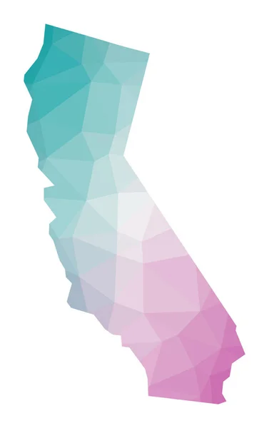
Polygonal map of California Geometric illustration of the us state in emerald amethyst colors
Polygonal map of California Geometric illustration of the us state in emerald amethyst colors — Stock Vector
Map of the United States of America with Famous attractions
Map of the United States of America with Famous attractions — Stock Vector
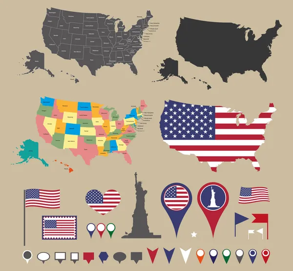
Usa map set and national symbolic
Usa map set and national symbolic — Stock Vector
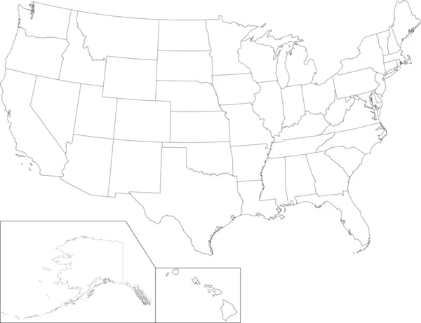
USA map
USA map — Stock Vector
California County Map
California County Map — Stock Vector
Map gold california state 3D vector
Map gold california state 3D vector — Stock Vector
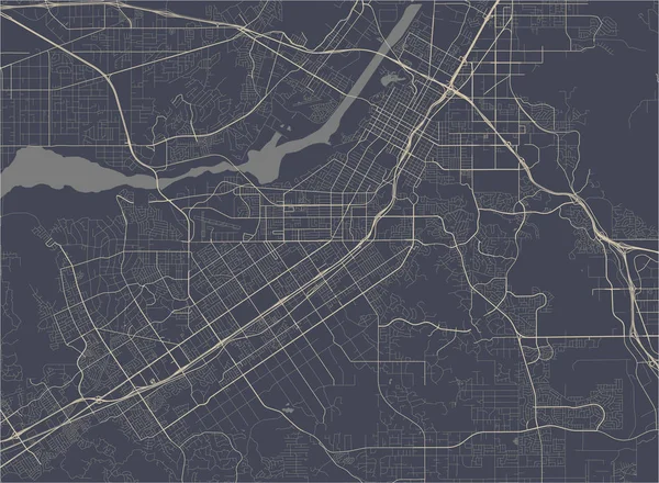
Map of the city of Riverside, California, USA
Map of the city of Riverside, California, USA — Stock Vector
California high detailed map Us state silhouette icon Isolated California black map outline
California high detailed map Us state silhouette icon Isolated California black map outline — Stock Vector
California
California — Stock Vector
California star
California star — Stock Vector
United States of America Political Map
United States of America Political Map — Stock Vector
California stamp
California stamp — Stock Vector
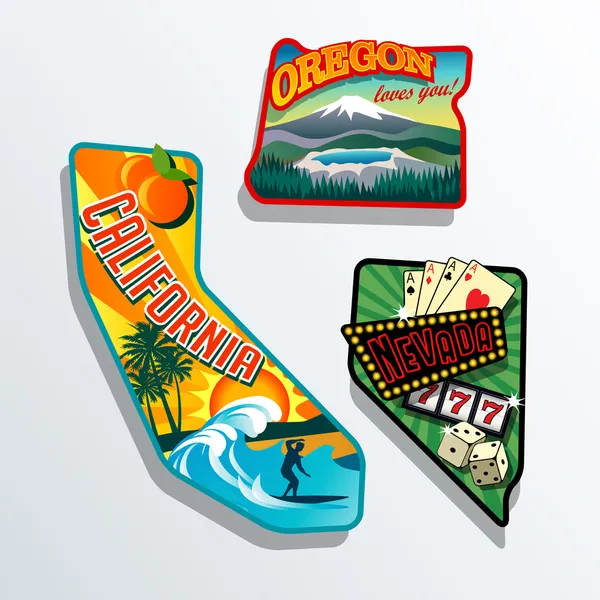
Northwest United states California Nevada Oregon retro stickers
Northwest United states California Nevada Oregon retro stickers — Stock Vector
Orange map of California
Orange map of California — Stock Vector
Vector map of the united states of america
Vector map of the united states of america — Stock Vector
Lake Sawa (Republic of Iraq) map vector illustration, scribble sketch map
Lake Sawa Republic Iraq Map Vector Illustration Scribble Sketch Map — Stock Vector
Mount Athos Region (Greece, Hellenic Republic, Hellas) map vector illustration, scribble sketch Mount Athos Autonomous state map
Mount Athos Region (Greece, Hellenic Republic, Hellas) map vector illustration, scribble sketch Mount Athos Autonomous state map — Stock Vector
Country Shape Illustration of Paraguay
Country Shape Illustration of Paraguay — Stock Vector
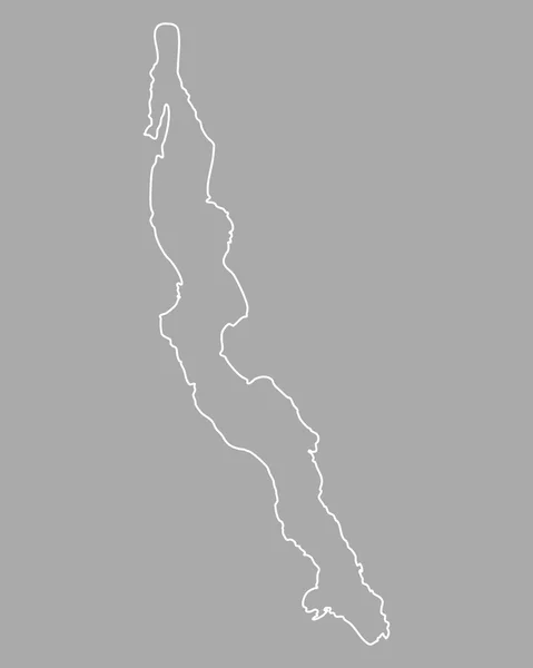
Map of Lake Tanganyika
Map of Lake Tanganyika — Stock Vector
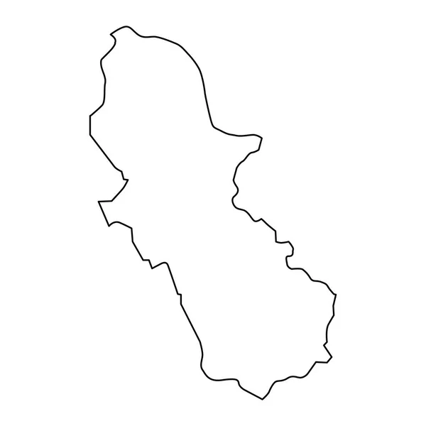
Cuscatlan department map, administrative division of El Salvador.
Cuscatlan Department Map Administrative Division Salvador — Stock Vector
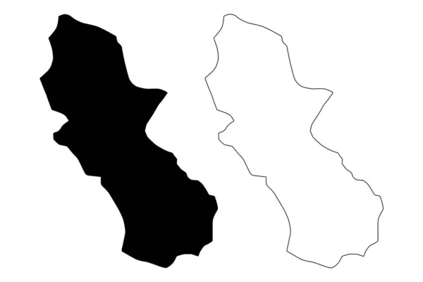
Cuscatlan Department (Republic of El Salvador, Departments of El Salvador) map vector illustration, scribble sketch Cuscatlan ma
Cuscatlan Department (Republic of El Salvador, Departments of El Salvador) map vector illustration, scribble sketch Cuscatlan ma — Stock Vector
California. EPS 10 vector illustration
California. EPS 10 vector illustration — Stock Vector
Rivas Department (Republic of Nicaragua, Departments of Nicaragua) map vector illustration, scribble sketch Rivas (NI-RI) ma
Rivas Department (Republic of Nicaragua, Departments of Nicaragua) map vector illustration, scribble sketch Rivas (NI-RI) ma — Stock Vector
Kajiado County (Republic of Kenya, Rift Valley Province) map vector illustration, scribble sketch Kajiado map
Kajiado County Republic Kenya Rift Valley Province Map Vector Illustration — Stock Vector
Donga Department (Departments of Benin, Republic of Benin, Dahomey) map vector illustration, scribble sketch Donga map
Donga Department (Departments of Benin, Republic of Benin, Dahomey) map vector illustration, scribble sketch Donga map — Stock Vector
Mono County, California map vector
Mono County, California map vector — Stock Vector
Martinsville city County, Commonwealth of Virginia (Independent city, U.S. county, United States of America, USA, U.S., US) map vector illustration, scribble sketch Martinsville map
Martinsville City County Commonwealth Virginia Independent City County United States — Stock Vector
Risaralda Department map silhouette in Colombia
Risaralda Department Map Silhouette Colombia — Stock Vector
Isolated vector Illustration. Black on White background. EPS 10 Illustration
Isolated Vector Illustration Black White Background Eps Illustration — Stock Vector
Ciudad Nezahualcoyotl City (United Mexican States, Mexico) map vector illustration, scribble sketch City of Neza or Nezahualcoyotl map
Ciudad Nezahualcoyotl City United Mexican States Mexico Map Vector Illustration — Stock Vector
Martinsville city County, Commonwealth of Virginia (Independent city, U.S. county, United States of America, USA, U.S., US) map vector illustration, scribble sketch Martinsville map
Martinsville City County Commonwealth Virginia Independent City County United States — Stock Vector
Map of Aruba
Map of Aruba — Stock Vector
Winona County, Minnesota (U.S. county, United States of America, USA, U.S., US) map vector illustration, scribble sketch Winona map
Winona County Minnesota County United States America Usa Map Vector — Stock Vector
Map of Veracruz State - Covid Collage with Empty Space
Map of Veracruz State - Covid Collage with Empty Space — Stock Vector
Nepal - grey 3d-like silhouette map of country area with dropped shadow. Simple flat vector illustration
Nepal - grey 3d-like silhouette map of country area with dropped shadow. Simple flat vector illustration — Stock Vector
Bushehr Province (Provinces of Iran, Islamic Republic of Iran, Persia) map vector illustration, scribble sketch Bushehr map
Bushehr Province Provinces Iran Islamic Republic Iran Persia Map Vector — Stock Vector
Ciudad Nezahualcoyotl City (United Mexican States, Mexico) map vector illustration, scribble sketch City of Neza or Nezahualcoyotl map
Ciudad Nezahualcoyotl City United Mexican States Mexico Map Vector Illustration — Stock Vector
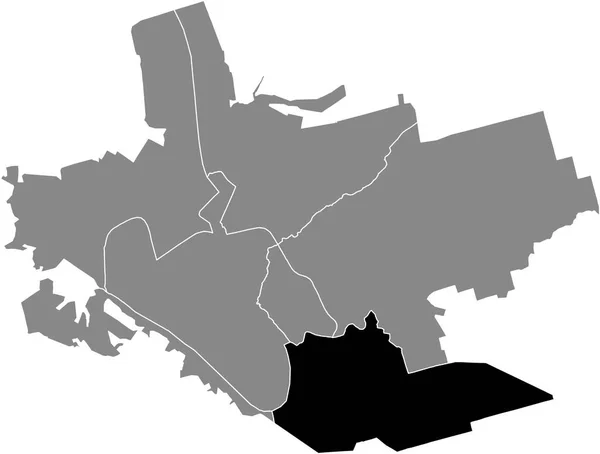
Black flat blank highlighted location map of the KOMUNARSKY RAION inside gray administrative map of Zaporizhzhia, Ukraine
Black Flat Blank Highlighted Location Map Komunarsky Raion Gray Administrative — Stock Vector
Samsun City (Republic of Turkey, Black Sea Region) map vector illustration, scribble sketch City of Samsun map
Samsun City Republic Turkey Black Sea Region Map Vector Illustration — Stock Vector
Aruba map outline
Aruba map outline — Stock Vector
Country Shape Illustration of Paraguay
Country Shape Illustration of Paraguay — Stock Vector
Castries City (Saint Lucia island, Iyonola, Hewanorra) map vector illustration, scribble sketch City of Castries map
Castries City Saint Lucia Island Iyonola Hewanorra Map Vector Illustration — Stock Vector
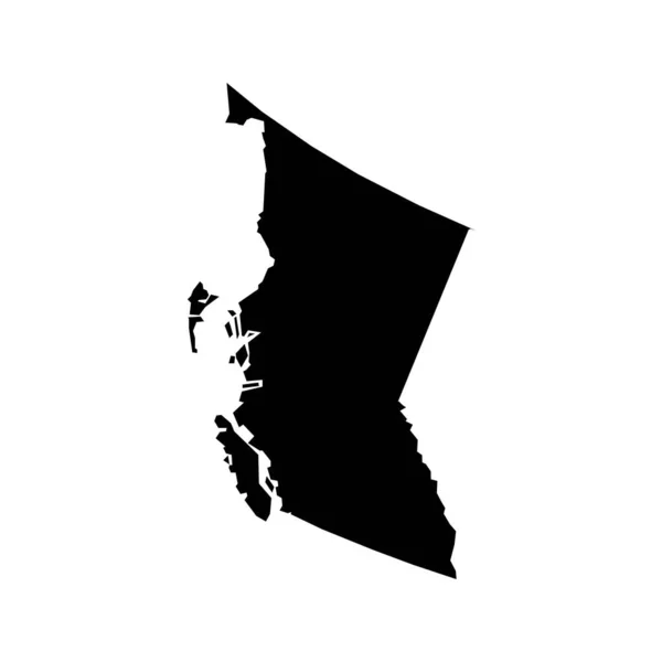
British Columbia map, province of Canada. Vector illustration.
British Columbia Map Province Canada Vector Illustration — Stock Vector
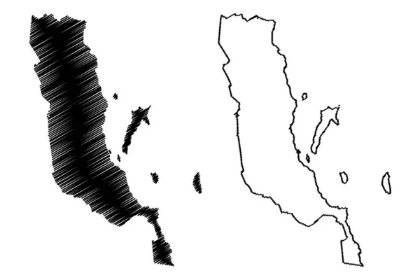
Loreto municipality (Free and Sovereign State of Baja California Sur, Mexico, United Mexican States) map vector illustration, scribble sketch Loreto map
Loreto Municipality Free Sovereign State Baja California Sur Mexico United — Stock Vector
Hela Province (Independent State of Papua New Guinea, PNG, Provinces of Papua New Guinea) map vector illustration, scribble sketch Hela ma
Hela Province (Independent State of Papua New Guinea, PNG, Provinces of Papua New Guinea) map vector illustration, scribble sketch Hela ma — Stock Vector
Isolated vector Illustration. Black on White background. EPS 10 Illustration
Isolated Vector Illustration Black White Background Eps Illustration — Stock Vector
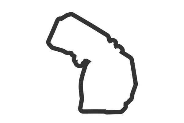
Michigan state map. US state map. Michigan outline symbol. Vector illustration
Michigan State Map State Map Michigan Outline Symbol Vector Illustration — Stock Vector
Abstract Bahamas Silhouette Detailed Map
Abstract Bahamas Silhouette Detailed Map — Stock Vector
Nepal - solid black outline border map of country area. Simple flat vector illustration
Nepal - solid black outline border map of country area. Simple flat vector illustration — Stock Vector
Gilan province map, administrative division of Iran. Vector illustration.
Gilan Province Map Administrative Division Iran Vector Illustration — Stock Vector
Clermont and Darke County, Ohio State (U.S. county, United States of America, USA, U.S., US) map vector illustration, scribble sketch map
Clermont Darke County Ohio State County United States America Usa — Stock Vector
Jacobina municipality (Bahia state, Municipalities of Brazil, Federative Republic of Brazil) map vector illustration, scribble sketch Jacobina map
Jacobina Municipality Bahia State Municipalities Brazil Federative Republic Brazil Map — Stock Vector
Map of British Columbia
Map of British Columbia — Stock Vector
Manassas Park city County, Commonwealth of Virginia (Independent city, U.S. county, United States of America, USA, U.S., US) map vector illustration, scribble sketch Manassas Park map
Manassas Park City County Commonwealth Virginia Independent City County United — Stock Vector

California Map Vector: Finding the Perfect Visual for Your Project

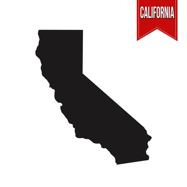
When it comes to visually representing California on your project, using a California map vector is an excellent choice. These maps are highly detailed and have a range of design options available to fit your project's needs. Whether you're creating a graphic for a website or a poster for a business, a California map vector is a great way to showcase the state's unique features.

The Types of California Map Vectors Available

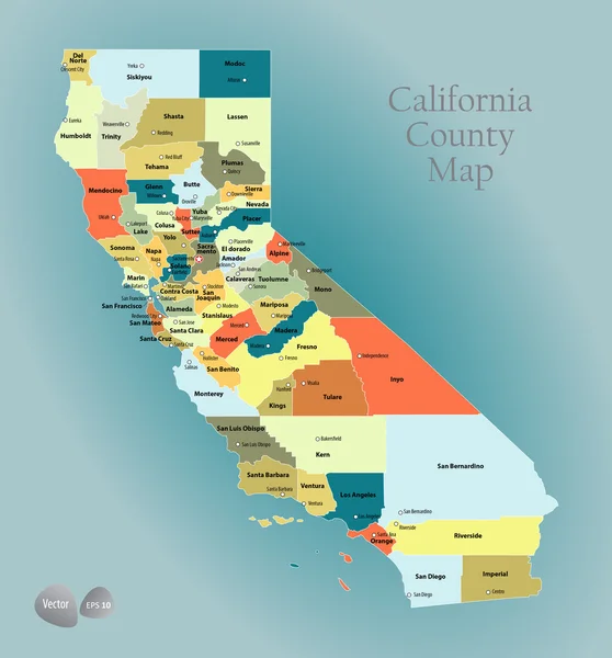
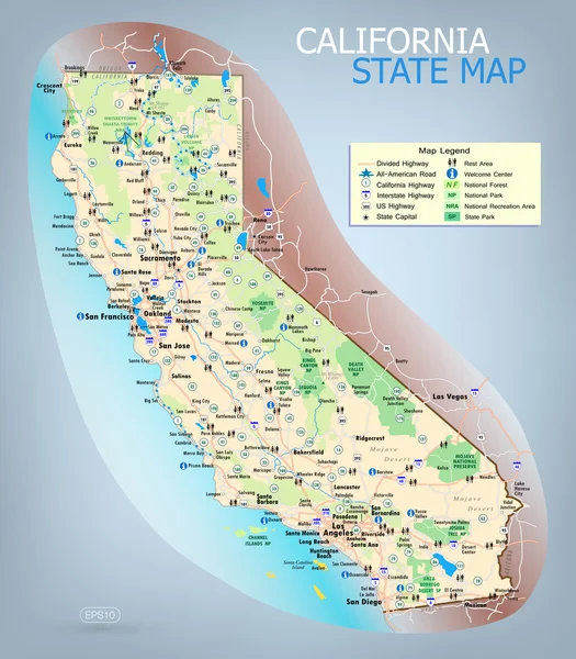
There are several types of California map vectors available for use in your project. You can choose from simple black and white maps, colorful maps depicting state landmarks, or more abstract stylized designs. Depending on the project's audience, you may choose to display geographic information, including city names, landmarks, and major highways or omit these details altogether. Regardless of the type of California map vector you choose, you'll find a design that fits perfectly with your project's overall aesthetic.

Where Can You Use California Map Vectors?

A California map vector can be used in a variety of different projects. Common uses include designing infographics, creating maps for websites, and adding visuals to social media posts. They can also be used in print materials, such as brochures, flyers, and posters, to highlight specific areas of California relevant to the project's message. By incorporating a California map vector, you can add an extra layer of depth and detail to your design, making it more visually engaging and memorable for your audience.

The Benefits of Using a California Map Vector

Using a California map vector provides plenty of benefits for your project. First and foremost, they offer a high level of detail that traditional photographs or simpler graphics cannot match. This level of detail adds credibility to your design and helps viewers connect with your content. Additionally, by using a California map vector, you can highlight specific areas or landmarks with ease, adding a layer of interactivity to your project. Lastly, a California map vector is easy to customize to fit your project's unique needs and can be scaled to fit any size without losing resolution.

Tips for Using a California Map Vector in Your Project

When using a California map vector in your project, it's important to keep some things in mind. Firstly, ensure that the map's level of detail is appropriate for your audience. If the map is too detailed, it may be overwhelming and difficult to understand. On the other hand, if it's too simple, it may not convey the message correctly. Secondly, consider adding some text to the map to provide context and help viewers understand the information being displayed. Lastly, make sure the map fits with your project's overall design scheme, incorporating the right colors, fonts, and style for a cohesive look and feel.

In conclusion, a California map vector is an excellent visual tool to add to your project. They come in a range of designs and provide a high level of detail for any project. By following the tips above and being aware of the different types of California map vectors available, you can create a map that helps your project stand out and be remembered.