Illinois outline Stock Vector Images

100,000 Illinois outline vector art & graphics are available under a royalty-free license

  • Best Match
  • Fresh
  • Popular
1-100 of 100,000
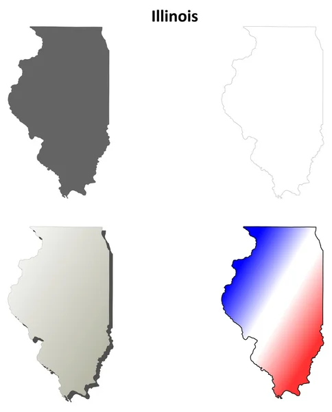
Illinois outline map set
Illinois outline map set — Stock Vector
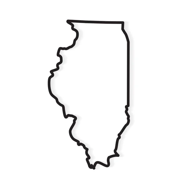
Black outline of Illinois map- vector illustration
Black outline of Illinois map- vector illustration — Stock Vector
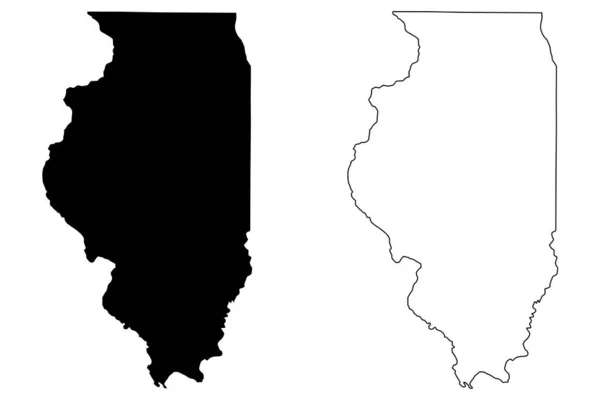
Illinois IL state Maps. Black silhouette and outline isolated on a white background. EPS Vector
Illinois State Maps Black Silhouette Outline Isolated White Background Eps — Stock Vector
Set of vector polygonal Illinois maps.
Set of vector polygonal Illinois maps. — Stock Vector
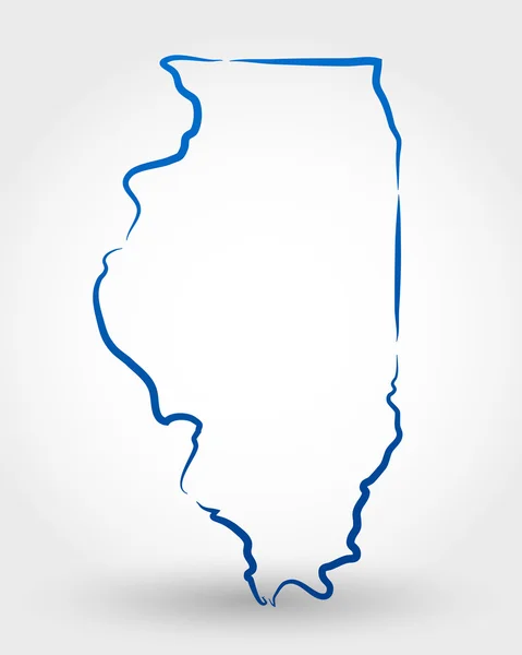
Map of Illinois
Map of Illinois — Stock Vector
Map of the U.S. state of Illinois
Map of the U.S. state of Illinois — Stock Vector
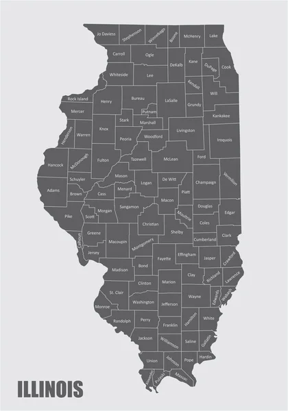
Illinois counties map
Illinois counties map — Stock Vector
Illinois
Illinois — Stock Vector
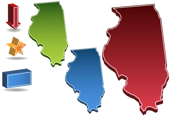
Illinois 3D
Illinois 3D — Stock Vector
Doodle vector map of Illinois state of USA.
Doodle vector map of Illinois state of USA. — Stock Vector
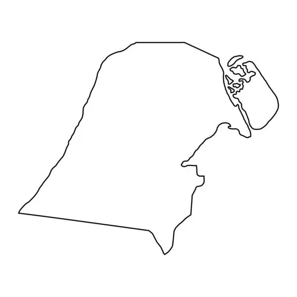
Jahra governorate, administrative division of the country of Kuwait. Vector illustration.
Jahra Governorate Administrative Division Country Kuwait Vector Illustration — Stock Vector
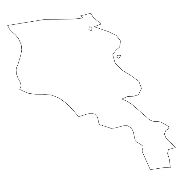
Armenia - solid black outline border map of country area. Simple flat vector illustration
Armenia - solid black outline border map of country area. Simple flat vector illustration — Stock Vector
Black and white vector illustration of a snake
Black White Vector Illustration Snake — Stock Vector
Accurate map of Borkum
Accurate map of Borkum — Stock Vector
Chisago County, Minnesota (U.S. county, United States of America, USA, U.S., US) map vector illustration, scribble sketch Chisago map
Chisago County Minnesota County United States America Usa Map Vector — Stock Vector
White flat blank vector administrative map of the 12TH ARONDISSEMENT (DE REUILLY), PARIS, FRANCE with black border lines of its quarters
White Flat Blank Vector Administrative Map 12Th Arondissement Reuilly Paris — Stock Vector
Highly detailed Kuwait map with borders isolated on background
Highly Detailed Kuwait Map Borders Isolated Background — Stock Vector
Surrey City (Canada, British Columbia Province) map vector illustration, scribble sketch City of Surrey map
Surrey City Canada British Columbia Province Map Vector Illustration Scribble — Stock Vector
Amelia Rodrigues municipality (Bahia state, Municipalities of Brazil, Federative Republic of Brazil) map vector illustration, scribble sketch Amelia Rodrigues map
Amelia Rodrigues Municipality Bahia State Municipalities Brazil Federative Republic Brazil — Stock Vector
St. Lucie County, Florida (U.S. county, United States of America, USA, U.S., US) map vector illustration, scribble sketch Saint Lucie map
Lucie County Florida County United States America Usa Map Vector — Stock Vector
Umm Salal municipality, administrative division of the country of Qatar. Vector illustration.
Umm Salal Municipality Administrative Division Country Qatar Vector Illustration — Stock Vector
Dhi Qar Governorate map, administrative division of Iraq. Vector illustration.
Dhi Qar Governorate Map Administrative Division Iraq Vector Illustration — Stock Vector
Delaware map on white background
Delaware Map White Background — Stock Vector
Chad - 3D black thin outline silhouette map of country area. Simple flat vector illustration
Chad - 3D black thin outline silhouette map of country area. Simple flat vector illustration — Stock Vector
Irving City ( United States cities, United States of America, usa city) map vector illustration, scribble sketch City of Irving map
Irving City ( United States cities, United States of America, usa city) map vector illustration, scribble sketch City of Irving map — Stock Vector
Chihuahua - state (United Mexican States, Mexico, federal republic) map vector illustration, scribble sketch Free and Sovereign State of Chihuahua map
Chihuahua State United Mexican States Mexico Federal Republic Map Vector — Stock Vector
Namibia - solid black outline border map of country area. Simple flat vector illustration
Namibia - solid black outline border map of country area. Simple flat vector illustration — Stock Vector
Island caribbean roseau icon in Outline style
Island Caribbean Roseau Icon Outline Style — Stock Vector
America chicago city icon in Outline style
America Chicago City Icon Outline Style — Stock Vector
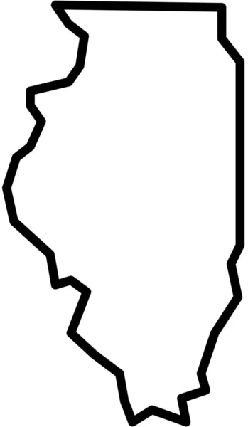
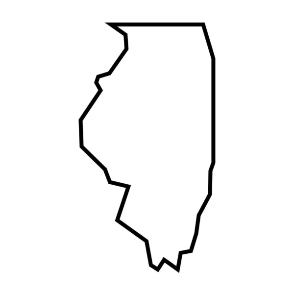
Illinois state of United States of America, USA. Simplified thick black outline map. Simple flat vector illustration
Illinois State United States America Usa Simplified Thick Black Outline — Stock Vector
Illustrated Country Shape of Tanzania
Illustrated Country Shape of Tanzania — Stock Vector
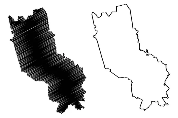
Long An Province (Socialist Republic of Vietnam, Subdivisions of Vietnam) map vector illustration, scribble sketch Tinh Long An map
Long Province Socialist Republic Vietnam Subdivisions Vietnam Map Vector Illustration — Stock Vector
Ghana - 3D black thin outline silhouette map of country area. Simple flat vector illustration
Ghana - 3D black thin outline silhouette map of country area. Simple flat vector illustration — Stock Vector
National flag, map in flat modern vector illustration style
National Flag Map Flat Modern Vector Illustration Style — Stock Vector
Dunn County, North Dakota State (U.S. county, United States of America, USA, U.S., US) map vector illustration, scribble sketch Dunn map
Dunn County North Dakota State County United States America Usa — Stock Vector
Box Elder County, State of Utah (U.S. county, United States of America, USA, U.S., US) map vector illustration, scribble sketch Box Elder map
Box Elder County State Utah County United States America Usa — Stock Vector
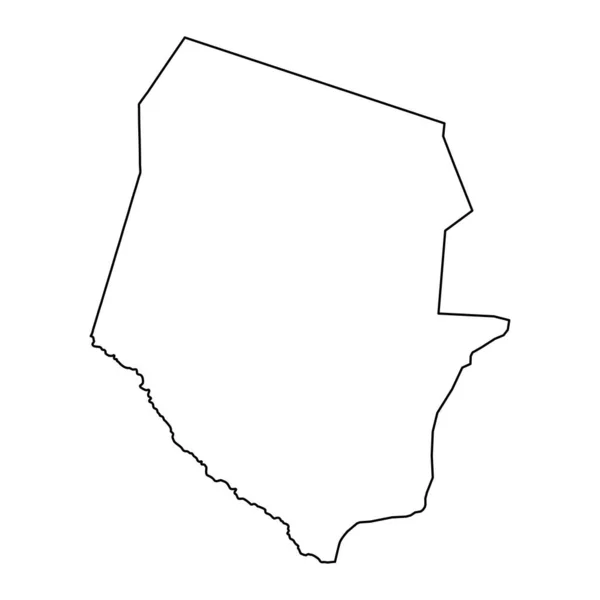
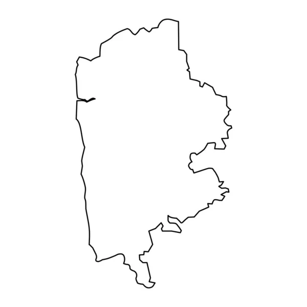
Boqueron department map, department of Paraguay. Vector illustration.
Boqueron Department Map Department Paraguay Vector Illustration — Stock Vector
Garden Grove City (United States cities, United States of America, usa city) map vector illustration, scribble sketch City of Garden Grove map
Garden Grove City (United States cities, United States of America, usa city) map vector illustration, scribble sketch City of Garden Grove map — Stock Vector
New Jersey map. New Jersey linear style. linear icon
New Jersey Map New Jersey Linear Style Linear Icon — Stock Vector
Putnam County, Illinois (U.S. county, United States of America, USA, U.S., US) map vector illustration, scribble sketch Putnam map
Putnam County Illinois County United States America Usa Map Vector — Stock Vector
Aloja Municipality (Republic of Latvia, Administrative divisions of Latvia, Municipalities and their territorial units) map vector illustration, scribble sketch Aloja map
Aloja Municipality Republic Latvia Administrative Divisions Latvia Municipalities Territorial Units — Stock Vector
Escarcega municipality (Free and Sovereign State of Campeche, Mexico, United Mexican States) map vector illustration, scribble sketch map
Escarcega Municipality Free Sovereign State Campeche Mexico United Mexican States — Stock Vector
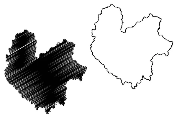
Kanem Region (Regions of Chad, Republic of Chad) map vector illustration, scribble sketch Kanem map
Kanem Region (Regions of Chad, Republic of Chad) map vector illustration, scribble sketch Kanem map — Stock Vector
Agdash district map, administrative division of Azerbaijan.
Agdash District Map Administrative Division Azerbaijan — Stock Vector
White flat blank vector administrative map of the 14TH ARONDISSEMENT (DE L'OBSERVATOIRE), PARIS, FRANCE with black border lines of its quarters
White Flat Blank Vector Administrative Map 14Th Arondissement Observatoire Paris — Stock Vector
Nizhny Tagil City (Russian Federation, Russia, Sverdlovsk Oblast) map vector illustration, scribble sketch City of Nizhny Tagil map
Nizhny Tagil City Russian Federation Russia Sverdlovsk Oblast Map Vector — Stock Vector
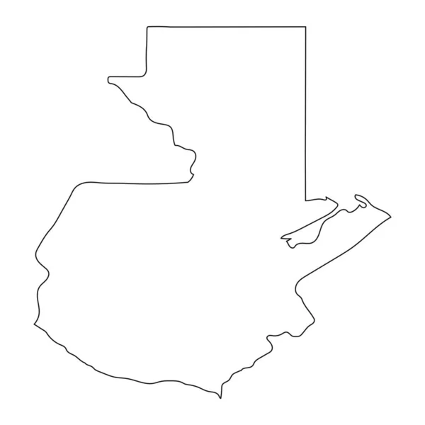
Vector map Guatemala. Isolated vector Illustration. Black on White background. EPS 10 Illustration.
Vector Map Guatemala Isolated Vector Illustration Black White Background Eps — Stock Vector
Limbazi district map, administrative division of Latvia. Vector illustration.
Limbazi District Map Administrative Division Latvia Vector Illustration — Stock Vector
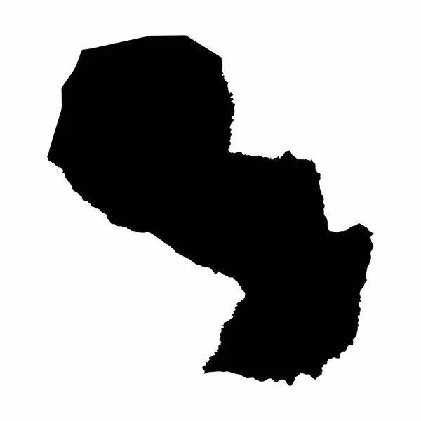
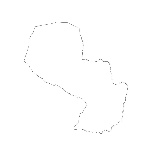
Vector map Paraguay. Isolated vector Illustration. Black on White background. EPS 10 Illustration.
Vector Map Paraguay Isolated Vector Illustration Black White Background Eps — Stock Vector
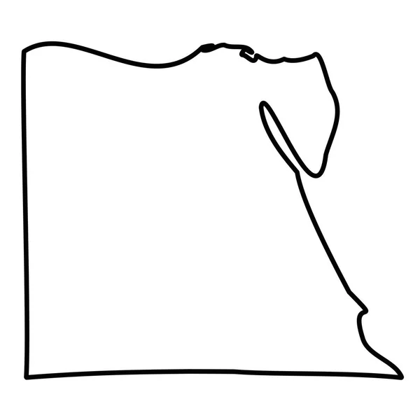
Egypt - solid black outline border map of country area. Simple flat vector illustration
Egypt - solid black outline border map of country area. Simple flat vector illustration — Stock Vector
Samana (Dominican Republic, Hispaniola, Provinces of the Dominican Republic) map vector illustration, scribble sketch Samana ma
Samana (Dominican Republic, Hispaniola, Provinces of the Dominican Republic) map vector illustration, scribble sketch Samana ma — Stock Vector
Gorinchem municipality (Kingdom of the Netherlands, Holland, South Holland or Zuid-Holland province) map vector illustration, scribble sketch Gorkum map
Gorinchem Municipality Kingdom Netherlands Holland South Holland Zuid Holland Province — Stock Vector
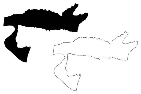
Ismailia Governorate map, administrative division of Egypt. Vector illustration.
Ismailia Governorate Map Administrative Division Egypt Vector Illustration — Stock Vector
Wicomico County, Maryland (U.S. county, United States of America, USA, U.S., US) map vector illustration, scribble sketch Wicomico map
Wicomico County Maryland County United States America Usa Map Vector — Stock Vector
Tucuman City (Argentine Republic, Tucuman Province) map vector illustration, scribble sketch City of San Miguel de Tucuman map
Tucuman City Argentine Republic Tucuman Province Map Vector Illustration Scribble — Stock Vector
Paraguay Map Silhouette Vector illustration Eps 10
Paraguay Map Silhouette Vector illustration Eps 10 — Stock Vector
Sao Gabriel da Cachoeira municipality (Amazonas state, Municipalities of Brazil, Federative Republic of Brazil) map vector illustration, scribble sketch Sao Gabriel da Cachoeira map
Sao Gabriel Cachoeira Municipality Amazonas State Municipalities Brazil Federative Republic — Stock Vector
Accurate map of Amrum
Accurate map of Amrum — Stock Vector
Muthanna Governorate map, administrative division of Iraq. Vector illustration.
Muthanna Governorate Map Administrative Division Iraq Vector Illustration — Stock Vector
Mississippi County, Arkansas (U.S. county, United States of America,USA, U.S., US) map vector illustration, scribble sketch Mississippi map
Mississippi County, Arkansas (U.S. county, United States of America,USA, U.S., US) map vector illustration, scribble sketch Mississippi map — Stock Vector
Kanpur City (Republic of India, Uttar Pradesh State) map vector illustration, scribble sketch City of Cawnpore map
Kanpur City Republic India Uttar Pradesh State Map Vector Illustration — Stock Vector
Aragua State map vecto
Aragua State map vecto — Stock Vector
Dot Stroke Egypt Map
Dot Stroke Egypt Map — Stock Vector
Miguel Calmon municipality (Bahia state, Municipalities of Brazil, Federative Republic of Brazil) map vector illustration, scribble sketch Miguel Calmon map
Miguel Calmon Municipality Bahia State Municipalities Brazil Federative Republic Brazil — Stock Vector
New Jersey map on white background
New Jersey Map White Background — Stock Vector
Simple (only sharp corners) map of Poland vector drawing. Mercat
Simple (only sharp corners) map of Poland vector drawing. Mercat — Stock Vector
Thai Nguyen Province (Socialist Republic of Vietnam, Subdivisions of Vietnam) map vector illustration, scribble sketch Tinh Thai Nguyen map
Thai Nguyen Province Socialist Republic Vietnam Subdivisions Vietnam Map Vector — Stock Vector
Batalha municipality (Alagoas state, Municipalities of Brazil, Federative Republic of Brazil) map vector illustration, scribble sketch Batalha map
Batalha Municipality Alagoas State Municipalities Brazil Federative Republic Brazil Map — Stock Vector
Central Equatoria state (States of South Sudan, Equatoria Region) map vector illustration, scribble sketch Central Equatoria map
Central Equatoria State States South Sudan Equatoria Region Map Vector — Stock Vector
Armenia - 3D black thin outline silhouette map of country area. Simple flat vector illustration
Armenia - 3D black thin outline silhouette map of country area. Simple flat vector illustration — Stock Vector
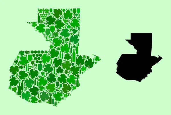
Map of Guatemala - Collage of Wine and Grapes Leaves
Map of Guatemala - Collage of Wine and Grapes Leaves — Stock Vector
Greene County, Georgia (U.S. county, United States of America,USA, U.S., US) map vector illustration, scribble sketch Greene map
Greene County Georgia County United States America Usa Map Vector — Stock Vector
Highly detailed Guatemala map with borders isolated on background
Highly Detailed Guatemala Map Borders Isolated Background — Stock Vector
Paraguay map vector
Paraguay map vector — Stock Vector
Dot Stroke Georgia State Map
Dot Stroke Georgia State Map — Stock Vector
Pancas municipality (Espirito Santo state, Municipalities of Brazil, Federative Republic of Brazil) map vector illustration, scribble sketch Pancas map
Pancas Municipality Espirito Santo State Municipalities Brazil Federative Republic Brazil — Stock Vector
Turner County, Georgia (U.S. county, United States of America, USA, U.S., US) map vector illustration, scribble sketch Turner map
Turner County Georgia County United States America Usa Map Vector — Stock Vector
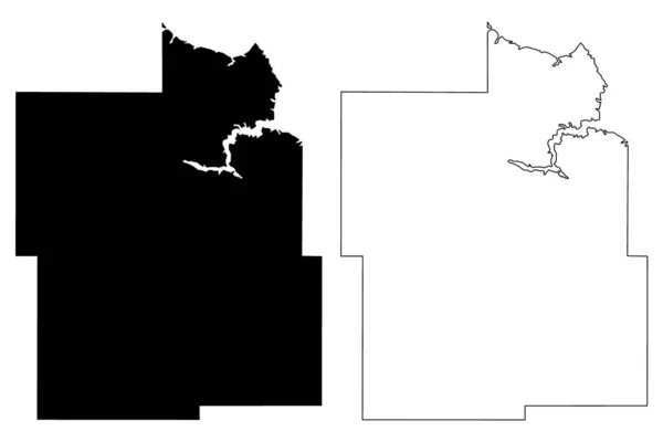
Phillips County, Montana (U.S. county, United States of America, USA, U.S., US) map vector illustration, scribble sketch Phillips map
Phillips County Montana County United States America Usa Map Vector — Stock Vector
Mortugaba municipality (Bahia state, Municipalities of Brazil, Federative Republic of Brazil) map vector illustration, scribble sketch Mortugaba map
Mortugaba Municipality Bahia State Municipalities Brazil Federative Republic Brazil Map — Stock Vector
West Dunbartonshire map, council area of Scotland. Vector illustration.
West Dunbartonshire Map Council Area Scotland Vector Illustration — Stock Vector
Haifa City (State of Israel) map vector illustration, scribble sketch City of Haifa map
Haifa City State Israel Map Vector Illustration Scribble Sketch City — Stock Vector
Backgrounds of Poland
Backgrounds of Poland — Stock Vector
Cuyahoga and Champaign County, Ohio State (U.S. county, United States of America, USA, U.S., US) map vector illustration, scribble sketch map
Cuyahoga Champaign County Ohio State County United States America Usa — Stock Vector
Union County, Louisiana (U.S. county, United States of America, USA, U.S., US) map vector illustration, scribble sketch Union Parish map
Union County Louisiana County United States America Usa Map Vector — Stock Vector
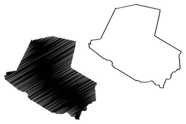
Guera Region (Regions of Chad, Republic of Chad) map vector illustration, scribble sketch Guera map
Guera Region (Regions of Chad, Republic of Chad) map vector illustration, scribble sketch Guera map — Stock Vector
Armenia - solid black outline border map of country area. Simple flat vector illustration
Armenia - solid black outline border map of country area. Simple flat vector illustration — Stock Vector
Powell County, Montana (U.S. county, United States of America, USA, U.S., US) map vector illustration, scribble sketch Powell map
Powell County Montana County United States America Usa Map Vector — Stock Vector
Lausanne City (Swiss Confederation, Switzerland) map vector illustration, scribble sketch City of Lausanne map
Lausanne City Swiss Confederation Switzerland Map Vector Illustration Scribble Sketch — Stock Vector
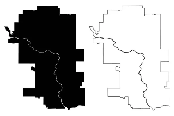
Calgary City (Canada, Alberta Province) map vector illustration, scribble sketch City of Calgary map
Calgary City Canada Alberta Province Map Vector Illustration Scribble Sketch — Stock Vector
Africa mauritania nouakchott icon in Outline style
Africa Mauritania Nouakchott Icon Outline Style — Stock Vector
Iuna municipality (Espirito Santo state, Municipalities of Brazil, Federative Republic of Brazil) map vector illustration, scribble sketch Ina map
Iuna Municipality Espirito Santo State Municipalities Brazil Federative Republic Brazil — Stock Vector
Meerssen town and municipality (Kingdom of the Netherlands, Holland, Limburg province) map vector illustration, scribble sketch Meersje map
Meerssen Town Municipality Kingdom Netherlands Holland Limburg Province Map Vector — Stock Vector
Carroll County, Kentucky (U.S. county, United States of America, USA, U.S., US) map vector illustration, scribble sketch Carroll map
Carroll County Kentucky County United States America Usa Map Vector — Stock Vector
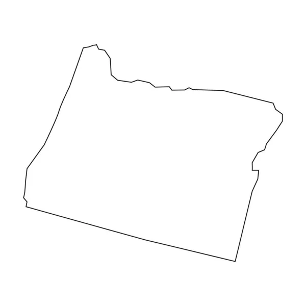
Oregon map. Oregon linear style. linear icon
Oregon Map Oregon Linear Style Linear Icon — Stock Vector
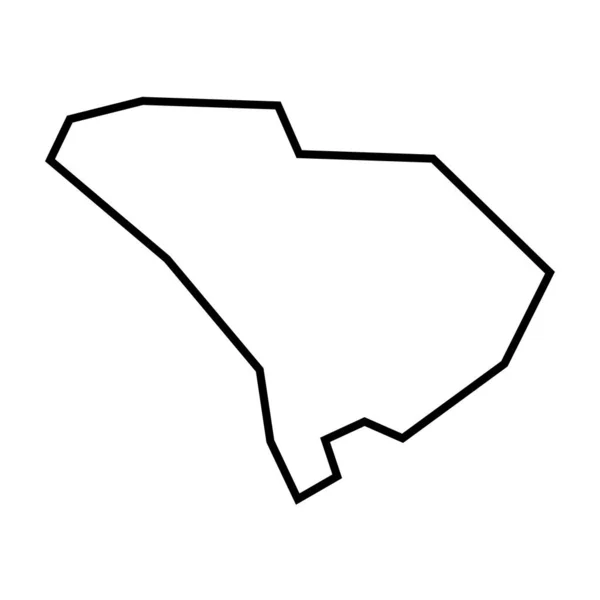
South Carolina state of United States of America, USA. Simplified thick black outline map. Simple flat vector illustration
South Carolina State United States America Usa Simplified Thick Black — Stock Vector
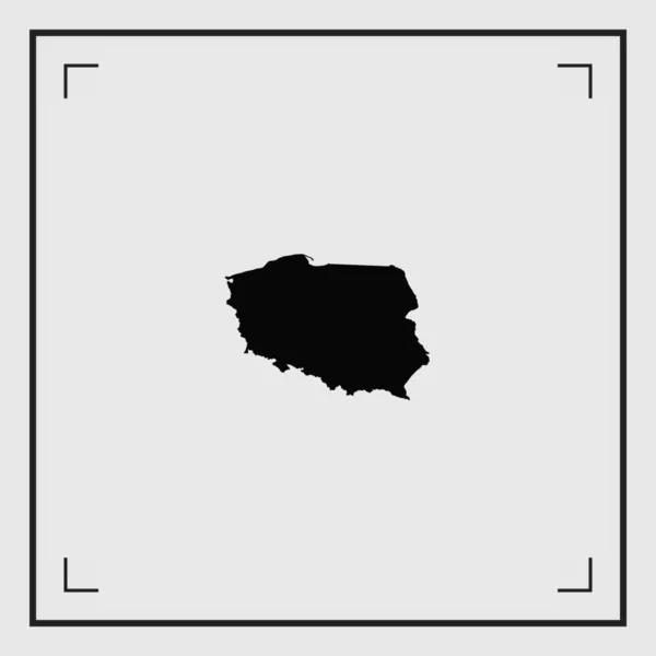
Illustrated Country Shape of Poland
Illustrated Country Shape of Poland — Stock Vector
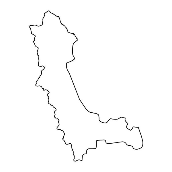
West Azerbaijan province map, administrative division of Iran. Vector illustration.
West Azerbaijan Province Map Administrative Division Iran Vector Illustration — Stock Vector
Walton County, Florida (U.S. county, United States of America, USA, U.S., US) map vector illustration, scribble sketch Walton map
Walton County Florida County United States America Usa Map Vector — Stock Vector
White sectors map of ORLANS, FRANCE
White Sectors Map Orlans France — Stock Vector
Cair Municipality (Republic of North Macedonia, Skopje Statistical Region, Greater Skopje) map vector illustration, scribble sketch Cair map
Cair Municipality (Republic of North Macedonia, Skopje Statistical Region, Greater Skopje) map vector illustration, scribble sketch Cair map — Stock Vector

Illinois Outline Vector: The Perfect Visual Tool for Your Next Project

If you're looking for a versatile and visually striking way to add some flair to your next project, look no further than an Illinois outline vector. This type of image is a great option for a variety of projects, from creating graphics for a website or social media campaign to designing marketing materials.

What is an Illinois Outline Vector?

An Illinois outline vector is a type of digital image that features the outline of the state of Illinois. This type of image is created using a mathematical formula to define the lines and curves of the state's borders, resulting in a crisp and clean image that can be scaled up or down to any size without losing its quality.

These images are typically available in a range of digital file formats, including JPG, AI, and EPS. While SVG files are not available for this type of image, these formats provide more than enough versatility to use the images in a wide range of settings.

Where Can You Use an Illinois Outline Vector?

An Illinois outline vector is a versatile image that can be used in a variety of settings. For example, you might use this type of image as a background for a website, or as part of a social media post. You could also use it as part of a marketing campaign, such as on posters, flyers, or other print materials. With its crisp lines and clean design, an Illinois outline vector can add interest and visual appeal to any project.

How to Choose the Right Illinois Outline Vector for Your Project

When choosing an Illinois outline vector for your project, there are a few things to keep in mind. First, consider the size and resolution of the image. If you need the image to be printed at a large size, you'll want to choose a higher resolution image to ensure that it looks crisp and clear. Additionally, consider the color scheme of your project and look for an image that complements your overall design. Finally, consider the purpose of your project and choose an appropriate image that reflects your brand voice and messaging.

Conclusion

An Illinois outline vector is a versatile and visually striking image that can be used in a wide range of settings. Whether you're designing a website, creating social media graphics, or developing marketing materials, this type of image can add interest and visual appeal to your project. When choosing an Illinois outline vector, consider the size and resolution, color scheme, and the overall purpose of your project to choose an image that complements your design and messaging.