Ireland map Stock Vector Images

100,000 Ireland map vector art & graphics are available under a royalty-free license

  • Best Match
  • Fresh
  • Popular
1-100 of 100,000
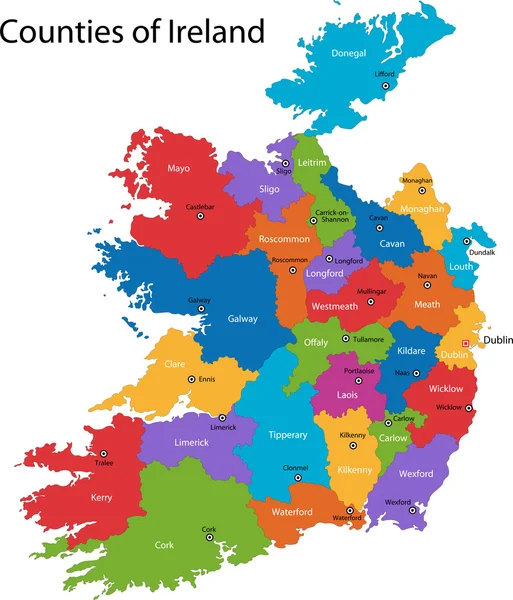
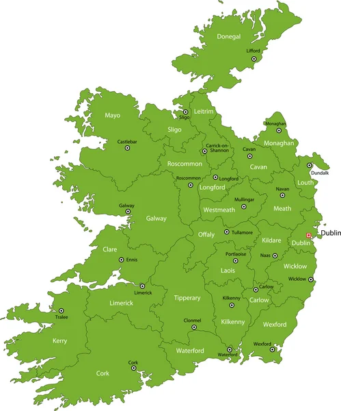
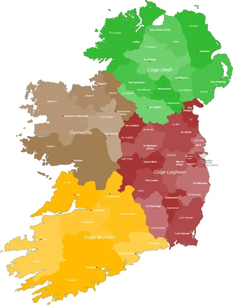
Ireland Political Map
Ireland Political Map — Stock Vector
Republic of Ireland
Republic of Ireland — Stock Vector
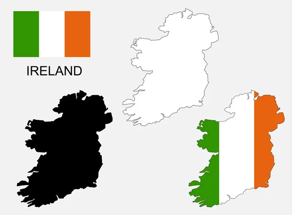
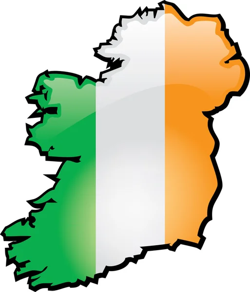
Ireland map and flag vector, Ireland map, Ireland flag
Ireland map and flag vector, Ireland map, Ireland flag — Stock Vector
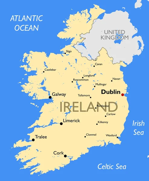
Ireland map
Ireland map — Stock Vector
Ireland
Ireland — Stock Vector
Ireland map with flag
Ireland map with flag — Stock Vector
Ireland map country
Ireland map country — Stock Vector
Republic of Ireland map
Republic of Ireland map — Stock Vector
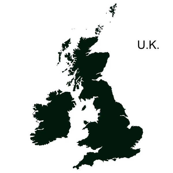
Vector Great Britain Pictogram
Vector Great Britain Pictogram — Stock Vector
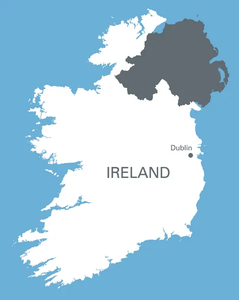
White map of Ireland on blue background
White map of Ireland on blue background — Stock Vector
Ireland map
Ireland map — Stock Vector
Map of Ireland
Map of Ireland — Stock Vector
Ireland
Ireland — Stock Vector
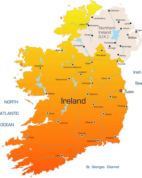
United Kingdom attractions travel map
United Kingdom attractions travel map — Stock Vector
Isolated ireland map design
Isolated ireland map design — Stock Vector
Map of Ireland
Map of Ireland — Stock Vector
Ireland
Ireland — Stock Vector
Ireland
Ireland — Stock Vector
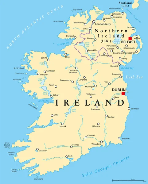
Ireland and Northern Ireland political map
Ireland and Northern Ireland political map — Stock Vector
Vintage Ireland Country Stamp
Vintage Ireland Country Stamp — Stock Vector
Wave line flag of Ireland
Wave line flag of Ireland — Stock Vector
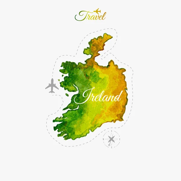
Travel around the world. Ireland. Watercolor map
Travel around the  world. Ireland. Watercolor map — Stock Vector
Ireland map country
Ireland map country — Stock Vector
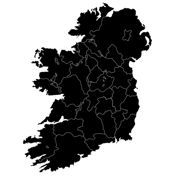
Vector illustration of black silhouette Ireland. Vector map.
Vector illustration of black silhouette Ireland. Vector map. — Stock Vector
Ireland map country
Ireland map country — Stock Vector
Round Ireland map
Round Ireland map — Stock Vector
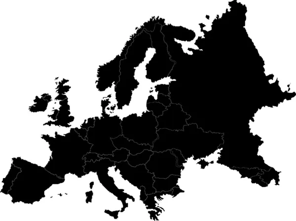
Europe vector map
Europe vector map — Stock Vector
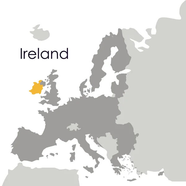
European union
European union — Stock Vector
Ireland round rubber stamp with country map Vintage red passport stamp with circular text and
Ireland round rubber stamp with country map Vintage red passport stamp with circular text and — Stock Vector
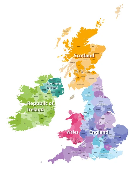
British Isles map colored by countries and regions
British Isles map colored by countries and regions — Stock Vector
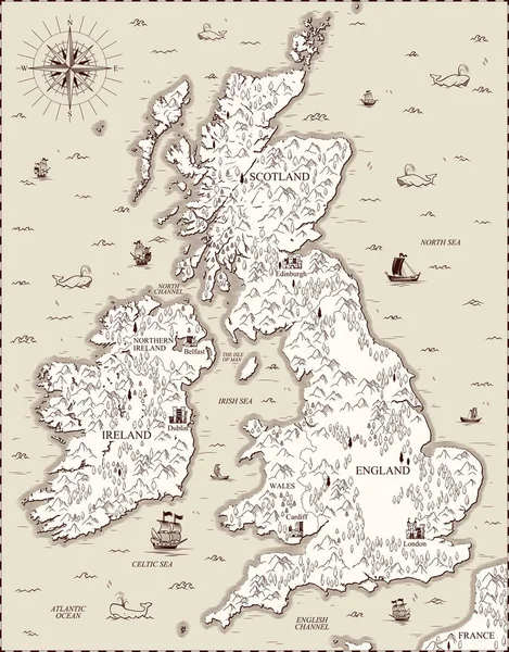
Vector old map, Great Britain
Vector old map, Great Britain — Stock Vector
United Kingdom travel map
United Kingdom travel map — Stock Vector
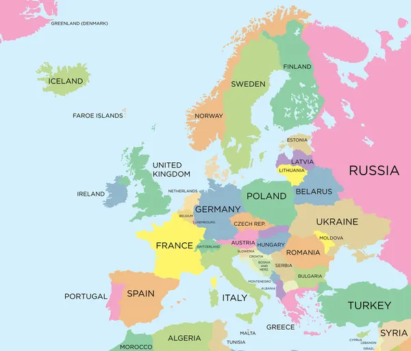
Coloured political map of Europe
Coloured political map of Europe — Stock Vector
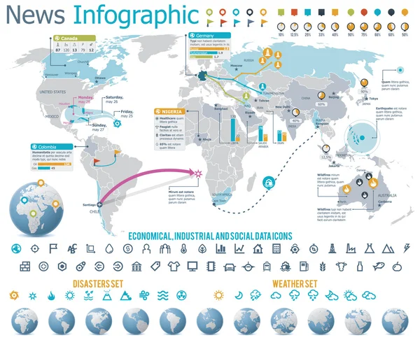
Elements for the news infographic with map
Elements for the news infographic with map — Stock Vector
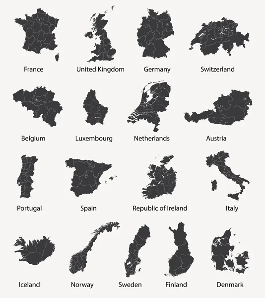
Vector set of european maps with region borders
Vector set of european maps with region borders — Stock Vector
Sughd Region (Republic of Tajikistan, Regions of Tajikistan) map vector illustration, scribble sketch Sughd ma
Sughd Region (Republic of Tajikistan, Regions of Tajikistan) map vector illustration, scribble sketch Sughd ma — Stock Vector
Averoy island (Kingdom of Norway) map vector illustration, scribble sketch Averoy map
Averoy Island Kingdom Norway Map Vector Illustration Scribble Sketch Averoy — Stock Vector
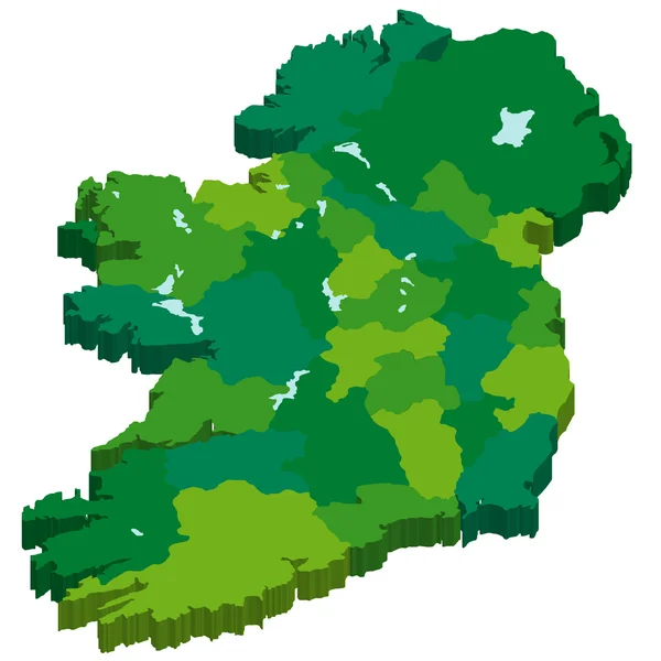
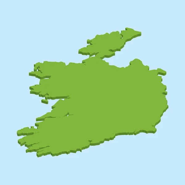
3D map on blue water background of Ireland
3D map on blue water background of  Ireland — Stock Vector
Sivas City (Republic of Turkey) map vector illustration, scribble sketch City of Sivas map
Sivas City Republic Turkey Map Vector Illustration Scribble Sketch City — Stock Vector
A set of abstract elements with jagged edges - white on a black background - vector.
Set Abstract Elements Jagged Edges White Black Background Vector — Stock Vector
Hexagon Northern Ireland Map
Hexagon Northern Ireland Map — Stock Vector
The Emerald Isle
The Emerald Isle — Stock Vector
Japan, prefectures map
Japan, prefectures map — Stock Vector
Gorumna island (Republic of Ireland) map vector illustration, scribble sketch Isle of Garmna map
Gorumna Island Republic Ireland Map Vector Illustration Scribble Sketch Isle — Stock Vector
Silhouette map of Hwaseong city in South Korea
Silhouette Map Hwaseong City South Korea — Stock Vector
Antigua and Barbuda; Map. Black silhouette country map isolated on white background. Black outline on white background. Vector based
Antigua Barbuda Map Black Silhouette Country Map Isolated White Background — Stock Vector
Storlandet island (Republic of Finland) map vector illustration, scribble sketch Storlandet map
Storlandet Island Republic Finland Map Vector Illustration Scribble Sketch Storlandet — Stock Vector
Iceland map icon vector illustration design
Iceland Map Icon Vector Illustration Design — Stock Vector
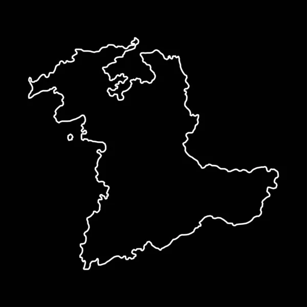
Bern map, Cantons of Switzerland. Vector illustration.
Bern Map Cantons Switzerland Vector Illustration — Stock Vector
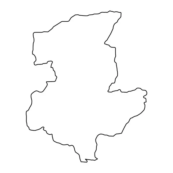
Sar e Pol province map, administrative division of Afghanistan.
Sar Pol Province Map Administrative Division Afghanistan — Stock Vector
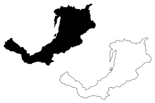
Buryatia (Russia, Subjects of the Russian Federation, Republics of Russia) map vector illustration, scribble sketch Republic of Buryatia map
Buryatia Russia Subjects Russian Federation Republics Russia Map Vector Illustration — Stock Vector
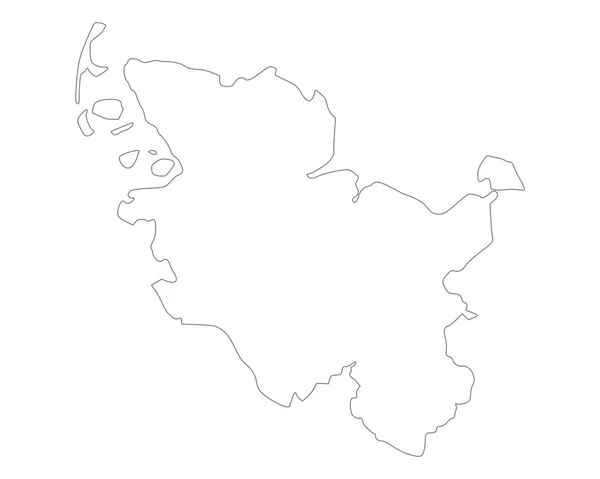
Map of Schleswig-Holstein
Map of Schleswig-Holstein — Stock Vector
Drvenik Veli island (Republic of Croatia, Adriatic Sea, Dalmatian Archipelago) map vector illustration, scribble sketch Drvenik Veli map
Drvenik Veli Island Republic Croatia Adriatic Sea Dalmatian Archipelago Map — Stock Vector
South Korea map dot on gray background. Dotted map of South Korea. Vector eps10.
South Korea Map Dot Gray Background Dotted Map South Korea — Stock Vector
The ireland map
The ireland map — Stock Vector
Accurate map of Ruegen
Accurate map of Ruegen — Stock Vector
Chukotka people republic map and flag vector illustration. Russian federation republic territory. Land part of Far Eastern Federal District Russia.
Chukotka People Republic Map Flag Vector Illustration Russian Federation Republic — Stock Vector
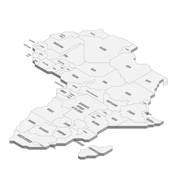
Isometric political map of Africa
Isometric political map of Africa — Stock Vector
County Mayo map, administrative counties of Ireland. Vector illustration.
County Mayo Map Administrative Counties Ireland Vector Illustration — Stock Vector
Lindau district (Federal Republic of Germany, rural district Swabia, Free State of Bavaria) map vector illustration, scribble sketch Lindau map
Lindau District Federal Republic Germany Rural District Swabia Free State — Stock Vector
Attu island (Republic of Finland) map vector illustration, scribble sketch Attu map
Attu Island Republic Finland Map Vector Illustration Scribble Sketch Attu — Stock Vector
Outline 3D map of both Northern Ireland and Eire Southern Ireland over a white background
Outline Map Both Northern Ireland Eire Southern Ireland White Background — Stock Vector
Accurate map of Ruegen
Accurate Map Ruegen — Stock Vector
Bern map, Switzerland, Europe. Filled and outline map designs. Vector illustration
Bern Map Switzerland Europe Filled Outline Map Designs Vector Illustration — Stock Vector
Nabatieh Governorate (Lebanese Republic, Governorates of Lebanon) map vector illustration, scribble sketch Nabatieh ma
Nabatieh Governorate (Lebanese Republic, Governorates of Lebanon) map vector illustration, scribble sketch Nabatieh ma — Stock Vector
Outline map of both Northern Ireland and Eire Southern Ireland over a white background
Outline Map Both Northern Ireland Eire Southern Ireland White Background — Stock Vector
Dunedin City (New Zealand, South Island) map vector illustration, scribble sketch City of Dunedin map
Dunedin City New Zealand South Island Map Vector Illustration Scribble — Stock Vector
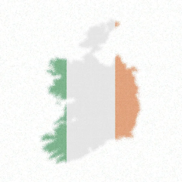
Map of Ireland Mosaic style map with flag of Ireland Lively vector illustration
Map of Ireland Mosaic style map with flag of Ireland Lively vector illustration — Stock Vector
Map of Lake Chiemsee
Map of Lake Chiemsee — Stock Vector
Attapeu Province (Lao People's Democratic Republic, Muang Lao, Provinces of Laos) map vector illustration, scribble sketch Attapeu map
Attapeu Province (Lao People's Democratic Republic, Muang Lao, Provinces of Laos) map vector illustration, scribble sketch Attapeu map — Stock Vector
Antwerp Province (Kingdom of Belgium, Provinces of Belgium) map vector illustration, scribble sketch Antwerp map
Antwerp Province (Kingdom of Belgium, Provinces of Belgium) map vector illustration, scribble sketch Antwerp map — Stock Vector
Minas Gerais (Region of Brazil, Federated state, Federative Republic of Brazil) map vector illustration, scribble sketch Minas Gerais map
Minas Gerais Region Brazil Federated State Federative Republic Brazil Map — Stock Vector
Weissenburg-Gunzenhausen district (Federal Republic of Germany, rural district Middle Franconia, Free State of Bavaria) map vector illustration, scribble sketch Weissenburg Gunzenhausen map
Weissenburg Gunzenhausen District Federal Republic Germany Rural District Middle Franconia — Stock Vector
Kyrklandet island (Republic of Finland) map vector illustration, scribble sketch Kyrklandet map
Kyrklandet Island Republic Finland Map Vector Illustration Scribble Sketch Kyrklandet — Stock Vector
Europe line continent. Europe linear map. Vector isolated on white.
Europe Line Continent Europe Linear Map Vector Isolated White — Stock Vector
Dimapur district (Nagaland State, Republic of India) map vector illustration, scribble sketch Dimapur map
Dimapur District Nagaland State Republic India Map Vector Illustration Scribble — Stock Vector
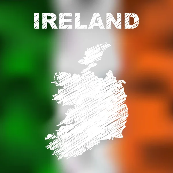
Irish Abstract Map
Irish Abstract Map — Stock Vector
Dark Blue, Yellow vector template with chaotic shapes. Simple colorful illustration with abstract gradient shapes. Best smart design for your business.
Dark Blue Yellow Vector Template Chaotic Shapes Simple Colorful Illustration — Stock Vector
Corum City (Republic of Turkey, Black Sea Region) map vector illustration, scribble sketch City of Corum map
Corum City Republic Turkey Black Sea Region Map Vector Illustration — Stock Vector
Map of Trinidad Island - Composition of Wine and Grapes
Map of Trinidad Island - Composition of Wine and Grapes — Stock Vector
Uttarkashi district (Uttarakhand or Uttaranchal State, Republic of India) map vector illustration, scribble sketch Uttarkashi map
Uttarkashi District Uttarakhand Uttaranchal State Republic India Map Vector Illustration — Stock Vector
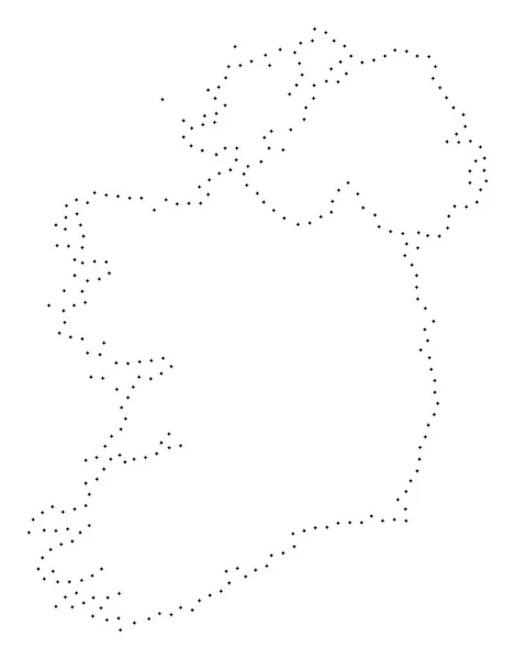
Dot Stroke Ireland Countries Map
Dot Stroke Ireland Countries Map — Stock Vector
Accurate map of Burgenland
Accurate map of Burgenland — Stock Vector
Nakanoshima or Ama to island (Japan, East Asia, Japanese archipelago, Oki Islands, Shimane Prefecture) map vector illustration, scribble sketch Nakano-shima or Ama-to map
Nakanoshima Ama Island Japan East Asia Japanese Archipelago Oki Islands — Stock Vector
Ireland Map Japanese paper icon
Ireland Map Japanese paper icon — Stock Vector
Mull island (United Kingdom of Great Britain and Northern Ireland, Scotland) map vector illustration, scribble sketch Isle of Mull map
Mull Island United Kingdom Great Britain Northern Ireland Scotland Map — Stock Vector
Rajasthan state map, administrative division of India. Vector illustration.
Rajasthan State Map Administrative Division India Vector Illustration — Stock Vector
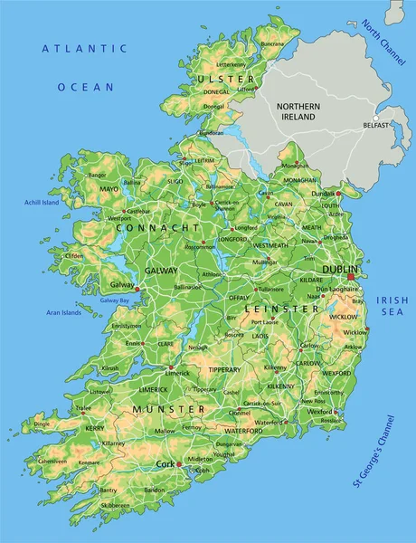
High detailed Ireland physical map with labeling.
High Detailed Ireland Physical Map Labeling — Stock Vector
Covasna County (Administrative divisions of Romania, Centru development region) map vector illustration, scribble sketch Covasna map
Covasna County (Administrative divisions of Romania, Centru development region) map vector illustration, scribble sketch Covasna map — Stock Vector
Afyonkarahisar (Provinces of the Republic of Turkey) map vector illustration, scribble sketch Afyonkarahisar ili (Afyon Province) map
Afyonkarahisar Provinces Republic Turkey Map Vector Illustration Scribble Sketch Afyonkarahisar — Stock Vector
Utrecht province of the Netherlands. Vector illustration.
Utrecht Province Netherlands Vector Illustration — Stock Vector
Vector map Iceland. Isolated vector Illustration. Black on White background. EPS 10 Illustration.
Vector Map Iceland Isolated Vector Illustration Black White Background Eps — Stock Vector
Flemish Brabant Province (Kingdom of Belgium, Provinces of Belgium, Flemish Region) map vector illustration, scribble sketch Flemish Brabant map
Flemish Brabant Province (Kingdom of Belgium, Provinces of Belgium, Flemish Region) map vector illustration, scribble sketch Flemish Brabant map — Stock Vector
Beekdaelen municipality (Kingdom of the Netherlands, Holland, Limburg province) map vector illustration, scribble sketch Baekdale map
Beekdaelen Municipality Kingdom Netherlands Holland Limburg Province Map Vector Illustration — Stock Vector
Sliven Province (Republic of Bulgaria, Provinces of Bulgaria) map vector illustration, scribble sketch Sliven map
Sliven Province (Republic of Bulgaria, Provinces of Bulgaria) map vector illustration, scribble sketch Sliven map — Stock Vector
Dot Stroke Ireland Island Map
Dot Stroke Ireland Island Map — Stock Vector
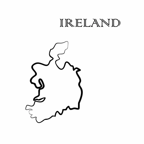
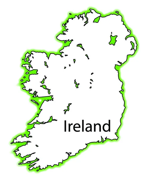
Ireland map and country name isolated on white background. Vector illustration
Ireland map and country name isolated on white background. Vector illustration — Stock Vector
Topographic military radar tactical map of Hanover, Germany with emerald green contour lines on dark green background
Topographic Military Radar Tactical Map Hanover Germany Emerald Green Contour — Stock Vector
Ireland - solid black outline border map of country area. Simple flat vector illustration
Ireland - solid black outline border map of country area. Simple flat vector illustration — Stock Vector
Oshima island (Japan, East Asia, Japanese archipelago, Nagasaki) map vector illustration, scribble sketch Oshima map
Oshima Island Japan East Asia Japanese Archipelago Nagasaki Map Vector — Stock Vector

Ireland Map Vector: The Perfect Image for Your Next Project

Introduction

As a non-fiction writer or a salesman, you understand the value of visual content in grabbing and retaining your audience's attention. Whether you're writing an article, creating a presentation, or designing a website, choosing the right images is crucial. And that's where the Ireland Map Vector comes in.

Vector images are graphics created using mathematical algorithms, allowing them to maintain their quality and resolution at any size. The Ireland Map Vector is a high-quality image file that can be used in a variety of projects. It's perfect for those seeking a professional and polished look.

Available Formats

The Ireland Map Vector is available in three file types: JPG, AI, and EPS. The JPG format is ideal for use on websites and presentations, whereas the AI and EPS formats are best suited for printing purposes.

As a non-fiction writer or salesman, you need images that are easy to use and manipulate in your projects. The Ireland Map Vector can be resized, recolored, and edited to suit your needs. Whether you need a small map for an article or a large one for a poster, the Ireland Map Vector can do it all.

Suitable Applications

The Ireland Map Vector is perfect for a wide range of projects, from tourism brochures to educational materials. If you're working on a project related to Ireland, the Ireland Map Vector is the perfect visual to add context and depth.

Some suitable applications for the Ireland Map Vector include:

- Tourism brochures - Educational materials - Presentations - Websites - Newsletters - Posters

Whether your project is online or printed, the Ireland Map Vector is versatile enough to suit your needs.

Practical Tips

Using visuals in your projects is a great idea, but it's important to use them correctly. Here are some practical tips to keep in mind while using the Ireland Map Vector:

- Choose the right format for your project: If you're designing a printed brochure, use EPS or AI files. For online projects, use JPG files. - Customize your image: You can edit the colors and shading of the Ireland Map Vector to match your project's theme or to highlight specific areas. - Keep it simple: Don't overload your project with too many visuals. Remember, images should be used to enhance the message, not distract from it. - Use high-quality images: The Ireland Map Vector is a high-quality image file, and using low-quality visuals can negatively impact your project's credibility.

Conclusion

The Ireland Map Vector is a valuable image file for non-fiction writers and salesmen. It's versatile, high-quality, and customizable, making it a great fit for a wide range of projects. Remember to choose the right format, customize your image, keep it simple, and use high-quality visuals, and you're sure to create a professional and polished project.