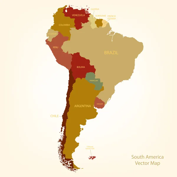
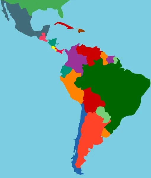
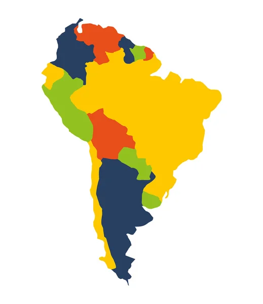
Latin america map Stock Vector Images

100,000 Latin america map vector art & graphics are available under a royalty-free license

  • Best Match
  • Fresh
  • Popular
1-100 of 100,000
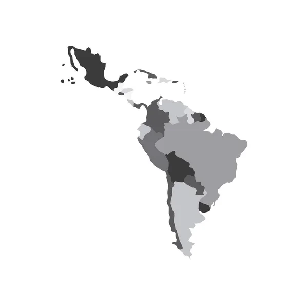
Latin America map
Latin America map — Stock Vector
Latin America map
Latin America map — Stock Vector
Latin America countries political map
Latin America countries political map — Stock Vector
Latin america map
Latin america map — Stock Vector
Latin america map
Latin america map — Stock Vector
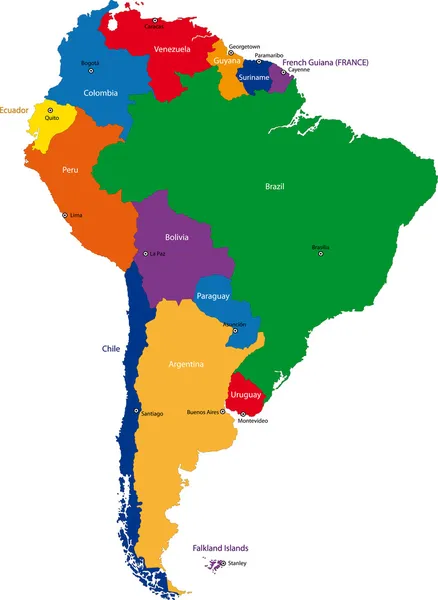
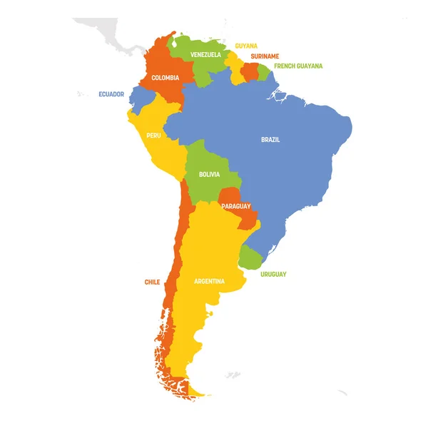
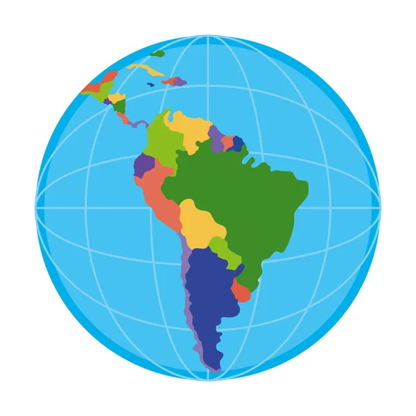
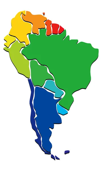
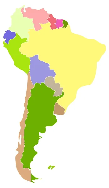
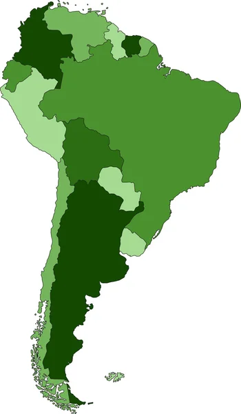
Colorful South America map
Colorful South America map — Stock Vector
Latin america map
Latin america map — Stock Vector
Latin america map
Latin america map — Stock Vector
South America love - concept illustration with vector icons
South America love - concept illustration with vector icons — Stock Vector
Latin america map
Latin america map — Stock Vector
Latin america map
Latin america map — Stock Vector
Latin america map
Latin america map — Stock Vector
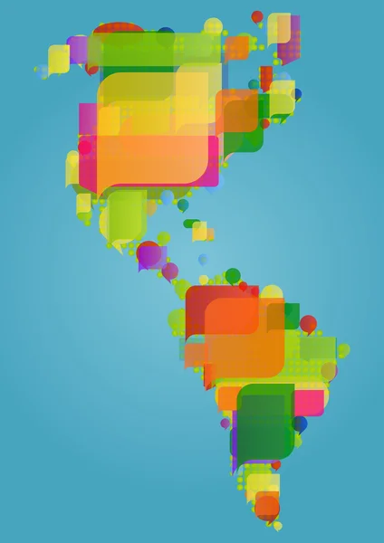
North, south and central America continent world map made of col
North, south and central America continent world map made of col — Stock Vector
South America map blue ocean and green continent. Vector
South America map blue ocean and green continent. Vector — Stock Vector
Blue polygonal South America map
Blue polygonal South America map — Stock Vector
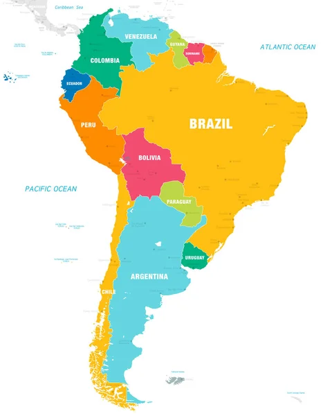
Vector map of South America Continent with Countries, Capitals, Main Cities and Seas and islands names in brilliant colors.
Vector Map South America Continent Countries Capitals Main Cities Seas — Stock Vector
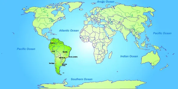
South America Global World
South America Global World — Stock Vector
South America map.
South America map. — Stock Vector
North and South America map background vector performed in vintage style.
North and South America map background vector performed in vintage style. — Stock Vector
Colorful America
Colorful America — Stock Vector
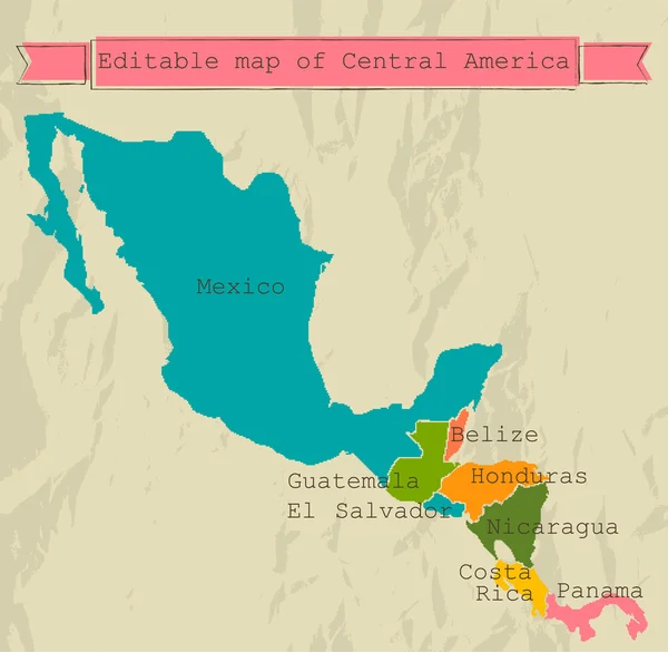
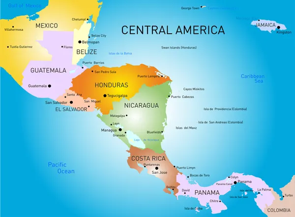
Editable Central America map with all countries.
Editable Central America map with all countries. — Stock Vector
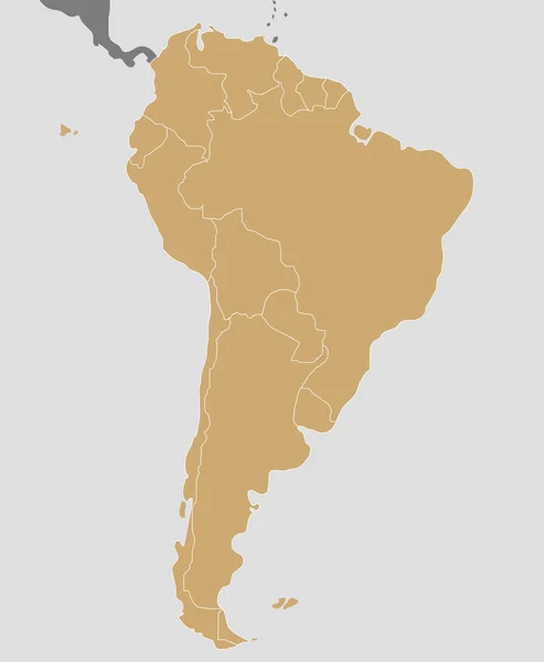
South America Beige
South America Beige — Stock Vector
America map and breakthrough paper hole
America map and breakthrough paper hole — Stock Vector
South America contoured map with highlighted Colombia.
South America contoured map with highlighted Colombia. — Stock Vector
South America with highlighted Dominican Republic map.
South America with highlighted Dominican Republic map. — Stock Vector
Latin America map illustration
Latin America map illustration — Stock Vector
Political map of Latin America. Latin american states blue highlighted in the map of South America, Central America and Caribbean. Vector illustration
Political map of Latin America. Latin american states blue highlighted in the map of South America, Central America and Caribbean. Vector illustration — Stock Vector
Latin america
Latin america — Stock Vector
South american map isolated icon
South american map isolated icon — Stock Vector
Polygonal map of Latin America
Polygonal map of Latin America — Stock Vector
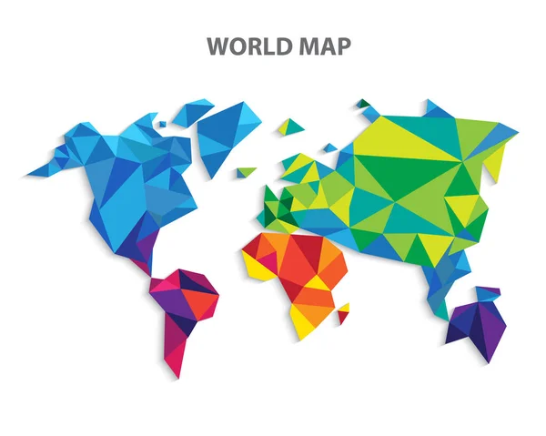
World map infographic layout design template. Vector illustration
World Map Infographic Layout Design Template Vector Illustration — Stock Vector
World map infographic layout design template. Vector illustration
World Map Infographic Layout Design Template Vector Illustration — Stock Vector
Map of America
Map of America — Stock Vector
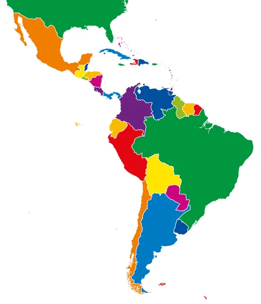
Latin America single states map full color
Latin America single states map full color — Stock Vector
Map of America
Map of America — Stock Vector
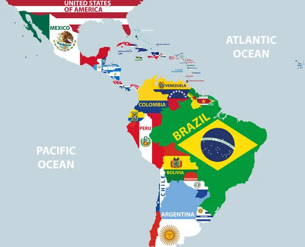
Vector part of world map with region of Latin American countries mixed with their national flags
Vector Part World Map Region Latin American Countries Mixed National — Stock Vector
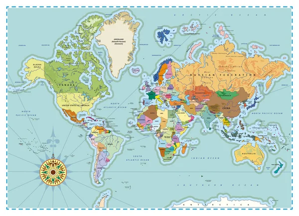
Detailed Political World Map
Detailed Political World Map — Stock Vector
Political Colored World Map Vector
Political Colored World Map Vector — Stock Vector
Latin america design
Latin america design — Stock Vector
Abstract continents of North and South America from triangles. Origami style.
Abstract continents of North and South America from triangles. Origami style. — Stock Vector
American continents icon set, monochrome
American continents icon set, monochrome — Stock Vector
Latin america map
Latin america map — Stock Vector
Central america map
Central america map — Stock Vector
South America Region. Map of countries in southern America. Vector illustration
South America Region. Map of countries in southern America. Vector illustration — Stock Vector
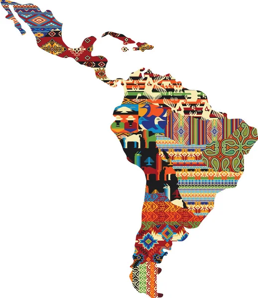
Central and south America patchwork map, native fabric pattern abstract vector wallpaper
Central South America Patchwork Map Native Fabric Pattern Abstract Vector — Stock Vector
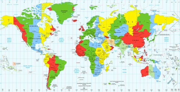
Detailed World map standard time zones
Detailed World map standard time zones — Stock Vector
Outline maps of the countries in North and South America continent
Outline maps of the countries in North and South America continent — Stock Vector
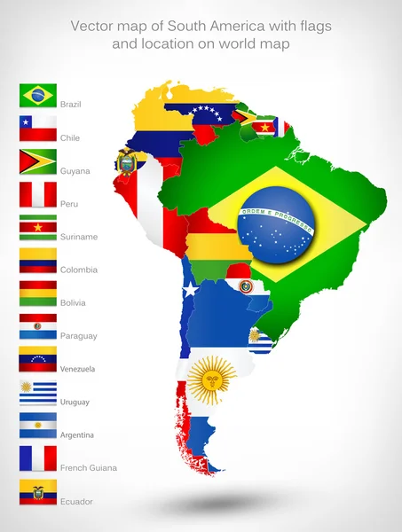
Map of South America with flags
Map of South America with flags — Stock Vector
Latin america map
Latin america map — Stock Vector
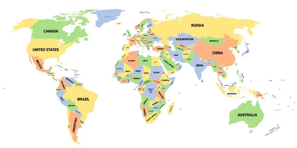
Political map of World
Political map of World — Stock Vector
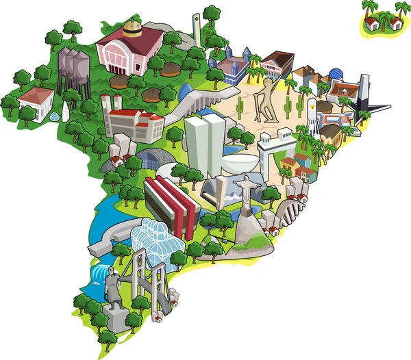
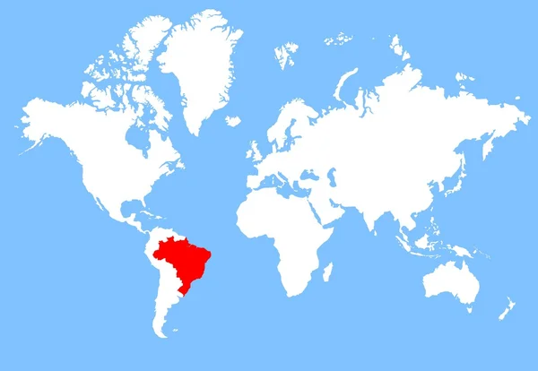
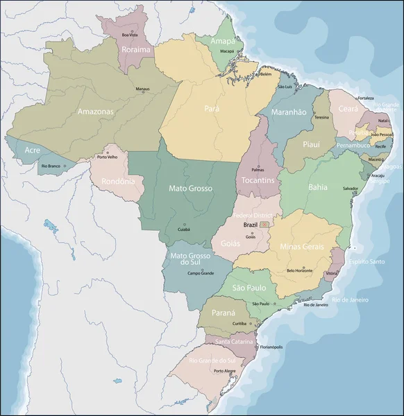
Map of Brazil
Map of Brazil — Stock Vector
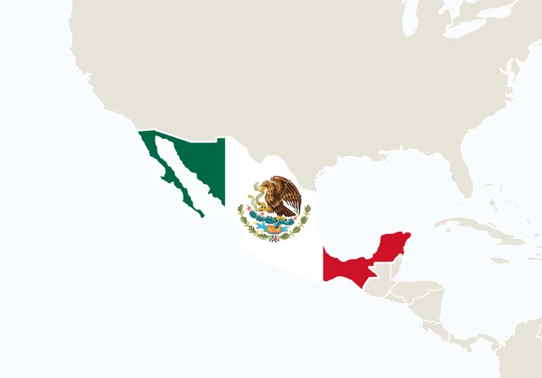
Central America with highlighted Mexico map.
Central America with highlighted Mexico map. — Stock Vector
GRAY CMYK color map of SOUTH AMERICA
Gray Cmyk Color Map South America — Stock Vector
Territory of South America continent. White background
Territory South America Continent White Background — Stock Vector
America map countries planet isolated icon
America Map Countries Planet Isolated Icon — Stock Vector
Map of South America
Map South America — Stock Vector
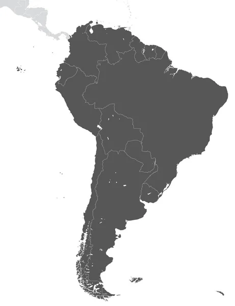
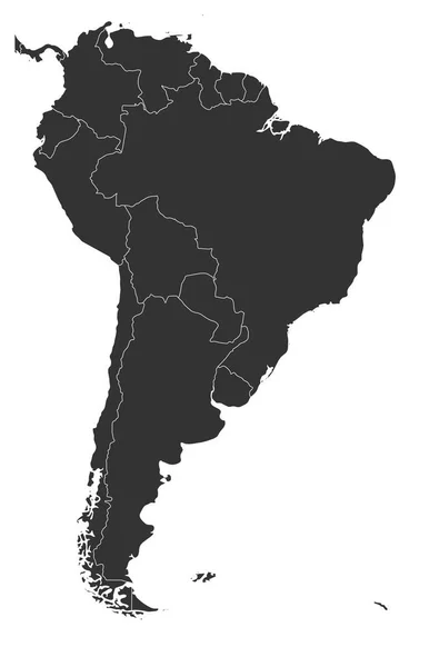
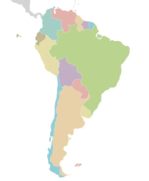
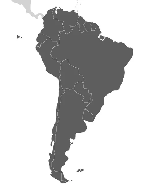
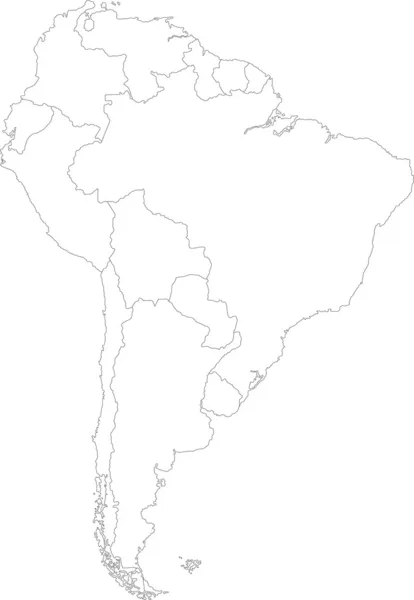
Blank political map of South America. Simple flat vector map in grey
Blank political map of South America. Simple flat vector map in grey — Stock Vector
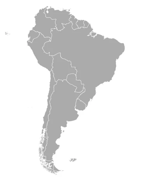
Gray Flat Vector Map of South America With Country Borders on White Background
Gray Flat Vector Map South America Country Borders White Background — Stock Vector
South America map
South America map — Stock Vector
Political blank South America Map vector illustration. Editable and clearly labeled layers.
Political Blank South America Map Vector Illustration Editable Clearly Labeled — Stock Vector
The card can be used immediately and is optimized for printing and use in digital media. The color mode is RGB.
Card Can Used Immediately Optimized Printing Use Digital Media Color — Stock Vector
Map of Trinidad and Tobago in South America
Map Trinidad Tobago South America — Stock Vector
Political blank South America Map vector illustration isolated on white background. Editable and clearly labeled layers.
Political Blank South America Map Vector Illustration Isolated White Background — Stock Vector
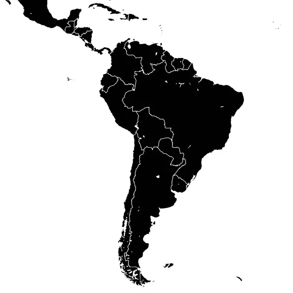
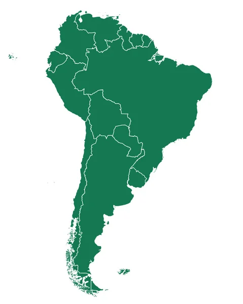
South America silhouette vector map
South America silhouette vector map — Stock Vector
Brazil
Brazil — Stock Vector
South America Map With Capitals
South America Map With Capitals — Stock Vector
Map of south america
Map South America — Stock Vector
South America Blind Map.
South America Blind Map. — Stock Vector
Political blank South America Map vector illustration isolated on white background. Editable and clearly labeled layers.
Political Blank South America Map Vector Illustration Isolated White Background — Stock Vector
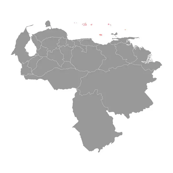
Dependencias Federales map, administrative division of Venezuela.
Dependencias Federales Map Administrative Division Venezuela — Stock Vector
Black map of ecuador on white background
Black Map Ecuador White Background — Stock Vector
Map of Brazil
Map of Brazil — Stock Vector
Map of Trinidad and Tobago in South America
Map Trinidad Tobago South America — Stock Vector
Map of South America
Map South America — Stock Vector
South America map vector. country
South America Map Vector Country — Stock Vector
Venezuela map color line element. Border of the country.
Venezuela Map Color Line Element Border Country — Stock Vector
Territory of South America continent. White background
Territory South America Continent White Background — Stock Vector
South America
South America — Stock Vector
South America
South America — Stock Vector
Gray Flat Vector Map of South America on White Background
Gray Flat Vector Map South America White Background — Stock Vector
South America thin black outline map. Contour map of continent. Simple flat vector illustration
South America thin black outline map. Contour map of continent. Simple flat vector illustration — Stock Vector
Map of South America
Map South America — Stock Vector
White map of South America
White map of South America — Stock Vector
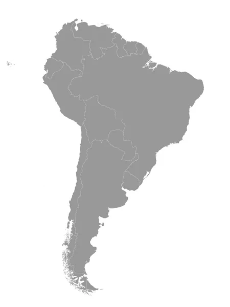
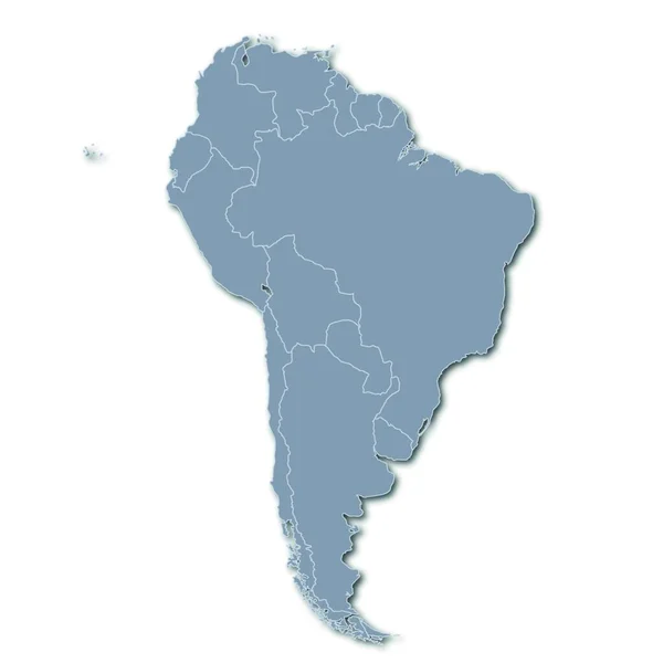
Grey map of South America with countries borders
Grey map of South America with countries borders — Stock Vector
South America divided in countries. Isolated map on white background.
South America Divided Countries Isolated Map White Background — Stock Vector
Outline on clean background of the continent of South America
Outline on clean background of the continent of South America — Stock Vector
Map of South America
Map of South America — Stock Vector
Black Location Map of the Venezuelan Federal Dependencies within Grey Map of Venezuela
Black Location Map Venezuelan Federal Dependencies Grey Map Venezuela — Stock Vector
Map of Colombia in South America on white background
Map Colombia South America White Background — Stock Vector
North and South America
North and South America — Stock Vector
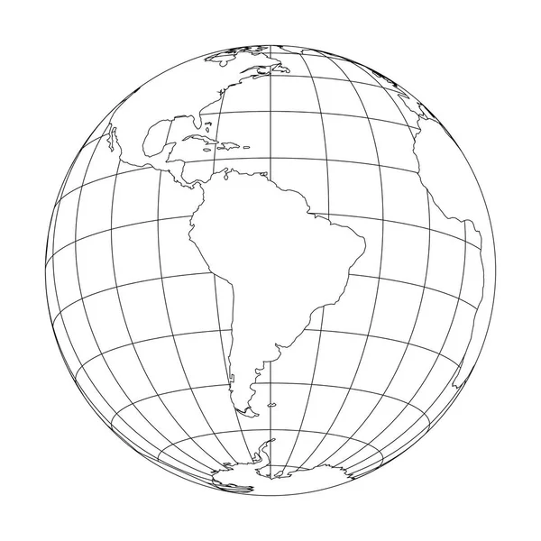
Outline Earth globe with map of World focused on South America. Vector illustration
Outline Earth globe with map of World focused on South America. Vector illustration — Stock Vector
Accurate map of Venezuela
Accurate map of Venezuela — Stock Vector
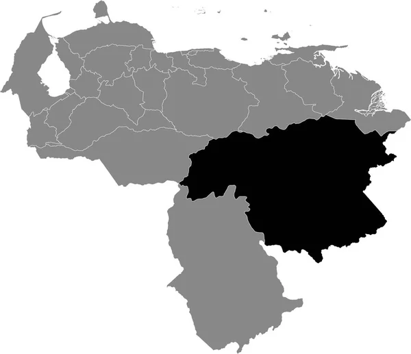
Black Location Map of the Venezuelan State of Bolvar within Grey Map of Venezuela
Black Location Map Venezuelan State Bolvar Grey Map Venezuela — Stock Vector
Map of South America color line element. Border of the country.
Map of South America color line element. Border of the country. — Stock Vector
South America political map
South America political map — Stock Vector
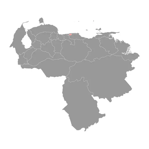
Distrito Capital map, administrative division of Venezuela.
Distrito Capital Map Administrative Division Venezuela — Stock Vector

Latin America Map Vector: The Perfect Choice for Your Design Project

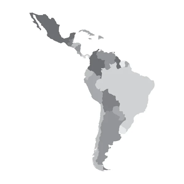
If you're looking for a high-quality map of Latin America to complement your design project, our collection of Latin America map vectors is the answer to your needs. Whether you're creating an infographic, a poster, or a brochure, our vector images can enhance the visual appeal of your design and deliver an excellent user experience.

A Variety of Map Views in Vector Formats

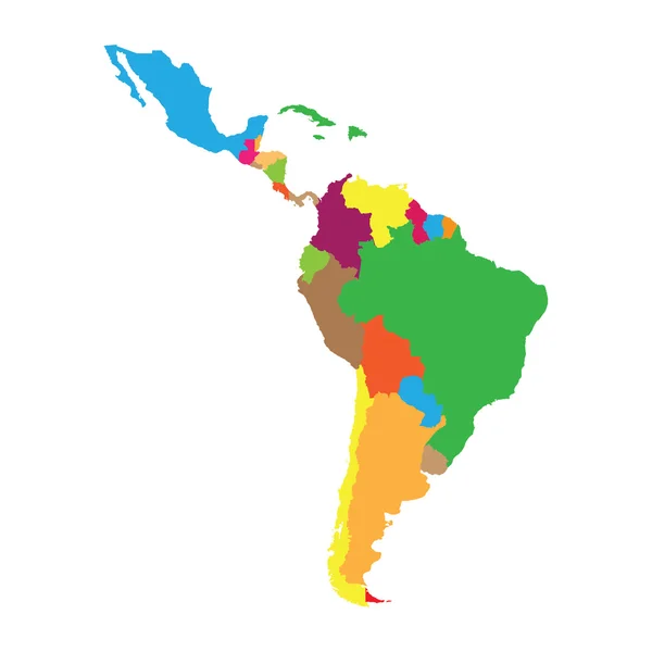
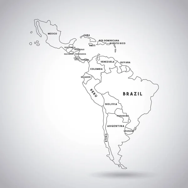
Our collection comprises a wide range of Latin America map vectors, each with a unique style and presentation. From simple, black and white contour maps to colorful, detailed political maps, we have something for every creative project. Our vector images are compatible with various design software, including Adobe Illustrator and Photoshop, and come in different file formats, such as JPG, AI, and EPS, ensuring you can use them in various ways.

Versatility for Different Design Projects

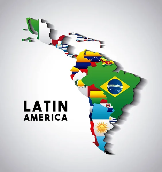
Our Latin America map vectors can be an excellent addition to different design projects, including educational, promotional, and informative. For instance, if you're working on a research or presentation project, our contour maps can serve as a useful reference point. Similarly, if you're designing a travel brochure or a study abroad program, our colorful maps can add visual interest and help stimulate the audience's imagination.

Best Practices for Image Selection and Use

Choosing the right image for your project is crucial in creating an outstanding visual experience. When selecting from our Latin America map vectors, consider the purpose of your design, the audience's preferences, and the context in which the image will be used. For example, if you're designing an infographic whose primary goal is to convey information effectively, opt for a minimalist contour map that highlights critical geographic features. Conversely, if your design's primary purpose is to evoke the audience's emotions and curiosity, choose a colorful, detailed map that showcases the cultural richness of Latin America.

In conclusion, our Latin America map vectors are an excellent choice for enhancing the visual appeal and user experience of your design projects. No matter the purpose or context, our collection of high-quality vector images has something for everyone. By following some best practices for image selection and use, you can create an outstanding design that evokes emotions, conveys information, and resonates with your audience.