Mediterranean map Stock Vector Images

100,000 Mediterranean map vector art & graphics are available under a royalty-free license

  • Best Match
  • Fresh
  • Popular
1-100 of 100,000
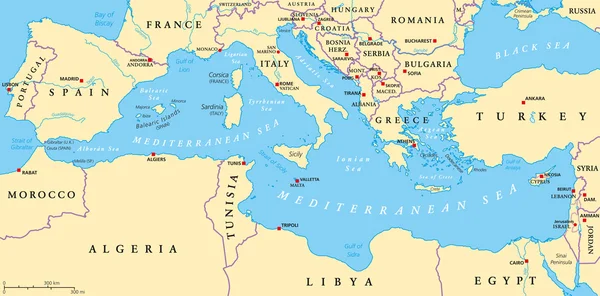
Mediterranean Basin Political Map
Mediterranean Basin Political Map — Stock Vector
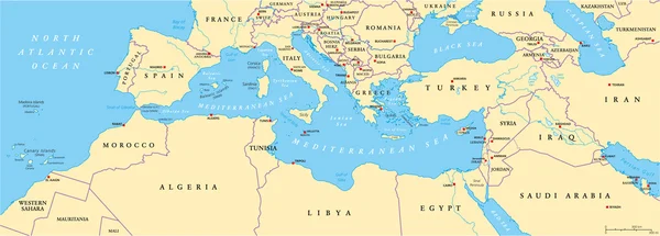
Mediterranean Sea Region Political Map
Mediterranean Sea Region Political Map — Stock Vector
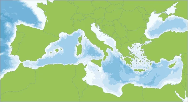
Mediterranean sea
Mediterranean sea — Stock Vector
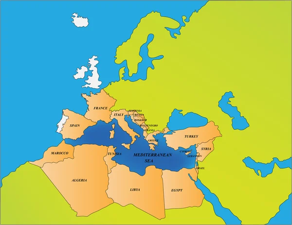
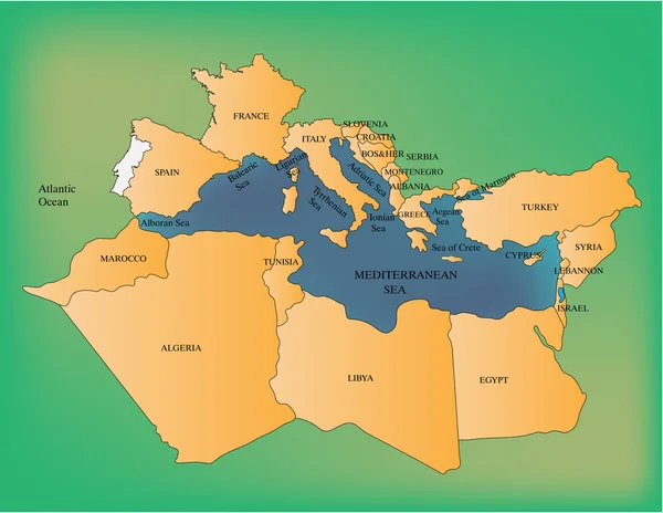
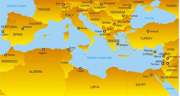
Mediterranean sea countries
Mediterranean sea countries — Stock Vector
Mediterranean sea
Mediterranean sea — Stock Vector
Basic - Italian icons
Basic - Italian icons — Stock Vector
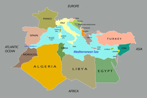
Countries surrounding the Mediterranean Sea
Countries surrounding the Mediterranean Sea — Stock Vector
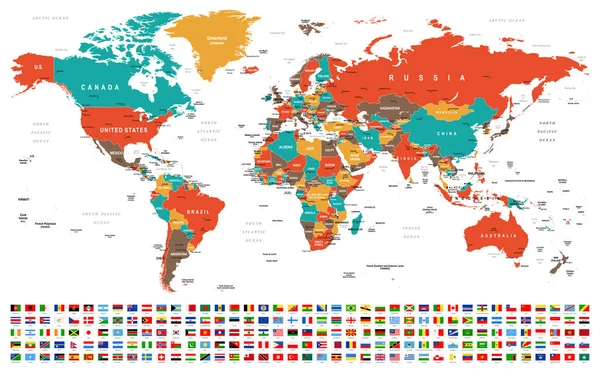
World Map and Flags - borders, countries and cities -vector illustration
World Map Flags Borders Countries Cities Vector Illustration — Stock Vector
Mediterranean Sea map
Mediterranean Sea map — Stock Vector
Detailed, high resolution, accurate vector map of the world
Detailed, high resolution, accurate vector map of the world — Stock Vector
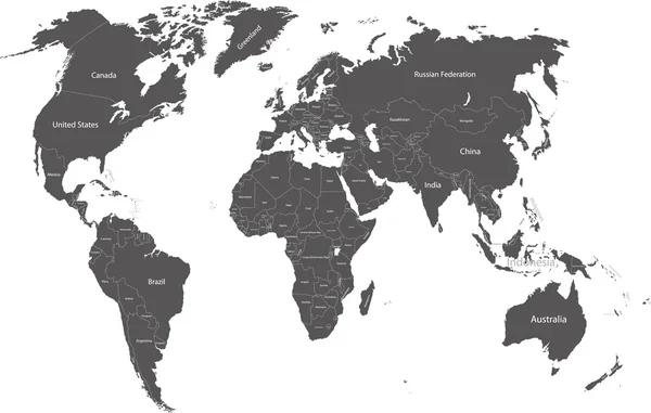
World political map
World political map — Stock Vector
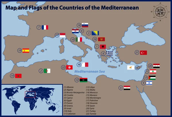
Map and Flags of the Countries of the Mediterranean
Map and Flags of the Countries of the Mediterranean — Stock Vector
Mediterranean region
Mediterranean region — Stock Vector
Europe map white blue card paper 3D vector
Europe map white blue card paper 3D vector — Stock Vector
Vector cartoon Greece map icon in comic style. Greece sign illustration pictogram. Cartography map business splash effect concept.
Vector Cartoon Greece Map Icon Comic Style Greece Sign Illustration — Stock Vector
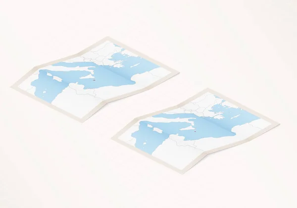
Two versions of a folded map of Malta with the flag of the country of Malta and with the red color highlighted.
Two Versions Folded Map Malta Flag Country Malta Red Color — Stock Vector
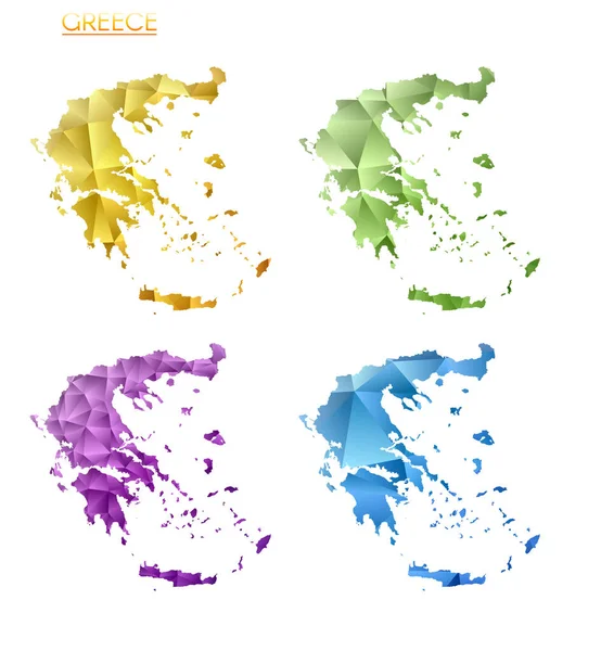
Set of vector polygonal maps of Greece. Bright gradient map of country in low poly style. Multicolored Greece map in geometric style for your infographics. Astonishing vector illustration.
Set Vector Polygonal Maps Greece Bright Gradient Map Country Low — Stock Vector
Italy Greece Mediterranean and Europe Africa map
Italy Greece Mediterranean and Europe Africa map — Stock Vector
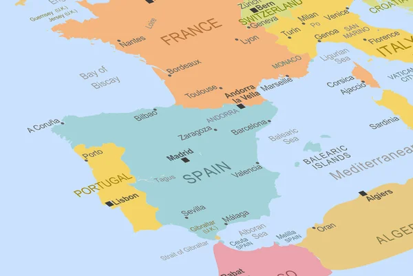
Spain in the middle of europe map, close up Spain, travel idea, pinned destination, top view, vacation and road trip concept, colorful map with location icon
Spain Middle Europe Map Close Spain Travel Idea Pinned Destination — Stock Vector
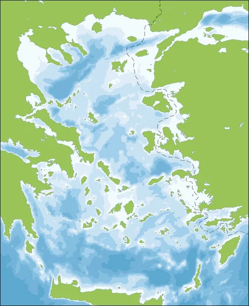
Aegean Sea map
Aegean Sea map — Stock Vector
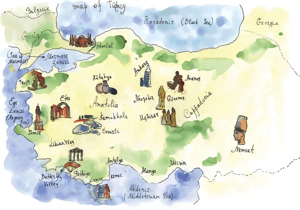
Turkey attractions
Turkey attractions — Stock Vector
Seychelles map. Cities regions Vector illustration
Seychelles Map Cities Regions Vector Illustration — Stock Vector
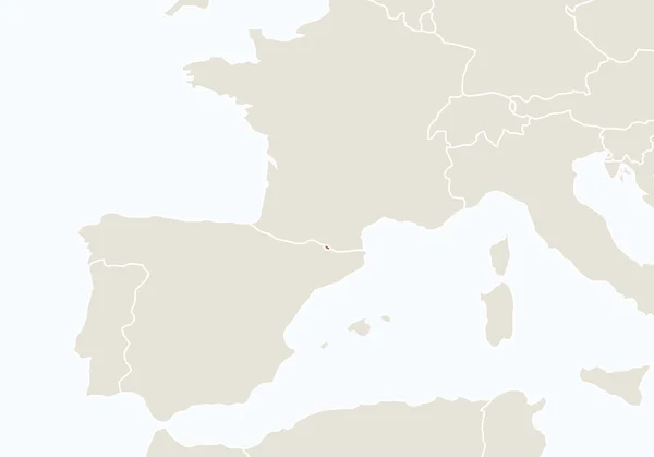
Europe with highlighted Andorra map.
Europe with highlighted Andorra map. — Stock Vector
France in the middle of europe map, close up France, travel idea, pinned destination, top view, vacation and road trip concept, colorful map with location icon
France Middle Europe Map Close France Travel Idea Pinned Destination — Stock Vector
Political map of Balkans - States of Balkan Peninsula. Simple flat black outline with black country name labels
Political map of Balkans - States of Balkan Peninsula. Simple flat black outline with black country name labels — Stock Vector
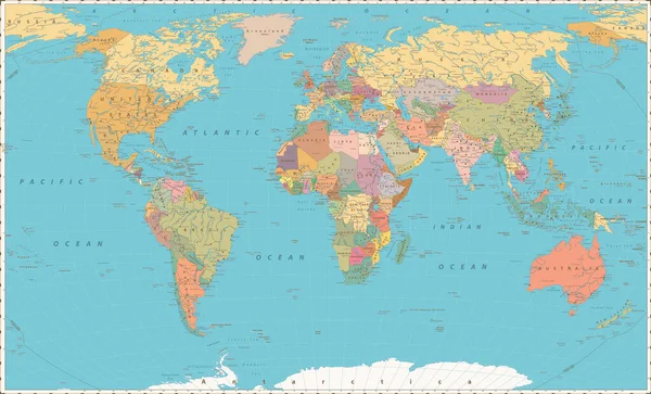
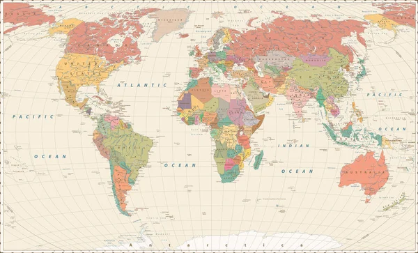
World Map. Vintage color style. Large Detailed World Map vector illustration.
World Map Vintage Color Style Large Detailed World Map Vector — Stock Vector
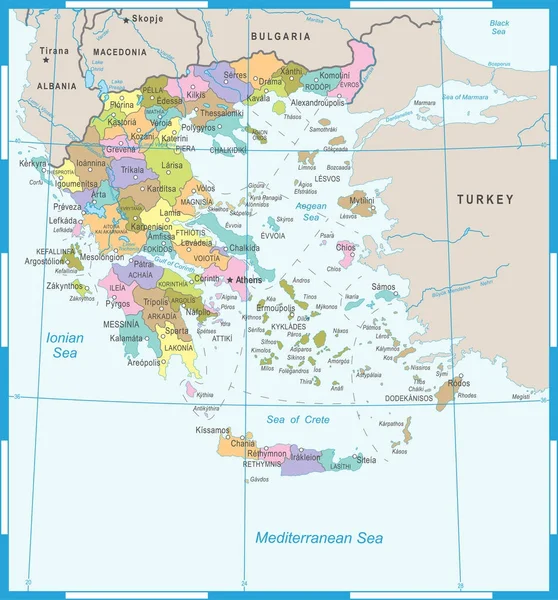
Greece Map - Detailed Vector Illustration
Greece Map - Detailed Vector Illustration — Stock Vector
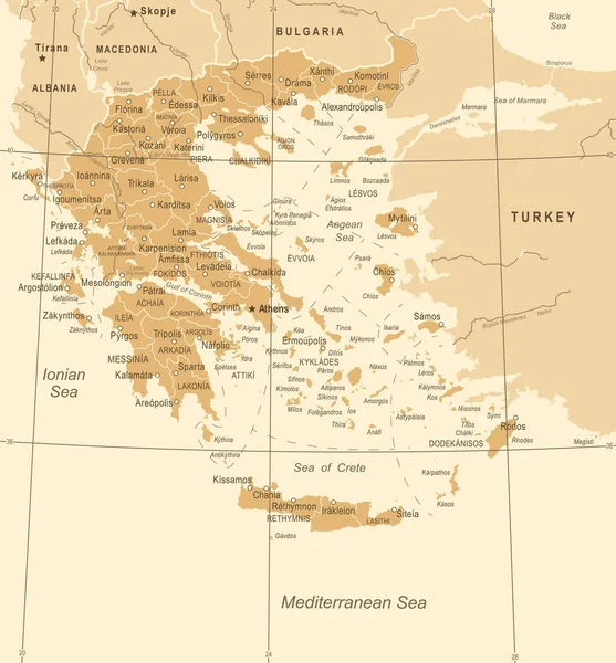
Greece Map - Vintage Vector Illustration
Greece Map - Vintage Vector Illustration — Stock Vector
Sea chart clipart, isolated vector illustration.
Sea Chart Clipart Isolated Vector Illustration — Stock Vector
Map of European Countries
Map of European Countries — Stock Vector
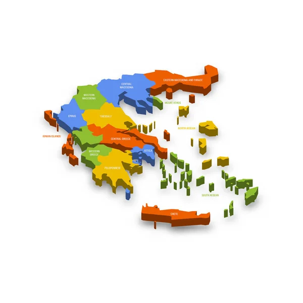
Greece political map of administrative divisions - decentralized administrations and autonomous monastic state of Mount Athos. Colorful 3D vector map with country province names and dropped shadow.
Greece Political Map Administrative Divisions Decentralized Administrations Autonomous Monastic State — Stock Vector
Big colour map
Big colour map — Stock Vector
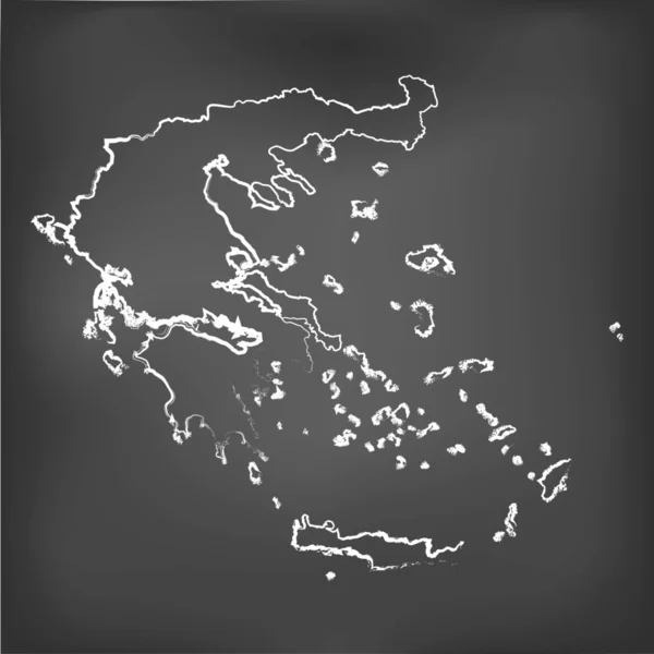
Chalked map on a chalk board of Greece
Chalked map on a chalk board of  Greece — Stock Vector
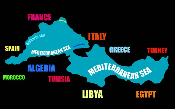
Mediterranean Sea. Map boundaries of Mediterranean Sea with other countries. Vector illustration
Mediterranean Sea Map Boundaries Mediterranean Sea Other Countries Vector Illustration — Stock Vector
Europe Map and European countries flags with names
Europe Map European Countries Flags Names — Stock Vector
Maps
Maps — Stock Vector
Flat planet Earth icon. Vector illustration for web banner, web and mobile, infographics.
Flat Planet Earth Icon Vector Illustration Web Banner Web Mobile — Stock Vector
Europe continent map contours
Europe continent map contours — Stock Vector
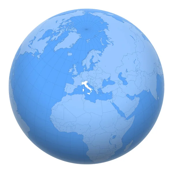
Italy on the globe. Earth centered at the location of the Italian Republic. Map of Italy. Includes layer with capital cities.
Italy Globe Earth Centered Location Italian Republic Map Italy Includes — Stock Vector
Europe Map Outline Design
Europe Map Outline Design — Stock Vector
Light Blue, Green vector background with abstract shapes. Illustration with colorful gradient shapes in abstract style. Best smart design for your business.
Light Blue Green Vector Background Abstract Shapes Illustration Colorful Gradient — Stock Vector
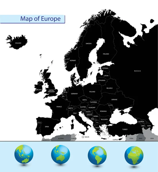
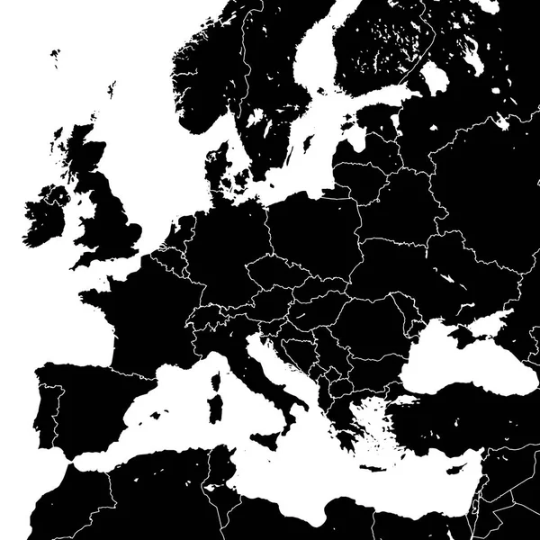
Detailed map of Europe
Detailed Map Europe — Stock Vector
Italy map designed in isometric style, orange circle map.
Italy map designed in isometric style, orange circle map. — Stock Vector
Vector Hong Kong Vintage Map
Vector Hong Kong Vintage Map — Stock Vector
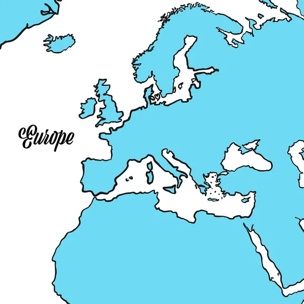
Europe map. Vector illustration.
Europe map. Vector illustration. — Stock Vector
Map of europe
Map of europe — Stock Vector
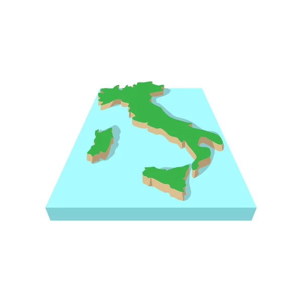
Map of italy, cartoon style
Map of italy, cartoon style — Stock Vector
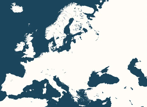
High detailed silhouette of Europe map
High detailed silhouette of Europe map — Stock Vector
Map of Europe made of gray dots. Dotted silhouette, outline and surface of Europe and the surrounded regions. Dots in a row. Isolated illustration on white background. Vector.
Map Europe Made Gray Dots Dotted Silhouette Outline Surface Europe — Stock Vector
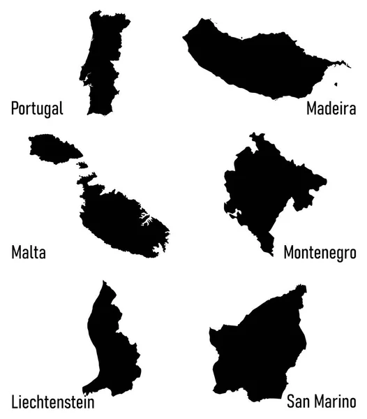
Silhouettes of Europe countries
Silhouettes of Europe countries — Stock Vector
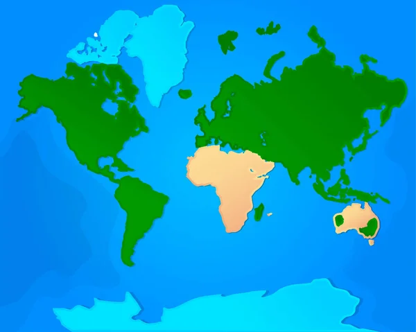
The world map is divided into continents.
The world map is divided into continents. — Stock Vector
Ancient world map
Ancient world map — Stock Vector
Europe silhouette
Europe silhouette — Stock Vector
Stylized old nautical card template. Vector illustration
Stylized old nautical card template. Vector illustration — Stock Vector
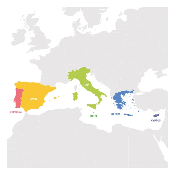
South Europe Region. Colorful map of countries in southern Europe around Mediterranean Sea. Vector illustration
South Europe Region. Colorful map of countries in southern Europe around Mediterranean Sea. Vector illustration — Stock Vector
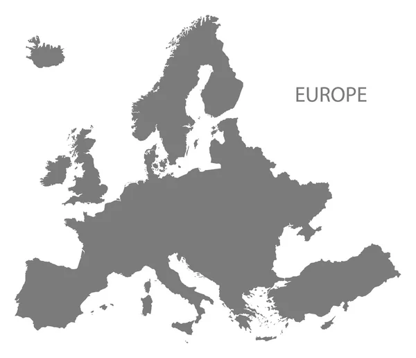
Europe Map grey
Europe Map grey — Stock Vector
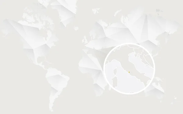
Vatican City map with flag in contour on white polygonal World M
Vatican City map with flag in contour on white polygonal World M — Stock Vector
Retro Color America Centered Political World Map
Retro Color America Centered Political World Map — Stock Vector
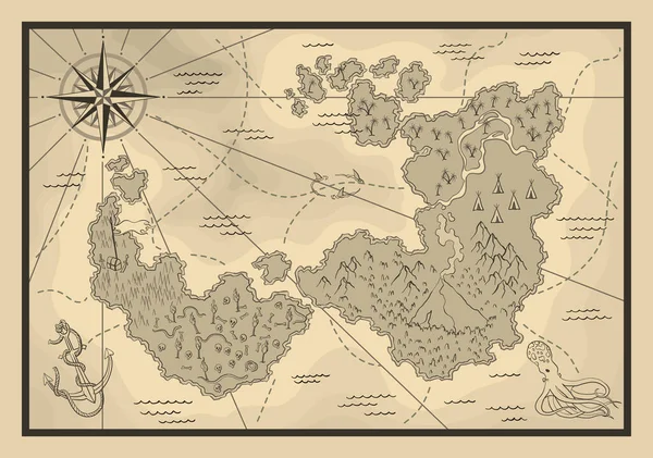
Cartoon island map template for next level game - adventures, treasure hunt. Pirate map with octopus and sharks. Pirate grunge map with windrose. Hand drawn vector illustration, vintage background.
Cartoon Island Map Template Next Level Game Adventures Treasure Hunt — Stock Vector
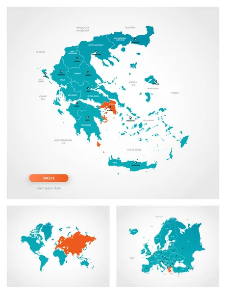
Editable template of map of Greece with marks. Greece on world map and on Europe map.
Editable Template Map Greece Marks Greece World Map Europe Map — Stock Vector
Vatican City map designed in isometric style, orange circle map.
Vatican City map designed in isometric style, orange circle map. — Stock Vector
World map concept
World map concept — Stock Vector
Europe Mainland Vector Cartoon Relief Map
Europe Mainland Vector Cartoon Relief Map — Stock Vector
Colored Greece Map
Colored Greece Map — Stock Vector
Black paint background
Black paint background — Stock Vector
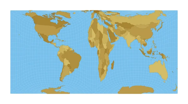
World Map Gringorten square equalarea projection Map of the world with meridians on blue
World Map Gringorten square equalarea projection Map of the world with meridians on blue — Stock Vector
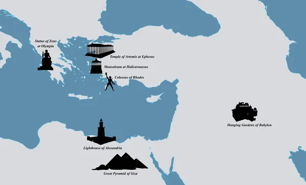
The Seven Ancient Wonders
The Seven Ancient Wonders — Stock Vector
Illustration of a Political Globe
Illustration of a Political Globe — Stock Vector
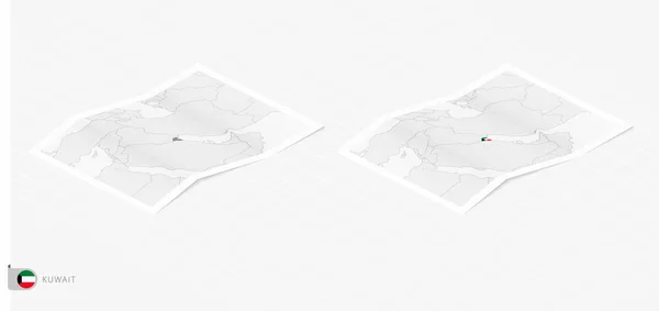
Set of two realistic map of Kuwait with shadow. The flag and map of Kuwait in isometric style.
Set Two Realistic Map Kuwait Shadow Flag Map Kuwait Isometric — Stock Vector
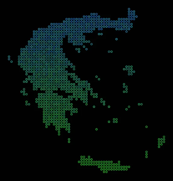
Circle Dot Greece Map
Circle Dot Greece Map — Stock Vector
Transparent silhouette of Greece map with schadow
Transparent Silhouette Greece Map Schadow — Stock Vector
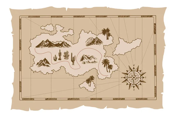
Pirate old map hand drawn Illustration.
Pirate Old Map Hand Drawn Illustration — Stock Vector
World Map Wagner VII projection Map of the world with meridians on blue background Vector
World Map Wagner VII projection Map of the world with meridians on blue background Vector — Stock Vector
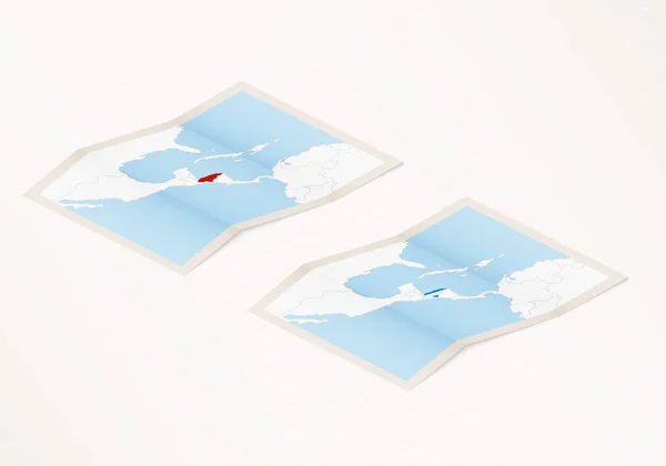
Two versions of a folded map of Honduras with the flag of the country of Honduras and with the red color highlighted.
Two Versions Folded Map Honduras Flag Country Honduras Red Color — Stock Vector
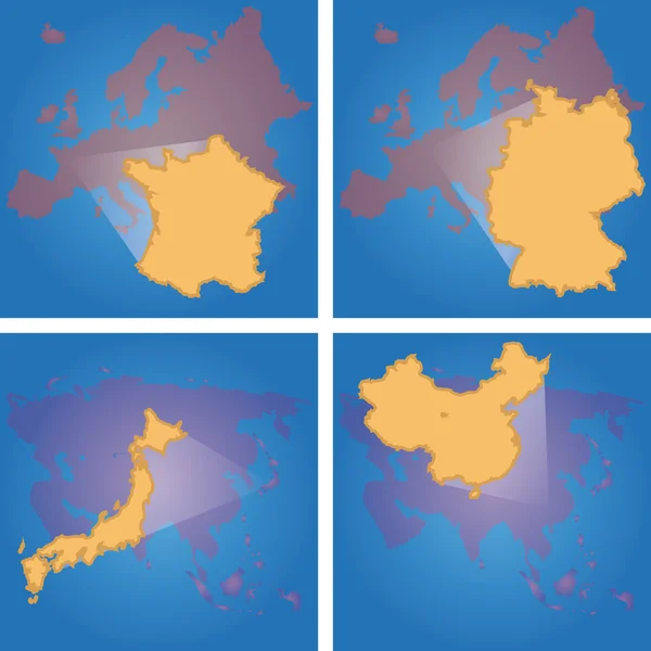
Map of Europe
Map of Europe — Stock Vector
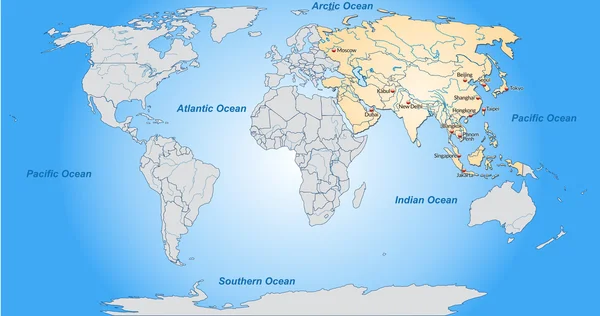
Map of Asia
Map of Asia — Stock Vector
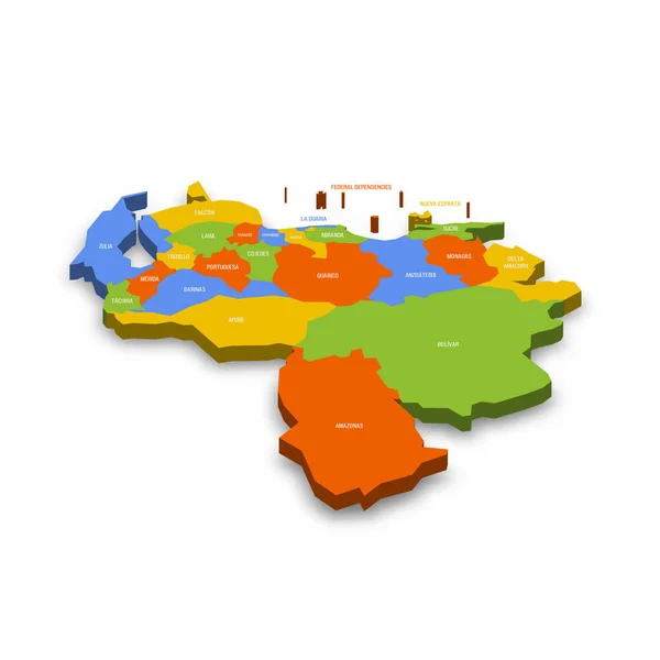
Venezuela political map of administrative divisions - states, capital district and federal dependencies. Colorful 3D vector map with country province names and dropped shadow.
Venezuela Political Map Administrative Divisions States Capital District Federal Dependencies — Stock Vector
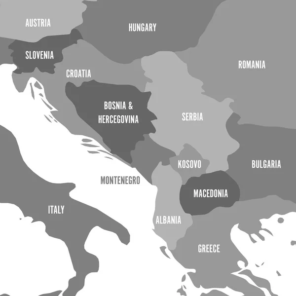
Political map of Balkans - States of Balkan Peninsula. Four shades of grey vector illustration
Political map of Balkans - States of Balkan Peninsula. Four shades of grey vector illustration — Stock Vector
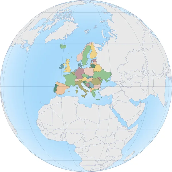
Europe continent is divided by country on Globe
Europe continent is divided by country on Globe — Stock Vector
Vintage World Map. Large Detailed World Map vector illustration.
Vintage World Map Large Detailed World Map Vector Illustration — Stock Vector
Map of Europe color line element. Border of the country.
Map of Europe color line element. Border of the country. — Stock Vector
Cartoon island map template for next level game. Pirate map with old fantasy creatures, treasure island. Hand drawn vector illustration, vintage background.
Cartoon Island Map Template Next Level Game Pirate Map Old — Stock Vector
Map silhouette europe
Map silhouette europe — Stock Vector
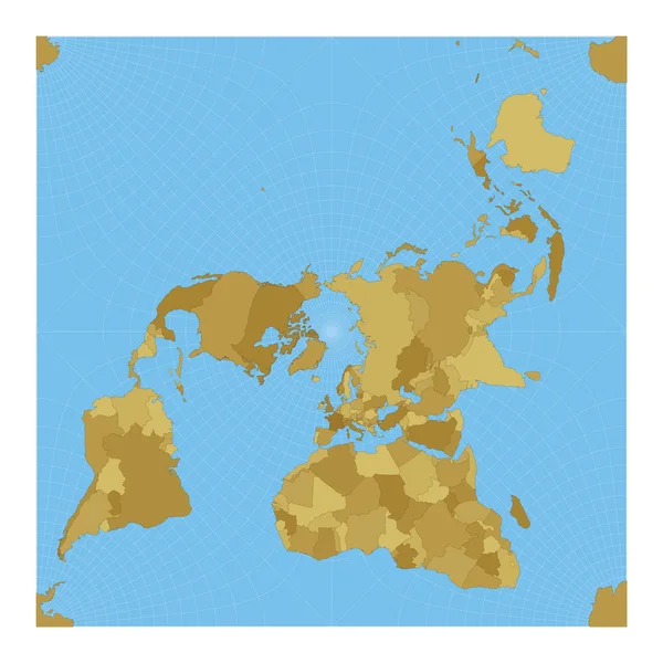
World Map Peirce quincuncial projection Map of the world with meridians on blue background Vector
World Map Peirce quincuncial projection Map of the world with meridians on blue background Vector — Stock Vector
Seamless background with continents and parts of the world
Seamless background with continents and parts of the world — Stock Vector
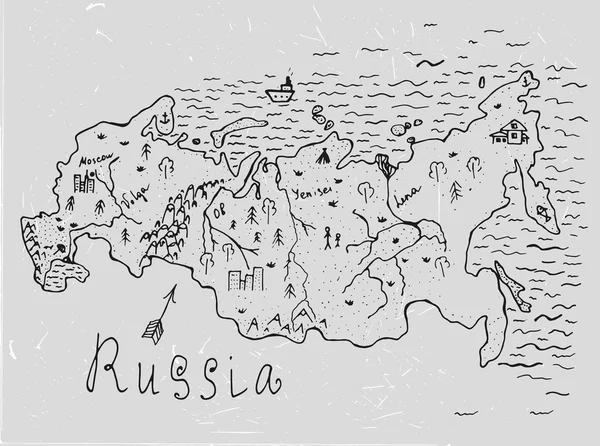
Russia vector map
Russia vector map — Stock Vector
Colorful Europe texture
Colorful Europe texture — Stock Vector
Political Sihouette Map of Central Europe
Political Sihouette Map of Central Europe — Stock Vector
Global map
Global map — Stock Vector
North Atlantic Treaty Organization, NATO, member countries silhouette map
North Atlantic Treaty Organization, NATO, member countries silhouette map — Stock Vector
World globe icon. vector earth logo. web global simbol illustration
World globe icon. vector earth logo. web global simbol illustration — Stock Vector
Eco friendly marks and icons with country silhouette
Eco friendly marks and icons with country silhouette — Stock Vector
Abstract vertical grunge colorful vector background. Texture, le
Abstract vertical grunge colorful vector background. Texture, le — Stock Vector
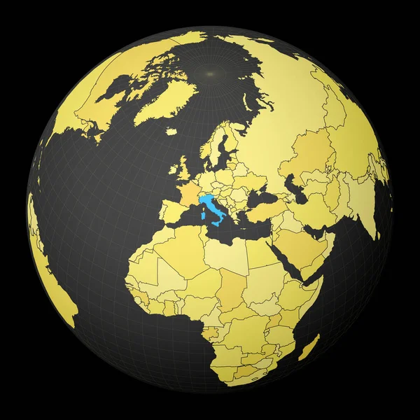
Italy on dark globe with yellow world map Country highlighted with blue color Satellite world
Italy on dark globe with yellow world map Country highlighted with blue color Satellite world — Stock Vector
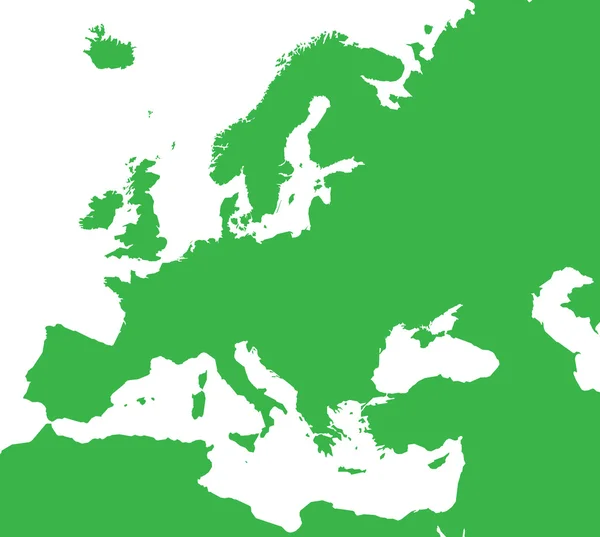
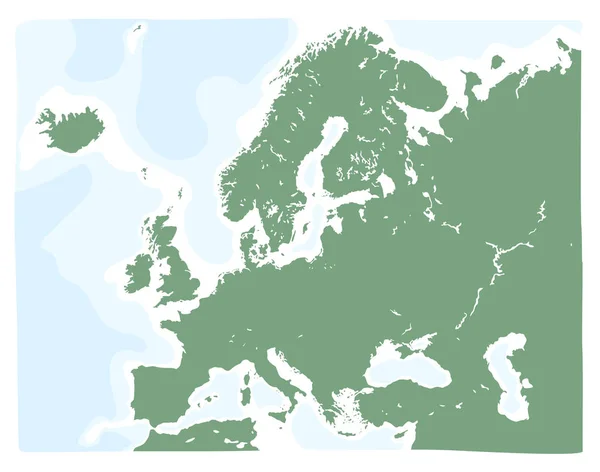
Hand drawn vector map of Europe in green color. Doodle style
Hand Drawn Vector Map Europe Green Color Doodle Style — Stock Vector
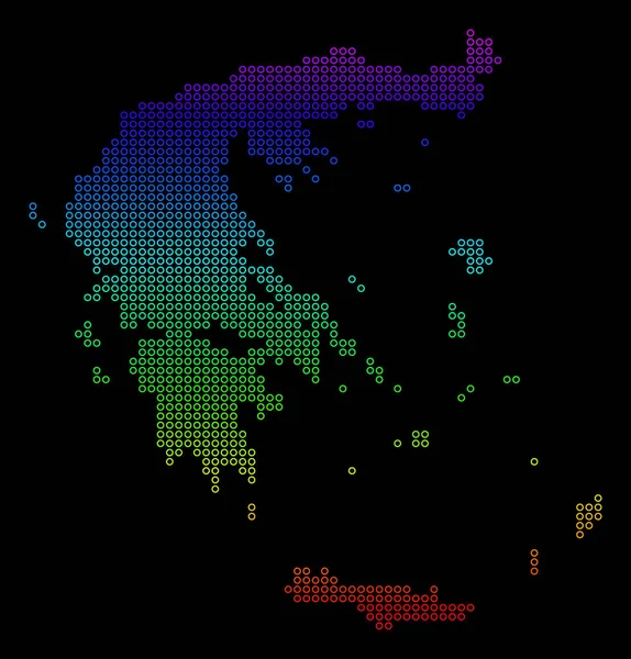
Colored Dotted Greece Map
Colored Dotted Greece Map — Stock Vector
Flat Purple Map of Europe on White Background without National Country Borders
Flat Purple Map Europe White Background National Country Borders — Stock Vector
Seamless pattern that looks like a fantastic geographical map with seas and continents
Seamless Pattern Looks Fantastic Geographical Map Seas Continents — Stock Vector

Welcome to our Collection of Mediterranean Map Vector Images

What you need to know about our Mediterranean Map Vector Images

Our Mediterranean Map Vector images are created on Adobe Illustrator and saved in both JPEG and AI file formats. These images are available for use in a wide range of projects such as brochure designs, websites, posters, and presentations. They are perfect for illustrating maps of the Mediterranean region and for providing graphic representations of Mediterranean landscapes, cultures, and landmarks.

Benefits of using Mediterranean Map Vector Images

Our collection of Mediterranean Map Vector images offers several benefits over other types of images. Firstly, vector images are scalable without losing their resolution, which means that regardless of the size of the image, the quality remains the same. Secondly, they are easily editable, allowing you to customize colors, shapes, and sizes to suit your project's specific needs. Finally, vector images provide a much more professional look for your projects than raster images, making them the best choice for designers and businesses.

Practical Tips for using Mediterranean Map Vector Images

When using Mediterranean Map Vector images, it’s important to take into account the theme of the project you're working on. Choose an image that complements the style and color scheme of your design. Additionally, consider the resolution and scalability of the image to ensure it will work well with your project's size and format. Finally, be sure to give proper attribution to the owner of the image, as someone put in the time and effort to create it.

Our Collection of Mediterranean Map Vector Images

Our collection of Mediterranean Map Vector images includes various images of the Mediterranean region, including maps, landmarks, and landscapes. Some of our most popular images include the Mediterranean Sea Map Vector, the Amalfi Coast Vector Image, the Santorini Island Vector, and the Greek Ruins Vector.
Overall, our Mediterranean Map Vector images are a great addition to any project that involves the Mediterranean region. With their scalable and editable features, convenient file formats, and professional look, they are the perfect choice for businesses and designers alike. So why wait? Check out our collection today and take your next project to the next level!