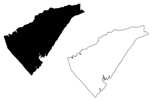
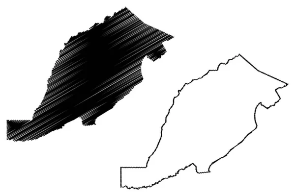
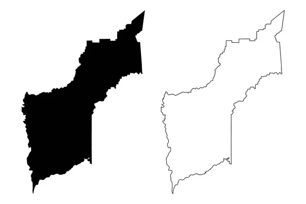
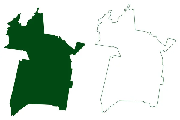
Cumberland County, Kentucky (U.S. county, United States of America, USA, U.S., US) map vector illustration, scribble sketch Cumberland map
Cumberland County Kentucky County United States America Usa Map Vector — Stock Vector
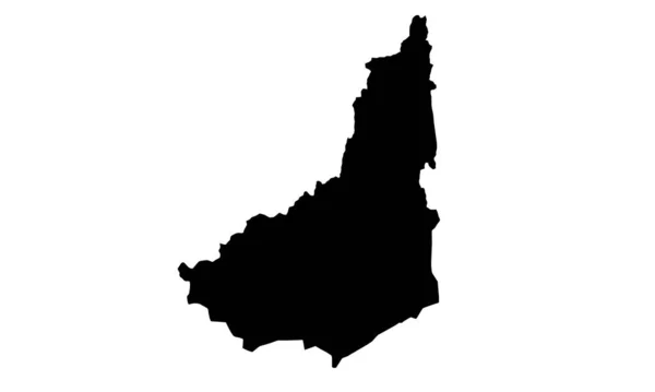
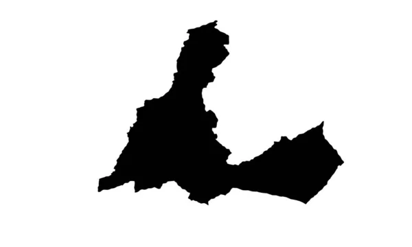
BUSTON TAJIKISTAN map silhouette on white background
Buston Tajikistan Map Silhouette White Background — Stock Vector
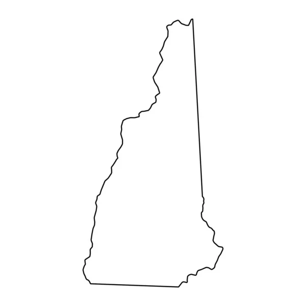
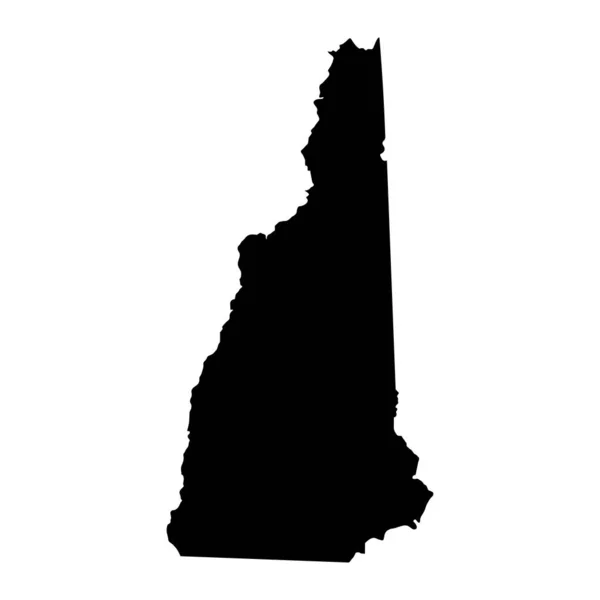
Blank New Hampshire vector map silhouette illustration isolated on white background. United state of America country. Editable empty New Hampshire line contour map.
Blank New Hampshire Vector Map Silhouette Illustration Isolated White Background — Stock Vector
Hand Drawn Trinidad And Tobago Map Illustration
Hand Drawn Trinidad Tobago Map Illustration — Stock Vector
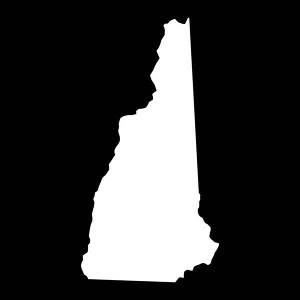
New Hampshire state map. US state map. New Hampshire outline symbol. Vector illustration
New Hampshire State Map State Map New Hampshire Outline Symbol — Stock Vector
Idaho State Flag Wavy And Grunged
Idaho State Flag Wavy And Grunged — Stock Vector
Black outline of New Hampshire map - vector illustration
Black outline of New Hampshire map - vector illustration — Stock Vector
New Hampshire map, united states of america. Flat concept icon symbol vector illustration .
New Hampshire Map United States America Flat Concept Icon Symbol — Stock Vector
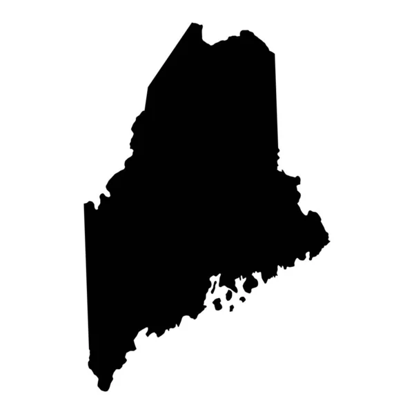
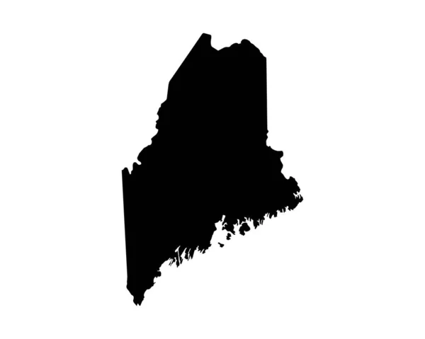
Maine map shape, united states of america. Flat concept icon symbol vector illustration .
Maine Map Shape United States America Flat Concept Icon Symbol — Stock Vector
Vermont US state stencil map. Laser cutting template on transparent background. Die cut vector shape. Silhouette mockup for any purposes.
Vermont State Stencil Map Laser Cutting Template Transparent Background Die — Stock Vector
Pike County, Commonwealth of Pennsylvania (U.S. county, United States of America, USA, U.S., US) map vector illustration, scribble sketch Pike map
Pike County Commonwealth Pennsylvania County United States America Usa Map — Stock Vector
New Hampshire map, united states of america. Flat concept icon symbol vector illustration .
New Hampshire Map United States America Flat Concept Icon Symbol — Stock Vector
New Hampshire map, united states of america. Flat concept icon symbol vector illustration .
New Hampshire Map United States America Flat Concept Icon Symbol — Stock Vector
Silhouette map of Lashkar Gah city in Afghanistan
Silhouette Map Lashkar Gah City Afghanistan — Stock Vector
Nelson County, Commonwealth of Virginia (U.S. county, United States of America, USA, U.S., US) map vector illustration, scribble sketch Nelson map
Nelson County Commonwealth Virginia County United States America Usa Map — Stock Vector
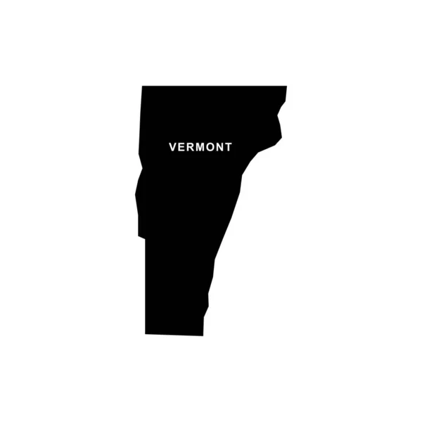
Vermont map icon. Vermont icon vector
Vermont Map Icon Vermont Icon Vector — Stock Vector
Love Vermont
Love Vermont — Stock Vector
Cabinda Province (Provinces of Angola, Republic of Angola) map vector illustration, scribble sketch Kabinda (Portuguese Congo, Tchiowa) ma
Cabinda Province (Provinces of Angola, Republic of Angola) map vector illustration, scribble sketch Kabinda (Portuguese Congo,  Tchiowa) ma — Stock Vector
Equatorial africa guinea icon in Outline style
Equatorial Africa Guinea Icon Outline Style — Stock Vector
America federal map icon in Outline style
America Federal Map Icon Outline Style — Stock Vector
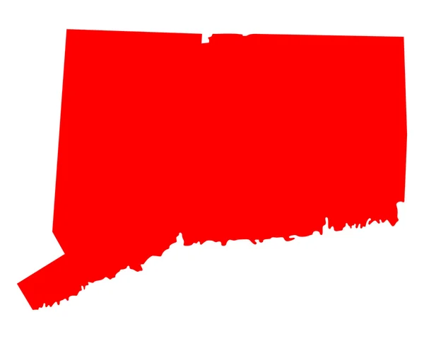
Map of Connecticut
Map of Connecticut — Stock Vector
Nova Redencao municipality (Bahia state, Municipalities of Brazil, Federative Republic of Brazil) map vector illustration, scribble sketch Nova Redencao map
Nova Redencao Municipality Bahia State Municipalities Brazil Federative Republic Brazil — Stock Vector
Placido de Castro municipality (Acre state, Municipalities of Brazil, Federative Republic of Brazil) map vector illustration, scribble sketch Placido de Castro map
Placido Castro Municipality Acre State Municipalities Brazil Federative Republic Brazil — Stock Vector
Vector Illustration of the Flag Map of USA Federal State of Delaware
Vector Illustration Flag Map Usa Federal State Delaware — Stock Vector
Otsego County, New York State (U.S. county, United States of America, USA, U.S., US) map vector illustration, scribble sketch Otsego map
Otsego County New York State County United States America Usa — Stock Vector
Lombok map silhouettein Indonesia
Lombok Map Silhouettein Indonesia — Stock Vector
Shenandoah County, Commonwealth of Virginia (U.S. county, United States of America, USA, U.S., US) map vector illustration, scribble sketch Dunmore map
Shenandoah County Commonwealth Virginia County United States America Usa Map — Stock Vector
Far North Region map vecto
Far North Region map vecto — Stock Vector
Glendale city map silhouette in California
Glendale City Map Silhouette California — Stock Vector
U.S. states - map of Massachusetts. Hand made. Rivers and lakes are shown. Please look at my other images of cartographic series - they are all very detailed and carefully drawn by hand WITH RIVERS AND LAKES.
States Map Massachusetts Hand Made Rivers Lakes Shown Please Look — Stock Vector
Maine US state outline map with the handwritten state name. Continuous line drawing of patriotic home sign
Maine US state outline map with the handwritten state name. Continuous line drawing of patriotic home sign — Stock Vector
Cambria County, Commonwealth of Pennsylvania (U.S. county, United States of America, USA, U.S., US) map vector illustration, scribble sketch Cambria map
Cambria County Commonwealth Pennsylvania County United States America Usa Map — Stock Vector
Map of the U.S. state of Connecticut
Map of the U.S. state of Connecticut — Stock Vector
Gold Vector Map of Connecticut State
Gold Vector Map of Connecticut State — Stock Vector
Calaveras County, California map vector
Calaveras County, California map vector — Stock Vector
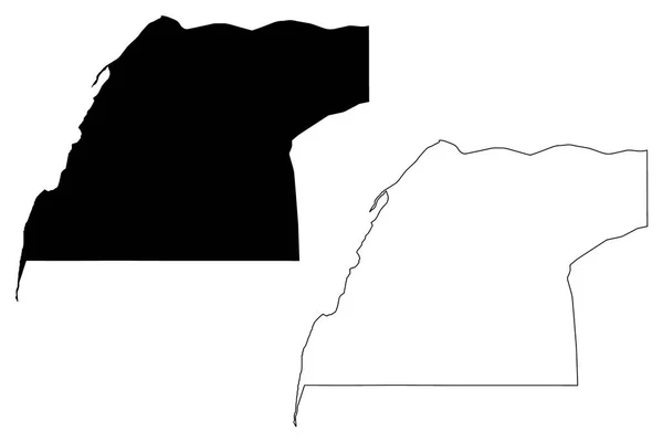
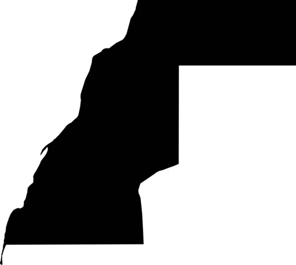
Dakhla-Oued Ed-Dahab Region map vecto
Dakhla-Oued Ed-Dahab Region map vecto — Stock Vector
Silhouette map of Maldonado city in Uruguay
Silhouette Map Maldonado City Uruguay — Stock Vector
Ukhrul district (Manipur State, Republic of India) map vector illustration, scribble sketch Ukhrul map
Ukhrul District Manipur State Republic India Map Vector Illustration Scribble — Stock Vector
Map of Maine
Map of Maine — Stock Vector
Chattanooga City (United States cities, United States of America, usa city) map vector illustration, scribble sketch City of Chattanooga map
Chattanooga City (United States cities, United States of America, usa city) map vector illustration, scribble sketch City of Chattanooga map — Stock Vector
Lake Renyitan (Taiwan, Republic of China, ROC) map vector illustration, scribble sketch Renyitan Dam map
Lake Renyitan Taiwan Republic China Roc Map Vector Illustration Scribble — Stock Vector
Orange map of US federal state of Maine (Pine Tree State)
Orange Map Federal State Maine Pine Tree State — Stock Vector
Aracatu municipality (Bahia state, Municipalities of Brazil, Federative Republic of Brazil) map vector illustration, scribble sketch Aracatu map
Aracatu Municipality Bahia State Municipalities Brazil Federative Republic Brazil Map — Stock Vector
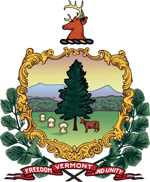
Official current vector coat of arms of the Federal State of Vermont, USA
Official Current Vector Coat Arms Federal State Vermont Usa — Stock Vector
Light topographic map of the Federal State of Maryland, USA with black contour lines on beige background
Light Topographic Map Federal State Maryland Usa Black Contour Lines — Stock Vector
Osage County, Missouri (U.S. county, United States of America, USA, U.S., US) map vector illustration, scribble sketch Osage map
Osage County Missouri County United States America Usa Map Vector — Stock Vector
Spruce icon illustration
Spruce icon illustration — Stock Vector
Map of Vermont
Map of Vermont — Stock Vector
State Vermont - vector illustration.
State Vermont - vector illustration. — Stock Vector
Diffa region map, administrative division of the country of Niger. Vector illustration.
Diffa Region Map Administrative Division Country Niger Vector Illustration — Stock Vector
Map of Maine
Map of Maine — Stock Vector
Country Shape Illustration of Mali
Country Shape Illustration of Mali — Stock Vector
Nicholas County, Kentucky (U.S. county, United States of America, USA, U.S., US) map vector illustration, scribble sketch Nicholas map
Nicholas County Kentucky County United States America Usa Map Vector — Stock Vector
Simple outline map of Vermont is a state of United States. Stylized minimal line design
Simple Outline Map Vermont State United States Stylized Minimal Line — Stock Vector
Silhouette map of Peoria County in Illinois
Silhouette Map Peoria County Illinois — Stock Vector
Topographic technical drawing relief map of the city of Bern, Switzerland with white contour lines on blue background
Topographic Technical Drawing Relief Map City Bern Switzerland White Contour — Stock Vector
Richland County, Louisiana (U.S. county, United States of America, USA, U.S., US) map vector illustration, scribble sketch Richland Parish map
Richland County Louisiana County United States America Usa Map Vector — Stock Vector
Carson City, Nevada (U.S. county, United States of America, USA, U.S., US) map vector illustration, scribble sketch Consolidated Municipality of Carson City map
Carson City Nevada County United States America Usa Map Vector — Stock Vector
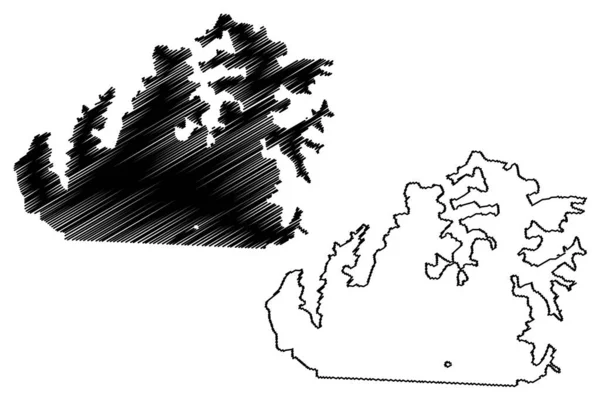
Kupreanof island (United States of America, North America, Alaska, US, USA, Alexander Archipelago) map vector illustration, scribble sketch Kupreanof map
Kupreanof Island United States America North America Alaska Usa Alexander — Stock Vector
Maine US Map. ME USA State Map. Black and White Mainer State Border Boundary Line Outline Geography Territory Shape Vector Illustration EPS Clipart
Maine Map Usa State Map Black White Mainer State Border — Stock Vector
Maryland US state hand drawn pencil sketch outline map with the handwritten heart shape. Vector illustration
Maryland US state hand drawn pencil sketch outline map with the handwritten heart shape. Vector illustration — Stock Vector
New Hampshire NH State Border USA Map Solid
New Hampshire State Border Usa Map Solid — Stock Vector
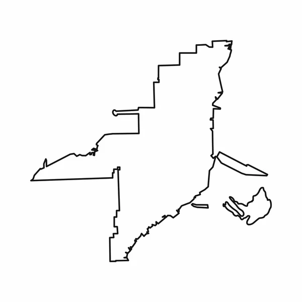
Florida map icon, outline style
Florida map icon, outline style — Stock Vector
Map of lake toga in switzerland
Map Lake Toga Switzerland — Stock Vector
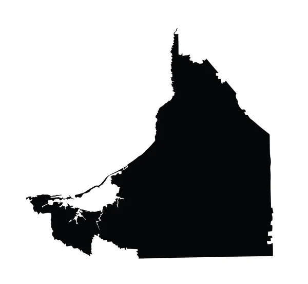
Mexico province map, Campeche vector map silhouette isolated on white background. High detailed silhouette illustration.
Mexico Province Map Campeche Vector Map Silhouette Isolated White Background — Stock Vector
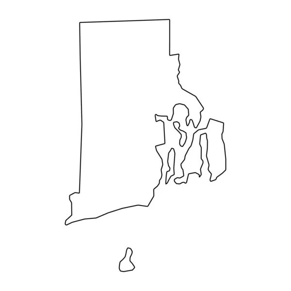
Vector Rhode Island Map silhouette. Isolated vector Illustration. Black on White background.
Vector Rhode Island Map Silhouette Isolated Vector Illustration Black White — Stock Vector
Map of Vermont
Map of Vermont — Stock Vector
Connecticut vector map silhouette. High detailed illustration. United state of America country
Connecticut vector map silhouette. High detailed illustration. United state of America country — Stock Vector
Kapenguria city map silhouette in Kenya
Kapenguria City Map Silhouette Kenya — Stock Vector
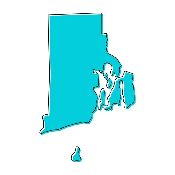
Rhode island map shape, united states of america. Flat concept symbol vector illustration .
Rhode Island Map Shape United States America Flat Concept Symbol — Stock Vector
Wuhan City (People's Republic of China, Hubei Province) map vector illustration, scribble sketch City of Wuhan map
Wuhan City People Republic China Hubei Province Map Vector Illustration — Stock Vector
Tel Aviv city map silhouette in Israel
Tel Aviv City Map Silhouette Israel — Stock Vector
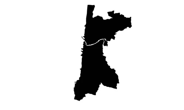
Maroua city map silhouette in Cameroon
Maroua City Map Silhouette Cameroon — Stock Vector
Gold Vector Map of Massachusetts State
Gold Vector Map of Massachusetts State — Stock Vector
Black flat blank highlighted locator map of the PEEL REGION inside gray administrative map of Greater Toronto Area
Black Flat Blank Highlighted Locator Map Peel Region Gray Administrative — Stock Vector
Najran Region map vecto
Najran Region map vecto — Stock Vector
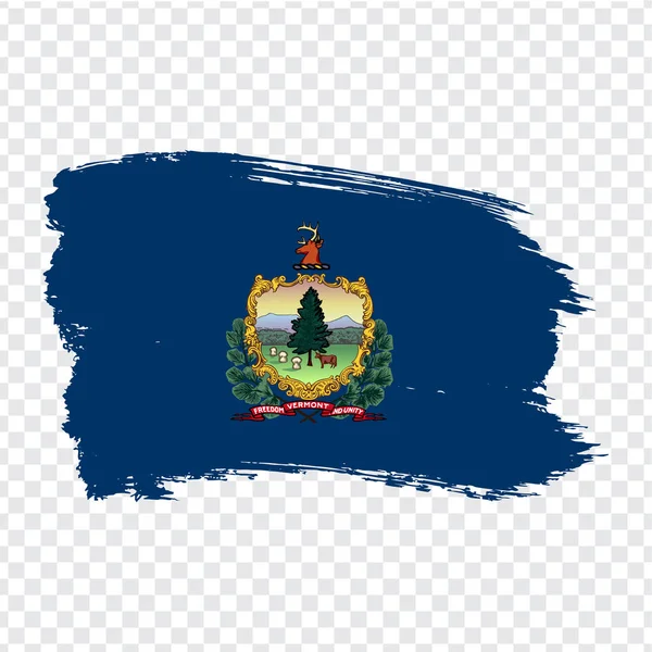
Flag of Vermont from brush strokes. United States of America. Flag Vermont on transparent background for your web site design, logo, app, UI. Stock vector. Vector illustration EPS10.
Flag of Vermont from brush strokes. United States of America.  Flag Vermont on transparent background for your web site design, logo, app, UI. Stock vector. Vector illustration EPS10. — Stock Vector
Rhode island map shape, united states of america. Flat concept symbol vector illustration .
Rhode Island Map Shape United States America Flat Concept Symbol — Stock Vector
Stylized green sketch map of Maine
Stylized Green Sketch Map Maine — Stock Vector
Maine, state of USA - solid black outline map of country area. Simple flat vector illustration
Maine, state of USA - solid black outline map of country area. Simple flat vector illustration — Stock Vector
Vermont Map Flag. Map of VT, USA with the state flag. United States, America, American, United States of America, US State Banner. Vector illustration.
Vermont Map Flag Map Usa State Flag United States America — Stock Vector
Sena Madureira municipality (Acre state, Municipalities of Brazil, Federative Republic of Brazil) map vector illustration, scribble sketch Sena Madureira map
Sena Madureira Municipality Acre State Municipalities Brazil Federative Republic Brazil — Stock Vector
America city federal icon in Outline style
America City Federal Icon Outline Style — Stock Vector
Milagres municipality (Bahia state, Municipalities of Brazil, Federative Republic of Brazil) map vector illustration, scribble sketch Milagres map
Milagres Municipality Bahia State Municipalities Brazil Federative Republic Brazil Map — Stock Vector
Map of Connecticut
Map of Connecticut — Stock Vector
Floyd County, Commonwealth of Virginia (U.S. county, United States of America, USA, U.S., US) map vector illustration, scribble sketch Floyd map
Floyd County Commonwealth Virginia County United States America Usa Map — Stock Vector
Yuba County, California map vector
Yuba County, California map vector — Stock Vector
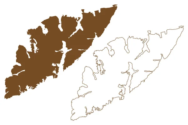
Austvagoy island (Kingdom of Norway, Lofoten Archipelago) map vector illustration, scribble sketch Austvagoya map
Austvagoy Island Kingdom Norway Lofoten Archipelago Map Vector Illustration Scribble — Stock Vector
Meta department map, administrative division of Colombia.
Meta Department Map Administrative Division Colombia — Stock Vector
Flag of Idaho US State in grunge brush.
Flag of Idaho US State in grunge brush. — Stock Vector
Aqaba governorate map, administrative division of Jordan.
Aqaba Governorate Map Administrative Division Jordan — Stock Vector
America federal manchester icon in Outline style
America Federal Manchester Icon Outline Style — Stock Vector
New England Traveling
New England Traveling — Stock Vector
U.S. states - map of New Hampshire. Hand made. Rivers and lakes are shown. Please look at my other images of cartographic series - they are all very detailed and carefully drawn by hand WITH RIVERS AND LAKES.
States Map New Hampshire Hand Made Rivers Lakes Shown Please — Stock Vector
Ravenna province (Italy, Italian Republic, Emilia-Romagna region) map vector illustration, scribble sketch Province of Ravenna map
Ravenna Province Italy Italian Republic Emilia Romagna Region Map Vector — Stock Vector
New Hampshire country map silhouette in the United States
New Hampshire Country Map Silhouette United States — Stock Vector
Map of UAE with exclamation mark as line drawing on white background
Map Uae Exclamation Mark Line Drawing White Background — Stock Vector
Silhouette map of Honolulu city in hawaii
Silhouette Map Honolulu City Hawaii — Stock Vector
Tahoua region map, administrative division of the country of Niger. Vector illustration.
Tahoua Region Map Administrative Division Country Niger Vector Illustration — Stock Vector
Matamoros municipality (Free and Sovereign State of Coahuila de Zaragoza, Mexico, United Mexican States) map vector illustration, scribble sketch Matamoros map
Matamoros Municipality Free Sovereign State Coahuila Zaragoza Mexico United Mexican — Stock Vector

Discover the Best New Hampshire Vector Images for Your Next Project

New Hampshire is undoubtedly one of the most picturesque states in the USA, with its stunning mountains, scenic lakes, and charming small towns. If you are looking for professional-quality vector images capturing the spirit and beauty of this great state, you have come to the right place. Our collection of high-quality vector images is updated regularly to cater to the needs of different projects, from web design to print media.

The Best New Hampshire Vector Images

Our extensive collection of New Hampshire vector images includes everything from intricate maps and flags to stunning landscapes and cityscapes. You will find a wide range of styles, themes, and colors, making it easy to find the perfect image for your project, regardless of its purpose or audience. Each image is available in AI, EPS, and JPG formats, making it simple to use them on various platforms and applications.

Where to Use New Hampshire Vector Images

There are countless ways to incorporate our New Hampshire vector images into your next project. Whether you are designing promotional materials for a local business, creating a website for a state park, or working on a school project, our images can help you make a lasting impression. They are also suitable for advertising campaigns, greeting cards, prints, and more.

Tips for Using Vector Images

Using vector images can significantly enhance the visual appeal of your project. However, it is essential to use them correctly to avoid unprofessional results. Here are some tips to keep in mind:

  • Choose images that accurately represent your concept and message.
  • Make sure the images are clear, high-quality, and appropriately sized.
  • Avoid overusing images, as this can make your project appear cluttered or distracting.
  • Use images that are suitable for the medium you are working on.
  • Consider the color scheme and theme of your project when choosing images to ensure they match.

By following these simple tips, you can make the most out of your New Hampshire vector images and create visually stunning projects.

The Bottom Line

If you are on the lookout for top-quality New Hampshire vector images, look no further than our collection. With a vast selection of styles, themes, and formats available, you can quickly find the perfect image for your next project. Remember to follow the tips we discussed to use the images effectively and create the best possible results.