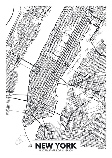
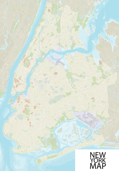
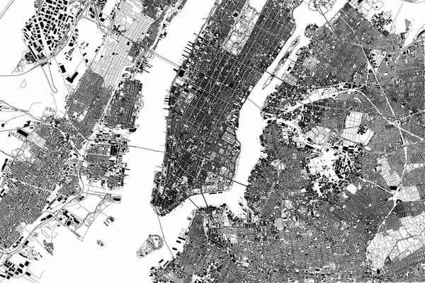
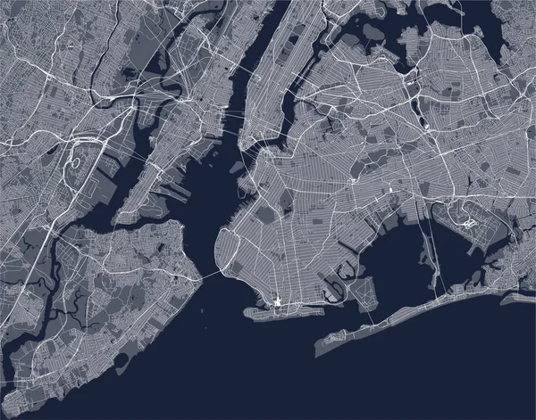
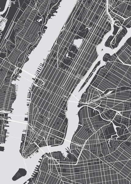
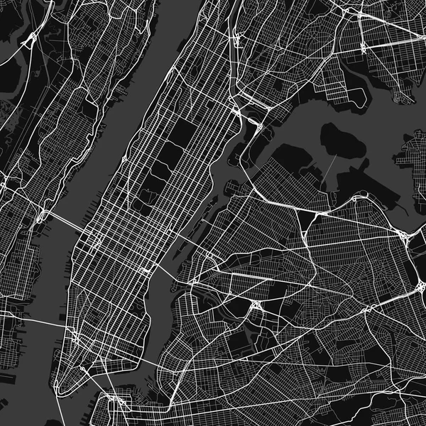
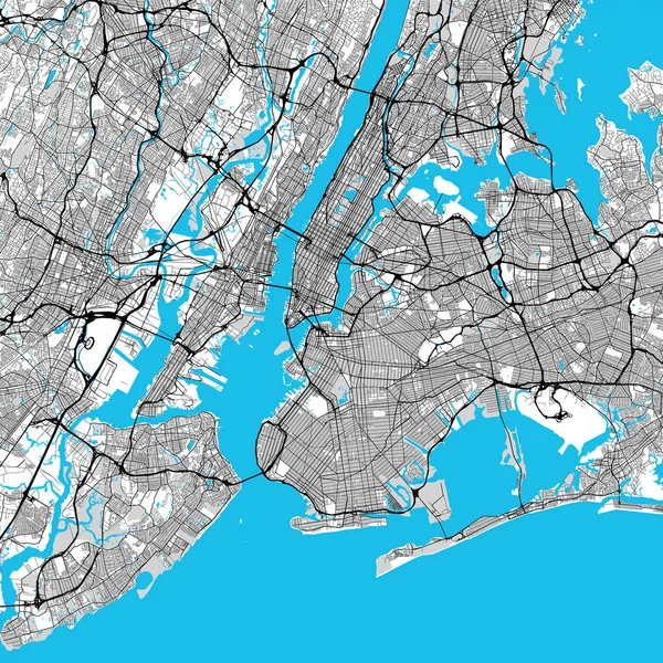
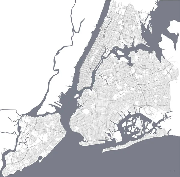
Vector poster map city New York
Vector poster map city New York — Stock Vector
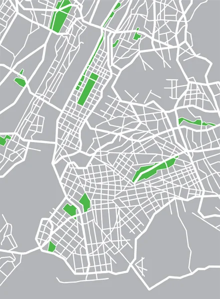
Vector illustration map of New York
Vector illustration map of New York — Stock Vector
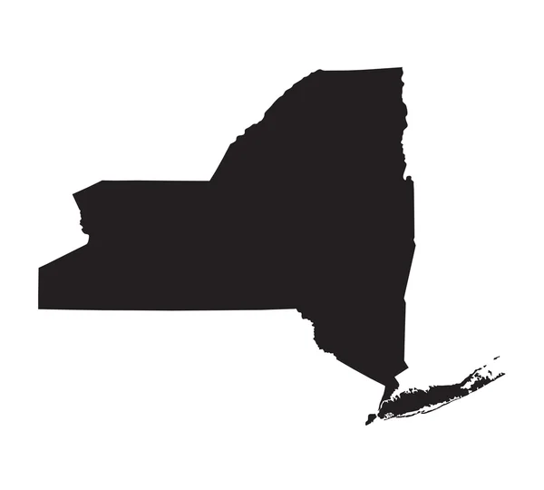
Black map of New York
Black map of New York — Stock Vector
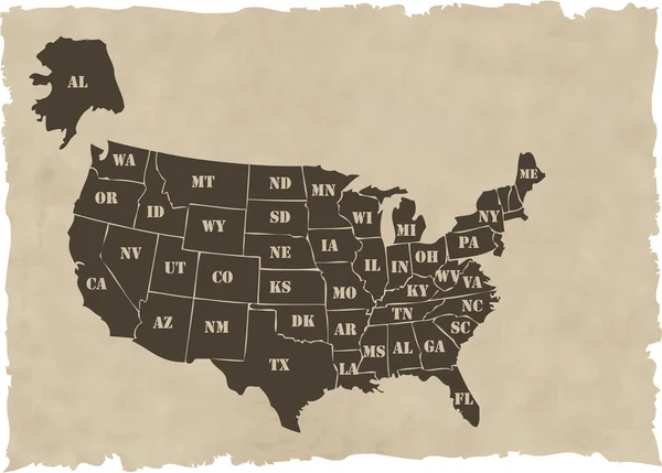
The vector retro usa map
The vector retro usa map — Stock Vector
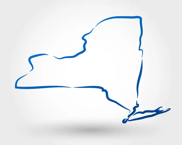
New York map
New York map — Stock Vector
Map of New York
Map of New York — Stock Vector
New York City Manhattan One Color Map
New York City Manhattan One Color Map — Stock Vector
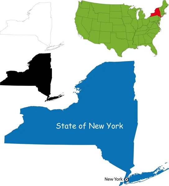
Map of the U.S. state of New York on a white background
Map of the U.S. state of New York on a white background — Stock Vector
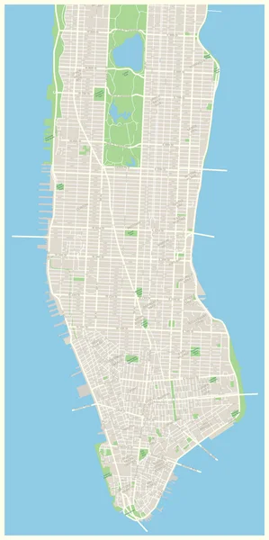
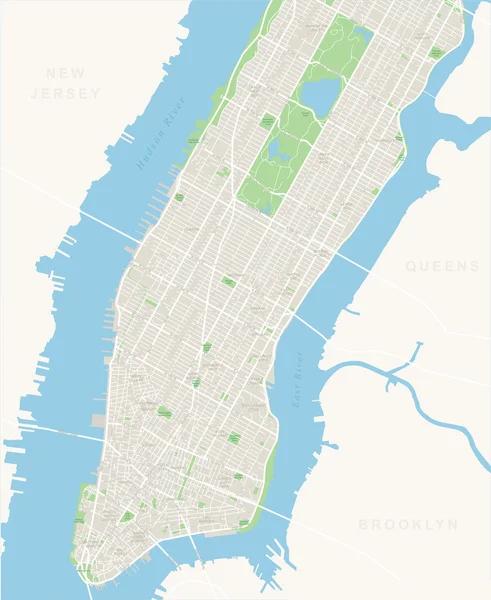
New York Map - Lower and Mid Manhattan.
New York Map - Lower and Mid Manhattan. — Stock Vector
New york map
New york map — Stock Vector
New York grunge stamp
New York grunge stamp — Stock Vector
Large vector map of New York ultra detailed
Large vector map of New York ultra detailed — Stock Vector
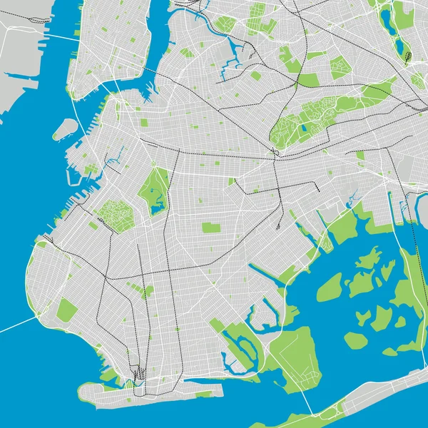
Brooklyn New York detailed vector map editable
Brooklyn New York detailed vector map editable — Stock Vector
New York map, satellite view, the United States, illustration, houses, neighborhoods and streets
New York Map Satellite View United States Illustration Houses Neighborhoods — Stock Vector
Map of the U.S. state of New York on a white background. America
Map of the U.S. state of New York on a white background. America — Stock Vector
New York stamp
New York stamp — Stock Vector
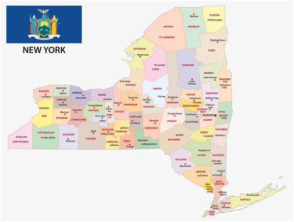
New york administrative map with flag
New york administrative map with flag — Stock Vector
Map of the New York City, NY, USA
Map of the New York City, NY, USA — Stock Vector
New York City, New York - Map Poster Design
New York City, New York - Map Poster Design — Stock Vector
Vector detailed map New York
Vector detailed map New York — Stock Vector
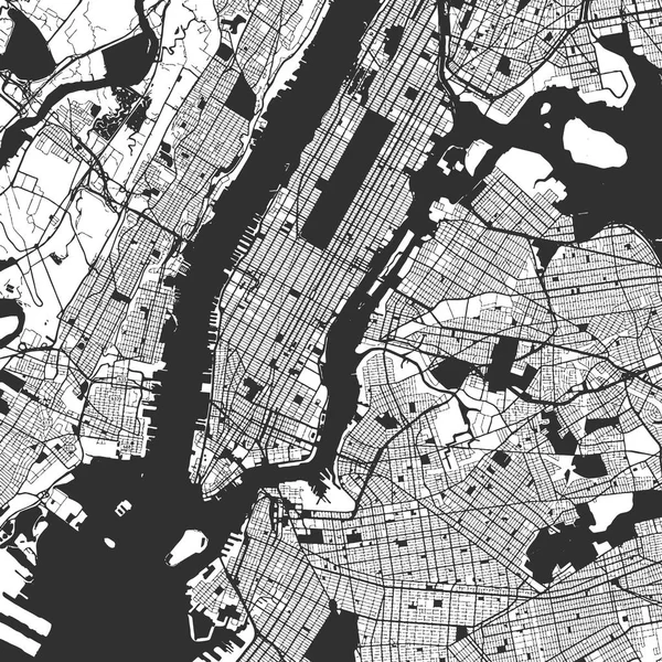
Vector city map of New York in black and white
Vector city map of New York in black and white — Stock Vector
New York City Big Area Map
New York City Big Area Map — Stock Vector
Map of the United States
Map of the United States — Stock Vector
New York map
New York map — Stock Vector
Map of the New York City, NY, USA
Map of the New York City, NY, USA — Stock Vector
City Map of New York
City Map of New York — Stock Vector
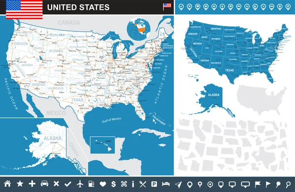
United States (USA) - infographic map - illustration.
United States (USA) - infographic map - illustration. — Stock Vector
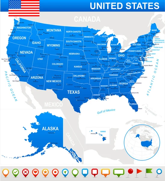
United States (USA) - map, flag and navigation icons - illustration.
United States (USA) - map, flag and navigation icons - illustration. — Stock Vector
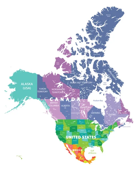
Colored map of USA, Canada and Mexico states
Colored map of USA, Canada and Mexico states — Stock Vector
New york
New york — Stock Vector
New York vintage t-shirt graphic design with city map.
New York vintage t-shirt graphic design with city map. — Stock Vector
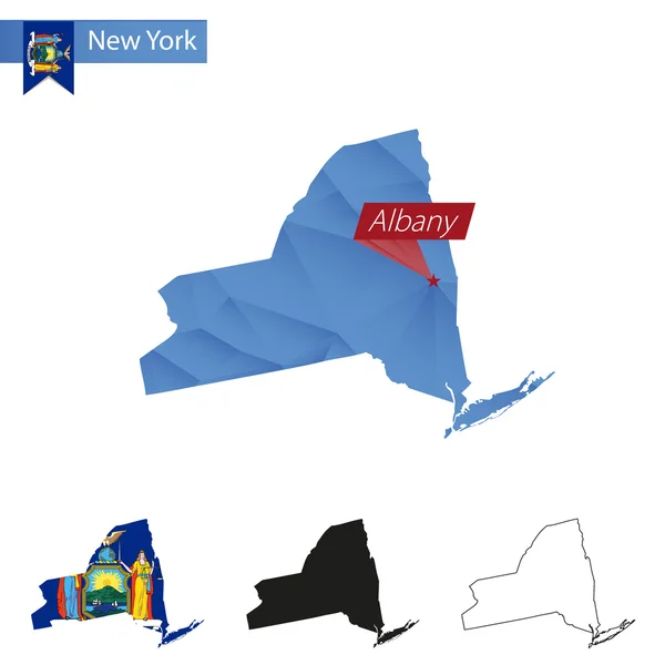
State of New York blue Low Poly map with capital Albany.
State of New York blue Low Poly map with capital Albany. — Stock Vector
New York state counties
New York state counties — Stock Vector
USA map with separated states
USA map with separated states — Stock Vector
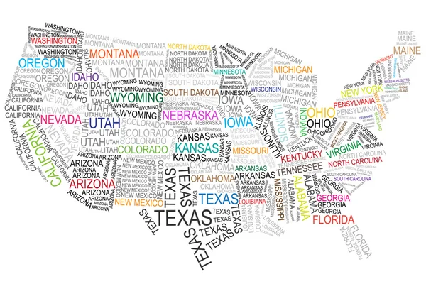
United states of america map made of words
United states of america map made of words — Stock Vector
Map of USA with lettering and symbols
Map of USA with lettering and symbols — Stock Vector
Vector illustration map of New York
Vector illustration map of New York — Stock Vector
Shiny icon in form of New York state, USA
Shiny icon in form of New York state, USA — Stock Vector
Wedding Background
Wedding Background — Stock Vector
New York Map - Lower and Mid Manhattan
New York Map - Lower and Mid Manhattan — Stock Vector
New York City icons - vector set eps10
New York City icons - vector set eps10 — Stock Vector
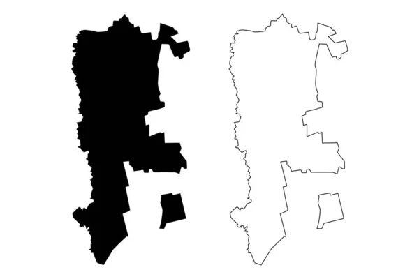
Gagauzia or Gagauz Yeri, officially the Autonomous Territorial Unit of Gagauzia is an autonomous territorial unit of Moldova. Vector illustration.
Gagauzia Gagauz Yeri Officially Autonomous Territorial Unit Gagauzia Autonomous Territorial — Stock Vector
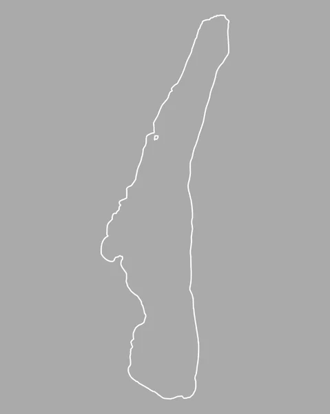
Map of Lake Starnberg
Map of Lake Starnberg — Stock Vector
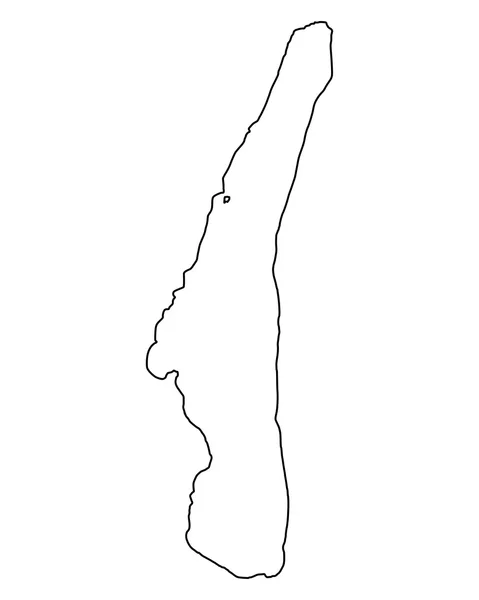
Map of Lake Starnberg
Map of Lake Starnberg — Stock Vector
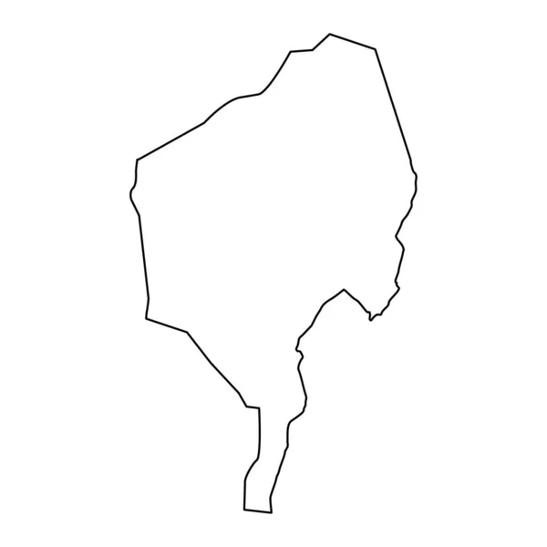
Blue Nile State map, administrative division of Sudan. Vector illustration.
Blue Nile State Map Administrative Division Sudan Vector Illustration — Stock Vector
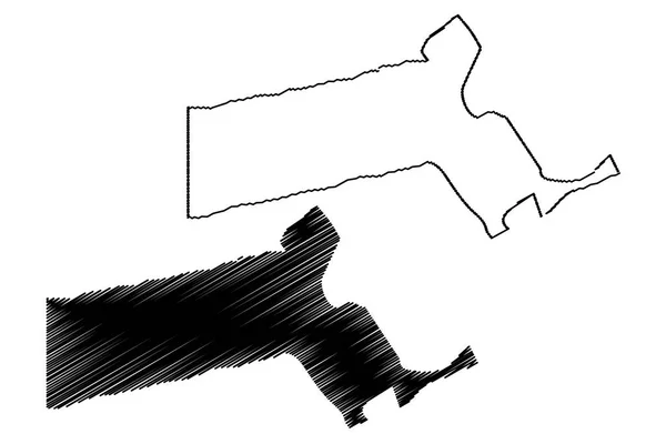
Massachusetts map vector illustration, scribble sketch Massachusetts map
Massachusetts Map Vector Illustration Scribble Sketch Massachusetts Map — Stock Vector
Cahul District (Republic of Moldova, Administrative divisions of Moldova) map vector illustration, scribble sketch Cahul map
Cahul District (Republic of Moldova, Administrative divisions of Moldova) map vector illustration, scribble sketch Cahul map — Stock Vector
Chattanooga City (United States cities, United States of America, usa city) map vector illustration, scribble sketch City of Chattanooga map
Chattanooga City (United States cities, United States of America, usa city) map vector illustration, scribble sketch City of Chattanooga map — Stock Vector
Gagauzia or Gagauz Yeri, officially the Autonomous Territorial Unit of Gagauzia is an autonomous territorial unit of Moldova. Vector illustration.
Gagauzia Gagauz Yeri Officially Autonomous Territorial Unit Gagauzia Autonomous Territorial — Stock Vector
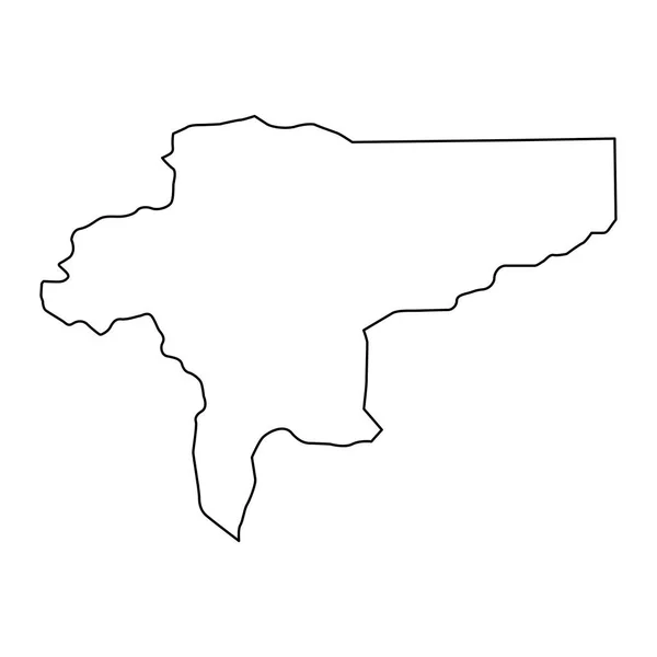
Isfahan province map, administrative division of Iran. Vector illustration.
Isfahan Province Map Administrative Division Iran Vector Illustration — Stock Vector
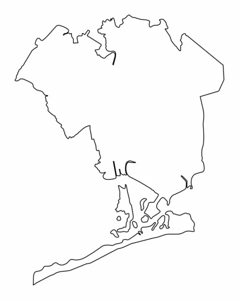
Queens borough map outline isolated on white background, New York City
Queens Borough Map Outline Isolated White Background New York City — Stock Vector
Illustrated Country Shape of Guinea Bissau
Illustrated Country Shape of Guinea Bissau — Stock Vector
High quality map of Monaco with borders of the regions on white background
High Quality Map Monaco Borders Regions White Background — Stock Vector
Paraguay - solid black outline border map of country area. Simple flat vector illustration
Paraguay - solid black outline border map of country area. Simple flat vector illustration — Stock Vector
Galax city County, Commonwealth of Virginia (Independent city, U.S. county, United States of America, USA, U.S., US) map vector illustration, scribble sketch Galax map
Galax City County Commonwealth Virginia Independent City County United States — Stock Vector
Copenhagen, Denmark printable map
Copenhagen, Denmark printable map — Stock Vector
Wavy, waving, billowy, squiggle and squiggly line. Irregular random lines
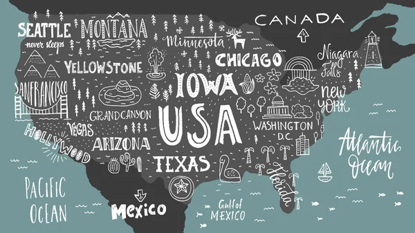
Wavy Waving Billowy Squiggle Squiggly Line Irregular Random Lines — Stock Vector
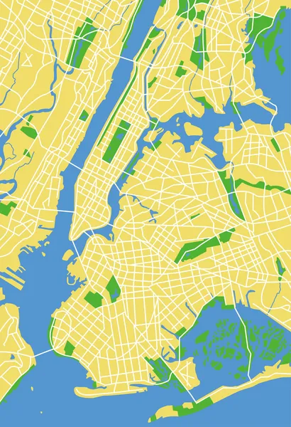
Montreal City (Canada, Quebec Province) map vector illustration, scribble sketch City of Montreal map
Montreal City Canada Quebec Province Map Vector Illustration Scribble Sketch — Stock Vector
Bandera County, Texas map vector
Bandera County, Texas map vector — Stock Vector
Angola - 3D black thin outline silhouette map of country area. Simple flat vector illustration
Angola - 3D black thin outline silhouette map of country area. Simple flat vector illustration — Stock Vector
Map of Lake Starnberg
Map of Lake Starnberg — Stock Vector
Topographic map of Dublin, Ireland with black contour lines on beige background
Topographic Map Dublin Ireland Black Contour Lines Beige Background — Stock Vector
Caribbean country islands icon in Outline style
Caribbean Country Islands Icon Outline Style — Stock Vector
Accurate map of Vlieland
Accurate map of Vlieland — Stock Vector
Glasgow city map silhouette in Scotland
Glasgow City Map Silhouette Scotland — Stock Vector
Tucuman City (Argentine Republic, Tucuman Province) map vector illustration, scribble sketch City of San Miguel de Tucuman map
Tucuman City Argentine Republic Tucuman Province Map Vector Illustration Scribble — Stock Vector
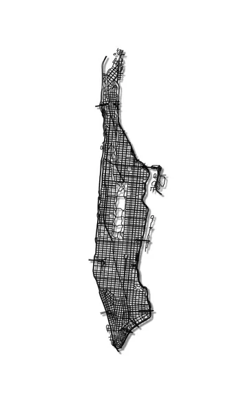
Map of Manhattan streets.
Map of Manhattan streets. — Stock Vector
Country Shape Illustration of Mauritania
Country Shape Illustration of Mauritania — Stock Vector
Grunge Brush Stroke set
Grunge Brush Stroke set — Stock Vector
Connecticut map vector illustration, scribble sketch Connecticut map
Connecticut Map Vector Illustration Scribble Sketch Connecticut Map — Stock Vector
Qatif City (Kingdom of Saudi Arabia, Ash-Sharqiyyah or Eastern Province) map vector illustration, scribble sketch City of Al-Qatif map
Qatif City Kingdom Saudi Arabia Ash Sharqiyyah Eastern Province Map — Stock Vector
Urban vector city map of Detroit, Michigan, United States of America
Urban vector city map of Detroit, Michigan, United States of America — Stock Vector
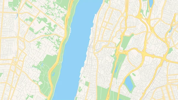
Empty vector map of Yonkers, New York, USA
Empty vector map of Yonkers, New York, USA — Stock Vector
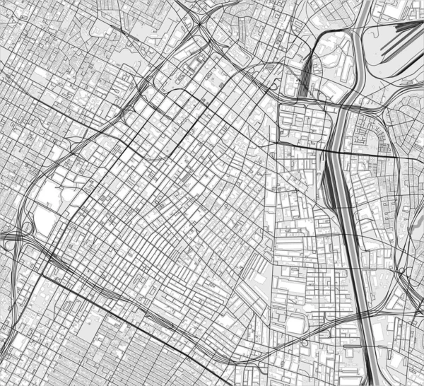
Map of the city of Los Angeles, USA
Map of the city of Los Angeles, USA — Stock Vector
Benin - solid black outline border map of country area. Simple flat vector illustration
Benin - solid black outline border map of country area. Simple flat vector illustration — Stock Vector
Mogadishu City (Federal Republic of Somalia, Banaadir Region) map vector illustration, scribble sketch City of Xamar or Hamar map
Mogadishu City Federal Republic Somalia Banaadir Region Map Vector Illustration — Stock Vector
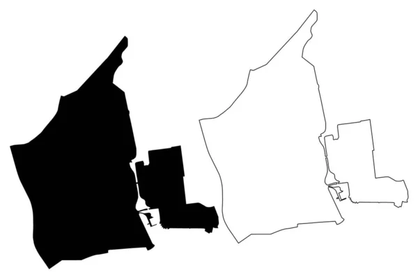
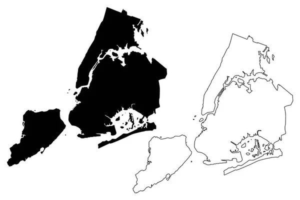
New York City ( United States cities, United States of America, usa city, NYC or NY) map vector illustration, scribble sketch City of New York map
New York City United States Cities United States America Usa — Stock Vector
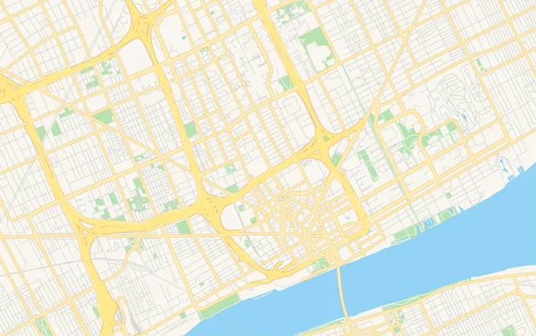
Empty vector map of Detroit, Michigan, USA
Empty vector map of Detroit, Michigan, USA — Stock Vector
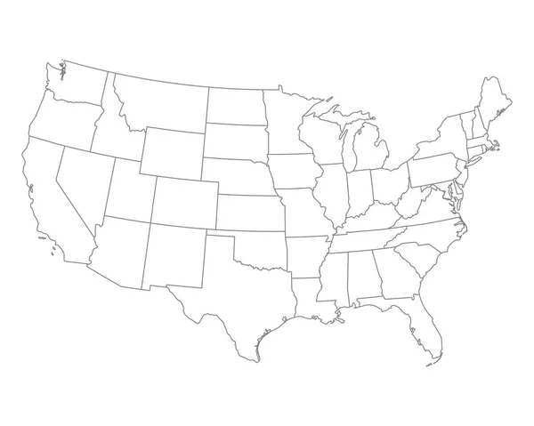
Accurate map of USA
Accurate map of USA — Stock Vector
Kamianske City (Ukraine, Dnipropetrovsk Oblast) map vector illustration, scribble sketch City of Dniprodzerzhynsk map
Kamianske City Ukraine Dnipropetrovsk Oblast Map Vector Illustration Scribble Sketch — Stock Vector
Set of two realistic map of Rhode Island with shadow. The flag and map of Rhode Island in isometric style.
Set Two Realistic Map Rhode Island Shadow Flag Map Rhode — Stock Vector
Vector map Monaco. Isolated vector Illustration. Black on White background. EPS 10 Illustration.
Vector Map Monaco Isolated Vector Illustration Black White Background Eps — Stock Vector
Livani Municipality map, administrative division of Latvia. Vector illustration.
Livani Municipality Map Administrative Division Latvia Vector Illustration — Stock Vector
Albania map in neumorphism style on white background, vector illustration
Albania Map Neumorphism Style White Background Vector Illustration — Stock Vector
Chile vector country map silhouette
Chile vector country map silhouette — Stock Vector
IJsselmeer lake (Kingdom of the Netherlands) map vector illustration, scribble sketch Lake IJssel map
Ijsselmeer Lake Kingdom Netherlands Map Vector Illustration Scribble Sketch Lake — Stock Vector
Lithuania - solid black outline border map of country area. Simple flat vector illustration
Lithuania - solid black outline border map of country area. Simple flat vector illustration — Stock Vector
Hamadan City (Islamic Republic of Iran, Persia, Hamadan Province) map vector illustration, scribble sketch City of Hamedan map
Hamadan City Islamic Republic Iran Persia Hamadan Province Map Vector — Stock Vector
Accurate map of Ceara
Accurate map of Ceara — Stock Vector
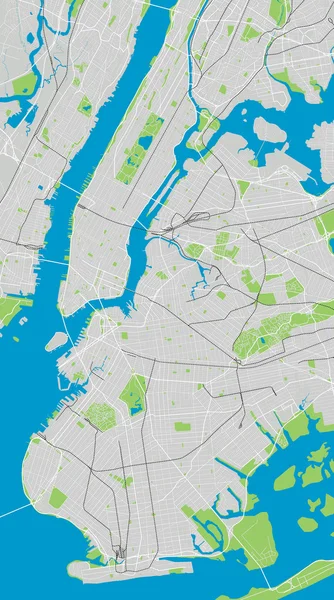
Blue New York city area vector background map, streets and water cartography illustration. Widescreen proportion, digital flat design streetmap.
Blue New York City Area Vector Background Map Streets Water — Stock Vector
Highly detailed Monaco map with borders isolated on background
Highly Detailed Monaco Map Borders Isolated Background — Stock Vector
Country Shape Illustration of Sudan
Country Shape Illustration of Sudan — Stock Vector
Urban vector city map of Alkmaar, The Netherlands
Urban vector city map of Alkmaar, The Netherlands — Stock Vector
Bas-Saint-Laurent Administrative region (Canada, Quebec Province, North America) map vector illustration, scribble sketch Bas Saint Laurent map
Bas Saint Laurent Administrative Region Canada Quebec Province North America — Stock Vector
Langeland island (Kingdom of Denmark) map vector illustration, scribble sketch Langeland map
Langeland Island Kingdom Denmark Map Vector Illustration Scribble Sketch Langeland — Stock Vector
Lorain County, Ohio State (U.S. county, United States of America, USA, U.S., US) map vector illustration, scribble sketch Lorain map
Lorain County Ohio State County United States America Usa Map — Stock Vector
Scottsdale City ( United States cities, United States of America, usa city) map vector illustration, scribble sketch City of Scottsdale map
Scottsdale City ( United States cities, United States of America, usa city) map vector illustration, scribble sketch City of Scottsdale map — Stock Vector
Ajloun governorate map, administrative division of Jordan.
Ajloun Governorate Map Administrative Division Jordan — Stock Vector
Illustrated Country Shape of Dominican Republic
Illustrated Country Shape of Dominican Republic — Stock Vector

Related vector searches

New York Map Vector: Stunning and Accurate Visuals for Your Project

If you're looking for high-quality vector images of New York maps, you've come to the right place. Our collection features a vast selection of stunning and accurate visuals that can be used for a wide range of purposes. Whether you're designing a website, creating a brochure, or working on a presentation, our New York map vector images can help you convey your message in a visually appealing and professional way.

Types of New York Map Vector Images Available

Our collection includes various types of New York map vector images, from simple street maps to detailed city plans. We have everything you need to create eye-catching visuals that can help you communicate your message effectively. Some of the types of New York map vector images available include:

  • City maps
  • Borough maps
  • Neighborhood maps
  • Subway maps
  • Tourist maps

Each type of map is available in different colors and styles, so you can find the perfect match for your project.

Where can New York Map Vector Images be Used?

Our New York map vector images can be used in a variety of projects, including:

  • Website design
  • Brochure design
  • Presentation design
  • Infographics
  • Advertising materials
  • Posters

The possibilities are endless when it comes to using our vector images. Let your creativity flow and create stunning visuals that will captivate your audience.

The Advantages of Using New York Map Vector Images

Choosing the right visual for your project can be challenging, but our New York map vector images offer several advantages:

  • High-quality visuals: Our images are created with precision and accuracy to ensure they are of the highest quality.
  • Customizable: Our vector images can be easily customized to match your project's color scheme and style.
  • Scalable: Our vector images can be scaled to any size without losing their quality, making them ideal for large-format printing.
  • Easy to download and use: Our images are available in JPG, AI, and EPS formats, making them easy to download and use in a variety of software applications.

Choosing our New York map vector images will not only enhance the visual appeal of your project but also add a professional touch that will impress your audience.

How to Use New York Map Vector Images Effectively

When using New York map vector images, it's essential to keep in mind some best practices:

  • Choose the right map for the purpose: Make sure the map you choose matches your project's purpose and message.
  • Customize the map: Customize the map's colors and style to match your project's theme.
  • Use high-resolution images: Make sure the images you use are of high resolution to avoid pixelation.
  • Keep it simple: Don't overcrowd your project with too many visuals. Use maps strategically to enhance the message.

Following these best practices will ensure that your project is visually appealing, professional, and effective in communicating your message.

Conclusion

Our collection of New York map vector images offers an excellent solution for anyone looking to enhance their project's visual appeal and professionalism. With a wide variety of maps available in different colors and styles, you're sure to find the perfect match for your project's needs. Furthermore, our images are of the highest quality, customizable, scalable, and easy to download and use. So why wait? Browse our collection today and start creating stunning and effective visuals for your project.