Physical map Stock Vector Images

100,000 Physical map vector art & graphics are available under a royalty-free license

  • Best Match
  • Fresh
  • Popular
1-100 of 100,000
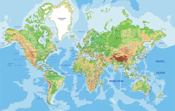
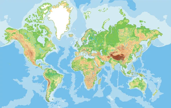
World map with labeling.
World map with labeling. — Stock Vector
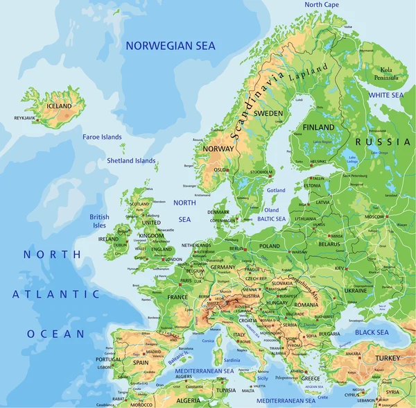
Europe physical map with labeling.
Europe physical map with labeling. — Stock Vector
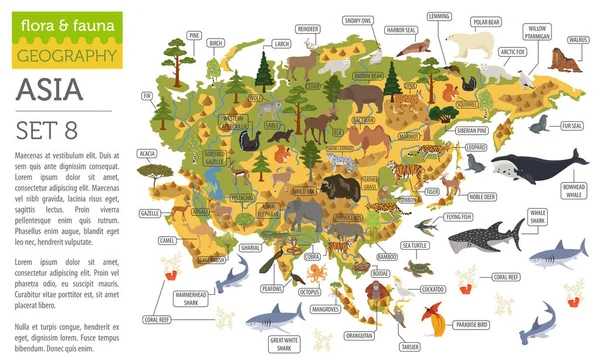
Flat Asian flora and fauna map constructor elements. Animals, bi
Flat Asian flora and fauna map constructor elements. Animals, bi — Stock Vector
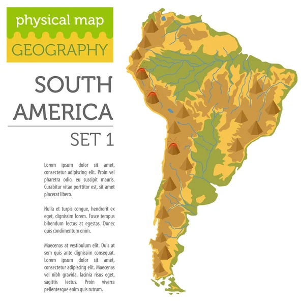
South America physical map elements. Build your own geography in
South America physical map elements. Build your own geography in — Stock Vector
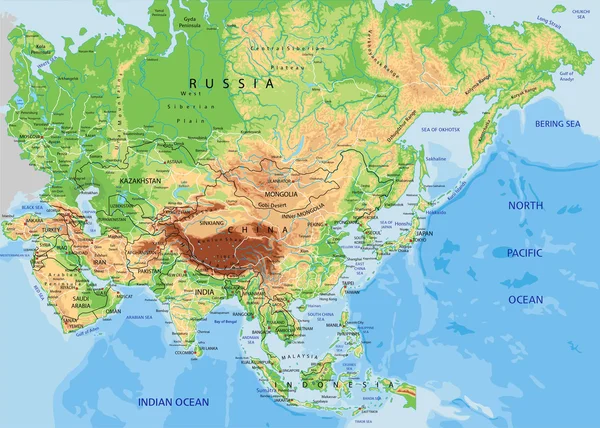
Asia physical map with labeling
Asia physical map with labeling — Stock Vector
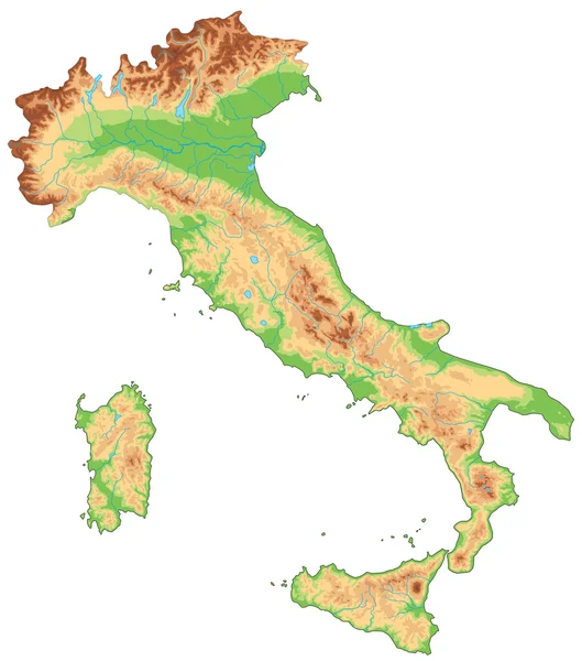
Italy physical map.
Italy physical map. — Stock Vector
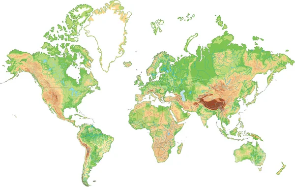
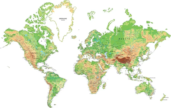
Highly detailed World map.
Highly detailed World map. — Stock Vector
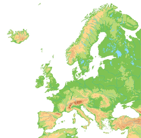
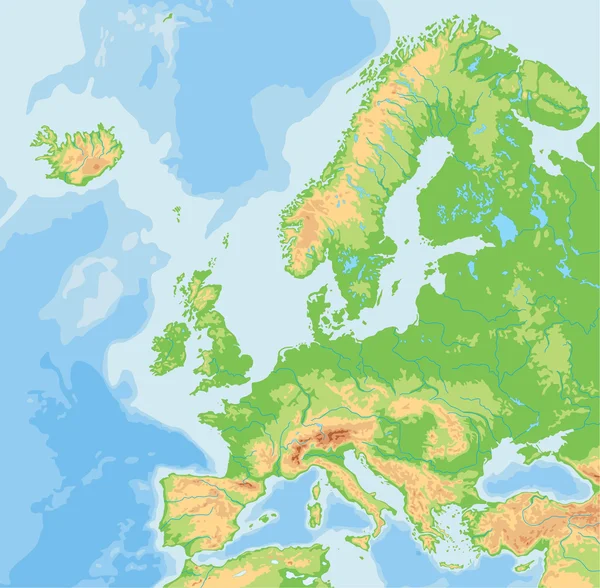
Europe physical map.
Europe physical map. — Stock Vector
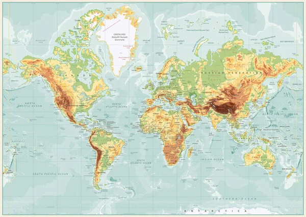
Physical World Map Retro Colors with labeling
Physical World Map Retro Colors with labeling — Stock Vector
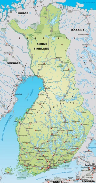
Map of Finland with neighboring countries
Map of Finland with neighboring countries — Stock Vector
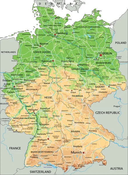
Germany physical map with labeling.
Germany physical map with labeling. — Stock Vector
Europe physical map.
Europe physical map. — Stock Vector
United States of America physical map.
United States of America physical map. — Stock Vector
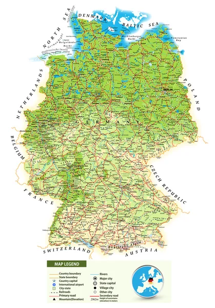
Large detailed physical map of Germany
Large detailed physical map of Germany — Stock Vector
World map with labeling.
World map with labeling. — Stock Vector
Highly detailed World map.
Highly detailed World map. — Stock Vector
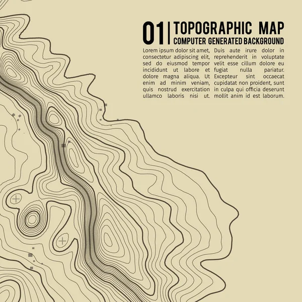
Map line of topography. Vector abstract topographic map concept with space for your copy.
Map Line Topography Vector Abstract Topographic Map Concept Space Your — Stock Vector
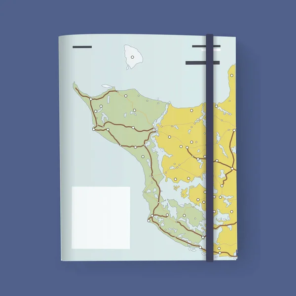
Document Folder with Map
Document Folder with Map — Stock Vector
Windrose 1
Windrose 1 — Stock Vector
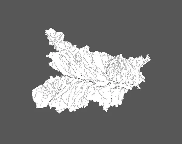
India states - map of Bihar. Hand made. Rivers and lakes are shown. Please look at my other images of cartographic series - they are all very detailed and carefully drawn by hand WITH RIVERS AND LAKES.
India States Map Bihar Hand Made Rivers Lakes Shown Please — Stock Vector
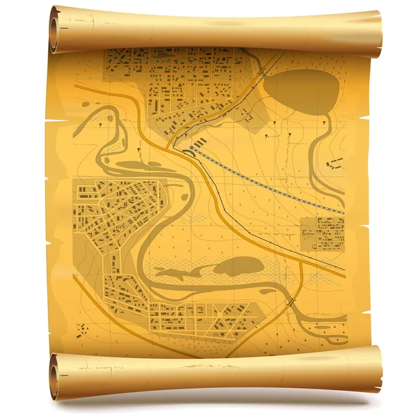
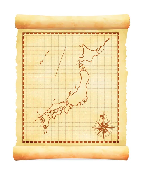
Vector Paper Scroll with Map
Vector Paper Scroll with Map — Stock Vector
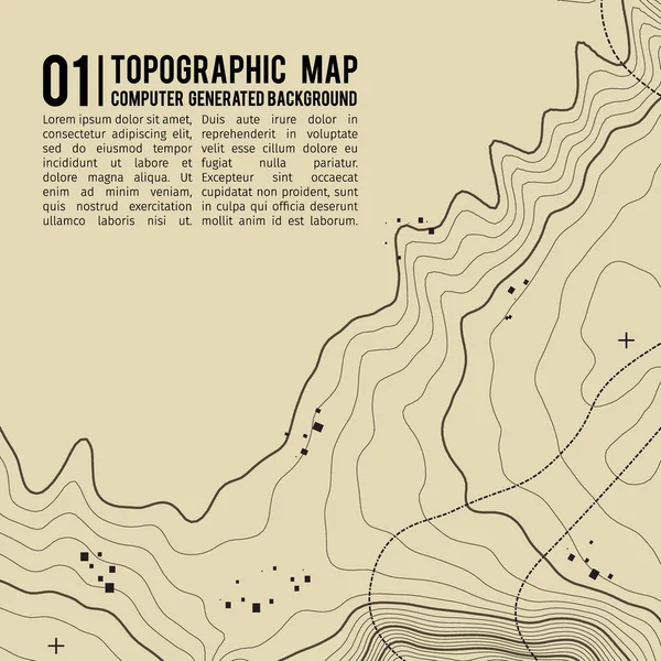
Topographic map background with space for copy . Line topography map contour background , geographic grid abstract vector illustration . Mountain hiking trail over terrain .
Topographic map background with space for copy . Line topography map contour background , geographic grid abstract vector illustration . Mountain hiking trail over terrain . — Stock Vector
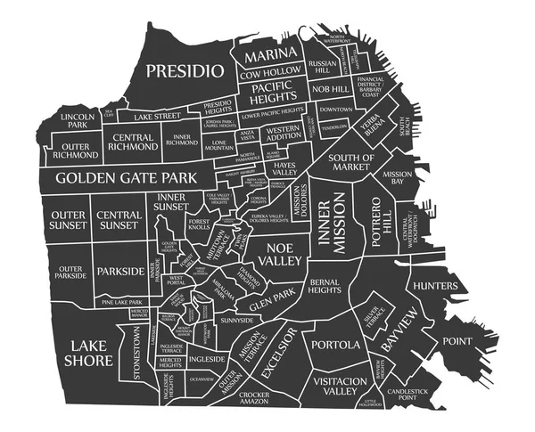
San Francisco city map USA labelled black illustration
San Francisco city map USA labelled black illustration — Stock Vector
San Francisco city map USA labelled black illustration
San Francisco city map USA labelled black illustration — Stock Vector
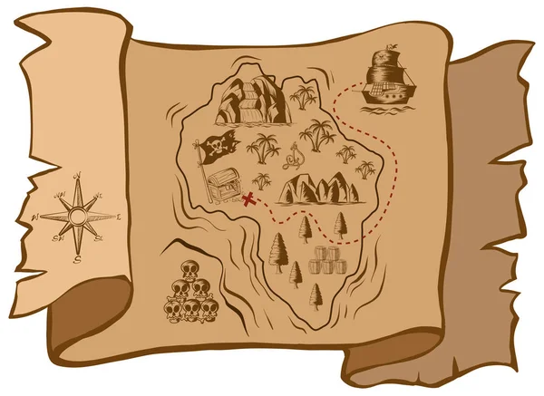
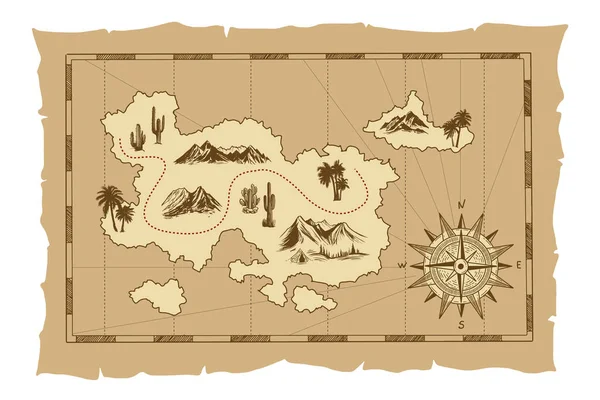
Treasure map on old paper
Treasure map on old paper — Stock Vector
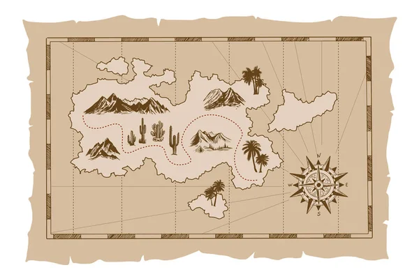
Pirate old map hand drawn Illustration.
Pirate Old Map Hand Drawn Illustration — Stock Vector
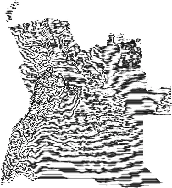
Topographic map of Angola with black contour lines
Topographic Map Angola Black Contour Lines — Stock Vector
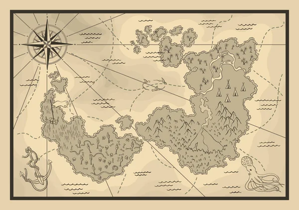
Cartoon island map template for next level game - adventures, treasure hunt. Pirate map with octopus and sharks. Pirate grunge map with windrose. Hand drawn vector illustration, vintage background.
Cartoon Island Map Template Next Level Game Adventures Treasure Hunt — Stock Vector
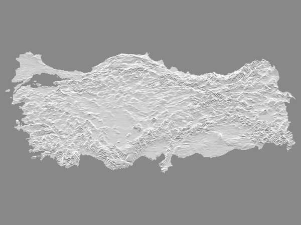
White on Gray Relief Map of European Country of Turkey
White Gray Relief Map European Country Turkey — Stock Vector
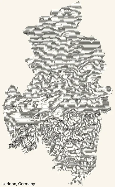
Topographic relief map of the city of ISERLOHN, GERMANY with black contour lines on vintage beige background
Topographic Relief Map City Iserlohn Germany Black Contour Lines Vintage — Stock Vector
Canarias Spain map black inverted silhouette illustration
Canarias Spain map black inverted silhouette illustration — Stock Vector
Map
Map — Stock Vector
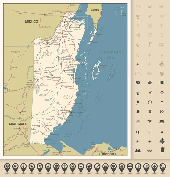
Belize Road Map and icons. Detailed Political map of Belize with the capital Belmopan, national borders, roads, most important cities, rivers and lakes in vintage colors and navigation icons. Vector illustration with english labeling and scale.
Belize Road Map Icons Detailed Political Map Belize Capital Belmopan — Stock Vector
North America continent ancient map with mountain ranges, rivers and lakes names, mythological sea beasts, medieval caravel ship vector. United States of America territory map on aged, old paper
North America Continent Ancient Map Mountain Ranges Rivers Lakes Names — Stock Vector
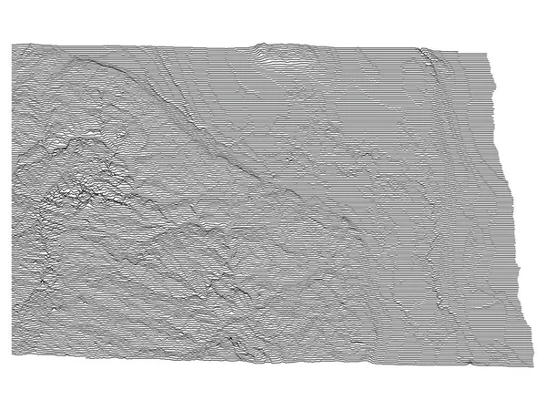
Topographic Relief Peaks and Valleys Map of US Federal State of North Dakota
Topographic Relief Peaks Valleys Map Federal State North Dakota — Stock Vector
Pirate old map hand drawn Illustration.
Pirate Old Map Hand Drawn Illustration — Stock Vector
Map of trip on the forests.
Map of trip on the forests. — Stock Vector
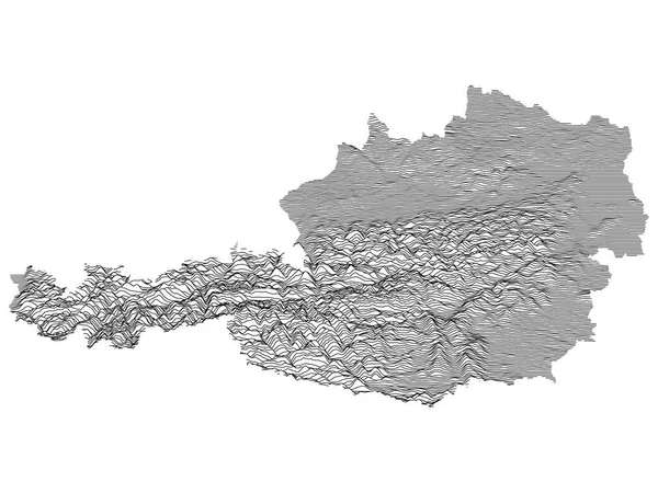
Gray Topographic Relief Map of European Country of Austria
Gray Topographic Relief Map European Country Austria — Stock Vector
Topographic map background with space for copy . Line topography map contour background , geographic grid abstract vector illustration . Mountain hiking trail over terrain .
Topographic map background with space for copy . Line topography map contour background , geographic grid abstract vector illustration . Mountain hiking trail over terrain . — Stock Vector
Topographic map background. Grid map. Contour. Vector illustration.
Topographic map background. Grid map. Contour. Vector illustration. — Stock Vector
Abstract, island, map, pattern, topographic, heights lines, deep lines, ocean
Abstract Island Map Pattern Topographic Heights Lines Deep Lines Ocean — Stock Vector
Topographic map background. Geographic abstract patterns grid. The topo contour map with stylized height. Mountain trail terrain, terrain path. Old yellow Background. Vector illustration.
Topographic Map Background Geographic Abstract Patterns Grid Topo Contour Map — Stock Vector
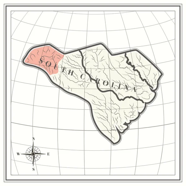
Map of south carolina state
Map South Carolina State — Stock Vector
Topographic Relief Peaks and Valleys Map of US Federal State of Pennsylvania
Topographic Relief Peaks Valleys Map Federal State Pennsylvania — Stock Vector
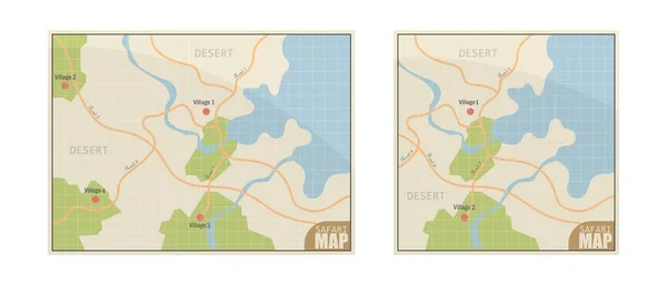
Safari map vector illustration isolated on white background
Safari Map Vector Illustration Isolated White Background — Stock Vector
Generic map
Generic map — Stock Vector
Map vector illustration isolated on white background
Map Vector Illustration Isolated White Background — Stock Vector
Global Earth vector Map on background. Texture, Island or Surface and Height symbol. Stock design element
Global Earth vector Map on background. Texture, Island or Surface and Height symbol. Stock design element — Stock Vector
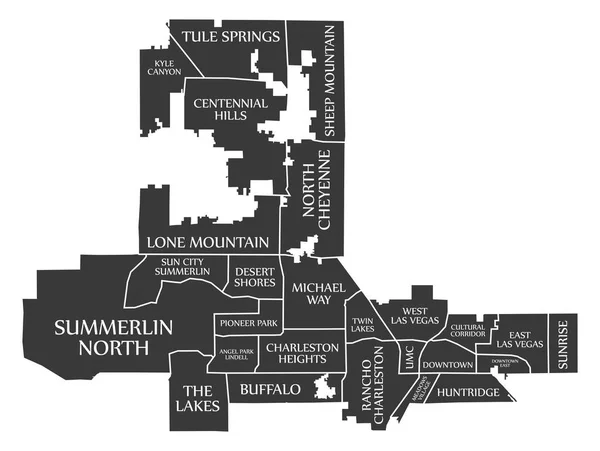
Las Vegas Nevada city map USA labelled black illustration
Las Vegas Nevada City Map Usa Labelled Black Illustration — Stock Vector
Mamoudzou Mayotte City Map in Retro Style. Outline Map.
Mamoudzou Mayotte City Map in Retro Style. Outline Map. — Stock Vector
Black simple detailed street roads map on vintage beige background of the quarter Palma-Palmilla district of Malaga, Spain
Black Simple Detailed Street Roads Map Vintage Beige Background Quarter — Stock Vector
Tourist map - for camping and hiking. Vector illustration in flat design
Tourist map - for camping and hiking. Vector illustration in flat design — Stock Vector
High Quality map of Delta is a region of Nigeria, with borders of the districts
High Quality Map Delta Region Nigeria Borders Districts — Stock Vector
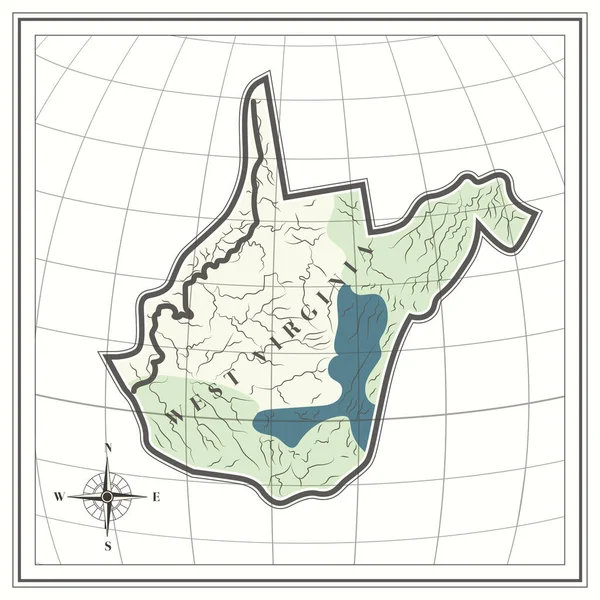
Map of west virginia state
Map West Virginia State — Stock Vector
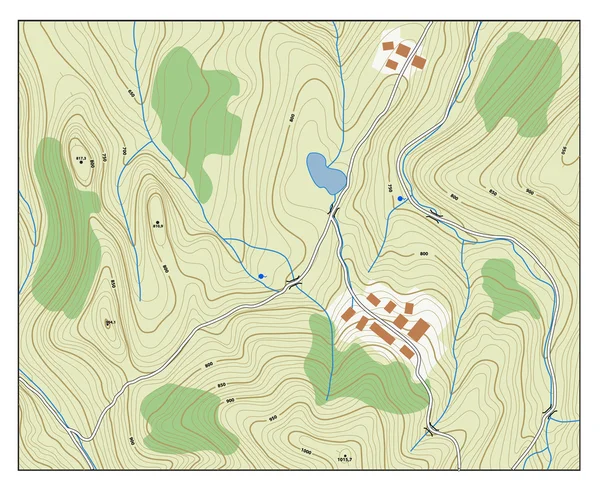
Topographic map with contour lines
Topographic map with contour lines — Stock Vector
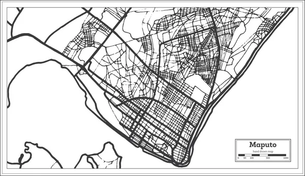
Maputo Mozambique City Map in Retro Style. Outline Map.
Maputo Mozambique City Map in Retro Style. Outline Map. — Stock Vector
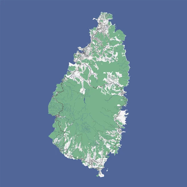
Saint Lucia map, Caribbean island
Saint Lucia Map Caribbean Island — Stock Vector
Stylized old nautical card template. Vector illustration
Stylized old nautical card template. Vector illustration — Stock Vector
Abstract topographic map with lake and mountains
Abstract Topographic Map Lake Mountains — Stock Vector
Thick and thin black lines on a ecru background. Abstract Topographic Contour Map Template. EPS10 Vector illustration
Thick Thin Black Lines Ecru Background Abstract Topographic Contour Map — Stock Vector
Topographic negative relief map of the Federal State of Pennsylvania, USA with white contour lines on dark gray background
Topographic Negative Relief Map Federal State Pennsylvania Usa White Contour — Stock Vector
Topographic map background. Grid map. Contour. Vector illustration.
Topographic map background. Grid map. Contour. Vector illustration. — Stock Vector
Topographic map background with space for copy . Line topography map contour background , geographic grid abstract vector illustration . Mountain hiking trail over terrain .
Topographic map background with space for copy . Line topography map contour background , geographic grid abstract vector illustration . Mountain hiking trail over terrain . — Stock Vector
Topographic relief map of the Canadian territory of NUNAVUT, CANADA with black contour lines on beige background
Topographic Relief Map Canadian Territory Nunavut Canada Black Contour Lines — Stock Vector
Grey Topographic 3D Map of Chinese Province of Shandong
Grey Topographic Map Chinese Province Shandong — Stock Vector
Map of wisconsin state
Map Wisconsin State — Stock Vector
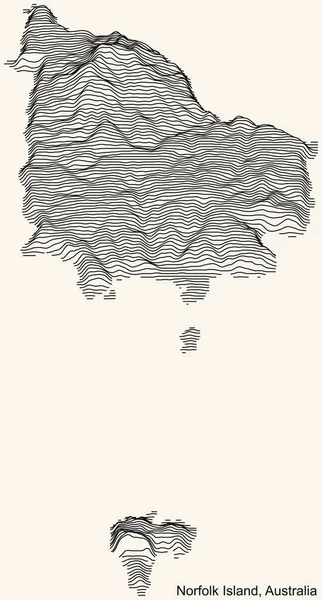
Topographic relief map of the Australian external territory of NORFOLK ISLAND, AUSTRALIA with black contour lines on vintage beige background
Topographic Relief Map Australian External Territory Norfolk Island Australia Black — Stock Vector
High detailed Turkey road map with labeling.
High Detailed Turkey Road Map Labeling — Stock Vector
Polygonal 2D Mesh High Detail Vector Map of Fuerteventura Island Abstractions
Polygonal 2D Mesh High Detail Vector Map of Fuerteventura Island Abstractions — Stock Vector
Topographic map background. Grid map. Contour. Vector illustration.
Topographic map background. Grid map. Contour. Vector illustration. — Stock Vector
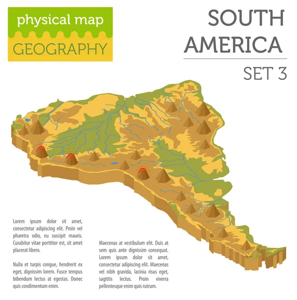
Isometric 3d South America physical map elements. Build your own
Isometric 3d South America physical map elements. Build your own — Stock Vector
Game map
Game map — Stock Vector
Pirates treasure map hand drawn cartoon black ink isolated on white , palms at uninhabited island cross sign way search gold chest , rose of wind compass north at seaor ocean , vector illustration
Pirates Treasure Map Hand Drawn Cartoon Black Ink Isolated White — Stock Vector
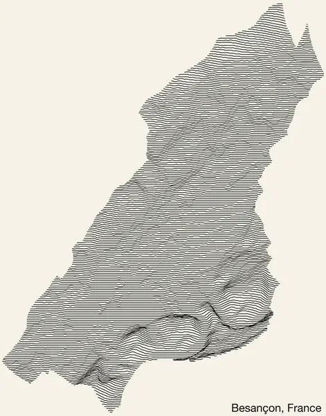
Topographic relief map of the city of BESANCON, FRANCE with solid contour lines and name tag on vintage background
Topographic Relief Map City Besancon France Solid Contour Lines Name — Stock Vector
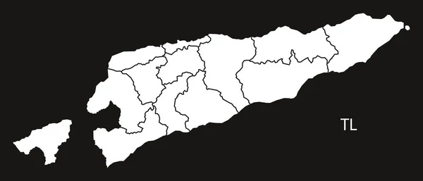
East Timor districts Map black and white
East Timor districts Map black and white — Stock Vector
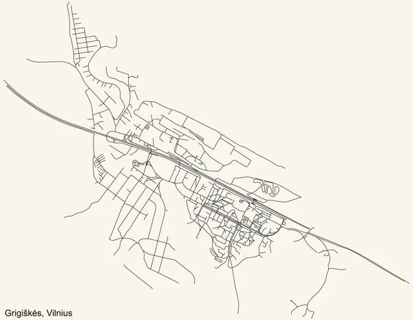
Black simple detailed street roads map on vintage beige background of the quarter Grigiks eldership (Grigiki seninija) of Vilnius, Lithuania
Black Simple Detailed Street Roads Map Vintage Beige Background Quarter — Stock Vector
Old vintage paper textured map of Georgia Country - Vector illustration
Old Vintage Paper Textured Map Georgia Country Vector Illustration — Stock Vector
Black and White 3D Contour Topography Map of Asian Country of Pakistan
Black White Contour Topography Map Asian Country Pakistan — Stock Vector
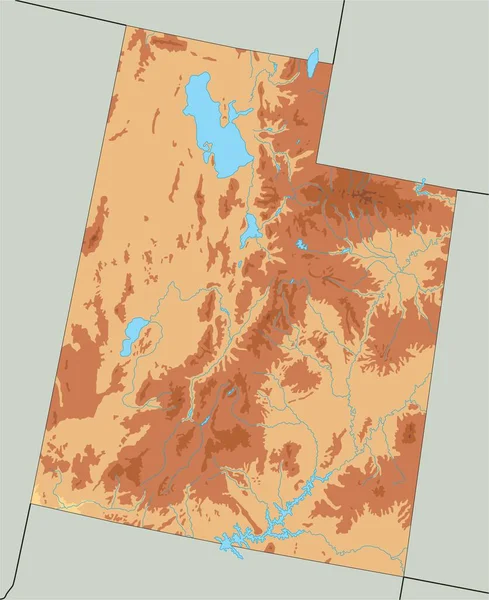
High detailed Utah physical map.
High Detailed Utah Physical Map — Stock Vector
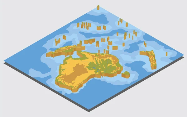
Isometric 3d Australia and Oceania physical map elements. Build
Isometric 3d Australia and Oceania physical map elements. Build — Stock Vector
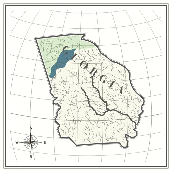
Map of georgia state
Map Georgia State — Stock Vector
Cartoon island map template for next level game. Pirate map with old fantasy creatures, treasure island. Hand drawn vector illustration, vintage background
Cartoon island map template for next level game. Pirate map with old fantasy creatures, treasure island. Hand drawn vector illustration, vintage background — Stock Vector
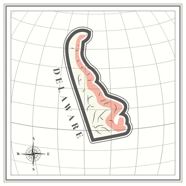
Map of delaware state
Map Delaware State — Stock Vector
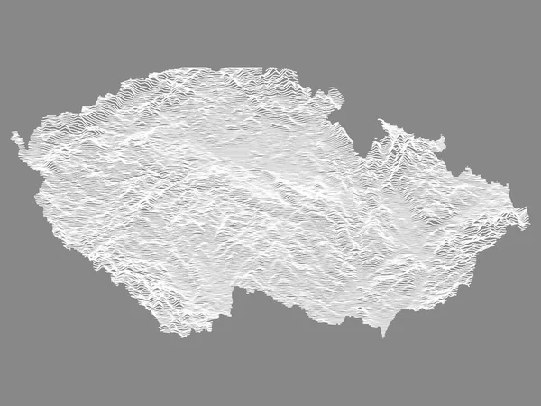
White Topographic Relief Map of European Country of Czech Republic
White Topographic Relief Map European Country Czech Republic — Stock Vector
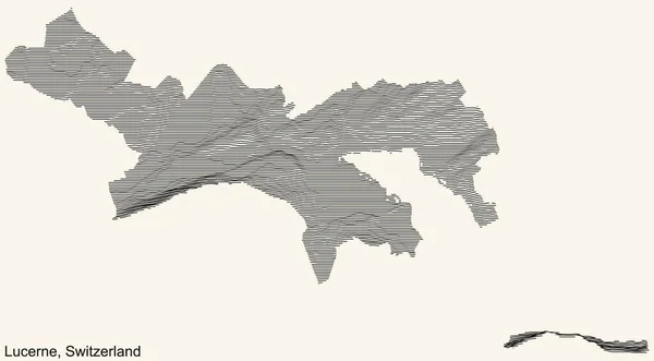
Topographic relief map of the city of Lucerne-Luzern, Switzerland with black contour lines on vintage beige background
Topographic Relief Map City Lucerne Luzern Switzerland Black Contour Lines — Stock Vector
Two versions of a folded map of Illinois with the flag of the country of Illinois and with the red color highlighted.
Two Versions Folded Map Illinois Flag Country Illinois Red Color — Stock Vector
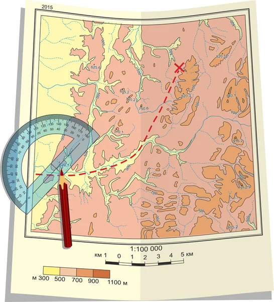
Map, protractor and pencil.
Map, protractor and pencil. — Stock Vector
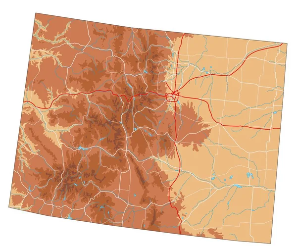
High detailed Colorado physical map.
High Detailed Colorado Physical Map — Stock Vector
Detailed navigation black lines urban street roads map of the RIES DISTRICT of the Austrian regional capital city of Graz, Austria on vintage beige background
Detailed Navigation Black Lines Urban Street Roads Map Ries District — Stock Vector
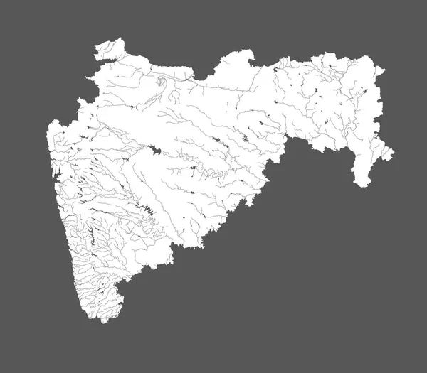
India states - map of Maharashtra. Hand made. Rivers and lakes are shown. Please look at my other images of cartographic series - they are all very detailed and carefully drawn by hand WITH RIVERS AND LAKES.
India States Map Maharashtra Hand Made Rivers Lakes Shown Please — Stock Vector
Map of mainland Africa.African safari single icon in colour style vector symbol stock illustration web.
Map of mainland Africa.African safari single icon in colour style vector symbol stock illustration web. — Stock Vector
Topographic map background concept with space for your copy. Topography lines art contour , mountain hiking trail , Shape vector design. Computer generated .
Topographic map background concept with space for your copy. Topography lines art contour , mountain hiking trail , Shape vector design. Computer generated   . — Stock Vector
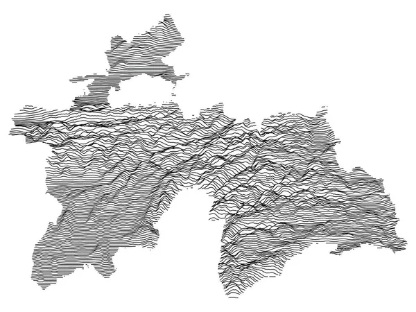
Black and White 3D Contour Topography Map of the Asian Country of Tajikistan
Black White Contour Topography Map Asian Country Tajikistan — Stock Vector
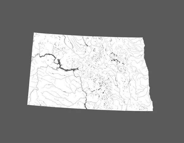
U.S. states - map of North Dakota. Hand made. Rivers and lakes are shown. Please look at my other images of cartographic series - they are all very detailed and carefully drawn by hand WITH RIVERS AND LAKES.
States Map North Dakota Hand Made Rivers Lakes Shown Please — Stock Vector
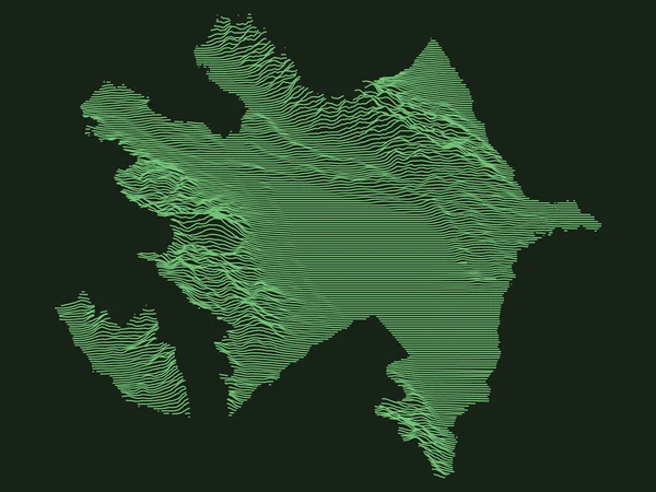
Tactical Military Emerald 3D Topography Map of European Country of Azerbaijan
Tactical Military Emerald Topography Map European Country Azerbaijan — Stock Vector
Old map of the city of the state of israel
Old Map City State Israel — Stock Vector
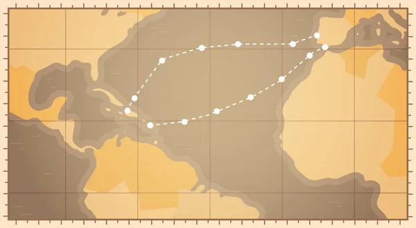
Retro World Map With Columbus Route Happy Colombo Day National Usa Holiday Concept
Retro World Map With Columbus Route Happy Colombo Day National Usa Holiday Concept — Stock Vector
Old vintage Japan map vector illustration
Old Vintage Japan Map Vector Illustration — Stock Vector
Vector color physical map of the Republic of Qatar. The territory of an Asian state with roads, borders of regions and major cities. Geography of the country
Vector Color Physical Map Republic Qatar Territory Asian State Roads — Stock Vector
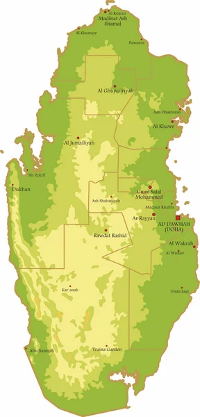
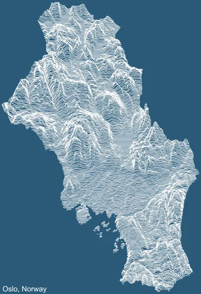
Topographic technical drawing relief map of the city of Oslo, Norway with white contour lines on blue background
Topographic Technical Drawing Relief Map City Oslo Norway White Contour — Stock Vector

Physical Map Vector Images for All Your Needs

When it comes to creating effective visual content, using the right images is crucial. If you are looking for physical map vector images, look no further. Our collection is tailored to meet your needs, whether you are creating maps for educational purposes or designing a website for your business.

Types of Vector Images Available

Our collection includes various types of physical map vector images that cater to various industries. We offer topographic maps, political maps, and relief maps, among others. Our files are compatible with all major design software and are available in JPG, AI, and EPS formats.

Each image is meticulously crafted to ensure maximum visual impact. For instance, our topographic maps highlight the physical features of an area, such as mountains, valleys, and rivers. They also show the elevation of the terrain.

Where to Use Our Vector Images

Our physical map vector images are versatile and can be used in a variety of projects. Schools and universities can use them in class teachings or create educational materials, while designers can create stunning websites, brochures, and posters. Businesses can also use our images in presentations, reports, and marketing materials.

The images are also suitable for print and digital media. They are high-quality and scalable, which is crucial when working with vector images.

Picking the Right Image for Your Project

When selecting a physical map vector image, consider the purpose of your project. For instance, if you are creating a topographic map for an outdoor excursion company, use a map that highlights the terrain's ruggedness and elevation. On the other hand, if you are designing an educational poster for a high school geography class, use a political map that shows the country's different regions and boundaries.

Another factor to consider is the color scheme. Ensure that the colors used in the map match your project's overall design. For instance, use bold colors when creating a poster for a summer camp but use muted tones for a more formal project.

Conclusion

Using physical map vector images is an excellent way of creating effective visual content. Our collection offers a variety of images that cater to different industries. Whether you are creating educational materials or designing a website, our images are versatile enough to meet your needs. Remember to select the right image based on the project's purpose and overall design. With our images, you can create stunning visuals that capture your audience's attention.