Toronto map Stock Vector Images

100,000 Toronto map vector art & graphics are available under a royalty-free license

  • Best Match
  • Fresh
  • Popular
1-100 of 100,000
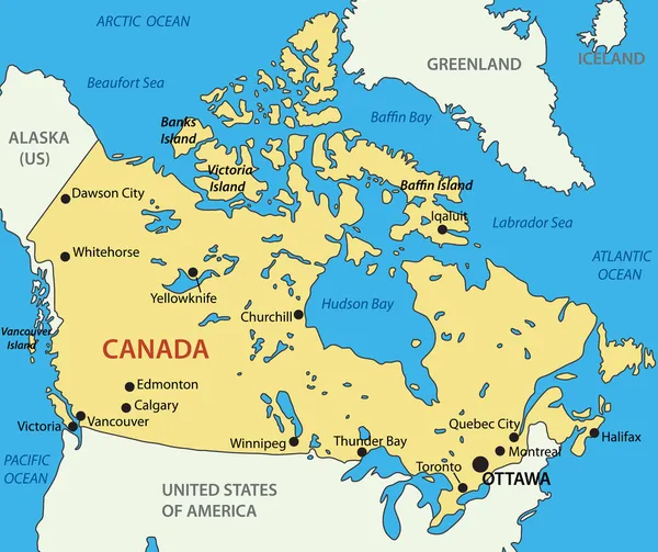
Canada - vector map
Canada - vector map — Stock Vector
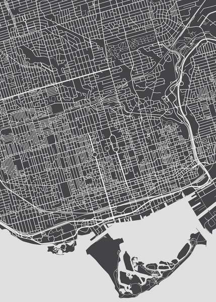
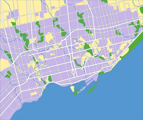
Toronto city plan, detailed vector map
Toronto city plan, detailed vector map — Stock Vector
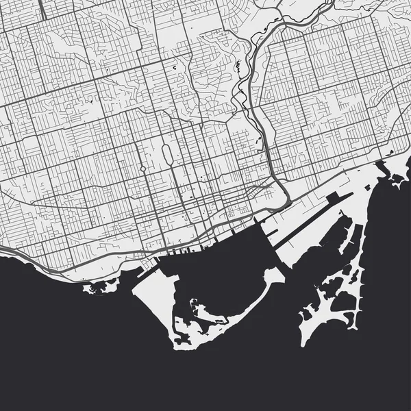
Vector map of Toronto. Street map poster illustration. Toronto map art.
Vector Map Toronto Street Map Poster Illustration Toronto Map Art — Stock Vector
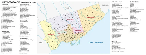
Neighborhood map of the Canadian city of Toronto
Neighborhood map of the Canadian city of Toronto — Stock Vector
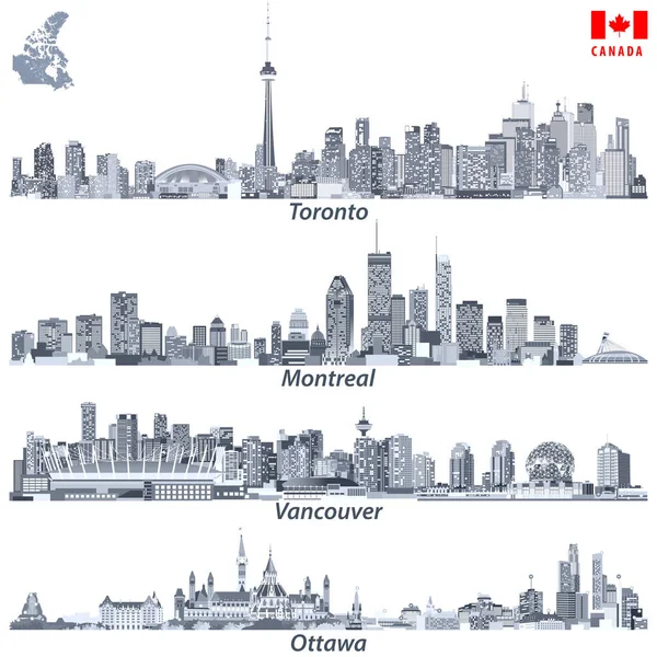
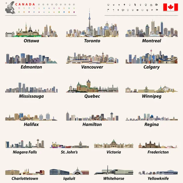
Vector illustrations of Canadian cities Toronto, Montreal, Vancouver and Ottawa skylines in tints of blue color palette with map and flag of Canada
Vector illustrations of Canadian cities Toronto, Montreal, Vancouver and Ottawa skylines in tints of blue color palette with map and flag of Canada — Stock Vector
Toronto
Toronto — Stock Vector
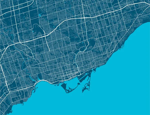
Toronto map. Detailed vector map of Toronto city administrative area. Cityscape poster metropolitan aria view.
Toronto Map Detailed Vector Map Toronto City Administrative Area Cityscape — Stock Vector
Toronto map. Detailed map of Toronto city administrative area. Airview cityscape panorama. Royalty free vector illustration.
Toronto Map Detailed Map Toronto City Administrative Area Airview Cityscape — Stock Vector
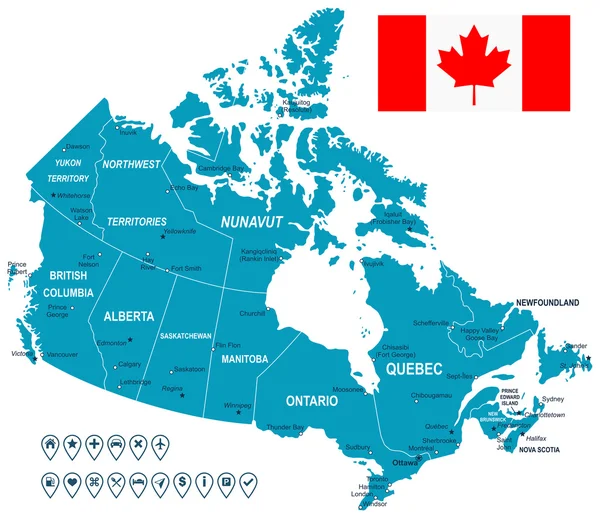
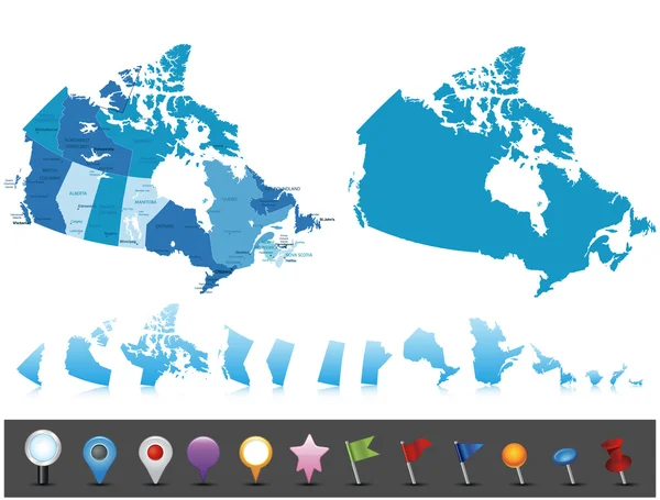
Canada map, flag and navigation labels - illustration.
Canada map, flag and navigation labels - illustration. — Stock Vector
Canada largest cities and all states capitals skylines
Canada largest cities and all states capitals skylines — Stock Vector
Canada - highly detailed map.
Canada - highly detailed map. — Stock Vector
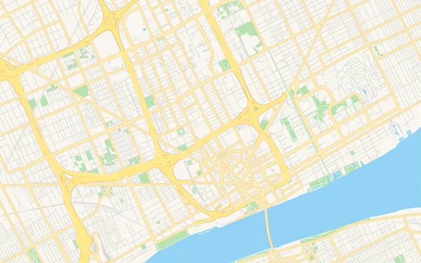
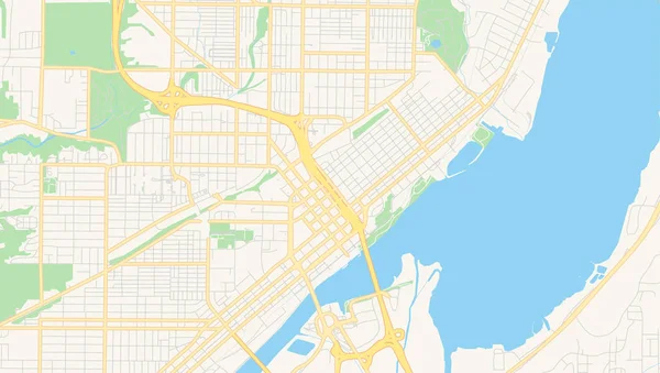
Empty vector map of Detroit, Michigan, USA
Empty vector map of Detroit, Michigan, USA — Stock Vector
Illustrated Country Shape of Canada
Illustrated Country Shape of Canada — Stock Vector
Al Shamal municipality, administrative division of the country of Qatar. Vector illustration.
Shamal Municipality Administrative Division Country Qatar Vector Illustration — Stock Vector
Qatif City (Kingdom of Saudi Arabia, Ash-Sharqiyyah or Eastern Province) map vector illustration, scribble sketch City of Al-Qatif map
Qatif City Kingdom Saudi Arabia Ash Sharqiyyah Eastern Province Map — Stock Vector
Chattanooga City (United States cities, United States of America, usa city) map vector illustration, scribble sketch City of Chattanooga map
Chattanooga City (United States cities, United States of America, usa city) map vector illustration, scribble sketch City of Chattanooga map — Stock Vector
Massachusetts map vector illustration, scribble sketch Massachusetts map
Massachusetts Map Vector Illustration Scribble Sketch Massachusetts Map — Stock Vector
Russeifa City (Hashemite Kingdom of Jordan, Zarqa Governorate) map vector illustration, scribble sketch City of Russiefa map
Russeifa City Hashemite Kingdom Jordan Zarqa Governorate Map Vector Illustration — Stock Vector
Light grey and white Miami city area vector background map, streets and water cartography illustration. Widescreen proportion, digital flat design streetmap.
Light Grey White Miami City Area Vector Background Map Streets — Stock Vector
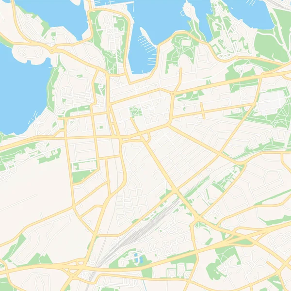
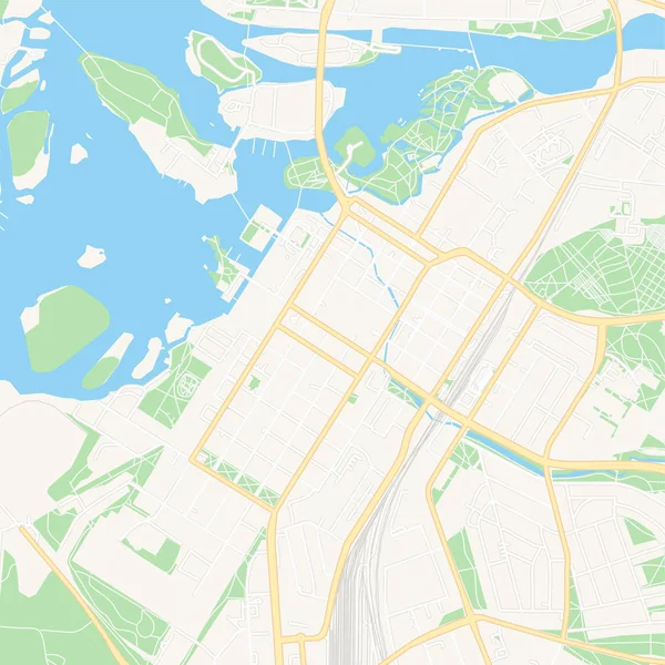
Lappeenranta, Finland printable map
Lappeenranta, Finland printable map — Stock Vector
Illustrated Country Shape of Guinea Bissau
Illustrated Country Shape of Guinea Bissau — Stock Vector
Outline Sketch Map of Djibouti With States and Cities
Outline Sketch Map Djibouti States Cities — Stock Vector
Highly detailed Monaco map with borders isolated on background
Highly Detailed Monaco Map Borders Isolated Background — Stock Vector
Map navigation to own house.View from above the map buildings. Detailed view of city from above. City top view. Abstract
Map Navigation Own House View Map Buildings Detailed View City — Stock Vector
Empty vector map of San Antonio, Texas, USA
Empty vector map of San Antonio, Texas, USA — Stock Vector
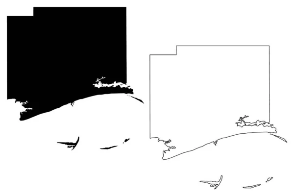
Harrison County, Mississippi (U.S. county, United States of America, USA, U.S., US) map vector illustration, scribble sketch Harrison map
Harrison County Mississippi County United States America Usa Map Vector — Stock Vector
Kuopio, Finland printable map
Kuopio, Finland printable map — Stock Vector
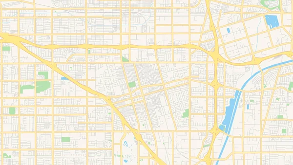
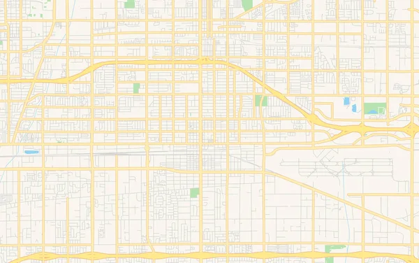
Empty vector map of Anaheim, California, USA
Empty vector map of Anaheim, California, USA — Stock Vector
Escarcega municipality (Free and Sovereign State of Campeche, Mexico, United Mexican States) map vector illustration, scribble sketch map
Escarcega Municipality Free Sovereign State Campeche Mexico United Mexican States — Stock Vector
Map city. Vector illustration
Map City Vector Illustration — Stock Vector
Canada map Silk
Canada map Silk — Stock Vector
Orleans County, State of Vermont (U.S. county, United States of America, USA, U.S., US) map vector illustration, scribble sketch Orleans map
Orleans County State Vermont County United States America Usa Map — Stock Vector
Stencil map of Indiana Simple and minimal transparent map of Indiana Black rectangle with cut
Stencil map of Indiana Simple and minimal transparent map of Indiana Black rectangle with cut — Stock Vector
City map
City map — Stock Vector
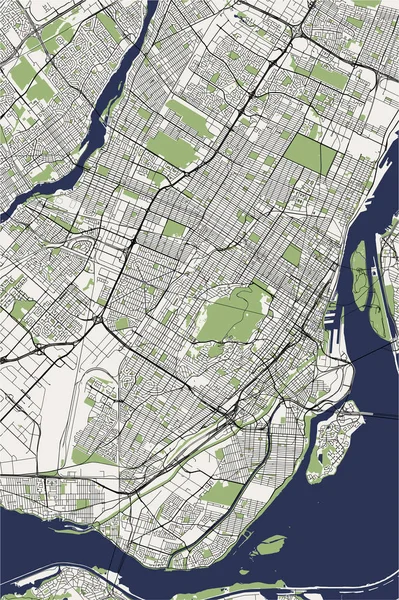
Map of the city of Montreal , Canada
Map of the city of Montreal , Canada — Stock Vector
Blue Nile State map, administrative division of Sudan. Vector illustration.
Blue Nile State Map Administrative Division Sudan Vector Illustration — Stock Vector
Empty vector map of Dallas, Texas, USA
Empty vector map of Dallas, Texas, USA — Stock Vector
Accurate map of Quebec
Accurate map of Quebec — Stock Vector
Accurate map of Borkum
Accurate map of Borkum — Stock Vector
Alpoyeca municipality (Free and Sovereign State of Guerrero, Mexico, United Mexican States) map vector illustration, scribble sketch Alpoyeca map
Alpoyeca Municipality Free Sovereign State Guerrero Mexico United Mexican States — Stock Vector
Giles County, Commonwealth of Virginia (U.S. county, United States of America, USA, U.S., US) map vector illustration, scribble sketch Giles map
Giles County Commonwealth Virginia County United States America Usa Map — Stock Vector
Country Shape Illustration of Jamaica
Country Shape Illustration of Jamaica — Stock Vector
Mogadishu City (Federal Republic of Somalia, Banaadir Region) map vector illustration, scribble sketch City of Xamar or Hamar map
Mogadishu City Federal Republic Somalia Banaadir Region Map Vector Illustration — Stock Vector
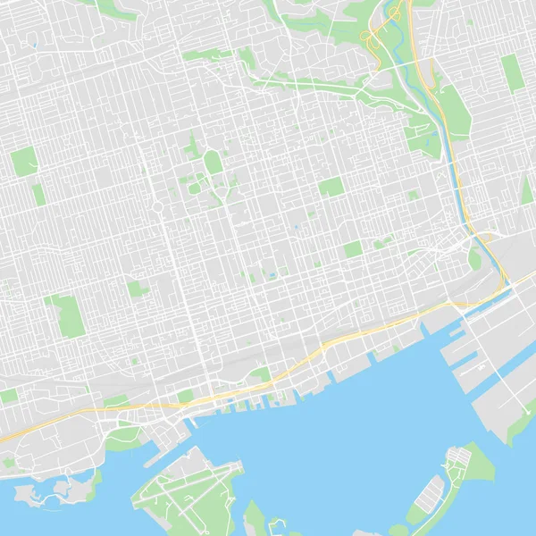
Downtown vector map of Toronto, Canada
Downtown vector map of Toronto, Canada — Stock Vector
Lorain County, Ohio State (U.S. county, United States of America, USA, U.S., US) map vector illustration, scribble sketch Lorain map
Lorain County Ohio State County United States America Usa Map — Stock Vector
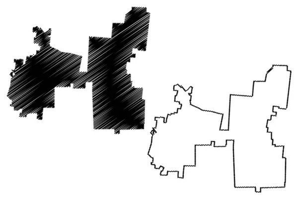
Elk Grove City (United States cities, United States of America, usa city) map vector illustration, scribble sketch City of Elk Grove map
Elk Grove City (United States cities, United States of America, usa city) map vector illustration, scribble sketch City of Elk Grove map — Stock Vector
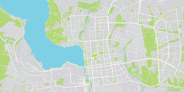
Urban vector city map of izhevsk, Russia
Urban vector city map of izhevsk, Russia — Stock Vector
Juniata County, Commonwealth of Pennsylvania (U.S. county, United States of America, USA, U.S., US) map vector illustration, scribble sketch Juniata map
Juniata County Commonwealth Pennsylvania County United States America Usa Map — Stock Vector
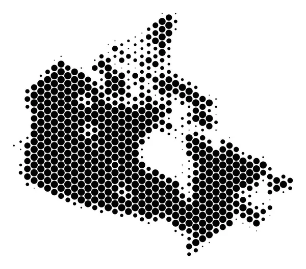
Dot Halftone Canada Map
Dot Halftone Canada Map — Stock Vector
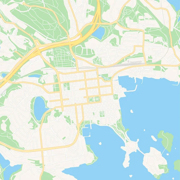
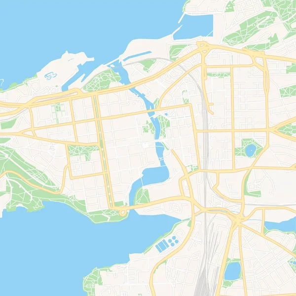
Tampere, Finland printable map
Tampere, Finland printable map — Stock Vector
Map of New York City - SARS Virus Mosaic with Subtracted Space
Map of New York City - SARS Virus Mosaic with Subtracted Space — Stock Vector
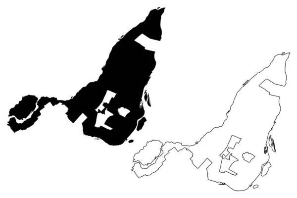
Montreal City (Canada, Quebec Province) map vector illustration, scribble sketch City of Montreal map
Montreal City Canada Quebec Province Map Vector Illustration Scribble Sketch — Stock Vector
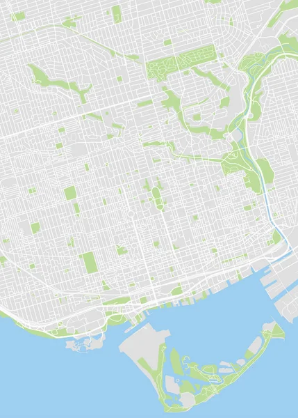
Toronto colored vector map
Toronto colored vector map — Stock Vector
Manassas city County, Commonwealth of Virginia (Independent city, U.S. county, United States of America, USA, U.S., US) map vector illustration, scribble sketch Manassas Junction map
Manassas City County Commonwealth Virginia Independent City County United States — Stock Vector
White flat blank vector administrative map of ALKMAAR, NETHERLANDS with black border lines of its districts
White Flat Blank Vector Administrative Map Alkmaar Netherlands Black Border — Stock Vector
Illustrated Country Shape of Dominican Republic
Illustrated Country Shape of Dominican Republic — Stock Vector
Umm Salal municipality, administrative division of the country of Qatar. Vector illustration.
Umm Salal Municipality Administrative Division Country Qatar Vector Illustration — Stock Vector
Isolated vector Illustration. Black on White background. EPS 10 Illustration
Isolated Vector Illustration Black White Background Eps Illustration — Stock Vector
Egypt map vector outline icon isolated on transparent background, high quality linear Egypt map transparency concept can be used web and mobile
Egypt Map Vector Outline Icon Isolated Transparent Background High Quality — Stock Vector
Muscat Governorate map, administrative division of Oman. Vector illustration.
Muscat Governorate Map Administrative Division Oman Vector Illustration — Stock Vector
Rincon de Romos municipality (Free and Sovereign State of Aguascalientes, Mexico, United Mexican States) map vector illustration, scribble sketch map
Rincon Romos Municipality Free Sovereign State Aguascalientes Mexico United Mexican — Stock Vector
Skyblue and blue Las Vegas city area vector background map, streets and water cartography illustration. Widescreen proportion, digital flat design streetmap.
Skyblue Blue Las Vegas City Area Vector Background Map Streets — Stock Vector
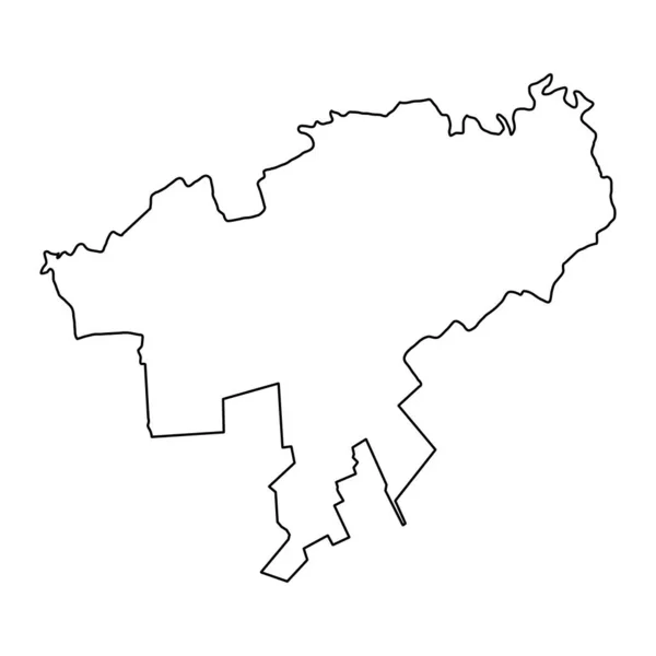
Gagauzia or Gagauz Yeri, officially the Autonomous Territorial Unit of Gagauzia is an autonomous territorial unit of Moldova. Vector illustration.
Gagauzia Gagauz Yeri Officially Autonomous Territorial Unit Gagauzia Autonomous Territorial — Stock Vector
Gray flat blank vector administrative map of the 15TH ARONDISSEMENT (DE VAUGIRARD), PARIS, FRANCE with black border lines of its quarters
Gray Flat Blank Vector Administrative Map 15Th Arondissement Vaugirard Paris — Stock Vector
Accurate map of Ontario
Accurate map of Ontario — Stock Vector
Illustrated Country Shape of Dominican Republic
Illustrated Country Shape of Dominican Republic — Stock Vector
Sao Joao de Meriti city Brazil municipality vector map. Green street map, municipality area, white lines. Urban skyline panorama for tourism.
Sao Joao Meriti City Brazil Municipality Vector Map Green Street — Stock Vector
Cooperation hands people icon in Outline style
Cooperation Hands People Icon Outline Style — Stock Vector
Empty vector map of Peoria, Illinois, USA
Empty vector map of Peoria, Illinois, USA — Stock Vector
Haralson County, Georgia (U.S. county, United States of America,USA, U.S., US) map vector illustration, scribble sketch Haralson map
Haralson County Georgia County United States America Usa Map Vector — Stock Vector
Empty vector map of Ontario, California, USA
Empty vector map of Ontario, California, USA — Stock Vector
Elk Grove City (United States cities, United States of America, usa city) map vector illustration, scribble sketch City of Elk Grove map
Elk Grove City (United States cities, United States of America, usa city) map vector illustration, scribble sketch City of Elk Grove map — Stock Vector
Fairfield City, California (United States cities, United States of America, usa city) map vector illustration, scribble sketch City of Fairfield map
Fairfield City California United States Cities United States America Usa — Stock Vector
Killeen City, Texas (United States cities, United States of America, usa city) map vector illustration, scribble sketch City of Killeen map
Killeen City, Texas (United States cities, United States of America, usa city) map vector illustration, scribble sketch City of Killeen map — Stock Vector
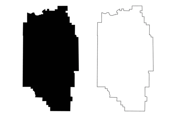
Coshocton and Columbiana County, Ohio State (U.S. county, United States of America, USA, U.S., US) map vector illustration, scribble sketch map
Coshocton Columbiana County Ohio State County United States America Usa — Stock Vector
Location map treasure icon in tourism-hotels-hospitality category
Location Map Treasure Icon Tourism Hotels Hospitality Category — Stock Vector
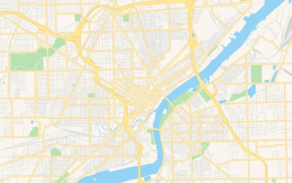
Empty vector map of Toledo, Ohio, USA
Empty vector map of Toledo, Ohio, USA — Stock Vector
Hartford County, Connecticut (U.S. county, United States of America,USA, U.S., US) map vector illustration, scribble sketch Hartford map
Hartford County, Connecticut (U.S. county, United States of America,USA, U.S., US) map vector illustration, scribble sketch Hartford map — Stock Vector
Maine state of United States of America, USA. Simplified thick black outline map. Simple flat vector illustration
Maine State United States America Usa Simplified Thick Black Outline — Stock Vector
Bender City (Republic of Moldova, Transnistria or Transdniestria, Pridnestrovian Moldavian Republic) map vector illustration, scribble sketch City of Bendery or Tighina map
Bender City Republic Moldova Transnistria Transdniestria Pridnestrovian Moldavian Republic Map — Stock Vector
Cole County, Missouri (U.S. county, United States of America, USA, U.S., US) map vector illustration, scribble sketch Cole map
Cole County Missouri County United States America Usa Map Vector — Stock Vector
Denali Borough, Alaska (Boroughs and census areas in Alaska, United States of America,USA, U.S., US) map vector illustration, scribble sketch Denali map
Denali Borough, Alaska (Boroughs and census areas in Alaska, United States of America,USA, U.S., US) map vector illustration, scribble sketch Denali map — Stock Vector
Accurate map of Ontario
Accurate map of Ontario — Stock Vector
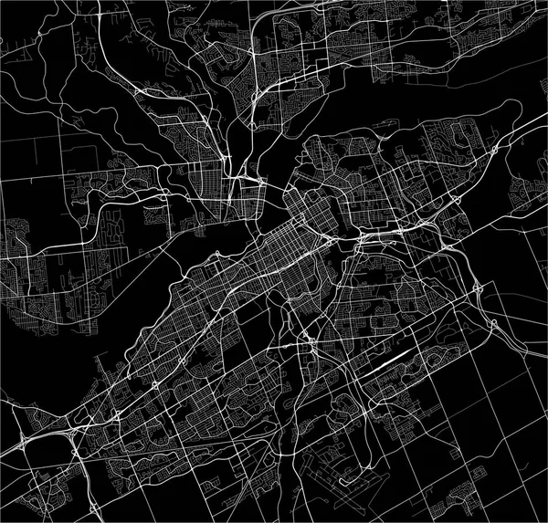
Map of the city of Ottawa, Ontario, Canada
Map of the city of Ottawa, Ontario, Canada — Stock Vector
Angola - 3D black thin outline silhouette map of country area. Simple flat vector illustration
Angola - 3D black thin outline silhouette map of country area. Simple flat vector illustration — Stock Vector
Connecticut state map. US state map. Connecticut outline symbol. Retro typography. Vector illustration
Connecticut State Map State Map Connecticut Outline Symbol Retro Typography — Stock Vector
Durban City (Republic of South Africa, RSA, KwaZulu-Natal Province) map vector illustration, scribble sketch City of Durban map
Durban City Republic South Africa Rsa Kwazulu Natal Province Map — Stock Vector
Samsun City (Republic of Turkey, Black Sea Region) map vector illustration, scribble sketch City of Samsun map
Samsun City Republic Turkey Black Sea Region Map Vector Illustration — Stock Vector
Urban vector city map of san carlos de bariloche, Argentina
Urban vector city map of san carlos de bariloche, Argentina — Stock Vector
Causeni district map, province of Moldova. Vector illustration.
Causeni District Map Province Moldova Vector Illustration — Stock Vector
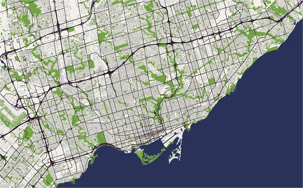
Map of the city of Toronto, Canada
Map of the city of Toronto, Canada — Stock Vector
Country Shape Illustration of Monaco
Country Shape Illustration of Monaco — Stock Vector
Oulu, Finland printable map
Oulu, Finland printable map — Stock Vector
Marion County, Georgia (U.S. county, United States of America,USA, U.S., US) map vector illustration, scribble sketch Marion map
Marion County Georgia County United States America Usa Map Vector — Stock Vector
Caribbean country islands icon in Outline style
Caribbean Country Islands Icon Outline Style — Stock Vector
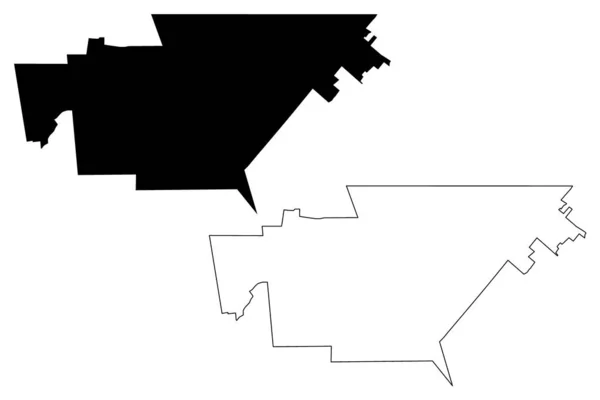
Tolyatti City (Russian Federation, Russia, Samara Oblast) map vector illustration, scribble sketch City of Togliattigrad or Togliatti map
Tolyatti City Russian Federation Russia Samara Oblast Map Vector Illustration — Stock Vector
Canada Map Population People
Canada Map Population People — Stock Vector
Ad Dawhah municipality, administrative division of the country of Qatar. Vector illustration.
Dawhah Municipality Administrative Division Country Qatar Vector Illustration — Stock Vector
Moncton City (Canada, New Brunswick Province) map vector illustration, scribble sketch City of Moncton map
Moncton City Canada New Brunswick Province Map Vector Illustration Scribble — Stock Vector

Toronto Map Vector Images: The Ultimate Guide

Vector images have become increasingly popular in today's digital world. They are normalized images that are infinitely scalable without losing clarity and resolution. This means that you can use them on any device, from a tiny smartphone screen to a massive billboard in Times Square. In this article, we will explore Toronto map vector images – what they are, their applications, and where to find them.

What are Toronto map vector images?

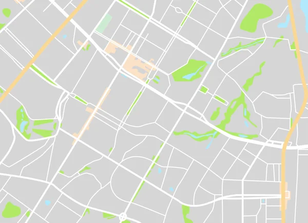
Toronto map vector images are digital illustrations of Toronto's streets and landmarks, drawn using vector graphics software like Adobe Illustrator. The images consist of paths, curves, lines, and geometric shapes, giving them their distinct crispness of detail and flexibility.

These vector images can be used in a range of different projects, including city guides, travel posters, and tour brochures. They can also be added to websites, mobile apps, and digital media campaigns to provide a visual representation of the city. Toronto map vector images come in different file formats such as AI and EPS, which are compatible with a wide range of graphic design software products.

Applications of Toronto map vector images

Toronto map vector images are a versatile visual tool, useful in many contexts. Conventionally, Toronto map vector images are used for city maps, which can be printed on paper and used as guidebooks, wall posters, or online maps for navigation. For travel bloggers, these images can be used to infuse posts with city-specific vibes that resonate with their audience.

Toronto map vector images can also be used to promote Toronto-based events or organizations. For instance, you could integrate a Toronto map vector image into a marketing campaign for a cultural festival such as the Taste of Little Italy. Or, vector images could be added to a brochure for the Royal Ontario Museum to improve visitors' first impressions.

Where to find Toronto map vector images

There are various online portals to source Toronto map vector images that suit specific needs. For instance, Adobe Stock and Shutterstock offer diverse options of Toronto map vector images for different budgets. These platforms also permit filter options based on the file format, image size, contributor and tone.

You can also consider contacting a graphic design agency to create custom Toronto map vector images that suit specific contexts. A professional agency can ensure that the vector images are tailored to your exact needs to create a unique visual experience.

Conclusion

Toronto map vector images provide a sophisticated, modern way of representing the city. They bring clarity, depth, and visual interest to a range of promotional materials. Since they are infinitely scalable, they make a descriptive visual representation of Toronto that is adaptable for any device. With the widespread use of digital media, vector images have become an indispensable tool for marketing and brand identity. Toronto map vector images can take marketing materials to the next level, and they are sure to impress an audience.