Utah map Stock Vector Images

100,000 Utah map vector art & graphics are available under a royalty-free license

  • Best Match
  • Fresh
  • Popular
1-100 of 100,000
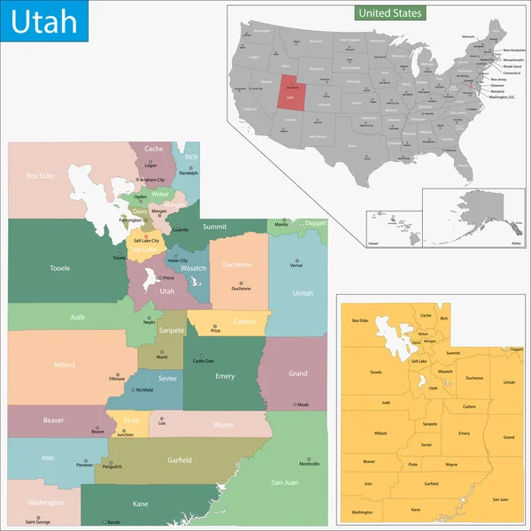
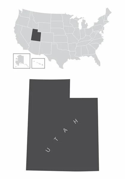
Utah map
Utah map — Stock Vector
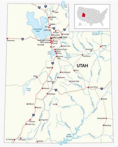
Road map of the US American State of Utah
Road map of the US American State of Utah — Stock Vector
Utah map
Utah map — Stock Vector
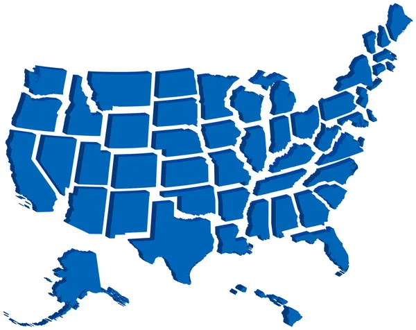
United States 3D Map
United States 3D Map — Stock Vector
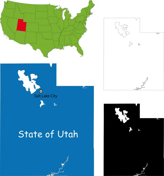
Map of the U.S. state of Utah
Map of the U.S. state of Utah — Stock Vector
Usa map
Usa map — Stock Vector
Stylized red sketch map of Utah
Stylized Red Sketch Map Utah — Stock Vector
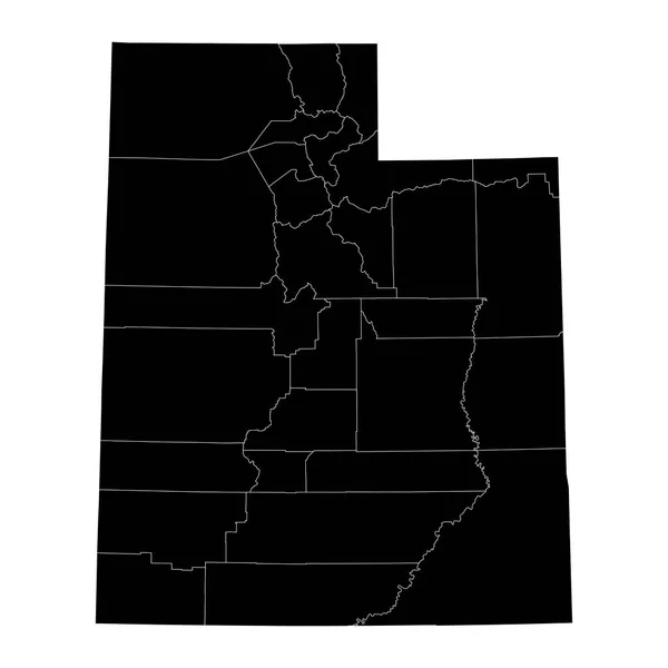
The Utah State, USA. Administrative map isolated on dark background.
Utah State Usa Administrative Map Isolated Dark Background — Stock Vector
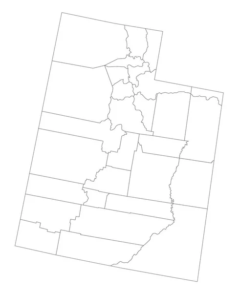
Highly Detailed Utah Blind Map.
Highly Detailed Utah Blind Map — Stock Vector
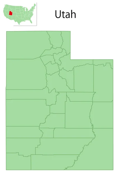
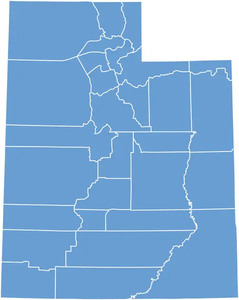
Utah state map with counties. Vector illustration.
Utah State Map Counties Vector Illustration — Stock Vector
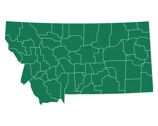
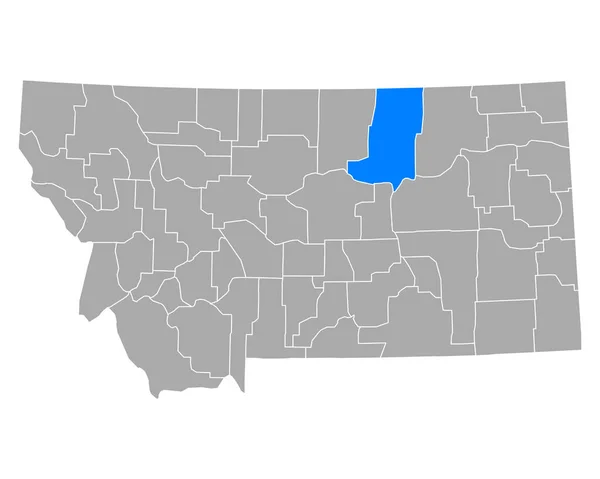
Accurate map of Montana
Accurate map of Montana — Stock Vector
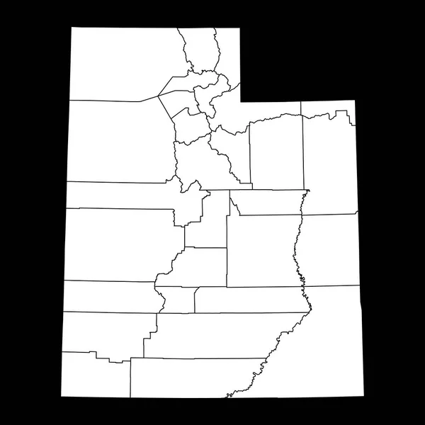
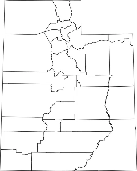
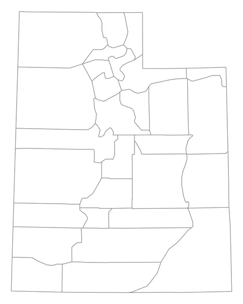
White blank vector administrative map of the Federal State of Utah, USA with black borders of its counties
White Blank Vector Administrative Map Federal State Utah Usa Black — Stock Vector
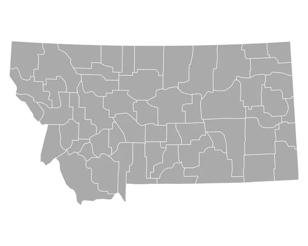
Accurate map of Montana
Accurate map of Montana — Stock Vector
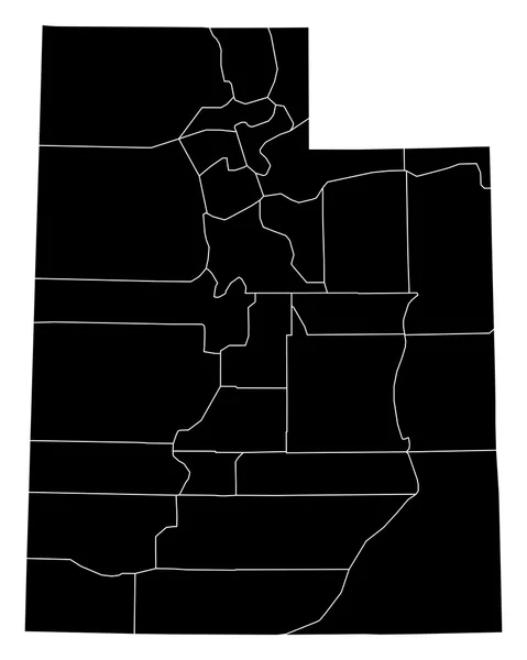
Accurate map of Utah
Accurate map of Utah — Stock Vector
Utah USA map state icon
Utah Usa Map State Icon — Stock Vector
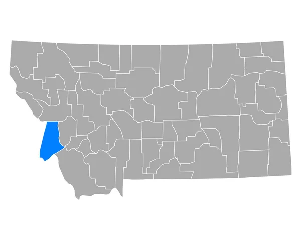
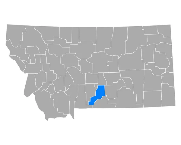
Map of Ravalli in Montana
Map Ravalli Montana — Stock Vector
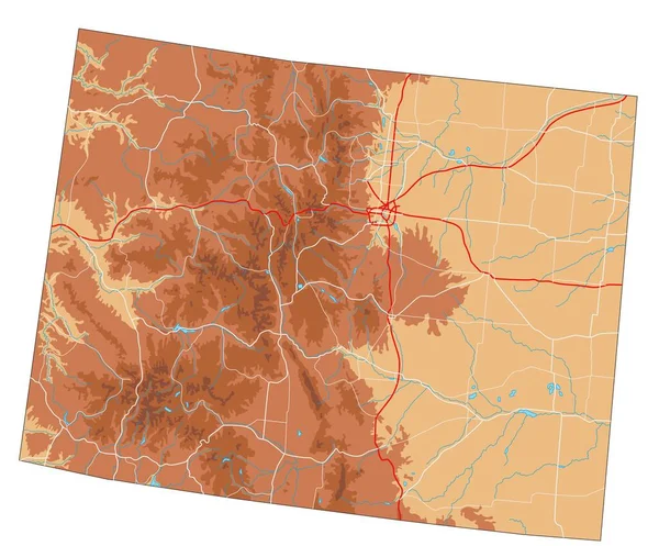
High detailed Colorado physical map.
High Detailed Colorado Physical Map — Stock Vector
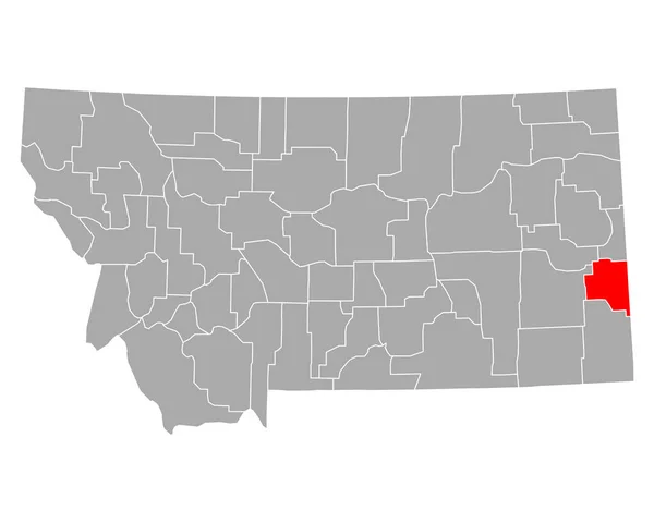
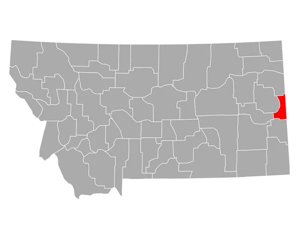
Map of Fallon in Montana
Map Fallon Montana — Stock Vector
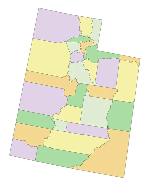
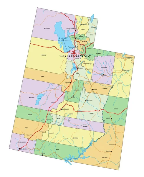
Utah - Highly detailed editable political map.
Utah Highly Detailed Editable Political Map — Stock Vector
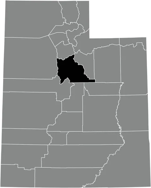
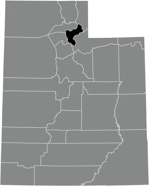
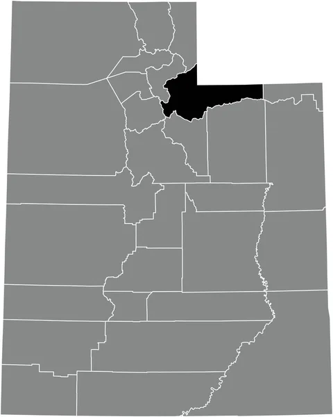
Black highlighted location map of the Wasatch County inside gray administrative map of the Federal State of Utah, USA
Black Highlighted Location Map Wasatch County Gray Administrative Map Federal — Stock Vector
Ismailia Governorate (Governorates of Egypt, Arab Republic of Egypt) map vector illustration, scribble sketch Ismailia map
Ismailia Governorate Governorates Egypt Arab Republic Egypt Map Vector Illustration — Stock Vector
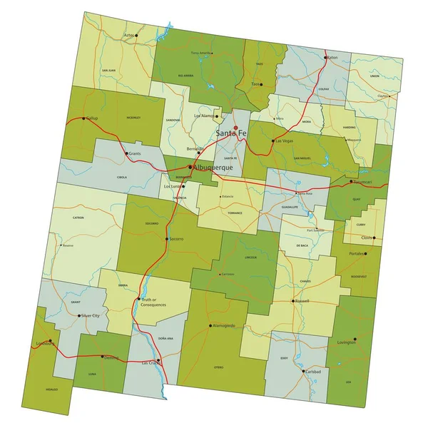
Highly detailed editable political map with separated layers. New Mexico.
Highly Detailed Editable Political Map Separated Layers New Mexico — Stock Vector
Black highlighted location map of the Beaver County inside gray administrative map of the Federal State of Utah, USA
Black Highlighted Location Map Beaver County Gray Administrative Map Federal — Stock Vector
Black highlighted location map of the Rich County inside gray administrative map of the Federal State of Utah, USA
Black Highlighted Location Map Rich County Gray Administrative Map Federal — Stock Vector
Map of Cascade in Montana
Map Cascade Montana — Stock Vector
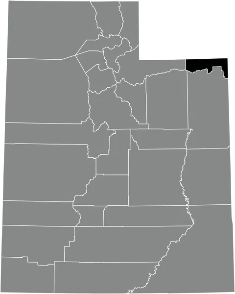
Black highlighted location map of the Daggett County inside gray administrative map of the Federal State of Utah, USA
Black Highlighted Location Map Daggett County Gray Administrative Map Federal — Stock Vector
Utah State map
Utah State map — Stock Vector
Black highlighted location map of the Cache County inside gray administrative map of the Federal State of Utah, USA
Black Highlighted Location Map Cache County Gray Administrative Map Federal — Stock Vector
Map of missouri stylized vector illustration
Map Missouri Stylized Vector Illustration — Stock Vector
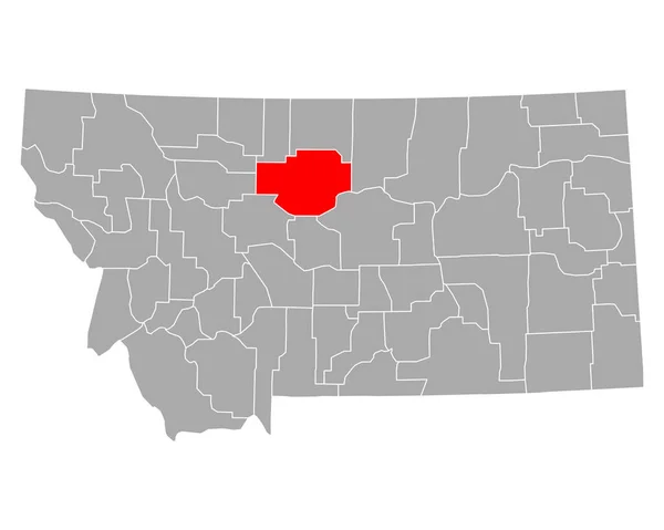
Map of Fergus in Montana
Map Fergus Montana — Stock Vector
Map of oklahoma state
Map Oklahoma State — Stock Vector
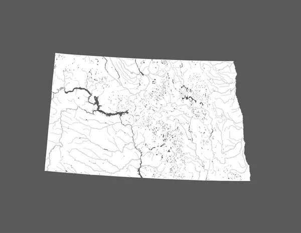
U.S. states - map of North Dakota. Hand made. Rivers and lakes are shown. Please look at my other images of cartographic series - they are all very detailed and carefully drawn by hand WITH RIVERS AND LAKES.
States Map North Dakota Hand Made Rivers Lakes Shown Please — Stock Vector
Map of Park in Montana
Map Park Montana — Stock Vector
Map of Stillwater in Montana
Map Stillwater Montana — Stock Vector
Black highlighted location map of the Perry County inside gray administrative map of the Federal State of Tennessee, USA
Black Highlighted Location Map Perry County Gray Administrative Map Federal — Stock Vector
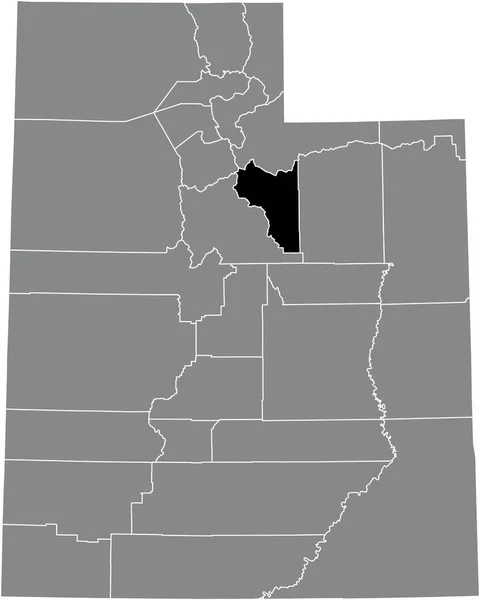
Black highlighted location map of the Utah County inside gray administrative map of the Federal State of Utah, USA
Black Highlighted Location Map Utah County Gray Administrative Map Federal — Stock Vector
Map of Phillips in Montana
Map Phillips Montana — Stock Vector
Utah - Highly detailed editable political map with labeling.
Utah Highly Detailed Editable Political Map Labeling — Stock Vector
Gray vector administrative map of the Federal State of South Dakota, USA with white borders of its counties
Gray Vector Administrative Map Federal State South Dakota Usa White — Stock Vector
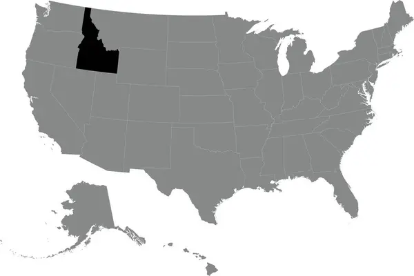
Black CMYK federal map of IDAHO inside detailed gray blank political map of the United States of America on transparent background
Black Cmyk Federal Map Idaho Detailed Gray Blank Political Map — Stock Vector
Map of Big Horn in Montana
Map Big Horn Montana — Stock Vector
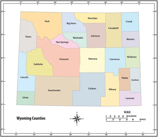
Wyoming state outline administrative and political map in color
Wyoming state outline administrative and political map in color — Stock Vector
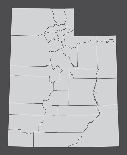
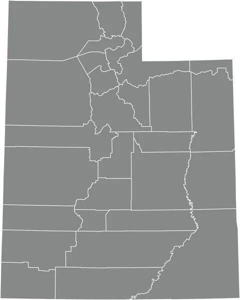
Gray vector administrative map of the Federal State of Utah, USA with white borders of its counties
Gray Vector Administrative Map Federal State Utah Usa White Borders — Stock Vector
Black highlighted location map of the Jackson County inside gray administrative map of the Federal State of Tennessee, USA
Black Highlighted Location Map Jackson County Gray Administrative Map Federal — Stock Vector
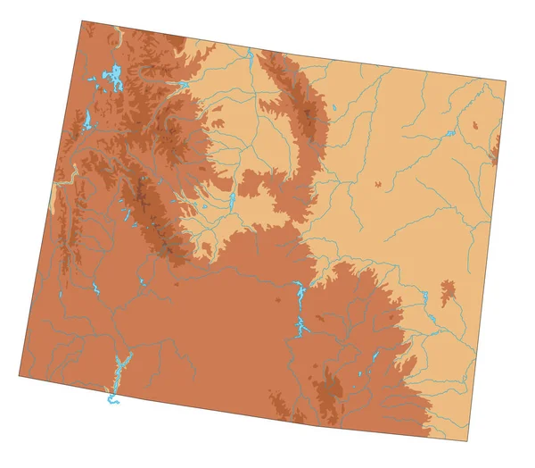
Highly detailed Wyoming physical map.
Highly Detailed Wyoming Physical Map — Stock Vector
U.S. states - map of Idaho. Hand made. Rivers and lakes are shown. Please look at my other images of cartographic series - they are all very detailed and carefully drawn by hand WITH RIVERS AND LAKES.
States Map Idaho Hand Made Rivers Lakes Shown Please Look — Stock Vector
A part of usa map with states on white background
Part Usa Map States White Background — Stock Vector
Utah state map with counties. Vector illustration.
Utah State Map Counties Vector Illustration — Stock Vector
Map of Big Horn in Montana
Map Big Horn Montana — Stock Vector
Accurate map of Utah
Accurate map of Utah — Stock Vector
Map of Blaine in Montana
Map Blaine Montana — Stock Vector
Routt County, Colorado (U.S. county, United States of America,USA, U.S., US) map vector illustration, scribble sketch Routt map
Routt County, Colorado (U.S. county, United States of America,USA, U.S., US) map vector illustration, scribble sketch Routt map — Stock Vector
Black highlighted location map of the Lewis County inside gray administrative map of the Federal State of Tennessee, USA
Black Highlighted Location Map Lewis County Gray Administrative Map Federal — Stock Vector
Map of Beaver in Utah
Map Beaver Utah — Stock Vector
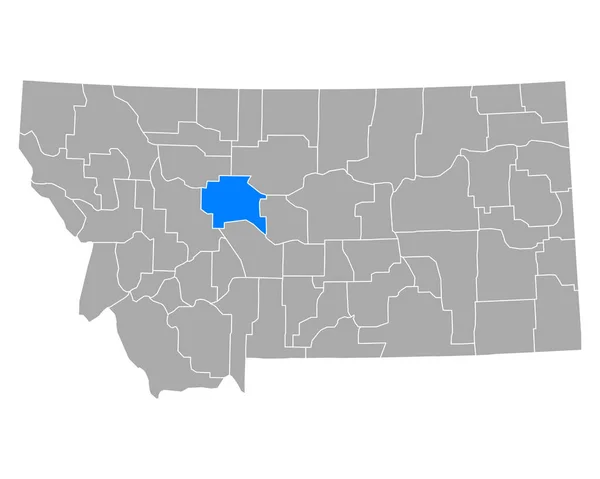
Accurate map of Montana
Accurate map of Montana — Stock Vector
Black highlighted location map of the Dickson County inside gray administrative map of the Federal State of Tennessee, USA
Black Highlighted Location Map Dickson County Gray Administrative Map Federal — Stock Vector
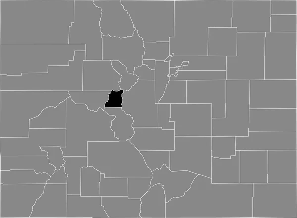
Black highlighted location map of the US Lake county inside gray map of the Federal State of Colorado, USA
Black Highlighted Location Map Lake County Gray Map Federal State — Stock Vector
Map of Chouteau in Montana
Map Chouteau Montana — Stock Vector
Map of Wibaux in Montana
Map Wibaux Montana — Stock Vector
Trelawny Parish (Parishes of Jamaica, Cornwall County) map vector illustration, scribble sketch Trelawny map
Trelawny Parish (Parishes of Jamaica, Cornwall County) map vector illustration, scribble sketch Trelawny map — Stock Vector
Black highlighted location map of the Morgan County inside gray administrative map of the Federal State of Utah, USA
Black Highlighted Location Map Morgan County Gray Administrative Map Federal — Stock Vector
Map of Custer in Montana
Map Custer Montana — Stock Vector
Black highlighted location map of the Coffee County inside gray administrative map of the Federal State of Tennessee, USA
Black Highlighted Location Map Coffee County Gray Administrative Map Federal — Stock Vector
Black highlighted location map of the Warren County inside gray administrative map of the Federal State of Tennessee, USA
Black Highlighted Location Map Warren County Gray Administrative Map Federal — Stock Vector
Map of Gallatin in Montana
Map Gallatin Montana — Stock Vector
Map of Stillwater in Montana
Map Stillwater Montana — Stock Vector
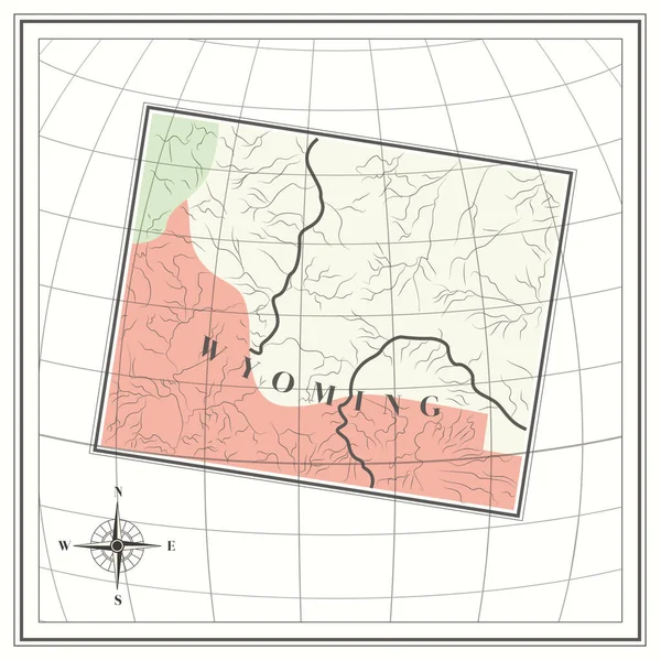
Map of wyoming state
Map Wyoming State — Stock Vector
Missoula County, Montana (U.S. county, United States of America, USA, U.S., US) map vector illustration, scribble sketch Missoula map
Missoula County Montana County United States America Usa Map Vector — Stock Vector
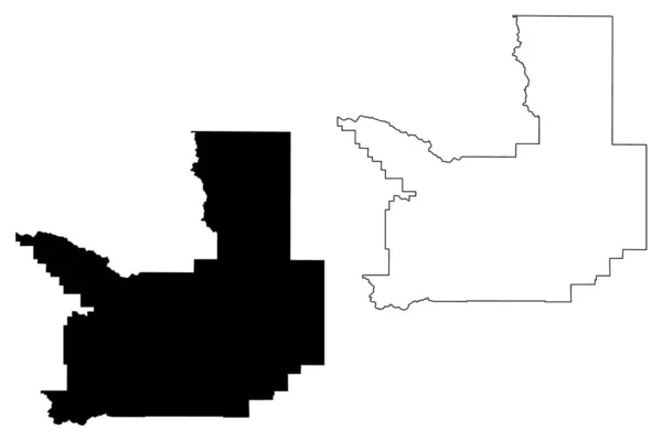
Black highlighted location map of the Summit County inside gray administrative map of the Federal State of Utah, USA
Black Highlighted Location Map Summit County Gray Administrative Map Federal — Stock Vector
Accurate map of Utah
Accurate map of Utah — Stock Vector
Pulaski County, Arkansas (U.S. county, United States of America,USA, U.S., US) map vector illustration, scribble sketch Pulaski map
Pulaski County, Arkansas (U.S. county, United States of America,USA, U.S., US) map vector illustration, scribble sketch Pulaski map — Stock Vector
Black highlighted location map of the Bedford County inside gray administrative map of the Federal State of Tennessee, USA
Black Highlighted Location Map Bedford County Gray Administrative Map Federal — Stock Vector
Black highlighted location map of the Petroleum County inside gray map of the Federal State of Montana, USA
Black Highlighted Location Map Petroleum County Gray Map Federal State — Stock Vector
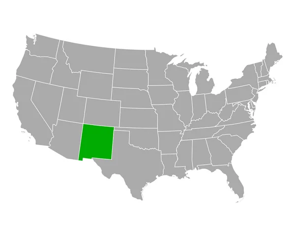
Map of New Mexico in USA
Map of New Mexico in USA — Stock Vector
High Quality map state of United States
High Quality map state of United States — Stock Vector
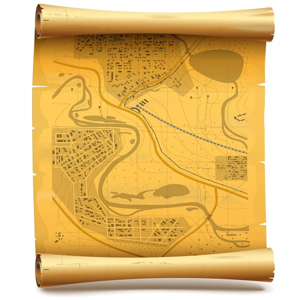
Vector Paper Scroll with Map
Vector Paper Scroll with Map — Stock Vector
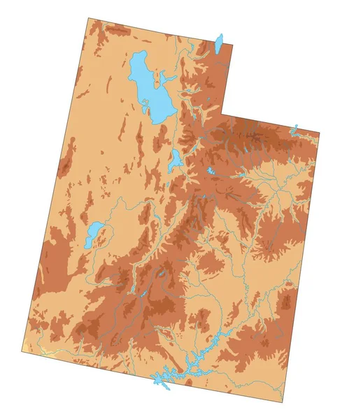
High detailed Utah physical map.
High Detailed Utah Physical Map — Stock Vector
U.S. states - map of Montana. Hand made. Rivers and lakes are shown. Please look at my other images of cartographic series - they are all very detailed and carefully drawn by hand WITH RIVERS AND LAKES.
States Map Montana Hand Made Rivers Lakes Shown Please Look — Stock Vector
Map vector illustration isolated on white background
Map Vector Illustration Isolated White Background — Stock Vector
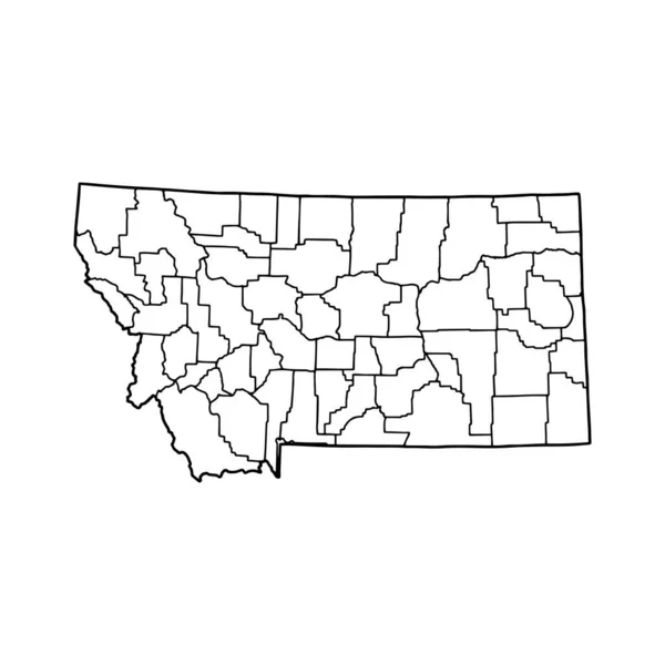
Outline map of Montana white background. USA state, vector map with contour.
Outline Map Montana White Background Usa State Vector Map Contour — Stock Vector
Black highlighted location map of the Carroll County inside gray administrative map of the Federal State of Tennessee, USA
Black Highlighted Location Map Carroll County Gray Administrative Map Federal — Stock Vector
Outline map of Utah white background. USA state, vector map with contour.
Outline Map Utah White Background Usa State Vector Map Contour — Stock Vector
Map of Granite in Montana
Map Granite Montana — Stock Vector
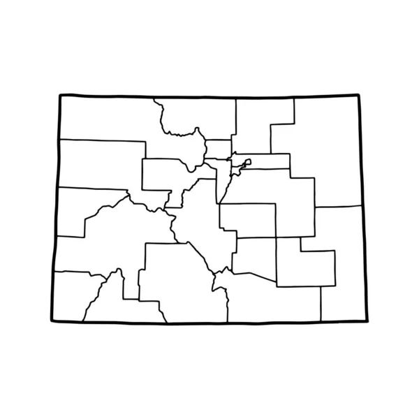
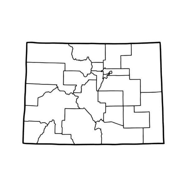
Outline map of Colorado white background. USA state, vector map with contour.
Outline Map Colorado White Background Usa State Vector Map Contour — Stock Vector
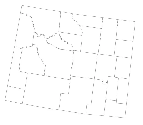
Outline map of Wyoming white background. USA state, vector map with contour.
Outline Map Wyoming White Background Usa State Vector Map Contour — Stock Vector
Black highlighted location map of the Wilson County inside gray administrative map of the Federal State of Tennessee, USA
Black Highlighted Location Map Wilson County Gray Administrative Map Federal — Stock Vector
White Outline Counties Map of US State of Nevada
White Outline Counties Map State Nevada — Stock Vector
Windrose 1
Windrose 1 — Stock Vector
Black highlighted location map of the Wayne County inside gray administrative map of the Federal State of Utah, USA
Black Highlighted Location Map Wayne County Gray Administrative Map Federal — Stock Vector
Map of Broomfield in Colorado
Map Broomfield Colorado — Stock Vector
Black highlighted location map of the McMinn County inside gray administrative map of the Federal State of Tennessee, USA
Black Highlighted Location Map Mcminn County Gray Administrative Map Federal — Stock Vector
Highly Detailed Wyoming Blind Map.
Highly Detailed Wyoming Blind Map — Stock Vector
Black highlighted location map of the Morgan County inside gray administrative map of the Federal State of Tennessee, USA
Black Highlighted Location Map Morgan County Gray Administrative Map Federal — Stock Vector
Perry County, Illinois (U.S. county, United States of America, USA, U.S., US) map vector illustration, scribble sketch Perry map
Perry County Illinois County United States America Usa Map Vector — Stock Vector
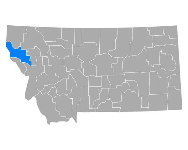
Map of Sanders in Montana
Map Sanders Montana — Stock Vector
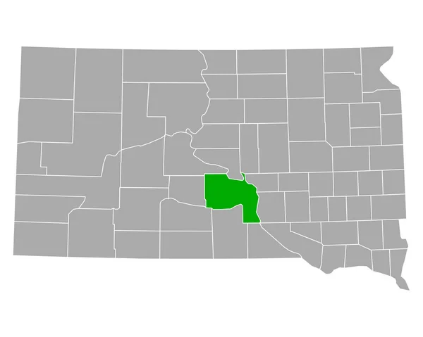
Map of Lyman in South Dakota
Map Lyman South Dakota — Stock Vector
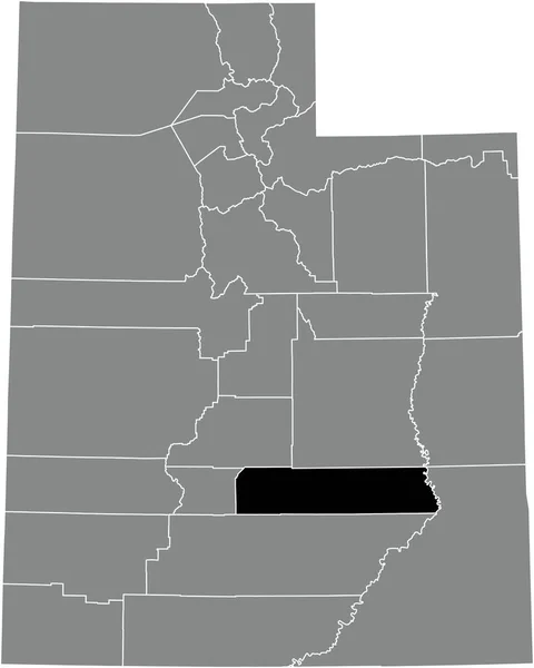
Black highlighted location map of the Emery County inside gray administrative map of the Federal State of Utah, USA
Black Highlighted Location Map Emery County Gray Administrative Map Federal — Stock Vector
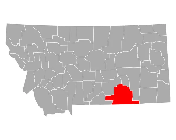
Rosebud County, Montana (U.S. county, United States of America, USA, U.S., US) map vector illustration, scribble sketch Rosebud map
Rosebud County Montana County United States America Usa Map Vector — Stock Vector
Black highlighted location map of the Iron County inside gray administrative map of the Federal State of Utah, USA
Black Highlighted Location Map Iron County Gray Administrative Map Federal — Stock Vector
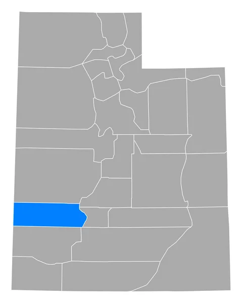
Black highlighted location map of the Millard County inside gray administrative map of the Federal State of Utah, USA
Black Highlighted Location Map Millard County Gray Administrative Map Federal — Stock Vector

Utah Map Vector Images: The Ultimate Tool for Your Projects

Utah map vector images are perfect for anyone looking to add a touch of professionalism to their projects. These high-quality images are not only visually appealing but also great for illustrating maps, charts, and infographics. Below is an overview of the available images, where they can be used, and some practical tips on how to use them effectively.

What are Utah Map Vector Images?

Utah map vector images are digital images created using software such as Adobe Illustrator. Unlike raster images such as JPEGs and PNGs, vector images can easily be resized without losing resolution. They are commonly used in graphic design projects to create crisp, clean lines and shapes. In the case of Utah map vector images, they contain the state's outline, major cities, and landmarks that can be easily edited, customized, and used for a variety of purposes.

For instance, if you are creating a marketing campaign targeting visitors to Utah, Utah map vector images can be used to create visually appealing brochures, posters, or web graphics. The images can also be used for educational purposes, such as geography or history projects.

Types of Utah Map Vector Images

There are various types of Utah map vector images available, including:

  • Colored Utah map vector images: These have different shades of color that make them aesthetically pleasing. They can be used in a variety of creative projects.
  • Outline Utah map vector images: These only contain the state's outline, without any color or shading. Outline images are useful for creating custom maps with specific markers and text.
  • 3D Utah map vector images: These give a realistic, three-dimensional representation of Utah's topography. They are perfect for creating interactive maps that allow users to zoom in and explore the state's features.

Additionally, custom Utah map vector images can also be created to suit specific needs and preferences.

How to Use Utah Map Vector Images Effectively

When using Utah map vector images, it is important to keep a few things in mind:

  • Use images that suit the purpose of your project.
  • Ensure that images are high quality and have clear lines and shapes.
  • Choose image formats that are compatible with the software you are using.
  • Pay attention to the file size of the images to avoid slowing down your website or documents.
  • If you are using copyrighted images, ensure that you have the necessary rights to use them.

Benefits of Using Utah Map Vector Images

Using Utah map vector images in your projects has several benefits, including:

  • Flexibility: Utah map vector images can easily be resized, combined and edited for different projects and applications.
  • High Quality: Utah map vector images are high-quality images that are visually appealing and look professional.
  • Brand Consistency: Using Utah map vector images for marketing and branding will ensure consistency in your company's branding efforts.
  • Cost-Effective: Investing in Utah map vector images is cost-effective in the long run as they can be used multiple times in different projects and formats.

Conclusion

Utah map vector images are valuable resources for graphic designers, marketers, and educators looking for high-quality, visually appealing images of Utah. By using these images effectively, you can elevate your project to a professional level while enjoying the many benefits they offer. With many options available, it's easy to find an image that suits your project's specific needs and preferences.