Virginia Stock Vector Images

100,000 Virginia vector art & graphics are available under a royalty-free license

  • Best Match
  • Fresh
  • Popular
1-100 of 100,000
Touristic Greeting Card
Touristic Greeting Card — Stock Vector
Virginia
Virginia — Stock Vector
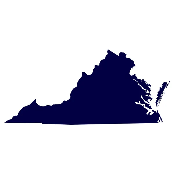
Map of the U.S. state of Virginia
Map of the U.S. state of Virginia — Stock Vector
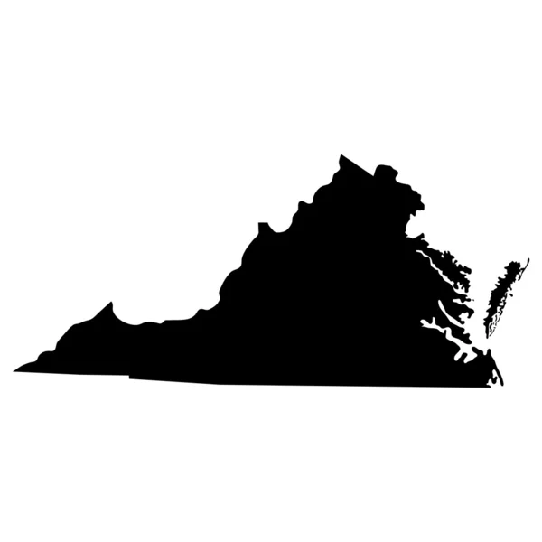
Map of the U.S. state of Virginia
Map of the U.S. state of Virginia — Stock Vector
Map of Virginia
Map of Virginia — Stock Vector
Virginia stamp
Virginia stamp — Stock Vector
Virginia grunge stamp
Virginia grunge stamp — Stock Vector
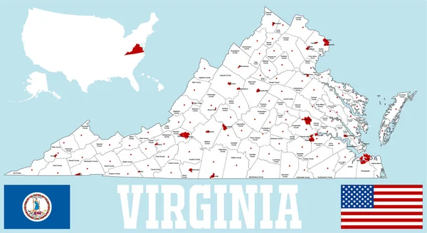
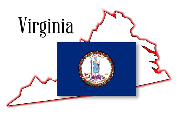
Virginia State Map and Flag
Virginia State Map and Flag — Stock Vector
Virginia postage stamp design. Vector illustration of hikers on rock cliff on Appalachian trail. Grunge postmark on separate layer.
Virginia postage stamp design. Vector illustration of hikers on rock cliff on Appalachian trail. Grunge postmark on separate layer. — Stock Vector
Virginia, United States retro style travel poster or sticker. Scenic view from rocky cliff on the Appalachian Trail.
Virginia, United States retro style travel poster or sticker. Scenic view from rocky cliff on the Appalachian Trail. — Stock Vector
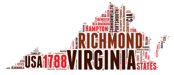
Virginia USA state map vector tag cloud illustration
Virginia USA state map vector tag cloud illustration — Stock Vector
State of Virginia Icons
State of Virginia Icons — Stock Vector
Virginia Flag Button
Virginia Flag Button — Stock Vector
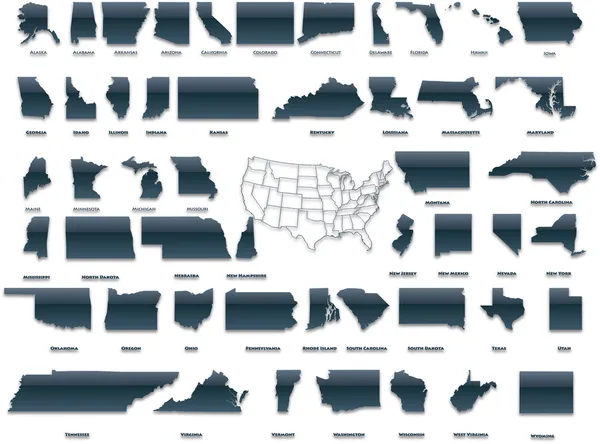
States of America pack
States of America pack — Stock Vector
Label Virginia
Label Virginia — Stock Vector
West Virginia stamp
West Virginia stamp — Stock Vector
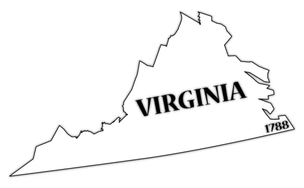
Virginia State and Date
Virginia State and Date — Stock Vector
West Virginia Flag Button
West Virginia  Flag Button — Stock Vector
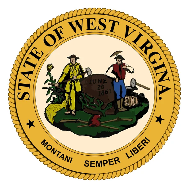
West Virginia State Seal
West Virginia State Seal — Stock Vector
Abstract post stamps set with name and map of West Virginia, USA
Abstract post stamps set with name and map of West Virginia, USA — Stock Vector
Map of Virginia
Map of Virginia — Stock Vector
Virginia state map polygonal with spot lights places
Virginia state map polygonal with spot lights places — Stock Vector
Map of Virginia
Map of Virginia — Stock Vector
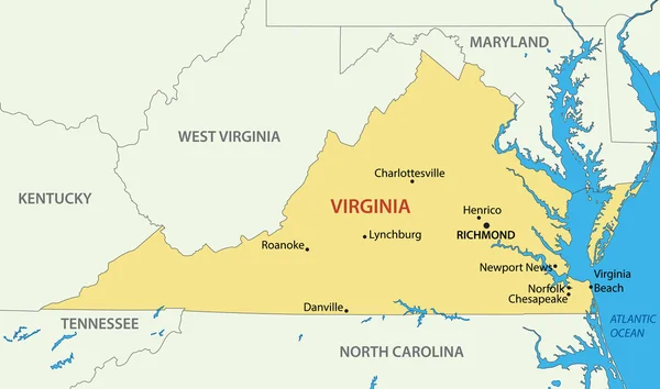
Commonwealth of Virginia - vector map
Commonwealth of Virginia - vector map — Stock Vector
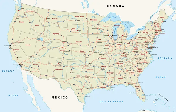
Us interstate highway map
Us interstate highway map — Stock Vector
Map of Virginia
Map of Virginia — Stock Vector
Map of Virginia in blue colour
Map of Virginia in blue colour — Stock Vector
Label with map of Virginia, vector
Label with map of Virginia, vector — Stock Vector
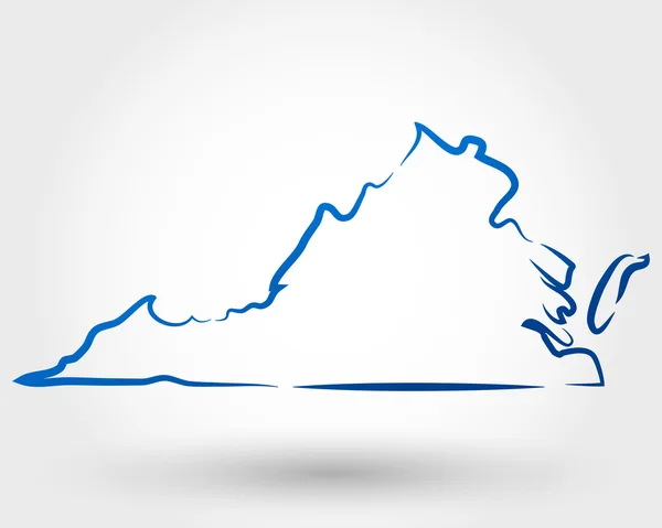
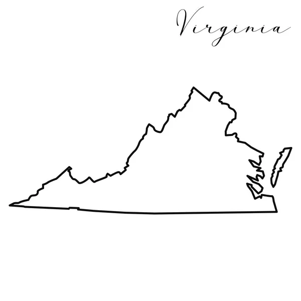
Virginia map high quality vector. American state simple hand made line drawing map
Virginia Map High Quality Vector American State Simple Hand Made — Stock Vector
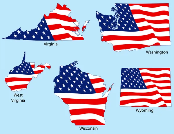
Five States with Flags
Five States with Flags — Stock Vector
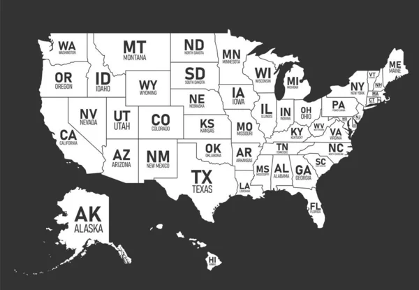
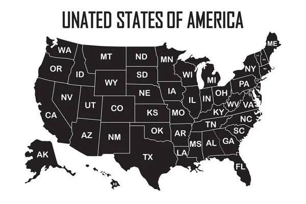
Map of United States of America with state names and abbreviations. Black and white print map of USA. Vector flat style Illustration.
Map of United States of America with state names and abbreviations. Black and white print map of USA. Vector flat style Illustration. — Stock Vector
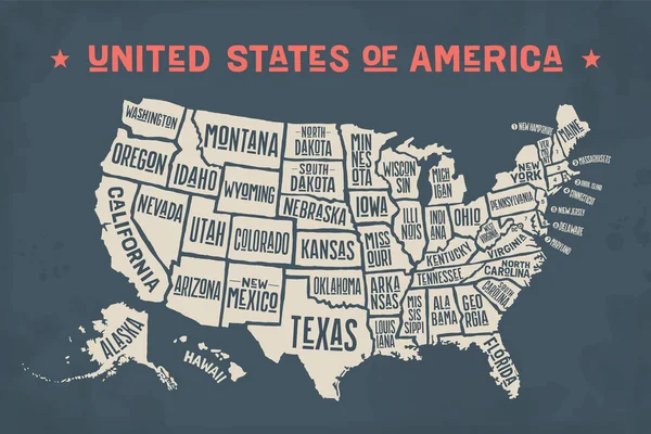
Poster map of United States of America with state names on the white background.
Poster map of United States of America with state names on the white background. — Stock Vector
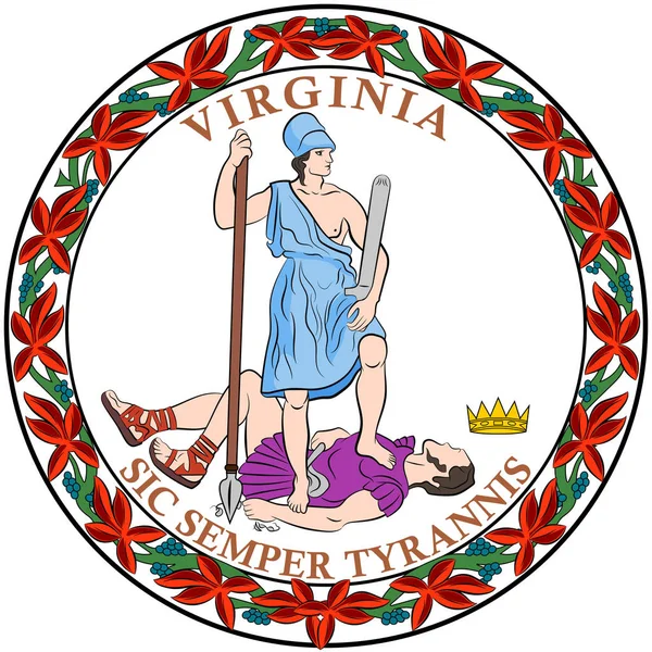
Coat of arms of Virginia State of USA
Coat of arms of Virginia State of USA — Stock Vector
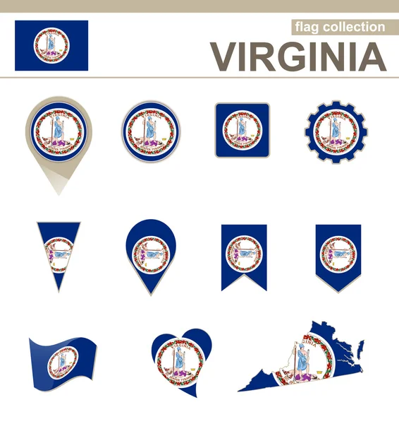
Virginia Flag Collection
Virginia Flag Collection — Stock Vector
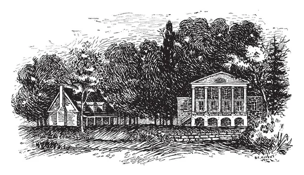
This is like big white house of president. The residence of President is located at James Monroe, in Oak Hill, Virginia, vintage line drawing or engraving illustration.
Big White House President Residence President Located James Monroe Oak — Stock Vector
Map United States of America
Map United States of America — Stock Vector
Welcome to Virginia stamp
Welcome to Virginia stamp — Stock Vector
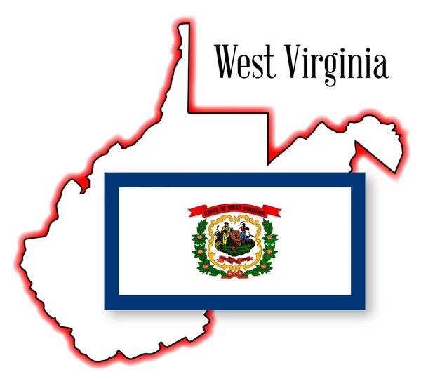
West Virginia State Map and Flag
West Virginia State Map and Flag — Stock Vector
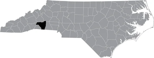
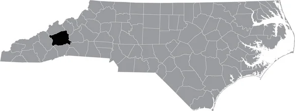
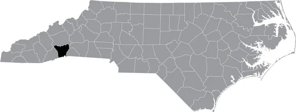
Black highlighted location map of the Henderson County inside gray administrative map of the Federal State of North Carolina, USA
Black Highlighted Location Map Henderson County Gray Administrative Map Federal — Stock Vector
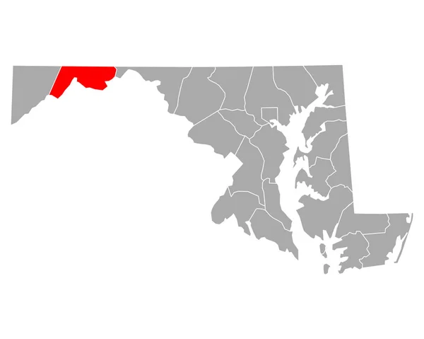
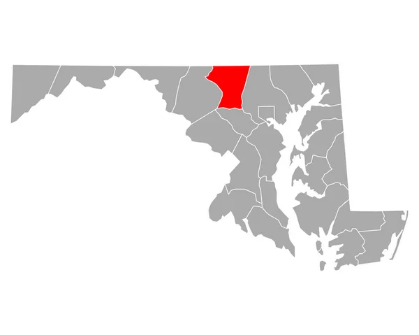
Map of Carroll in Maryland
Map Carroll Maryland — Stock Vector
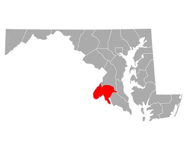
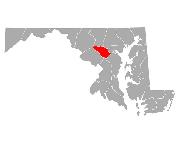
Map of Montgomery in Maryland
Map Montgomery Maryland — Stock Vector
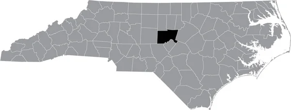
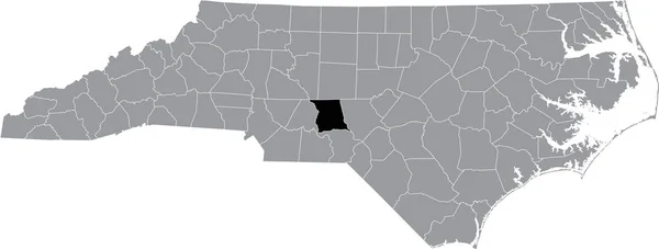
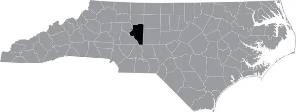
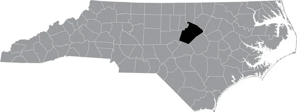
Black highlighted location map of the Chatham County inside gray administrative map of the Federal State of North Carolina, USA
Black Highlighted Location Map Chatham County Gray Administrative Map Federal — Stock Vector
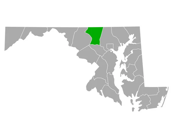
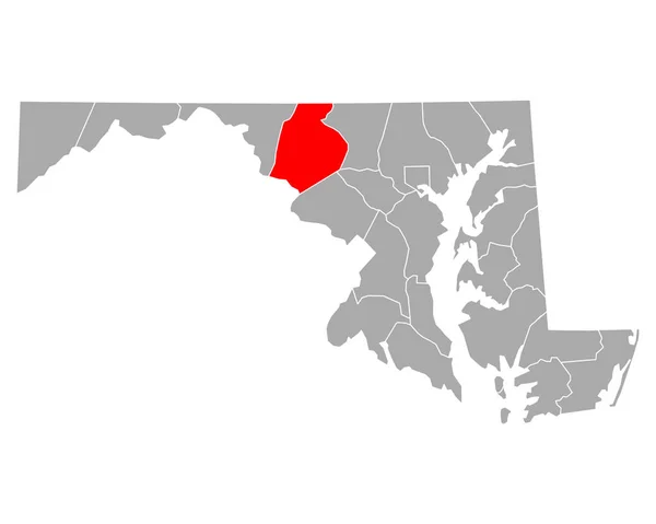
Map of Frederick in Maryland
Map Frederick Maryland — Stock Vector
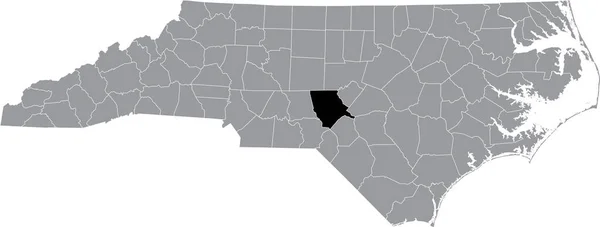
Black highlighted location map of the Forsyth County inside gray administrative map of the Federal State of North Carolina, USA
Black Highlighted Location Map Forsyth County Gray Administrative Map Federal — Stock Vector
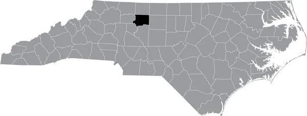
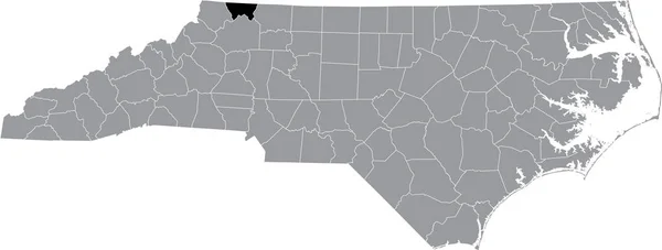
Black highlighted location map of the Wilkes County inside gray administrative map of the Federal State of North Carolina, USA
Black Highlighted Location Map Wilkes County Gray Administrative Map Federal — Stock Vector
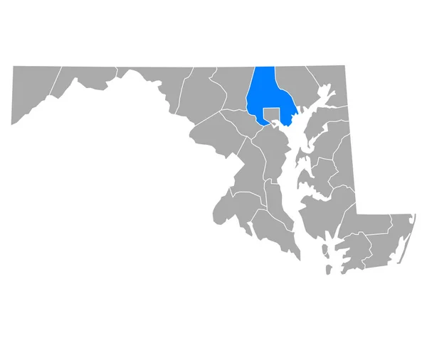
Map of Baltimore County in Maryland
Map Baltimore County Maryland — Stock Vector
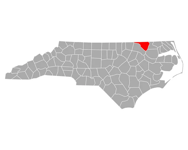
Black highlighted location map of the Hertford County inside gray administrative map of the Federal State of North Carolina, USA
Black Highlighted Location Map Hertford County Gray Administrative Map Federal — Stock Vector
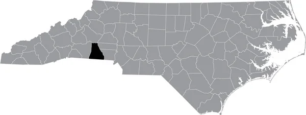
Black highlighted location map of the Rutherford County inside gray administrative map of the Federal State of North Carolina, USA
Black Highlighted Location Map Rutherford County Gray Administrative Map Federal — Stock Vector
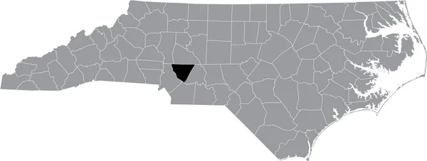
Black highlighted location map of the Montgomery County inside gray administrative map of the Federal State of North Carolina, USA
Black Highlighted Location Map Montgomery County Gray Administrative Map Federal — Stock Vector
Black highlighted location map of the Madison County inside gray administrative map of the Federal State of North Carolina, USA
Black Highlighted Location Map Madison County Gray Administrative Map Federal — Stock Vector
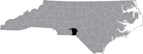
Black highlighted location map of the Moore County inside gray administrative map of the Federal State of North Carolina, USA
Black Highlighted Location Map Moore County Gray Administrative Map Federal — Stock Vector
Black highlighted location map of the Cleveland County inside gray administrative map of the Federal State of North Carolina, USA
Black Highlighted Location Map Cleveland County Gray Administrative Map Federal — Stock Vector
Black highlighted location map of the Caswell County inside gray administrative map of the Federal State of North Carolina, USA
Black Highlighted Location Map Caswell County Gray Administrative Map Federal — Stock Vector
Black highlighted location map of the Davie Countyinside gray administrative map of the Federal State of North Carolina, USA
Black Highlighted Location Map Davie Countyinside Gray Administrative Map Federal — Stock Vector
Black highlighted location map of the Catawba County inside gray administrative map of the Federal State of North Carolina, USA
Black Highlighted Location Map Catawba County Gray Administrative Map Federal — Stock Vector
Black highlighted location map of the Yancey County inside gray administrative map of the Federal State of North Carolina, USA
Black Highlighted Location Map Yancey County Gray Administrative Map Federal — Stock Vector
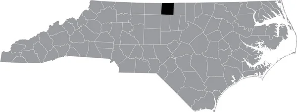
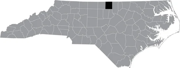
Black highlighted location map of the Person County inside gray administrative map of the Federal State of North Carolina, USA
Black Highlighted Location Map Person County Gray Administrative Map Federal — Stock Vector
Map of Charles in Maryland
Map Charles Maryland — Stock Vector
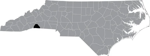
Black highlighted location map of the Polk County inside gray administrative map of the Federal State of North Carolina, USA
Black Highlighted Location Map Polk County Gray Administrative Map Federal — Stock Vector
Black highlighted location map of the Washington County inside gray administrative map of the Federal State of North Carolina, USA
Black Highlighted Location Map Washington County Gray Administrative Map Federal — Stock Vector
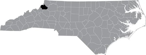
Black highlighted location map of the Watauga County inside gray administrative map of the Federal State of North Carolina, USA
Black Highlighted Location Map Watauga County Gray Administrative Map Federal — Stock Vector
Map of Allegany in Maryland
Map Allegany Maryland — Stock Vector
Black highlighted location map of the Rockingham County inside gray administrative map of the Federal State of North Carolina, USA
Black Highlighted Location Map Rockingham County Gray Administrative Map Federal — Stock Vector
Black highlighted location map of the Edgecombe County inside gray administrative map of the Federal State of North Carolina, USA
Black Highlighted Location Map Edgecombe County Gray Administrative Map Federal — Stock Vector
Black highlighted location map of the Buncombe County inside gray administrative map of the Federal State of North Carolina, USA
Black Highlighted Location Map Buncombe County Gray Administrative Map Federal — Stock Vector
Black highlighted location map of the Gates County inside gray administrative map of the Federal State of North Carolina, USA
Black Highlighted Location Map Gates County Gray Administrative Map Federal — Stock Vector
Black highlighted location map of the Guilford County inside gray administrative map of the Federal State of North Carolina, USA
Black Highlighted Location Map Guilford County Gray Administrative Map Federal — Stock Vector
Black highlighted location map of the Duplin County inside gray administrative map of the Federal State of North Carolina, USA
Black Highlighted Location Map Duplin County Gray Administrative Map Federal — Stock Vector
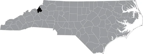
Black highlighted location map of the Avery County inside gray administrative map of the Federal State of North Carolina, USA
Black Highlighted Location Map Avery County Gray Administrative Map Federal — Stock Vector
Black highlighted location map of the Richmond County inside gray administrative map of the Federal State of North Carolina, USA
Black Highlighted Location Map Richmond County Gray Administrative Map Federal — Stock Vector
Black highlighted location map of the Alleghany County inside gray administrative map of the Federal State of North Carolina, USA
Black Highlighted Location Map Alleghany County Gray Administrative Map Federal — Stock Vector
Black highlighted location map of the Wayne County inside gray administrative map of the Federal State of North Carolina, USA
Black Highlighted Location Map Wayne County Gray Administrative Map Federal — Stock Vector
De Ronde Venen municipality (Kingdom of the Netherlands, Holland, Utrecht province) map vector illustration, scribble sketch map
Ronde Venen Municipality Kingdom Netherlands Holland Utrecht Province Map Vector — Stock Vector
Black highlighted location map of the Davidson County inside gray administrative map of the Federal State of North Carolina, USA
Black Highlighted Location Map Davidson County Gray Administrative Map Federal — Stock Vector
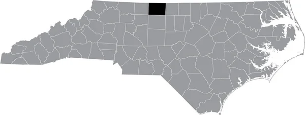
Black highlighted location map of the Stokes County inside gray administrative map of the Federal State of North Carolina, USA
Black Highlighted Location Map Stokes County Gray Administrative Map Federal — Stock Vector
Black flat blank highlighted location map of the PLACE-VENDME QUARTER inside gray administrative map of the 1st arrondissement (Du Louvre), Paris, France
Black Flat Blank Highlighted Location Map Place Vendme Quarter Gray — Stock Vector
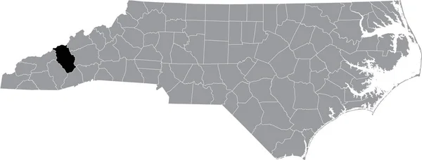
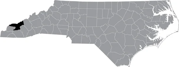
Black highlighted location map of the Haywood County inside gray administrative map of the Federal State of North Carolina, USA
Black Highlighted Location Map Haywood County Gray Administrative Map Federal — Stock Vector
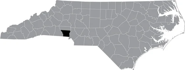
Black highlighted location map of the Gaston County inside gray administrative map of the Federal State of North Carolina, USA
Black Highlighted Location Map Gaston County Gray Administrative Map Federal — Stock Vector
Map of Union in South Carolina
Map Union South Carolina — Stock Vector
Map of Carroll in Maryland
Map Carroll Maryland — Stock Vector
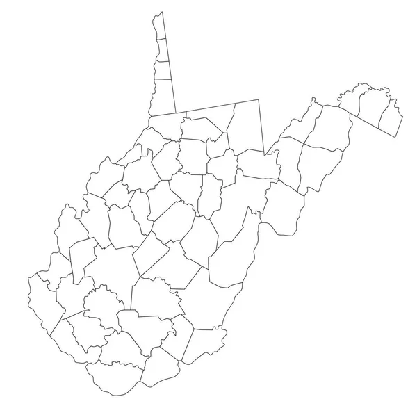
Highly Detailed West Virginia Blind Map.
Highly Detailed West Virginia Blind Map — Stock Vector
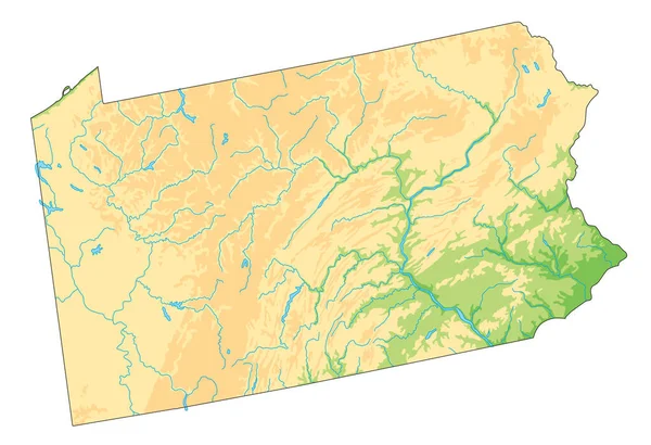
High detailed Pennsylvania physical map.
High Detailed Pennsylvania Physical Map — Stock Vector
Map of Frederick in Maryland
Map Frederick Maryland — Stock Vector
Black highlighted location map of the Union County inside gray administrative map of the Federal State of North Carolina, USA
Black Highlighted Location Map Union County Gray Administrative Map Federal — Stock Vector
Black highlighted location map of the Jackson County inside gray administrative map of the Federal State of North Carolina, USA
Black Highlighted Location Map Jackson County Gray Administrative Map Federal — Stock Vector
Black highlighted location map of the McDowell County inside gray administrative map of the Federal State of North Carolina, USA
Black Highlighted Location Map Mcdowell County Gray Administrative Map Federal — Stock Vector
Map of Baltimore County in Maryland
Map Baltimore County Maryland — Stock Vector
Map of Howard in Maryland
Map Howard Maryland — Stock Vector
Black highlighted location map of the Clay County inside gray administrative map of the Federal State of North Carolina, USA
Black Highlighted Location Map Clay County Gray Administrative Map Federal — Stock Vector
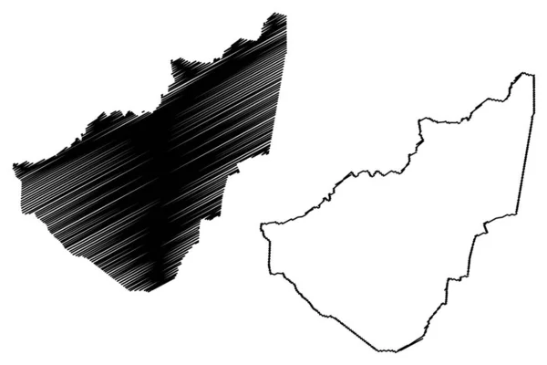
Russell County, Commonwealth of Virginia (U.S. county, United States of America, USA, U.S., US) map vector illustration, scribble sketch Russell map
Russell County Commonwealth Virginia County United States America Usa Map — Stock Vector
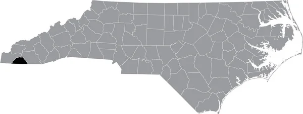
Black highlighted location map of the Swain County inside gray administrative map of the Federal State of North Carolina, USA
Black Highlighted Location Map Swain County Gray Administrative Map Federal — Stock Vector
Panjshir Province map vecto
Panjshir Province map vecto — Stock Vector
Black highlighted location map of the Wake County inside gray administrative map of the Federal State of North Carolina, USA
Black Highlighted Location Map Wake County Gray Administrative Map Federal — Stock Vector
Map of Northampton in North Carolina
Map Northampton North Carolina — Stock Vector
Black highlighted location map of the Cabarrus County inside gray administrative map of the Federal State of North Carolina, USA
Black Highlighted Location Map Cabarrus County Gray Administrative Map Federal — Stock Vector
Black highlighted location map of the Nash County inside gray administrative map of the Federal State of North Carolina, USA
Black Highlighted Location Map Nash County Gray Administrative Map Federal — Stock Vector
Black highlighted location map of the Transylvania County inside gray administrative map of the Federal State of North Carolina, USA
Black Highlighted Location Map Transylvania County Gray Administrative Map Federal — Stock Vector
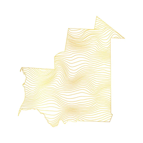
Abstract map of Mauritania - vector illustration of striped gold colored map
Abstract Map Mauritania Vector Illustration Striped Gold Colored Map — Stock Vector
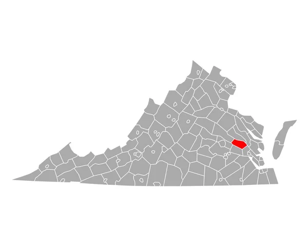
Map of New Kent in Virginia
Map New Kent Virginia — Stock Vector

Virginia Vector Images - Finding the Perfect Vector for Your Project

In today's digital age, vector images have become a crucial part of the design industry. Virginia Vector images take it a step further by providing high-quality art featuring the state of Virginia. These images are available in AI, EPS, and JPG formats, making them easily accessible for various digital projects.

What are Virginia Vector Images?

Virginia Vector images are digital images that have been created using mathematical equations rather than pixels. This means that no matter how much you scale them, their quality will remain crisp and clear. These vectors showcase the beauty of Virginia in all its glory while providing design solutions across various industries such as tourism, education, marketing, and more.

How to Use Virginia Vector Images

With their professional and versatile appearance, Virginia Vectors can be used for different projects such as posters, flyers, logos, and websites. When using vector files, it is important to note that they can be edited and tweaked without losing their quality, unlike raster files. When utilizing these files, make sure you have a design program such as Adobe Illustrator to ensure you can edit and manipulate them to fit your needs. As a practical tip, using vector images for designs that need to be printed both big and small scales is perfect as you won't have to worry about resolution and image quality degradation.

Finding the Right Virginia Vector for Your Project

Virginia Vector images come in different styles, genres, and themes. Each vector artwork showcases different parts of Virginia like its cities, landmarks, historical sites, mountain ranges, beaches, and plant life. This variety ensures that you can find the right vector image that suits your project. To help find your perfect vector, take note of the colors, style, and themes of your design. Be sure to select vector images that complement, rather than clash with, the rest of your design.

Benefits of Virginia Vector Images

Using Virginia Vector Images offers numerous benefits to any project. Firstly, they can help create unique textures and patterns for designs without decreasing the quality of the image. Additionally, vectors allow designers to edit the artwork without losing quality, making them more versatile and cost-effective in the long run. Lastly, vector images can be easily customized to fit the brand or theme of your project, allowing for design consistency and flexibility.

In conclusion, Virginia vector images offer stunning, professional art that is easily accessible and versatile for various design projects. With the right vector for your design, your project is guaranteed to stand out from the crowd.