2007 Greensburg KS Tornado 3D Radar — Royalty-free Stock Video

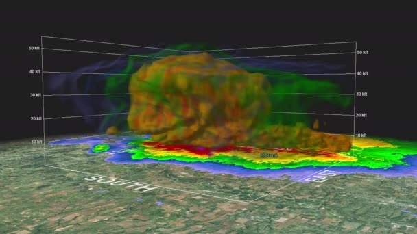
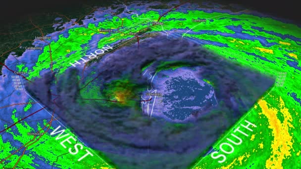
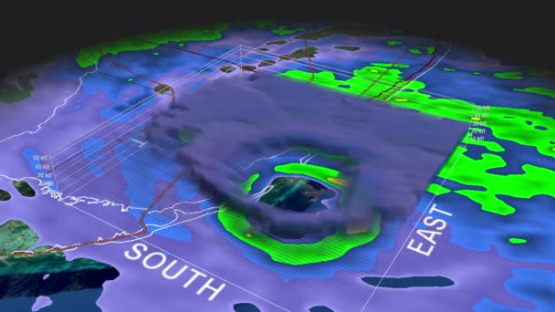
2007 Greensburg, KS tornado event. Depicts 3D radar imagery (reflectivity) of the tornado as it passed near the town. Created in part using archived National Weather Service NEXRAD radar.

 — Video by DakotaStudios

Same Series:

2013 El Rino, OK tornado event. Depicts 3D radar imagery (reflectivity) of the tornado as it passed near the town. Created in part using archived National Weather Service NEXRAD radar.
2013 El Rino, OK Tornado 3D Radar — Stock Video
Time Lapse Doppler Radar Imagery of the EF5 Tornado that impacted the city of Greensburg, Kansas on May 4th, 2007. Geographically correct labels for all major affected cities are visible. Created using archived data from NOAA.
2007 Greensburg, Kansas Tornado Weather Radar — Stock Video
Time Lapse Doppler Radar Imagery of the historic EF4 Tornado that impacted the city of Tuscaloosa, Alabama on afternoon of April 27th, 2011. City and county labels visible in full video. Created using archived data from the National Weather Service.
2011 Tuscaloosa, Alabama Tornado Weather Radar — Stock Video
2013 Moore, OK tornado event. Depicts 3D radar imagery (reflectivity) of the tornado as it passed near the town. Created in part using archived National Weather Service NEXRAD radar.
2013 Moore-Bridge Creek, OK Tornado 3D — Stock Video
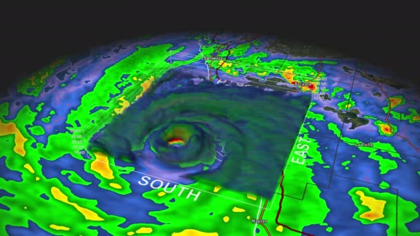
Hurricane Charley Landfall. Depicts a 3D "volumetric" radar imagery (reflectivity) taken by National Weather Service NEXRAD radar.
Hurricane Charley Eye 3D Radar — Stock Video
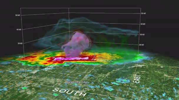
2010 Oklahoma City, OK historic hailstorm event. Depicts 3D radar imagery (reflectivity) of the core of the hailstorm as it passed near the town. Created in part using archived National Weather Service NEXRAD radar.
2010 Oklahoma City, OK Hailstorm (3D Volumetric) — Stock Video
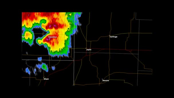
Time Lapse Doppler Radar Imagery of the EF5 Tornado that impacted the city of Joplin, Missouri on May 22nd, 2011. Geographically correct labels for all major affected cities are visible. Created using archived data from the NOAA.
2011 Joplin, Missouri Tornado Weather Radar — Stock Video
Time Lapse Doppler Radar Imagery of the historic EF5 Tornado that impacted the city of El Rino, Oklahoma on May 31st, 2013. Geographically correct labels for all major affected cities are visible. Created using data provided by NOAA.
2013 El Rino, Oklahoma Tornado Weather Radar — Stock Video
Hurricane Ike Landfall. Depicts a 3D "volumetric" radar imagery (reflectivity) taken by National Weather Service NEXRAD radar.
Hurricane Ike Eye 3D Radar — Stock Video
Hurricane Andrew Landfall. Depicts a 3D "volumetric" radar imagery (reflectivity) taken by National Weather Service NEXRAD radar.
Hurricane Andrew Eye 3D Radar — Stock Video
Short version of our popular Growing Global Network Animation. Clip starts shortly before the global reveal at the end which shows the completed world network.
Short Growing Global Network — Stock Video
Accelerated version of our popular Growing Global Network Animation.
Accelerated Growing Global Network — Stock Video
Condensed version of our popular Growing Global Network Animation. The transition periods between major markets is accelerated, while the rest of the animation is also sped up.
CONDENSED Global Network Animation — Stock Video
Animation of a network spreading rapidly across the globe.
Growing Global Network — Stock Video

Usage Information

You can use this royalty-free video "2007 Greensburg KS Tornado 3D Radar" for personal and commercial purposes according to the Standard License. The Standard License covers most use cases, including advertising and UI designs in websites and apps.

You can buy this stock footage and download it in high resolution up to 3840x2160.