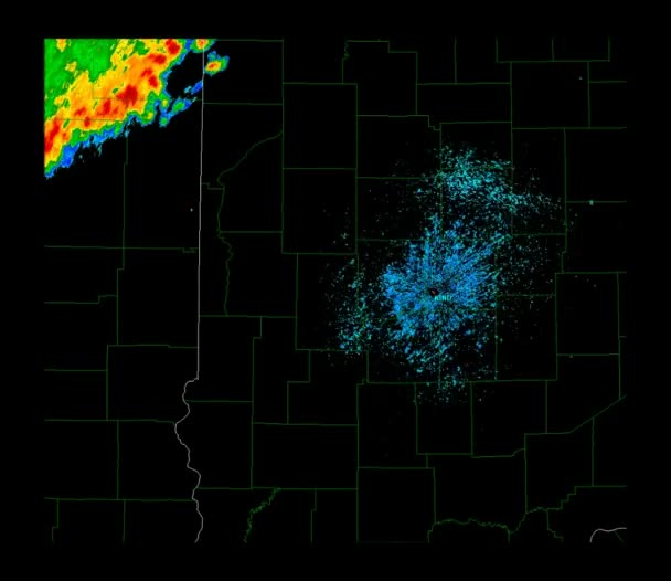
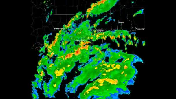
Hurricane Humberto (2007) Landfall Time Lapse — Royalty-free Stock Video

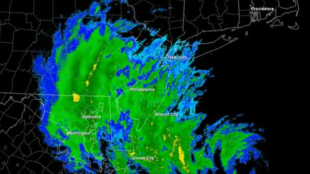
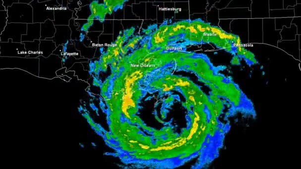
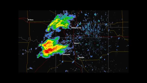
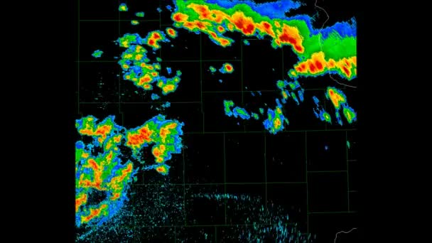
Hurricane Humberto Doppler Radar Landfall Time Lapse. 189 frames created using data provided by the NOAA Satellite and Information service. County and State borders and geographically correct labels for all major affected cities are visible.

 — Video by DakotaStudios

Same Series:

Hurricane Rita Doppler Radar Landfall Time Lapse. 189 frames created using data provided by the NOAA Satellite and Information service. County and State borders and geographically correct labels for all major affected cities are visible.
Hurricane Rita (2005) Landfall Time Lapse — Stock Video
Hurricane Sandy Doppler Radar Landfall Time Lapse. County and State borders and geographically correct labels for all major affected cities are visible. The 189 frames created using data provided by the NOAA Satellite and Information service.
Hurricane Sandy (2012) Landfall Time Lapse — Stock Video
Time Lapse Doppler Radar imagery of Hurricane Deniss's US landfall. Animation created using publicly available archived data from NOAA. County and State borders and geographically correct labels for all major affected cities are visible.
Hurricane Dennis (2005) Landfall Time Lapse — Stock Video
Time Lapse Doppler Radar imagery of Hurricane Andrew's US Landfall. Animation created using publicly available archived data from the NOAA. County and State borders and geographically correct labels for all major affected cities are visible.
Hurricane Andrew (1992) Landfall Time Lapse — Stock Video
Hurricane Isaac Doppler Radar Landfall Time Lapse. 352 frames created using data provided by the NOAA Satellite and Information service. County and State borders and geographically correct labels for all major affected cities are visible.
Hurricane Isaac (2012) Landfall Time Lapse — Stock Video
Hurricane Gustav Doppler Radar Landfall Time Lapse. 188 frames created using data provided by the NOAA Satellite and Information service. County and State borders and geographically correct labels for all major affected cities are visible.
Hurricane Gustav (2008) Landfall Time Lapse — Stock Video
Looping radar image of a Severe thunderstorm in south Florida. State and county outlines can clearly be seen in full resolution video. Animation created using publicly available archived data from the National Atmospheric and Oceanic Administration.
Severe Thunderstorm Weather Radar Time Lapse — Stock Video
Time Lapse Doppler Radar Imagery of the historic EF5 Tornado impacting the city of Moore, Oklahoma on May 20th, 2013. Geographically correct labels for all major cities are visible. Created in part by using archived data from the NOAA.
2013 Moore, Oklahoma Tornado Weather Radar — Stock Video
Looping radar image of a Severe thunderstorm in south Florida. State and county outlines can clearly be seen in full resolution video. Animation created using publicly available archived data from the National Atmospheric and Oceanic Administration.
Severe Thunderstorm Weather Radar Time Lapse — Stock Video
Time Lapse Doppler Radar Imagery of the EF5 Tornado that impacted the cities of Moore and Bridge Creek, Oklahoma on May 3rd, 1999. Geographically correct labels for all major affected cities are visible. Created using archived data from NOAA.
1999 Moore - Bridge Creek, Oklahoma Tornado — Stock Video
Time Lapse Doppler Radar imagery of Hurricane Katrina's US landfall. County and State borders and geographically correct labels for all major affected cities are visible. Animation created using publicly available archived data from NOAA.
Hurricane Katrina (2005) Landfall Time lapse — Stock Video
Hurricane Katrina Landfall. Depicts a 3D "volumetric" radar imagery (reflectivity) taken by National Weather Service NEXRAD radar.
Hurricane Katrina Eye 3D Radar — Stock Video
Looping radar image of a Severe thunderstorm in south Florida. State and county outlines can clearly be seen in full resolution video. Animation created using publicly available archived data from the National Atmospheric and Oceanic Administration.
Severe Thunderstorm Weather Radar Time Lapse — Stock Video

Usage Information

You can use this royalty-free video "Hurricane Humberto (2007) Landfall Time Lapse" for personal and commercial purposes according to the Standard License. The Standard License covers most use cases, including advertising and UI designs in websites and apps.

You can buy this stock footage and download it in high resolution up to 1920x1080.