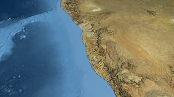
North American tectonic plate extruded. Bumps shaded — Royalty-free Stock Video

North American tectonic plate is centered on map of Azimuthal Equidistant projection, extruded and rotated. Graticule added. Colored elevation and bathymetry data used. Elements of this image furnished by NASA.

 — Video by Yarr65
  • Yarr65
    AuthorYarr65
  • 83183920
  • Find Similar Videos
  • Length: 00:30Aspect Ratio: 16:9

Same Series:

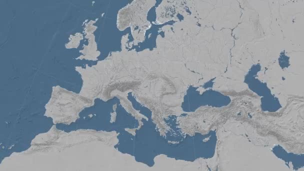
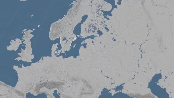
Eurasian tectonic plate is centered on map of Azimuthal Equidistant projection, extruded and rotated. Graticule added. Colored elevation and bathymetry data used. Elements of this image furnished by NASA.
Eurasian tectonic plate extruded. Bumps shaded — Stock Video
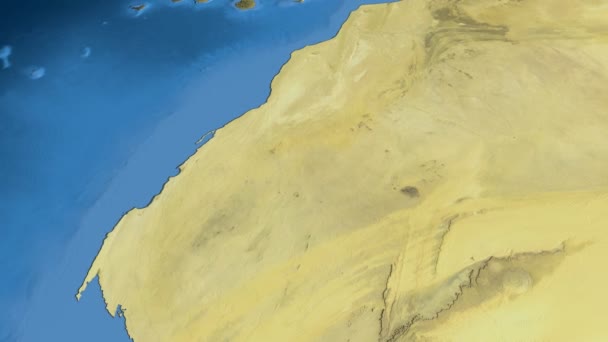
Glide over the satellite map of Western Sahara. Country area highlighted and outlined. Elements of this image furnished by NASA.
Western Sahara, glide over the map, outlined — Stock Video
Pakistan on the satellite map outlined and glowed. Elements of this image furnished by NASA.
Pakistan outlined and glowed. Neighbourhood. Satellite — Stock Video
Glide over the satellite map of Indonesia. Country area highlighted and outlined. Elements of this image furnished by NASA.
Indonesia, glide over the map, outlined — Stock Video
Glide over the satellite map of Saudi Arabia. Country area highlighted and outlined. Elements of this image furnished by NASA.
Saudi Arabia, glide over the map, outlined — Stock Video
Hungary on the elevation map outlined and glowed. Elements of this image furnished by NASA.
Hungary outlined and glowed. Neighbourhood. Elevation — Stock Video
Arabian tectonic plate is centered on map of Azimuthal Equidistant projection, extruded and rotated. Graticule added. High resolution Blue Marble raster used. Elements of this image furnished by NASA.
Arabian tectonic plate extruded. Blue Marble — Stock Video
Latvia on the elevation map outlined and glowed. Elements of this image furnished by NASA.
Latvia outlined and glowed. Neighbourhood. Elevation — Stock Video
Poland on the elevation map outlined and glowed. Elements of this image furnished by NASA.
Poland outlined and glowed. Neighbourhood. Elevation — Stock Video
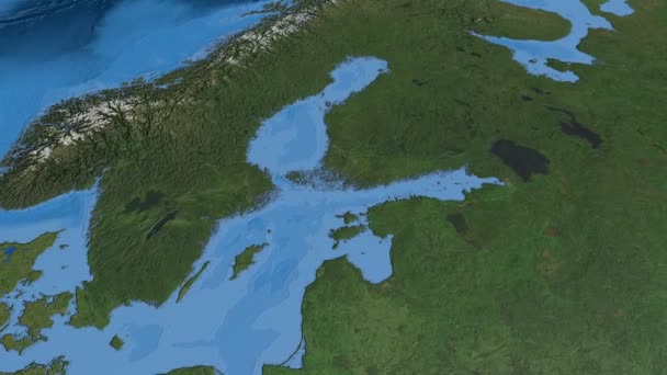
Glide over the satellite map of Sweden. Country area highlighted and outlined. Elements of this image furnished by NASA.
Sweden, glide over the map, outlined — Stock Video
Glide over the satellite map of Libya. Country area highlighted and outlined. Elements of this image furnished by NASA.
Libya, glide over the map, outlined — Stock Video
Macedonia on the elevation map outlined and glowed. Elements of this image furnished by NASA.
Macedonia outlined and glowed. Neighbourhood. Elevation — Stock Video
Glide over the satellite map of Namibia. Country area highlighted and outlined. Elements of this image furnished by NASA.
Namibia, glide over the map, outlined — Stock Video
Average temperature by month in the Mauritania area with animated legend - raw color shader. Stereographic projection
Average Temperature Month Mauritania Area Animated Legend Raw Color Shader — Stock Video
Average temperature by month in the Japan area with animated legend - raw color shader. Stereographic projection
Average Temperature Month Japan Area Animated Legend Raw Color Shader — Stock Video
Maximum temperature by month in the Croatia area with animated legend - raw color shader. Stereographic projection
Maximum Temperature Month Croatia Area Animated Legend Raw Color Shader — Stock Video

Usage Information

You can use this royalty-free video "North American tectonic plate extruded. Bumps shaded" for personal and commercial purposes according to the Standard License. The Standard License covers most use cases, including advertising and UI designs in websites and apps.

You can buy this stock footage and download it in high resolution up to 3840x2160.