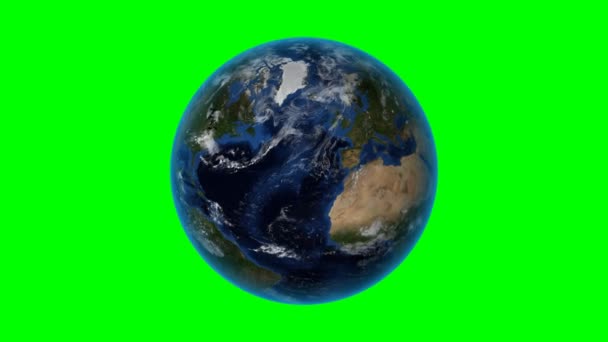
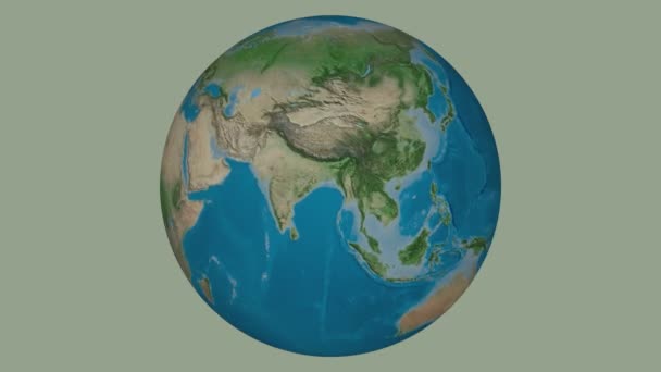
Southern Hemisphere zone. Physical globe with lakes and rivers. Overview. Loopable — Royalty-free Stock Video

Physical globe Southern Hemisphere zone. Overview. High resolution elevation and bathymetry maps coloured and merged with lakes and rivers GIS data. Graticule added. Elements of this image furnished by NASA.

 — Video by Yarr65
  • Yarr65
    AuthorYarr65
  • 83077996
  • Find Similar Videos
  • Length: 00:24Aspect Ratio: 16:9
  • 4.5

Same Series:

Canada outlined on the high resolution Blue Marble raster. Version with solid green as a background. Elements of this image furnished by NASA
Canada. 3D Earth in space - zoom in on Canada outlined. Green screen background — Stock Video
Physical globe Northern Hemisphere zone. Overview. High resolution elevation and bathymetry maps coloured and merged with lakes and rivers GIS data. Graticule added. Elements of this image furnished by NASA.
Northern Hemisphere zone. Physical globe with lakes and rivers. Overview. Loopable — Stock Video
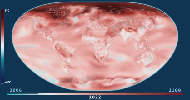
Climate Model: Surface Temperature Compared to 20th Century Average - 2006-2100 (Representative Concentration Pathways 8.5). Loximuthal projection. NOAA/GFDL dataset ID: 438
Surface Temperature Change Model (2006-2100, RCP 8.5) in the Loximuthal projection — Stock Video
India outlined on the high resolution Blue Marble raster. Version with star sky as a background. Elements of this image furnished by NASA
India. 3D Earth in space - zoom in on India outlined. Star sky background — Stock Video
Climate Model: Surface Temperature Compared to 20th Century Average - 2006-2100 (Representative Concentration Pathways 8.5). Wagner VI projection. NOAA/GFDL dataset ID: 438
Surface Temperature Change Model (2006-2100, RCP 8.5) in the Wagner VI projection — Stock Video
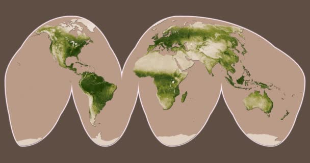
Vegetation: Seasonal Changes (Apr 2012 - Apr 2013). Interrupted Goode Homolosine projection. NASA/NOAA dataset ID: 407
Vegetation: Seasonal Changes (Apr 2012 - Apr 2013) in the Interrupted Goode Homolosine projection — Stock Video
Climate Model: Surface Temperature Compared to 20th Century Average - 2006-2100 (Representative Concentration Pathways 8.5). Eckert III projection. NOAA/GFDL dataset ID: 438
Surface Temperature Change Model (2006-2100, RCP 8.5) in the Eckert III projection — Stock Video
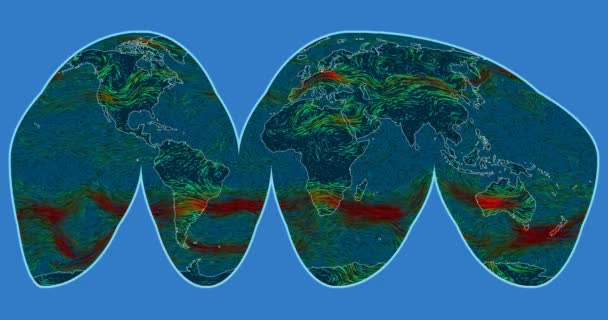
Wind speed over the Earth's surface. Interrupted Goode Homolosine projection. SVS/GSFC/NASA dataset ID: 4240
Wind Speed Earth Surface Interrupted Goode Homolosine Projection Svs Gsfc — Stock Video
Taiwan extruded on the world map with graticule. Rivers and lakes shapes added. Colored elevation and bathymetry data used. Elements of this image furnished by NASA.
Taiwan extruded. Bumps shaded. Graticule. — Stock Video
Canada outlined on the high resolution Blue Marble raster. Version with star sky as a background. Elements of this image furnished by NASA
Canada. 3D Earth in space - zoom in on Canada outlined. Star sky background — Stock Video
United States Alaska outlined on the high resolution Blue Marble raster. Version with star sky as a background. Elements of this image furnished by NASA
United States Alaska. 3D Earth in space - zoom in on United States Alaska outlined. Star sky background — Stock Video
Climate Model: Surface Temperature Compared to 20th Century Average - 2006-2100 (Representative Concentration Pathways 2.6). Loximuthal projection. NOAA/GFDL dataset ID: 438
Surface Temperature Change Model (2006-2100, RCP 2.6) in the Loximuthal projection — Stock Video
Russia outlined on the high resolution Blue Marble raster. Version with star sky as a background. Elements of this image furnished by NASA
Russia. 3D Earth in space - zoom in on Russia outlined. Star sky background — Stock Video
Ukraine area bounds outlined on the end cap of rectangular tube and animated against the spinning satellite globe
Ukraine channeled. Satellite — Stock Video
Niger outlined on the high resolution Blue Marble raster. Version with star sky as a background. Elements of this image furnished by NASA
Niger. 3D Earth in space - zoom in on Niger outlined. Star sky background — Stock Video

Usage Information

You can use this royalty-free video "Southern Hemisphere zone. Physical globe with lakes and rivers. Overview. Loopable" for personal and commercial purposes according to the Standard License. The Standard License covers most use cases, including advertising and UI designs in websites and apps.

You can buy this stock footage and download it in high resolution up to 3840x2160.