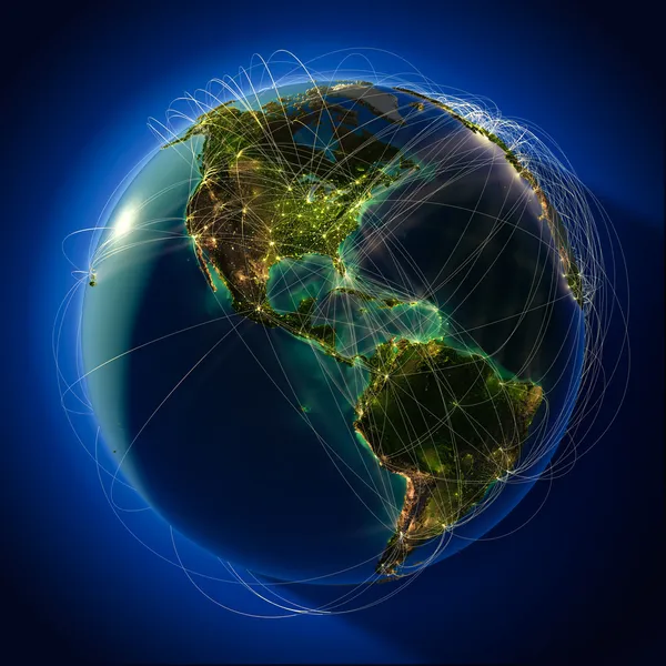
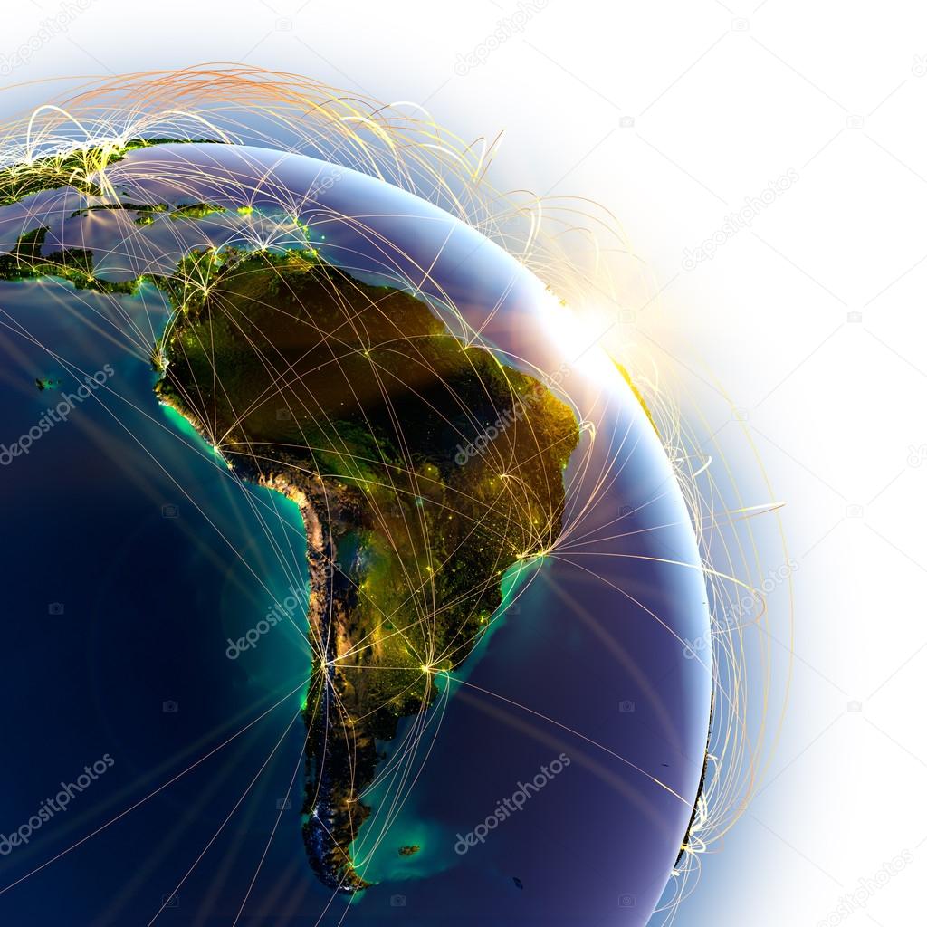
Main air routes in South America — Stock Photo, Image

Main air routes in South America — Photo

Highly detailed planet Earth on a white background, lit by the rising sun, with embossed continents, illuminated by light of cities, translucent and reflective ocean

 — Photo by Antartis

Same Series:

Highly detailed planet Earth at night, lit by the rising sun, with embossed continents, illuminated by light of cities, translucent and reflective ocean. Earth is surrounded by a luminous network, representing the major air routes based on real data
The main air routes of Asia — Stock Photo, Image
Highly detailed planet Earth at night, lit from behind the evening sun, with embossed continents, illuminated by light of cities, translucent and reflective oce
Major global aviation routes on the globe — Stock Photo, Image
Highly detailed planet Earth on a white background, lit by the rising sun, with embossed continents, illuminated by light of cities, translucent and reflective ocean
Main air routes in Australia and Oceania — Stock Photo, Image
Highly detailed planet Earth at night, lit by the rising sun, with embossed continents, illuminated by light of cities, translucent and reflective ocean. Earth is surrounded by a luminous network, representing the major air routes based on real data
The main air route over the Atlantic — Stock Photo, Image
Highly detailed planet Earth at night, lit by the rising sun, with embossed continents, illuminated by light of cities, translucent and reflective ocean. Earth is surrounded by a luminous network, representing the major air routes based on real data
Main air routes in Japan — Stock Photo, Image
Highly detailed planet Earth at night, lit from behind the evening sun, with embossed continents, illuminated by light of cities, translucent and reflective oce
Major global aviation routes on the globe — Stock Photo, Image
Highly detailed planet Earth at night with embossed continents, illuminated by light of cities, translucent and reflective ocean. Earth is surrounded by a luminous network, representing the major air routes based on real data
Main air routes in the Middle East and India — Stock Photo, Image
Earth with relief stylized continents surrounded by a wired network, symbolizing the world aviation traffic, which is based on real data on the carriage of passenger
Major global aviation routes on the globe — Stock Photo, Image
Highly detailed planet Earth at night with embossed continents, illuminated by light of cities, translucent and reflective ocean. Earth is surrounded by a luminous network, representing the major air routes based on real data
Main air routes in the Middle East and India — Stock Photo, Image
Highly detailed planet Earth on a white background, lit by the rising sun, with embossed continents, illuminated by light of cities, translucent and reflective ocean
Main air routes in Asia — Stock Photo, Image
Planet Earth with detailed relief is covered with a complex luminous network of air routes based on real data. The countries of Central America. 3D rendering. Elements of this image furnished by NASA
Detailed air routes on Earth. The countries of Central America. — Stock Photo, Image
Planet Earth with detailed relief is covered with a complex luminous network of air routes based on real data. Pacific Ocean. 3D rendering. Elements of this image furnished by NASA
Detailed air routes on Earth. 3D rendering — Stock Photo, Image
Highly detailed planet Earth on a white background, lit by the rising sun, with embossed continents, illuminated by light of cities, translucent and reflective ocean
Main air routes in North America — Stock Photo, Image
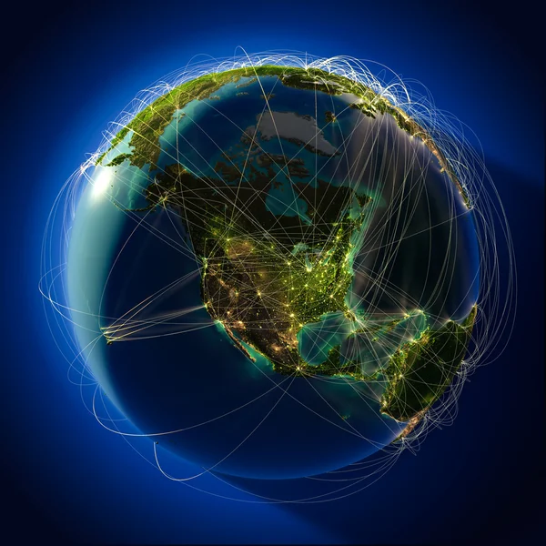
Highly detailed planet Earth at night with embossed continents, illuminated by light of cities, translucent and reflective ocean. Earth is surrounded by a luminous network, representing the major air routes based on real data
Main air routes in North America — Stock Photo, Image
Highly detailed planet Earth at night, lit by the rising sun, with embossed continents, illuminated by light of cities, translucent and reflective ocean
Main air routes in Asia — Stock Photo, Image
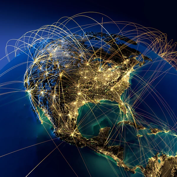
Highly detailed planet Earth at night with embossed continents, illuminated by light of cities, translucent and reflective ocean. Earth is surrounded by a luminous network, representing the major air routes based on real data
Main air routes in North America — Stock Photo, Image

Similar Stock Videos:

Earth globe with transparent night map of earth slow rotates around its axis, seamless futuristic technology animation of digital world with light effects on deep blue gradient background
Earth globe with transparent night map of earth slow rotates around its axis — Stock Video
Earth globe with transparent night map of earth slow rotates around its axis, seamless futuristic technology animation of digital world with light effects on deep blue gradient background
Earth globe with transparent night map of earth slow rotates around its axis — Stock Video
Earth globe with night map of earth slow rotates around its axis and flickering sun seamless futuristic technology animation of digital world with light effects on deep blue gradient background
Earth Globe Night Map Earth Slow Rotates Its Axis Flickering — Stock Video
Digitally generated video of circle interface screen
Digitally Generated Video Circle Interface Screen — Stock Video
Earth globe with transparent night map of earth slow rotates around its axis seamless futuristic technology animation of digital world with light effects on deep blue gradient background
Earth Globe Transparent Night Map Earth Slow Rotates Its Axis — Stock Video
Earth globe with transparent night map of earth slow rotates around its axis, seamless futuristic technology animation of digital world with light effects on deep blue gradient background
Earth globe with transparent night map of earth slow rotates around its axis — Stock Video
Technology Network Data Connection, Digital Data Network and Cyber Security Concept. Earth element furnished by Nasa.
Technology Network Data Connection Digital Data Network Cyber Security Concept — Stock Video
Digital data global network connections cyberspace. technology background Concept.
Digital Data Global Network Connections Cyberspace Technology Background Concept — Stock Video
Blue planet earth and connections
Planet earth and connections — Stock Video
Abstract dark background with rotation of grey Earth Globe from glass, Animation of seamless loop
Abstract Dark Background Rotation Grey Earth Globe Glass Animation Seamless — Stock Video
Blue earth technology, business and communications background loop. Animation of globe rotating with world map in the background. Room for your text and logo
Blue Earth Technology Business Communications Background Loop Animation Globe Rotating — Stock Video
3D animation of the world
3D animation of the world — Stock Video
Abstract dark background with rotation of grey Earth Globe from glass, Animation of seamless loop
Abstract Dark Background Rotation Grey Earth Globe Glass Animation Seamless — Stock Video
Abstract dark red background with rotation of Earth Globe from glass, Animation of seamless loop
Abstract Dark Red Background Rotation Earth Globe Glass Animation Seamless — Stock Video
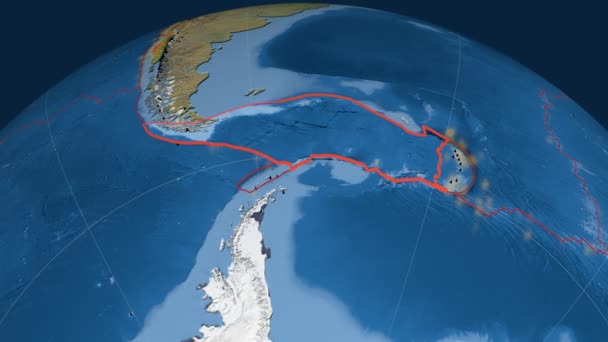
Scotia tectonics featured. Satellite imagery. Plate extruded and animated against the globe. Tectonic plates borders (newest division), earthquakes by strength & volcanic cones
Scotia tectonics featured. Satellite imagery — Stock Video
Blue earth technology, business and communications background loop. Animation of globe rotating with world map in the background. Computer generated. Room for your text and logo. This clip is a seamless loop
Blue earth technology, business and communications background loop — Stock Video
Rotating digital earth globe 3d loopable and seamless animation. Abstract concept background of future technology, modern science, cyber business, big data analising and 5G global network.
Rotating Digital Earth Globe Loopable Seamless Animation Abstract Concept Background — Stock Video
Digital earth data globe - abstract 3D rendering satellites starlink video network connection the world. satellites create oneweb or skybridge surrounding planet conveying complexity big data flood
Digital earth data globe - abstract 3D rendering satellites starlink video network connection the world. satellites create oneweb or skybridge surrounding planet conveying complexity big data flood — Stock Video

Usage Information

You can use this royalty-free photo "Main air routes in South America" for personal and commercial purposes according to the Standard or Extended License. The Standard License covers most use cases, including advertising, UI designs, and product packaging, and allows up to 500,000 print copies. The Extended License permits all use cases under the Standard License with unlimited print rights and allows you to use the downloaded stock images for merchandise, product resale, or free distribution.

You can buy this stock photo and download it in high resolution up to 5000x5000. Upload Date: Sep 22, 2012