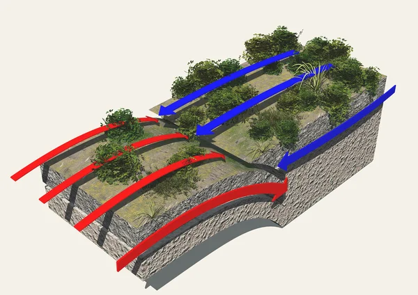
3d earth section — Stock Photo, Image

3d earth section — Photo

3d earth section on white background

 — Photo by vampy1

Same Series:

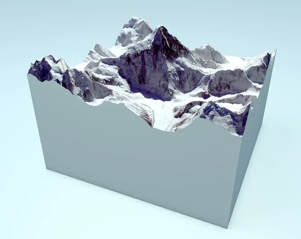
K2 cutaway section. Himalaya mountains. Images are furnished by NASA
K2 cutaway section. Himalaya mountains — Stock Photo, Image
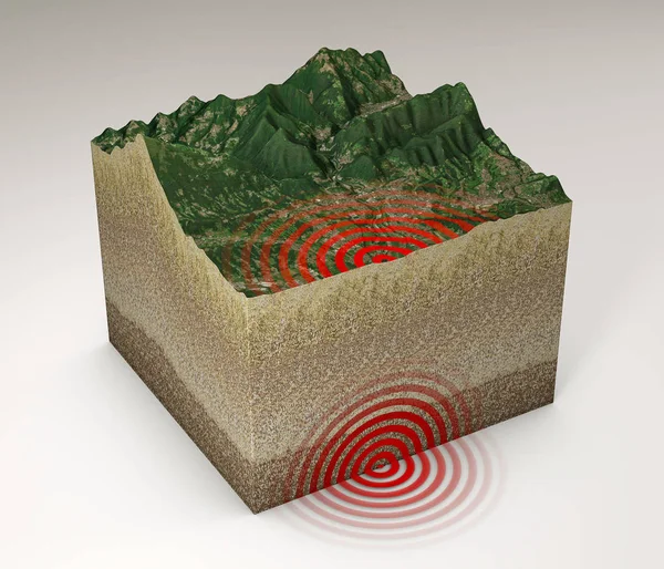
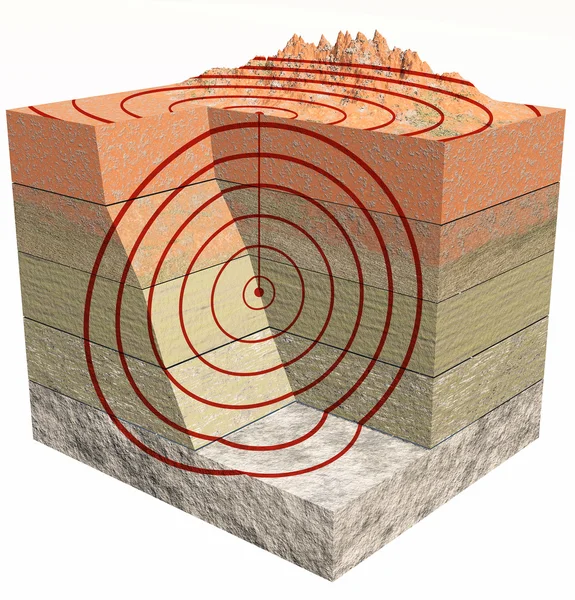
Earthquake ground section, shake, epicenter and subsoil, elements of this image are furnished by NASA. 3d rendering
Earthquake Ground Section Shake Epicenter Subsoil Elements Image Furnished Nasa — Stock Photo, Image
3d mountains section with earthquake isolated on white background
Mountains section with earthquake — Stock Photo, Image
Satellite view of the Mello Valley, Val di Mello, a green valley surrounded by granite mountains and forest trees, renamed the little italian Yosemite Valley by the nature lovers. Italy. Val Masino, 3d render
Satellite View Mello Valley Val Mello Green Valley Surrounded Granite — Stock Photo, Image
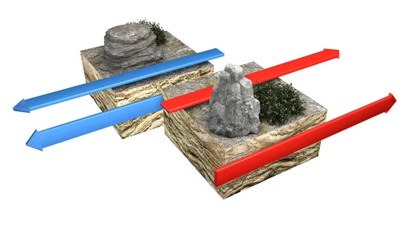
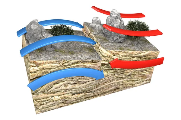
Types of plate boundaries. Transform boundaries (Conservative) occur where two lithospheric plates slide, grind past each other along transform faults, where plates are neither created nor destroyed. 3d rendering
Types Plate Boundaries Transform Boundaries Conservative Occur Two Lithospheric Plates — Stock Photo, Image
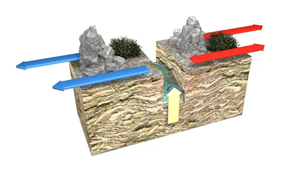
Types of plate boundaries. Divergent boundaries (Constructive) occur where two plates slide apart from each other. At zones of continent-to-continent rifting, divergent boundaries may cause new ocean basin to form as the continent splits, spreads
Types Plate Boundaries Divergent Boundaries Constructive Occur Two Plates Slide — Stock Photo, Image
3d earth section on white background
3d earth section — Stock Photo, Image
Satellite view of Mount Everest, Lhotse I, Nuptse, base camps for the ascent to the mountains of the Himalayas, on the border between Nepal and China. Section, 3d rendering. South side view
Satellite View Mount Everest Lhotse Nuptse Base Camps Ascent Mountains — Stock Photo, Image
3d mountains section with earthquake on gray background
Mountains section with earthquake — Stock Photo, Image
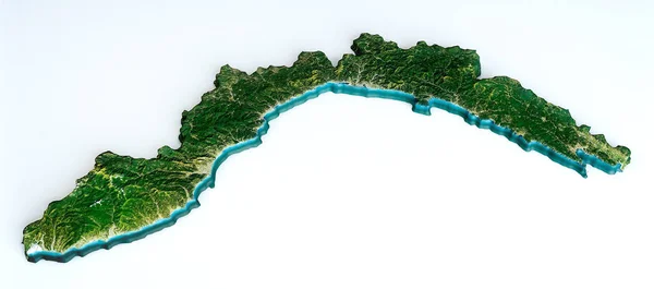
Satellite view of the Liguria region. Italy. 3d render. Physical map of Liguria, plains, mountains, lakes, mountain range of the Alps
Satellite View Liguria Region Italy Render Physical Map Liguria Plains — Stock Photo, Image
Mount Everest, relief height, mountains. Himalaya map. A flag waving on the summit of the everest
Mount Everest Relief Height Mountains Himalaya Map Flag Waving Summit — Stock Photo, Image
Types of plate boundaries. Convergent boundaries (Destructive) (or active margins) occur where two plates slide toward each other to form either a subduction zone (one plate moving underneath the other) or a continental collision. 3d rendering
Types Plate Boundaries Convergent Boundaries Destructive Active Margins Occur Two — Stock Photo, Image
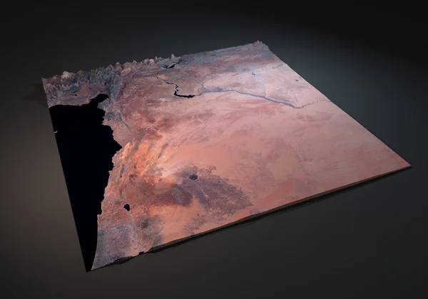
Map of Syrian Arab Republic, satellite view on black background
Map of Syrian Arab Republic — Stock Photo, Image
Tectonic plates, earthquake
Tectonic plates — Stock Photo, Image
Tectonic plate interaction illustration
Tectonic plate interaction — Stock Photo, Image
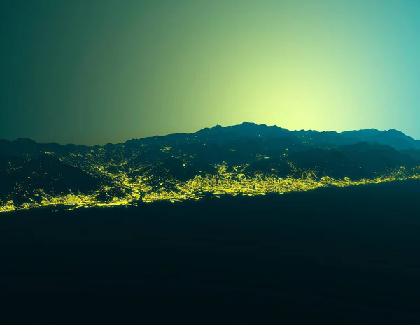
Aerial view of Genoa, Liguria, Italy. Silhouette of mountains, mountain ranges shrouded in fog. Sunrise in the mountains, first light of day. Buildings lights, night view of Genova and the surrounding areas, 3d render. Alps
Aerial View Genoa Liguria Italy Silhouette Mountains Mountain Ranges Shrouded — Stock Photo, Image

Usage Information

You can use this royalty-free photo "3d earth section" for personal and commercial purposes according to the Standard or Extended License. The Standard License covers most use cases, including advertising, UI designs, and product packaging, and allows up to 500,000 print copies. The Extended License permits all use cases under the Standard License with unlimited print rights and allows you to use the downloaded stock images for merchandise, product resale, or free distribution.

You can buy this stock photo and download it in high resolution up to 2143x2882. Upload Date: Jun 23, 2013